Printable maps and data downloads
Every state map as a labelled or blank vector, a high-resolution image, and a print-ready PDF. Plus the whole dataset as CSV. All free, all public domain.
What you get
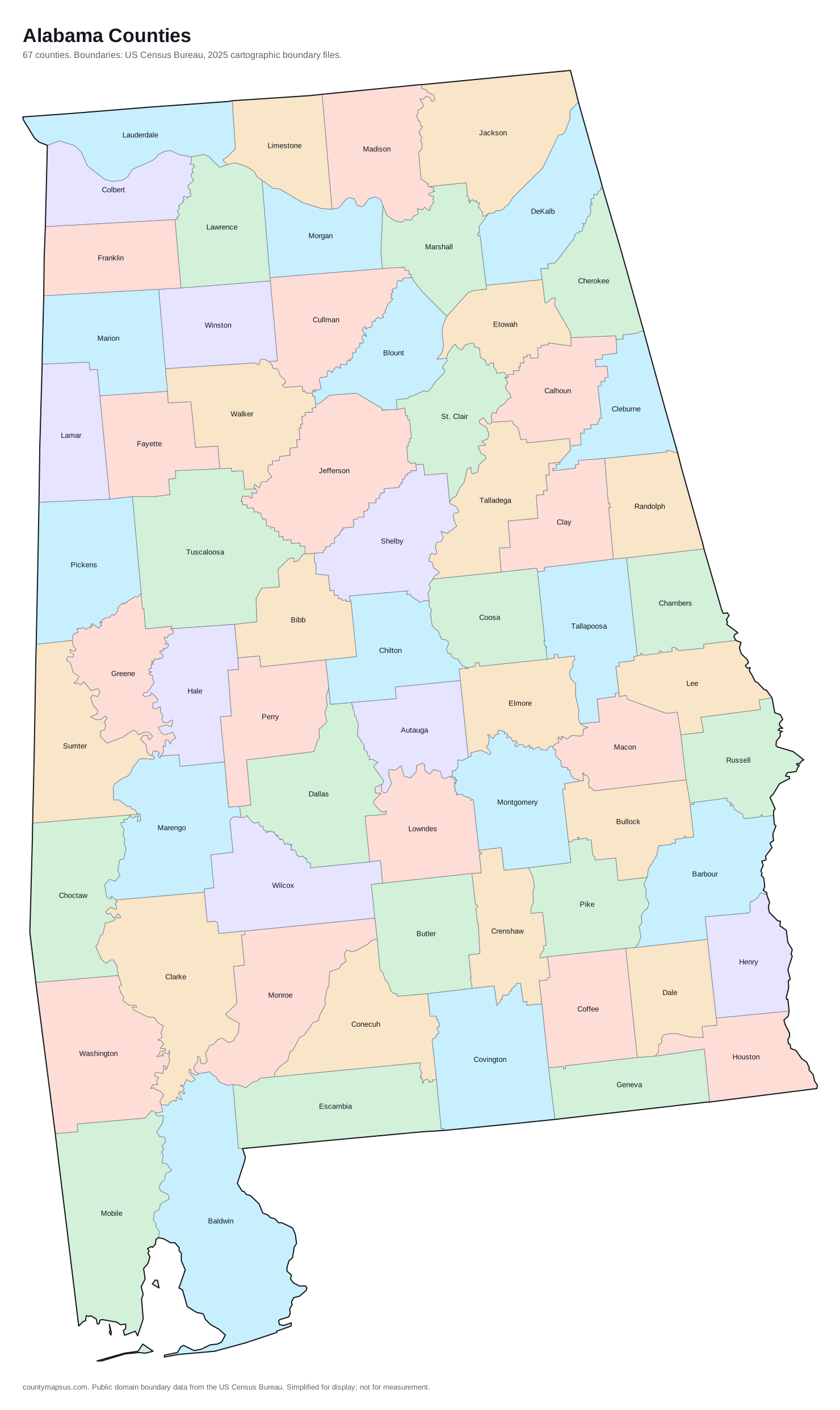
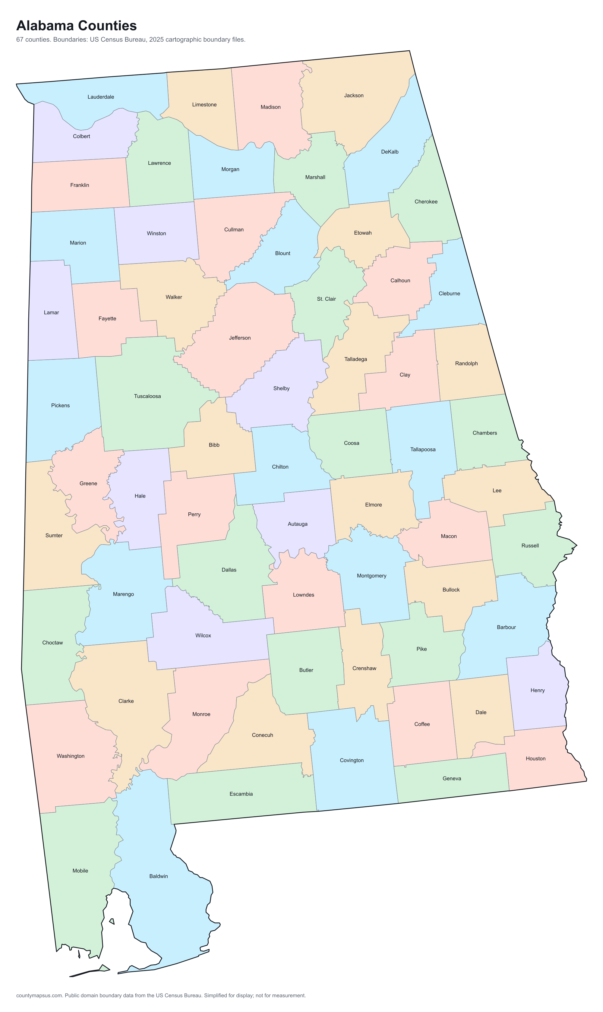
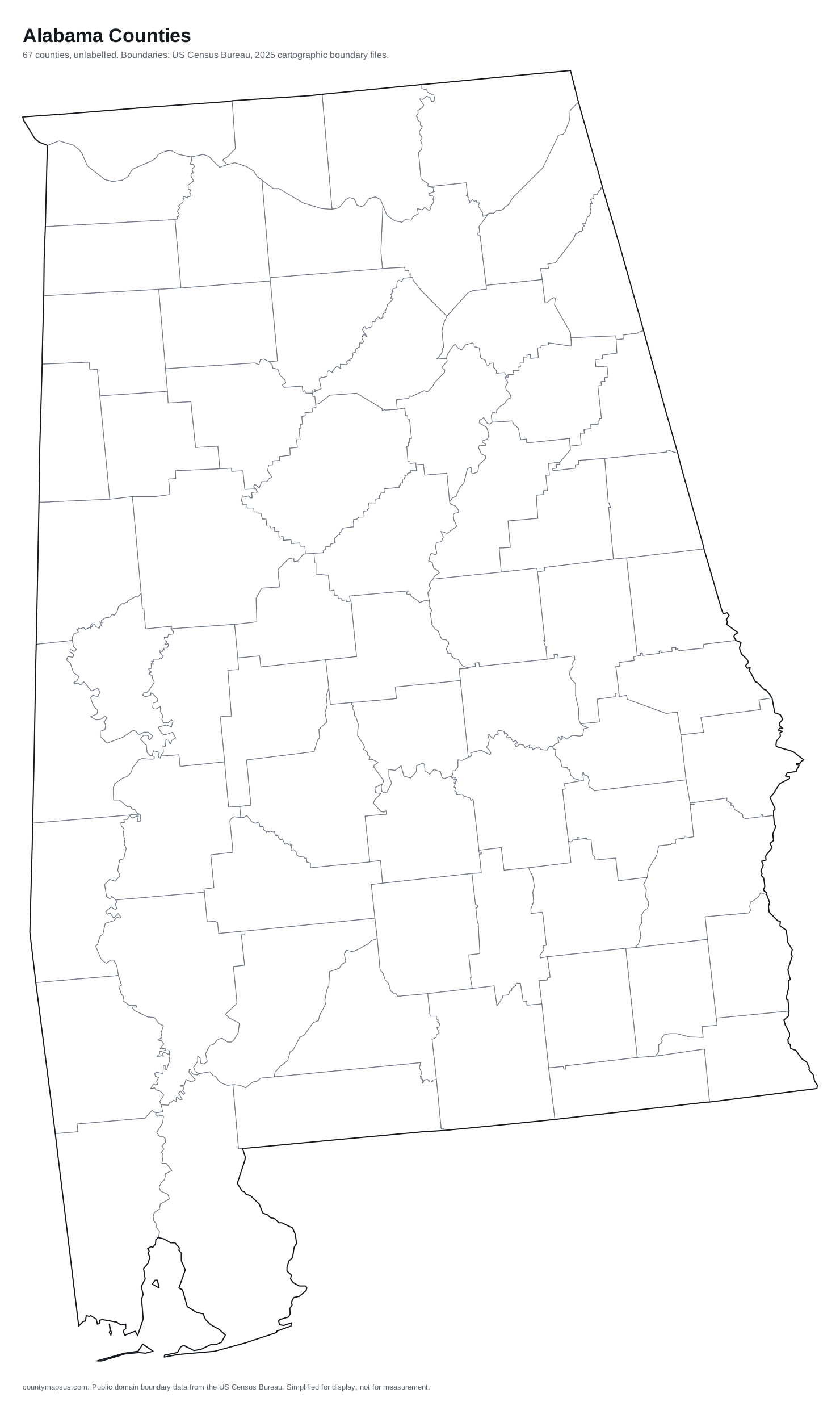
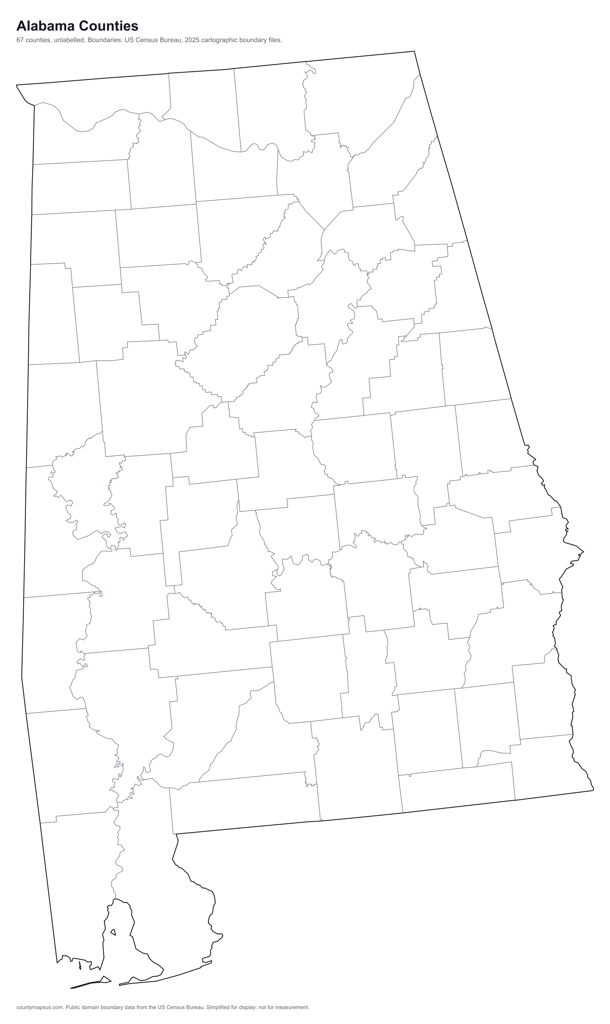
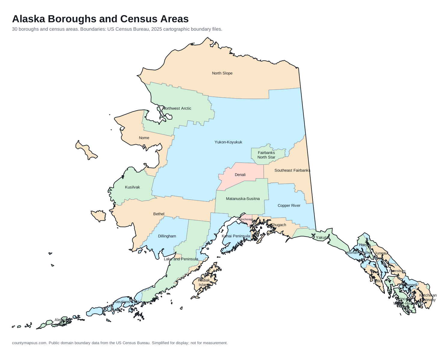
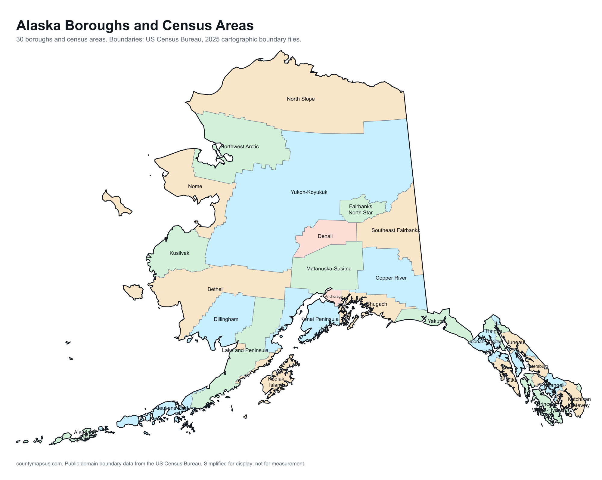
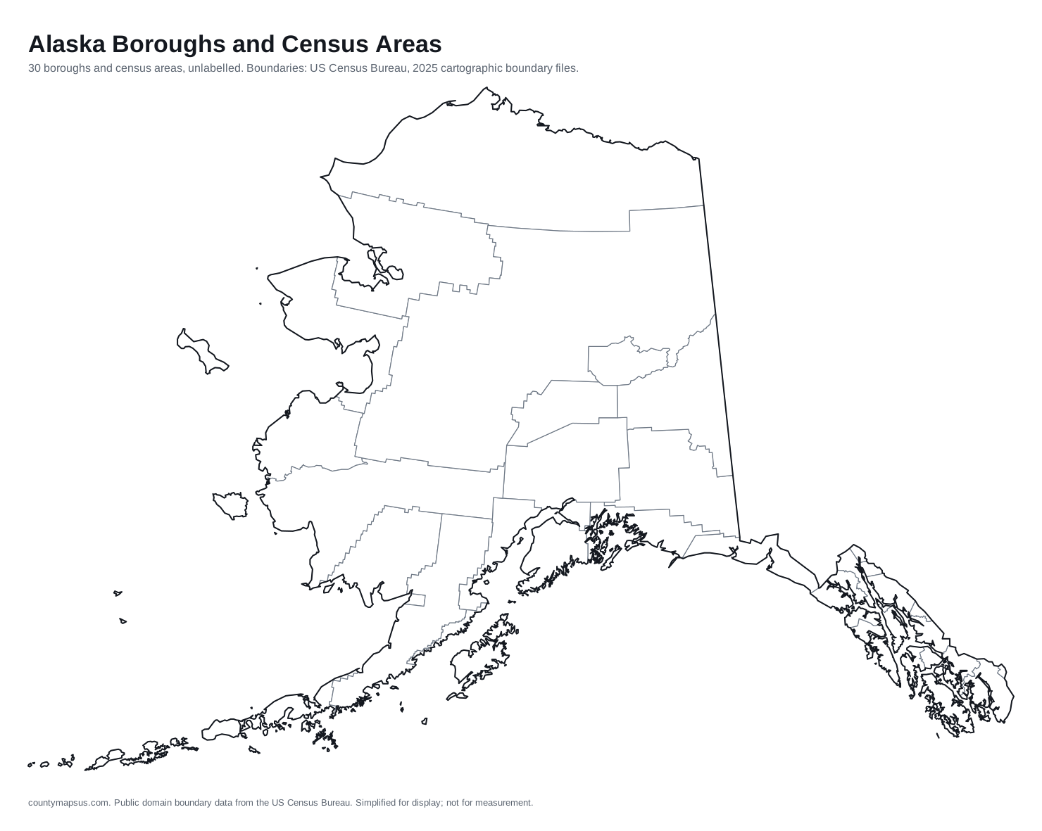
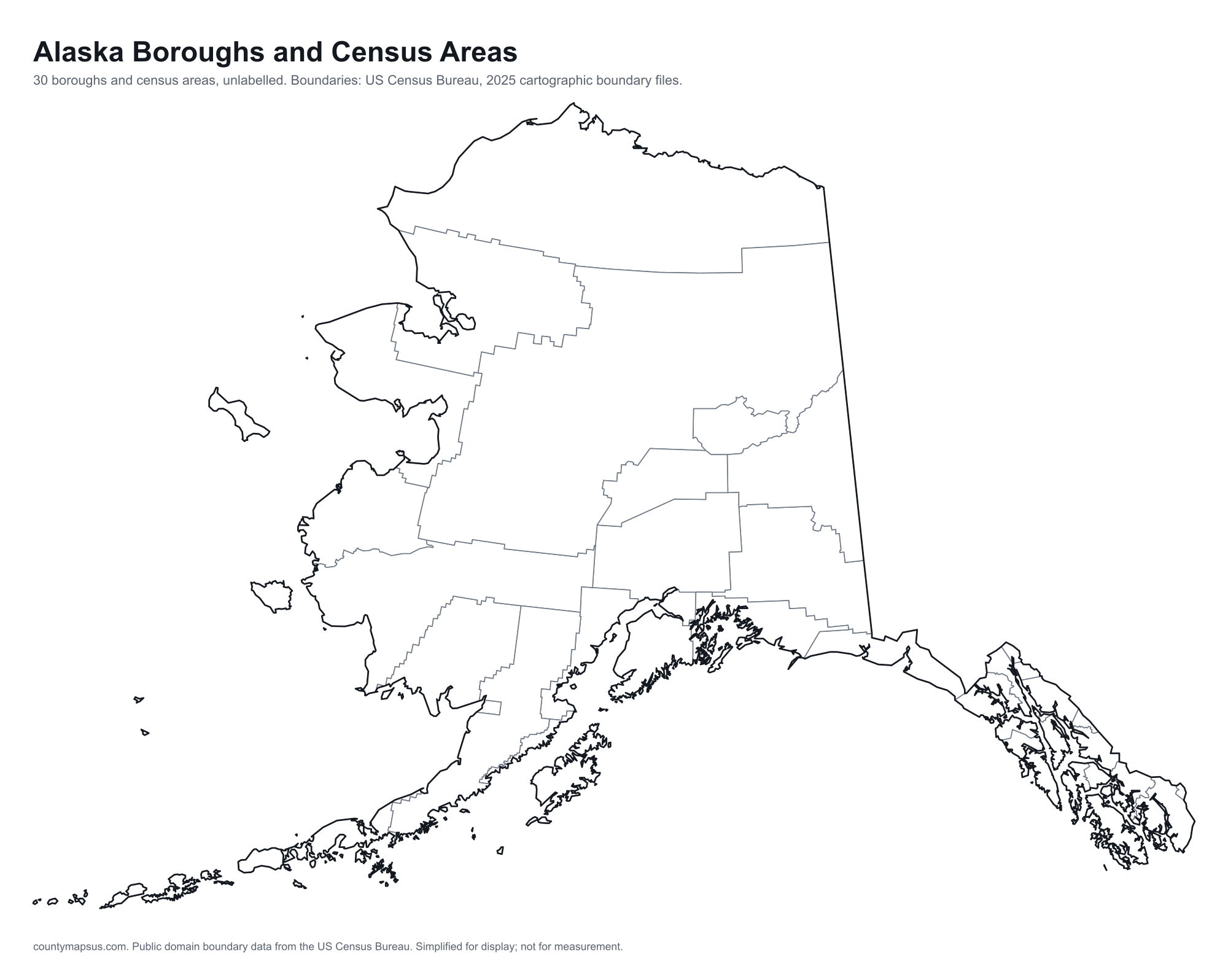
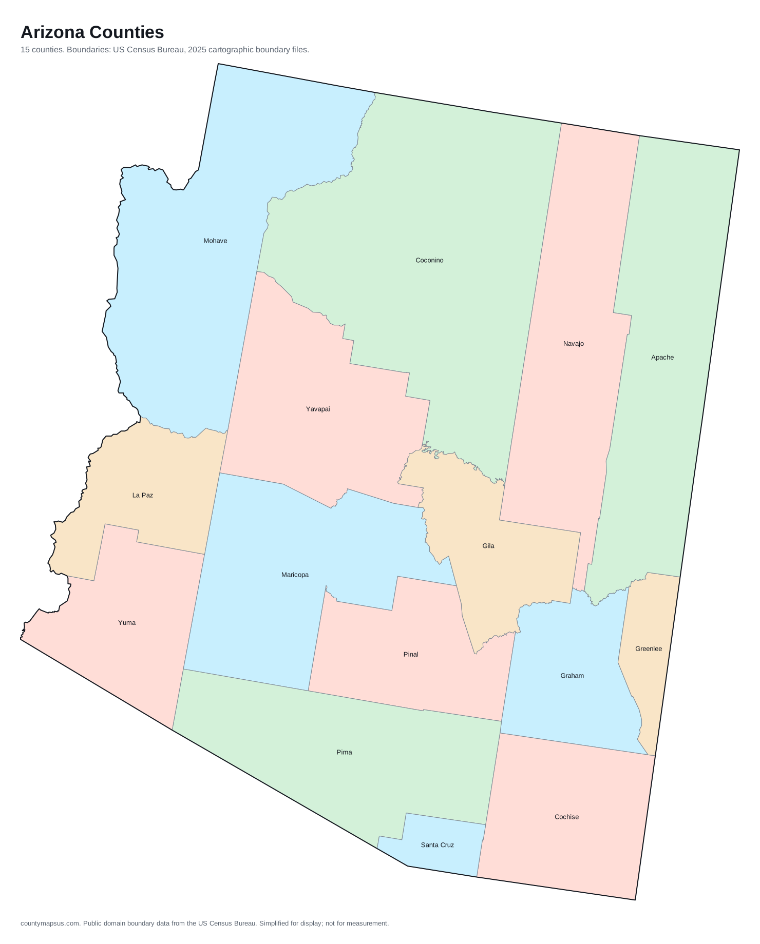
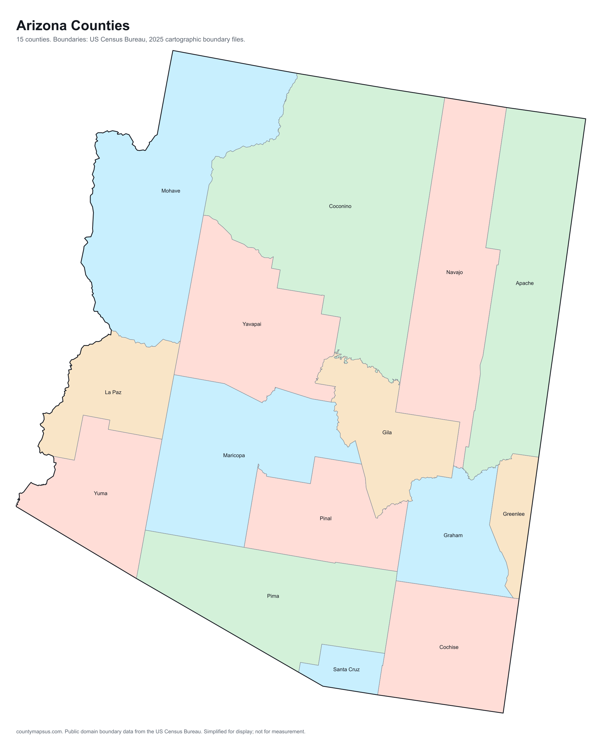
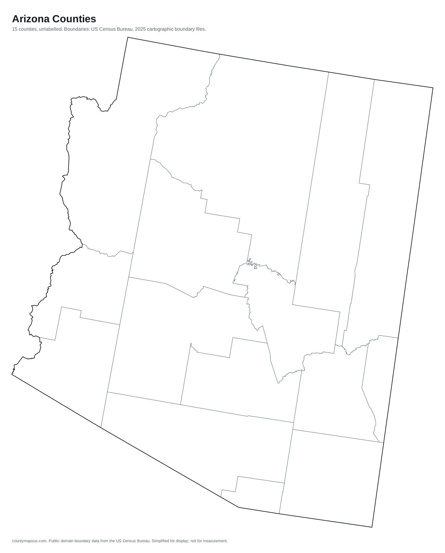
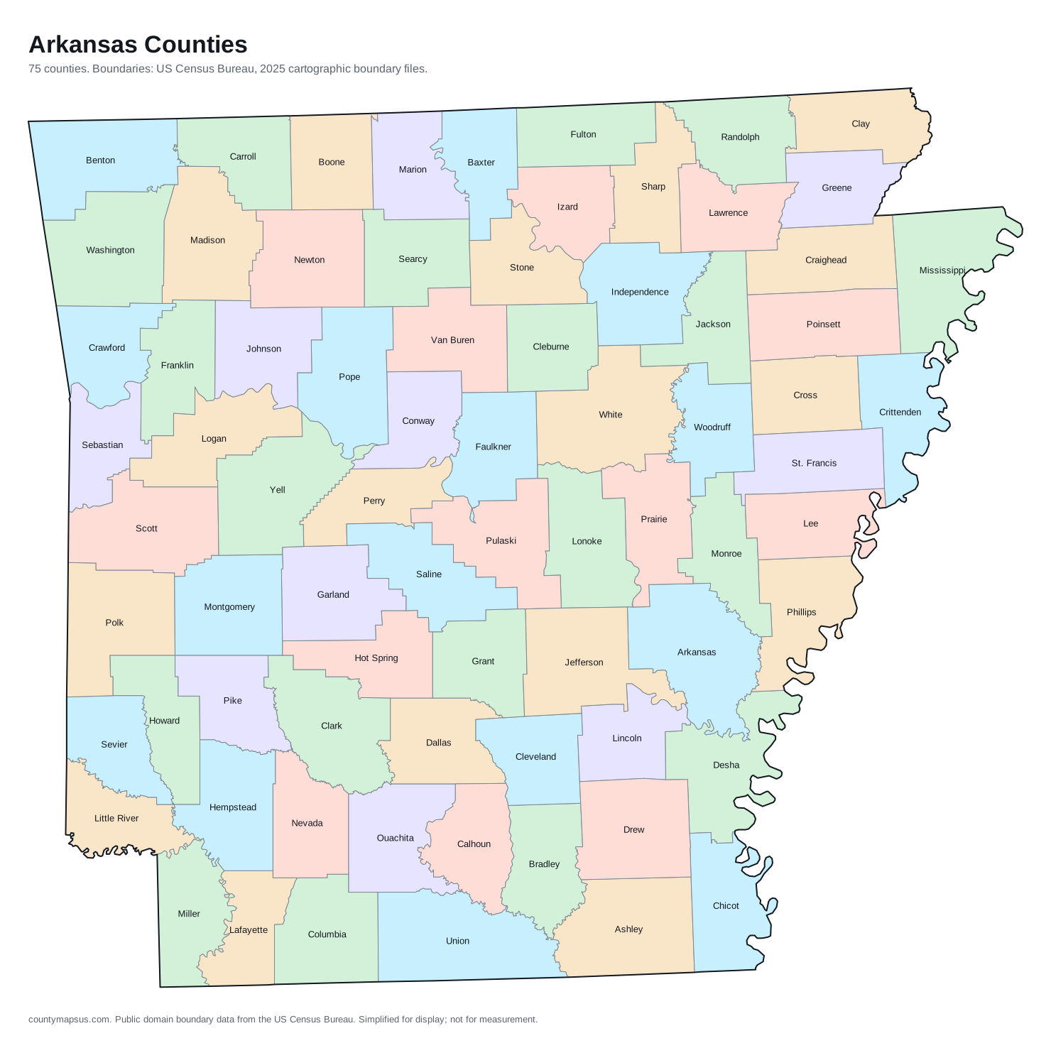
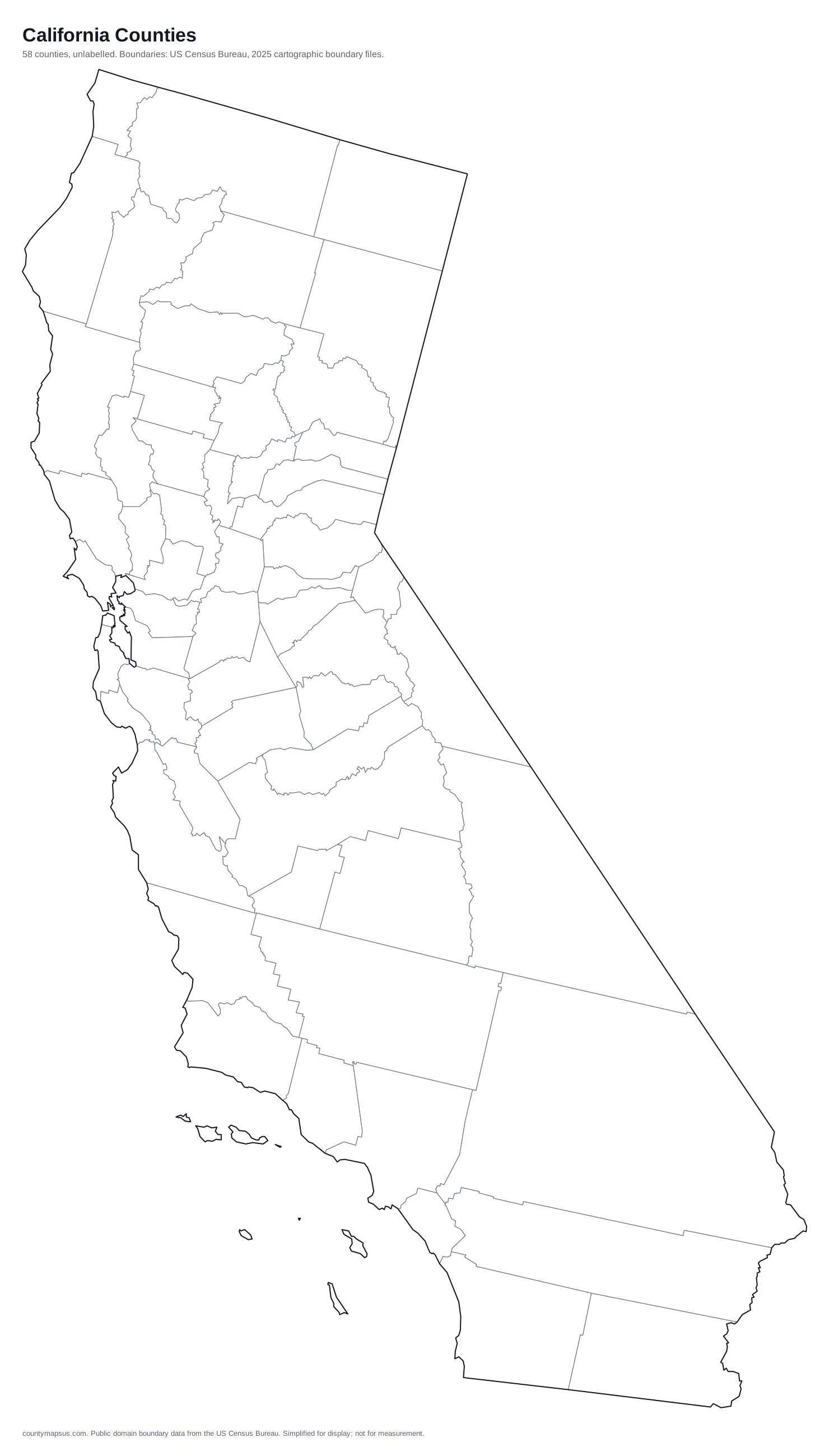
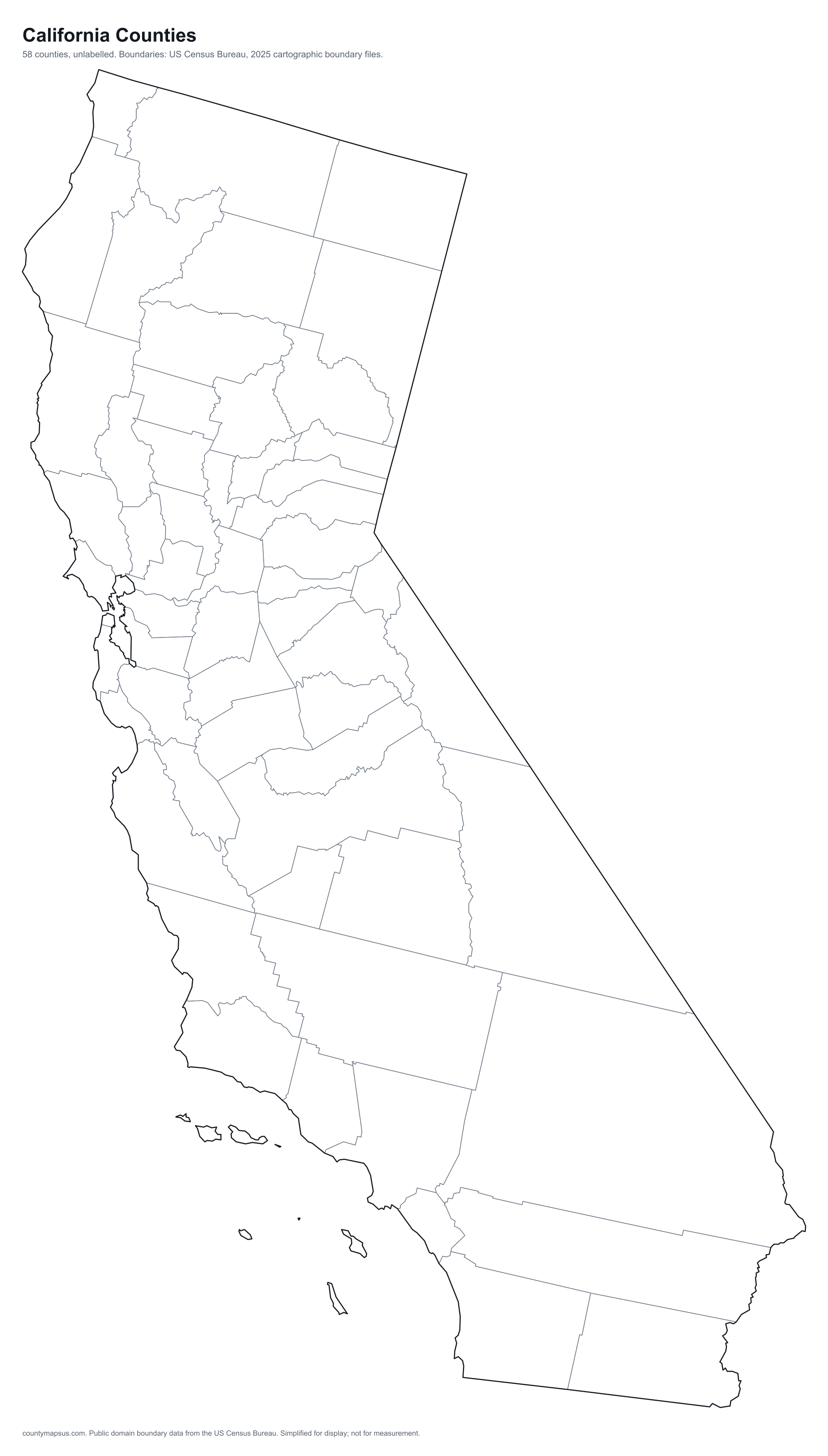
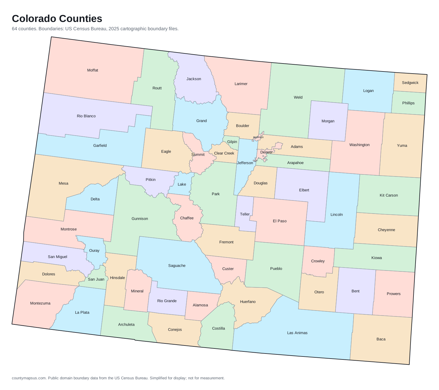
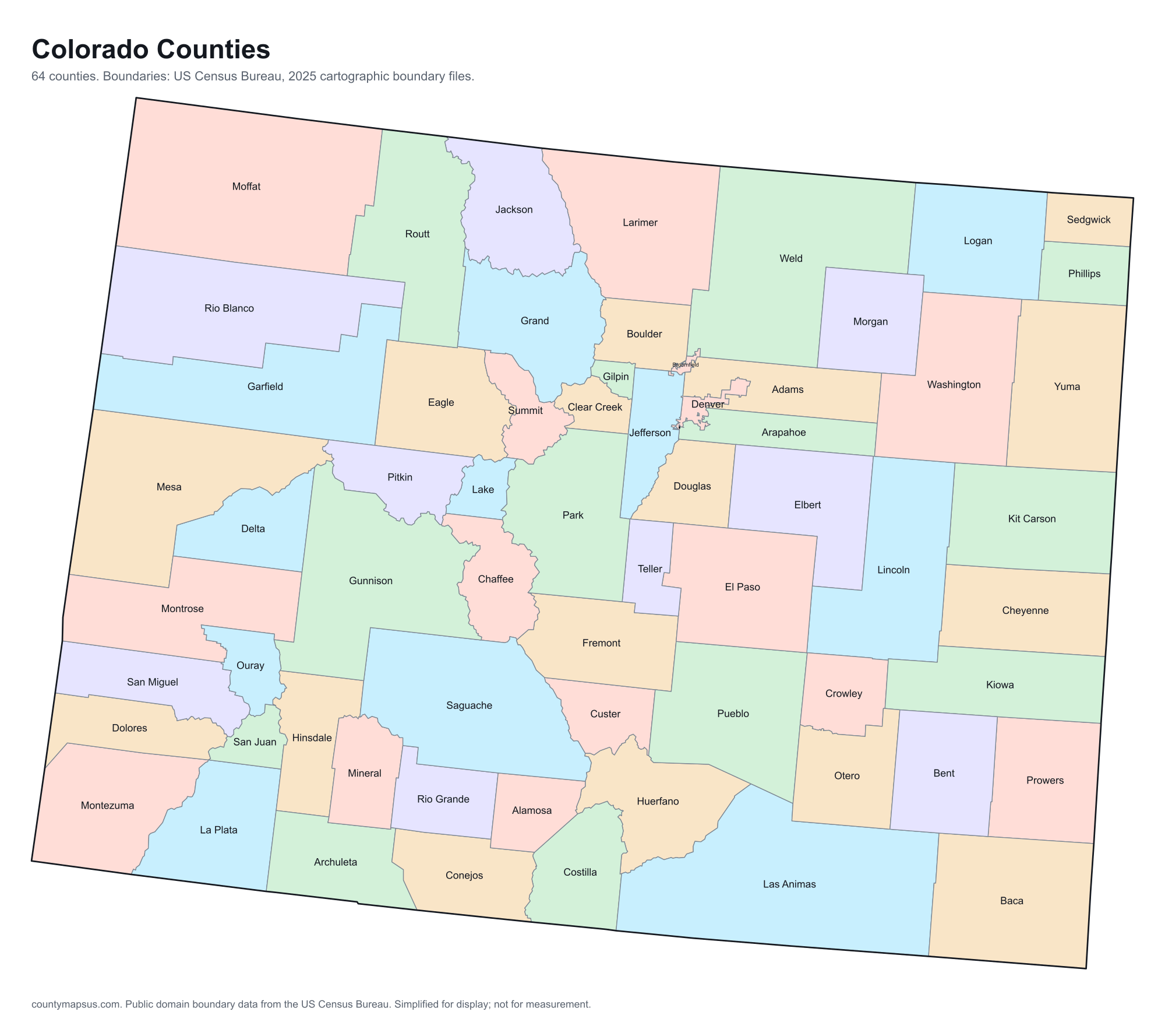
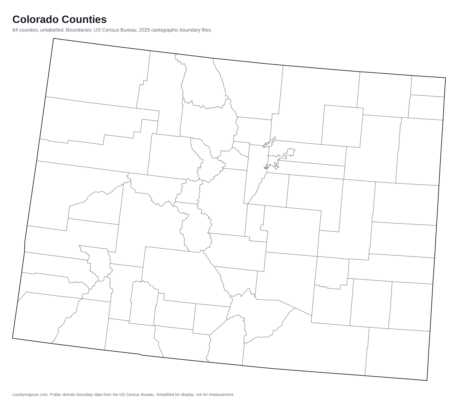
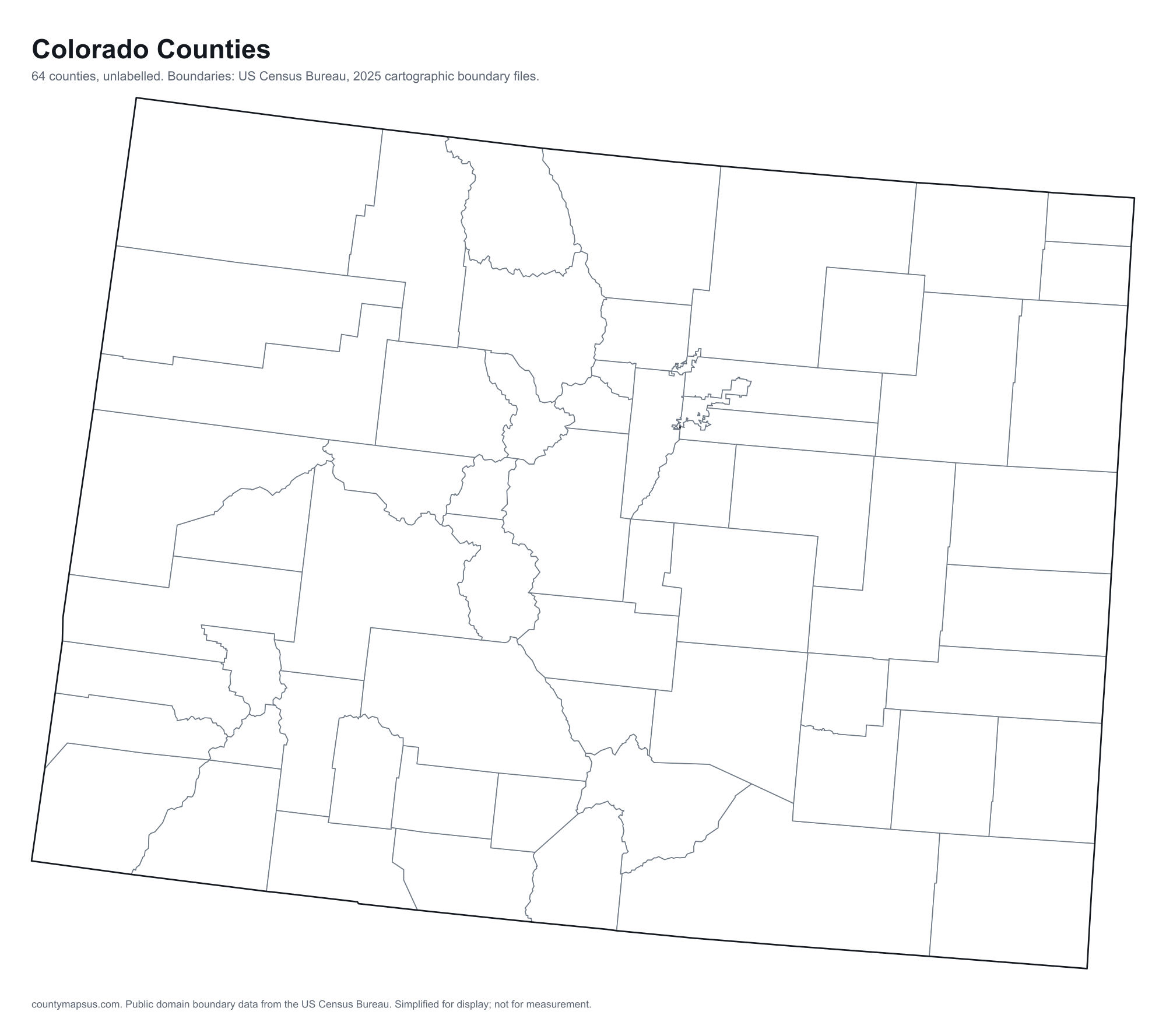
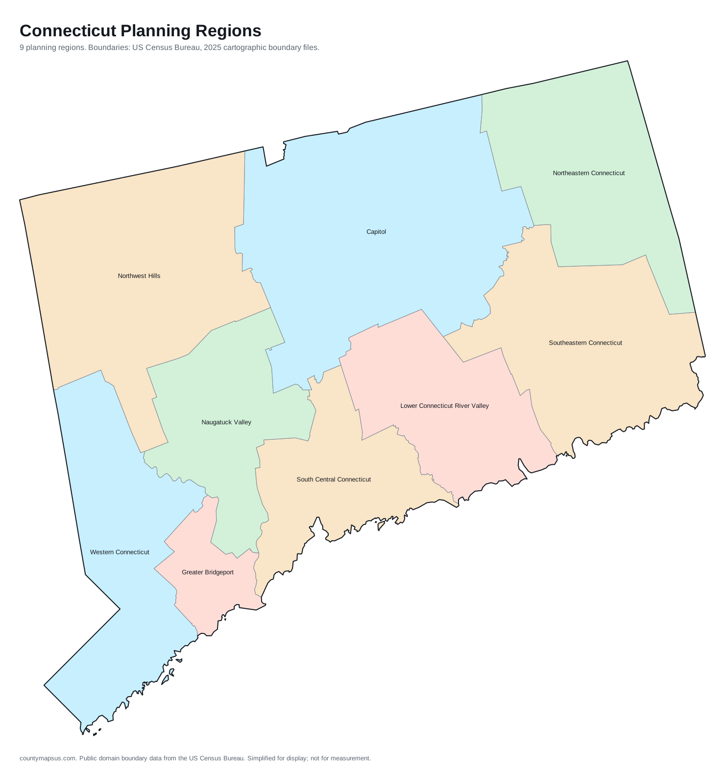
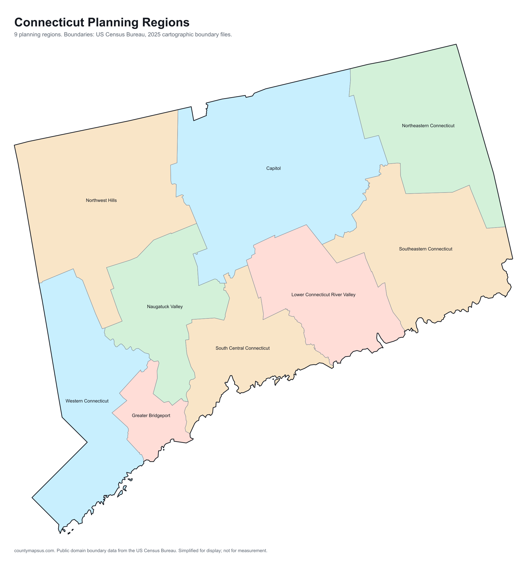
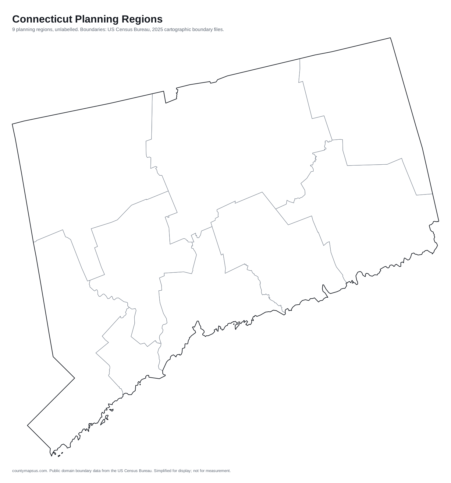
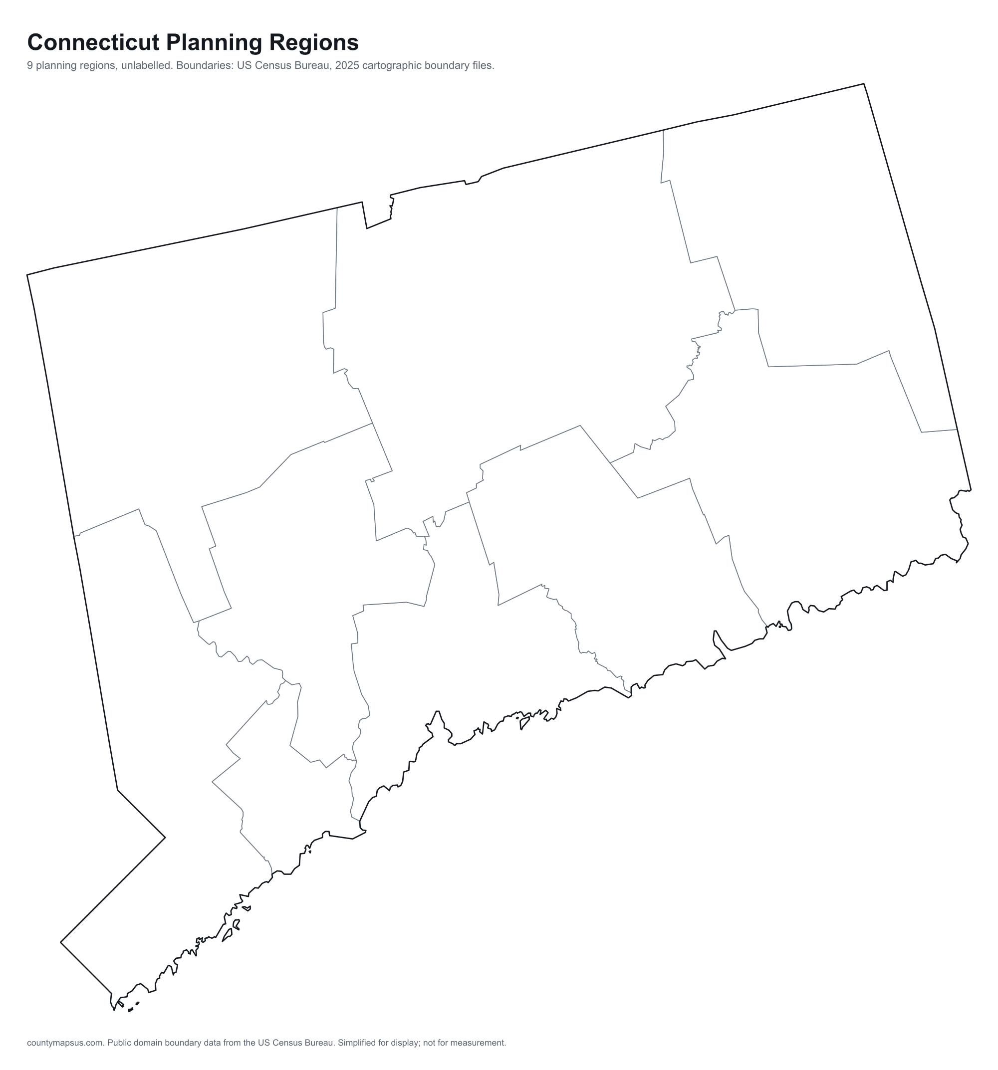
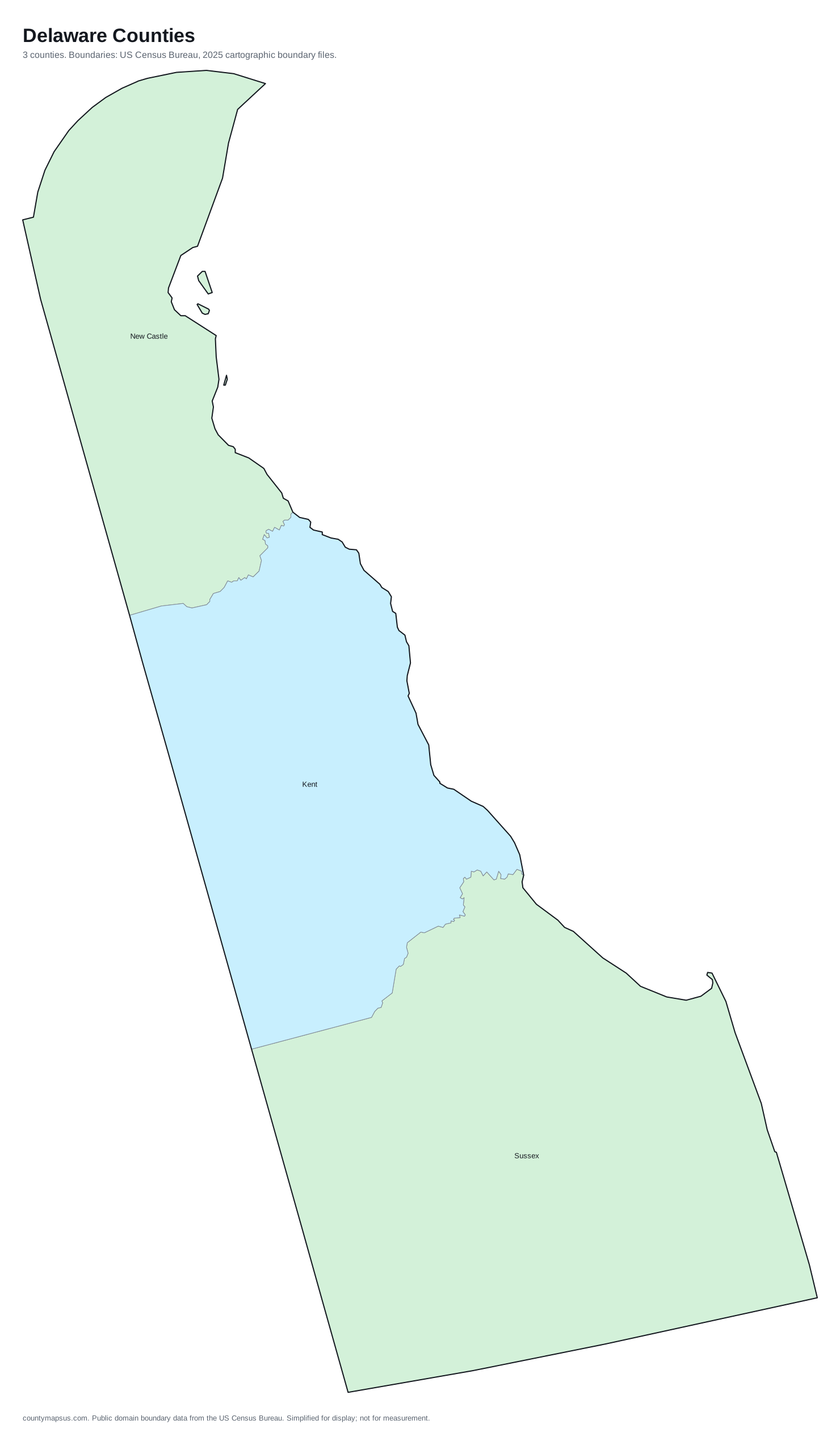
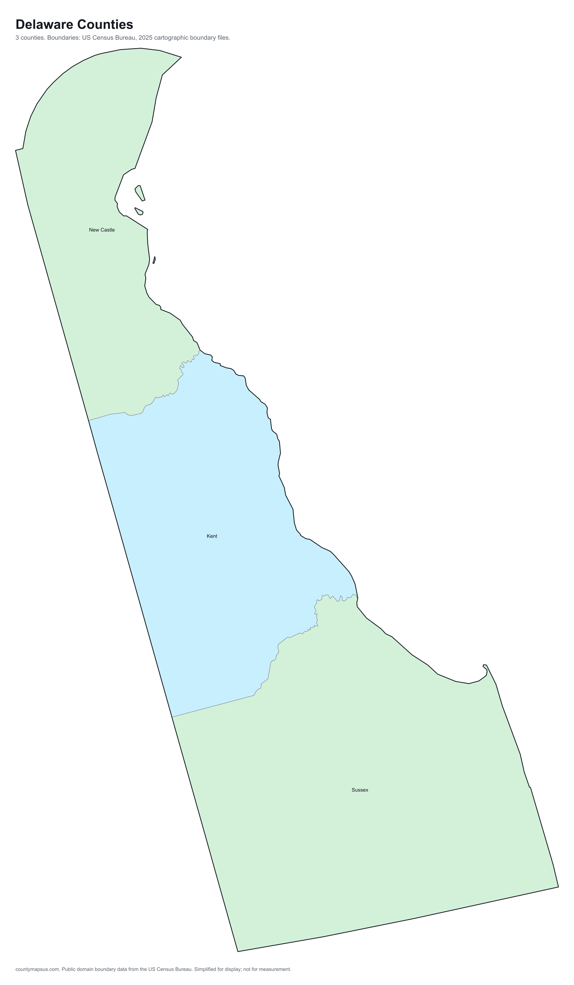
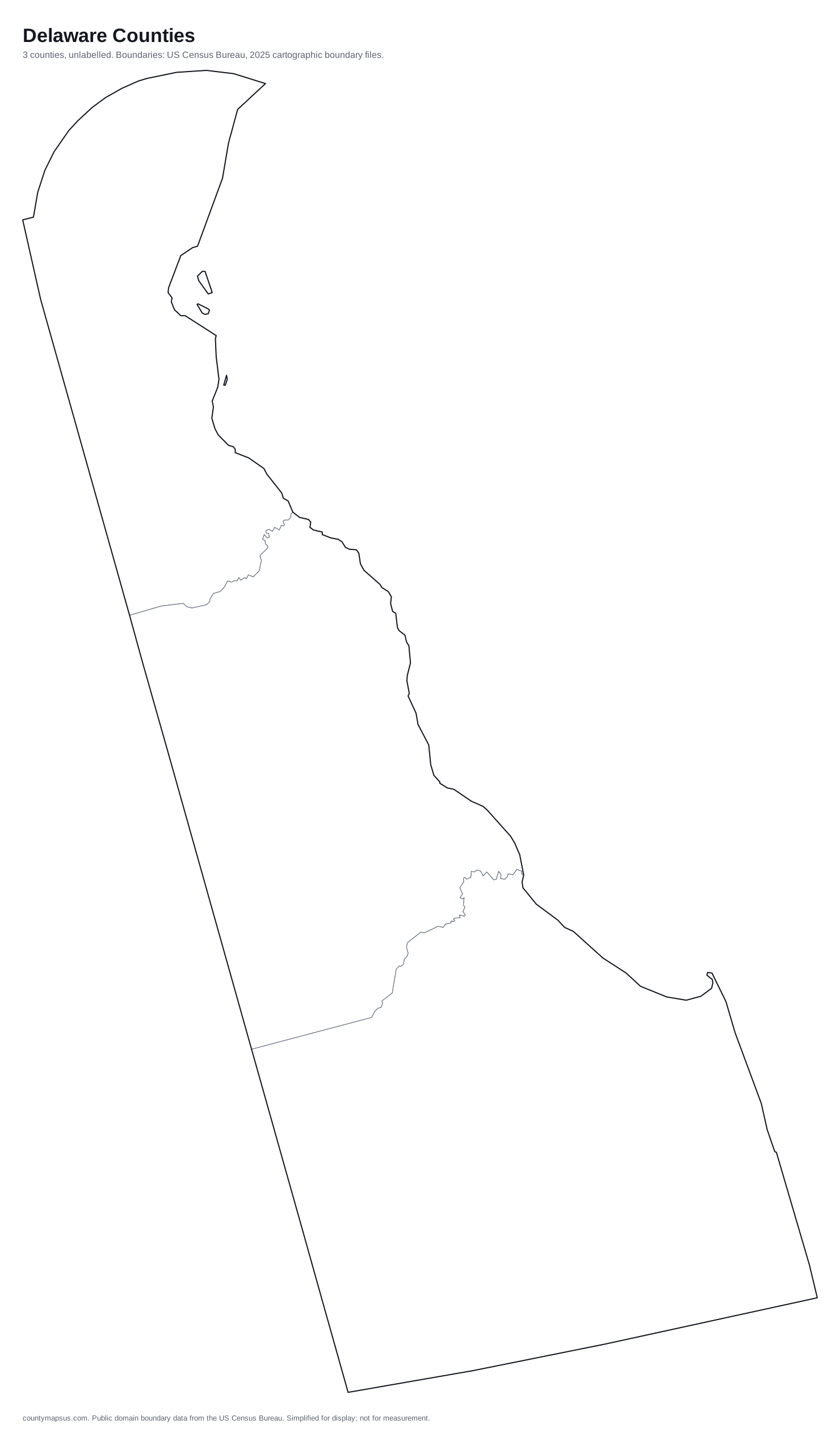
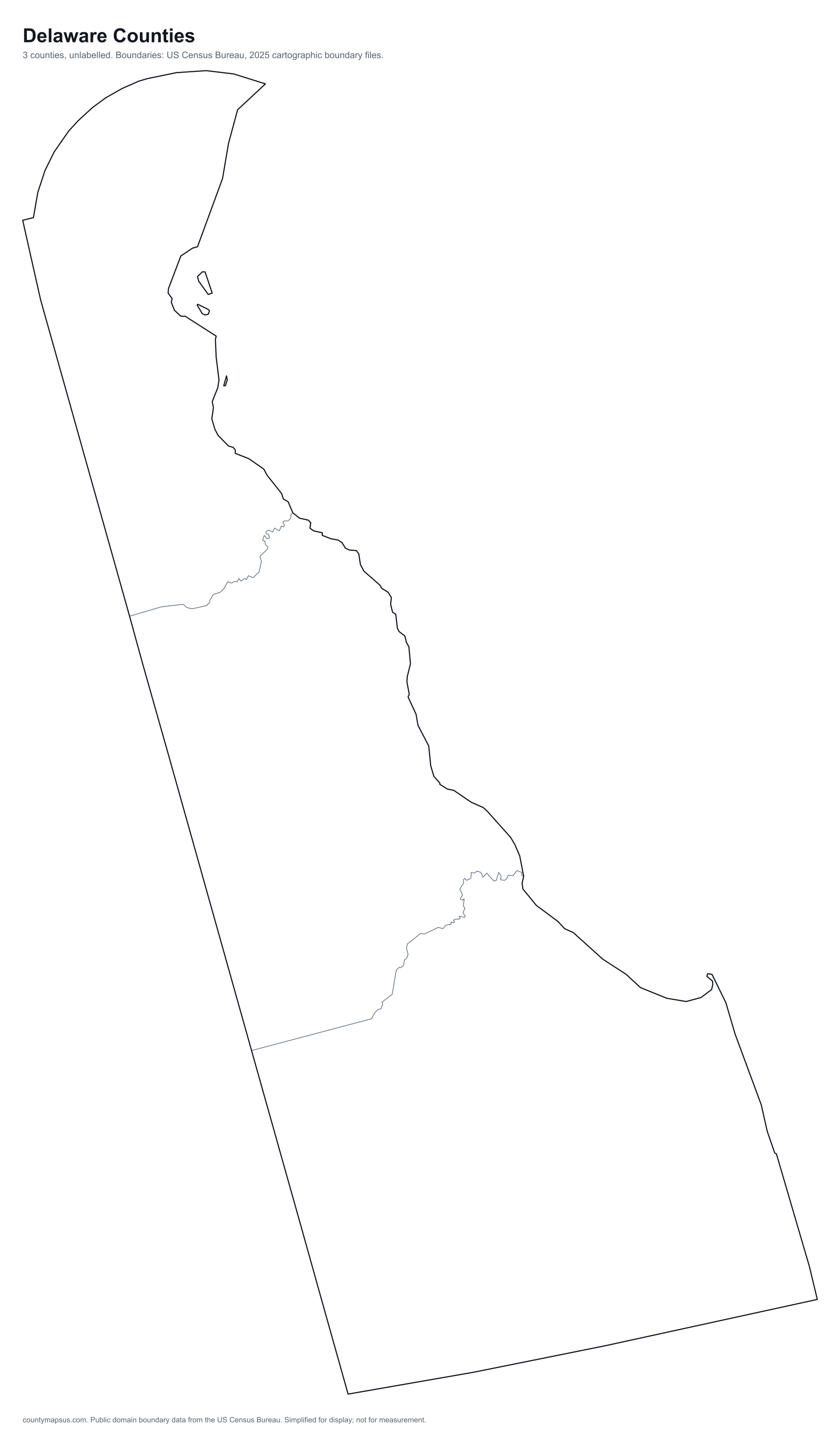
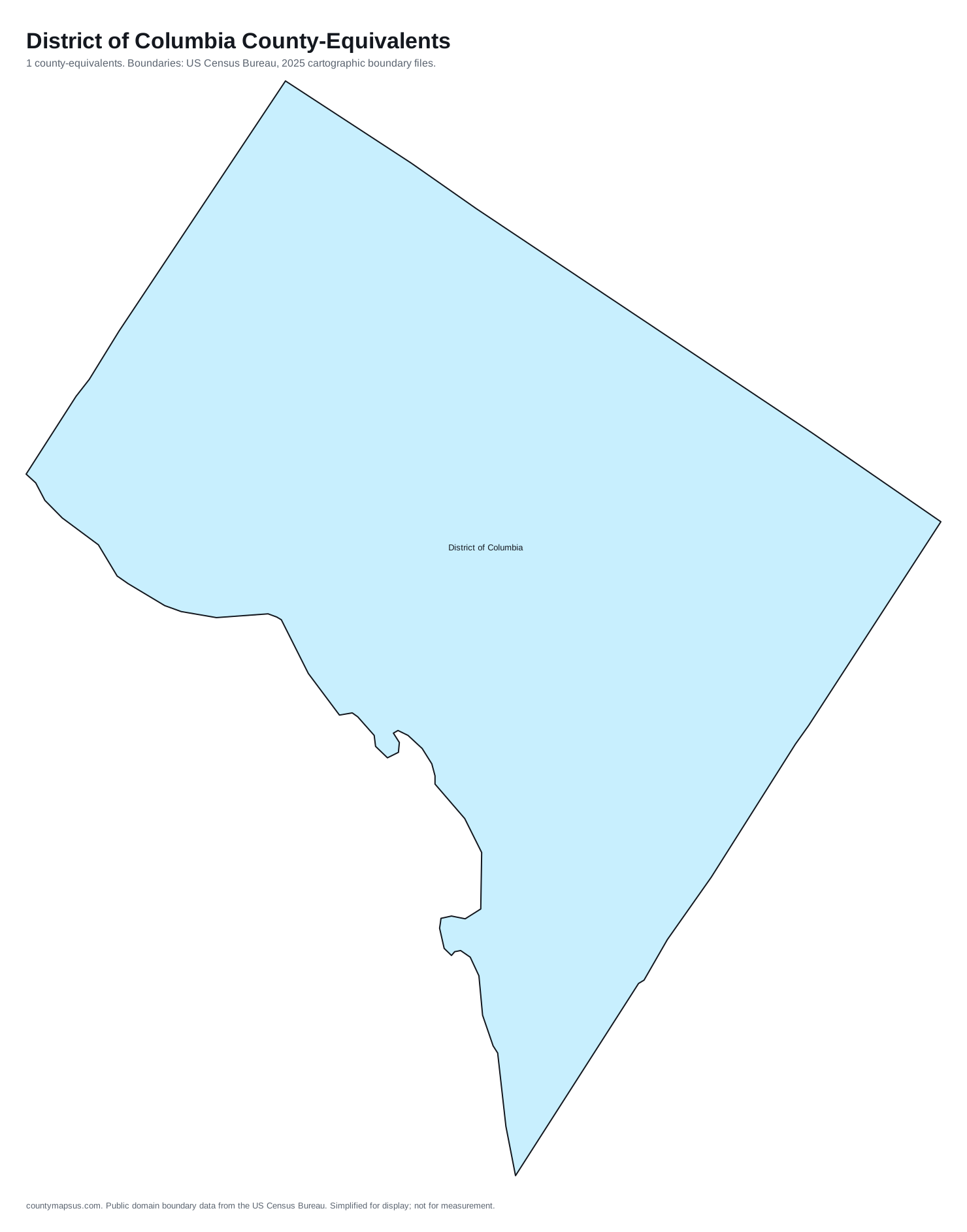
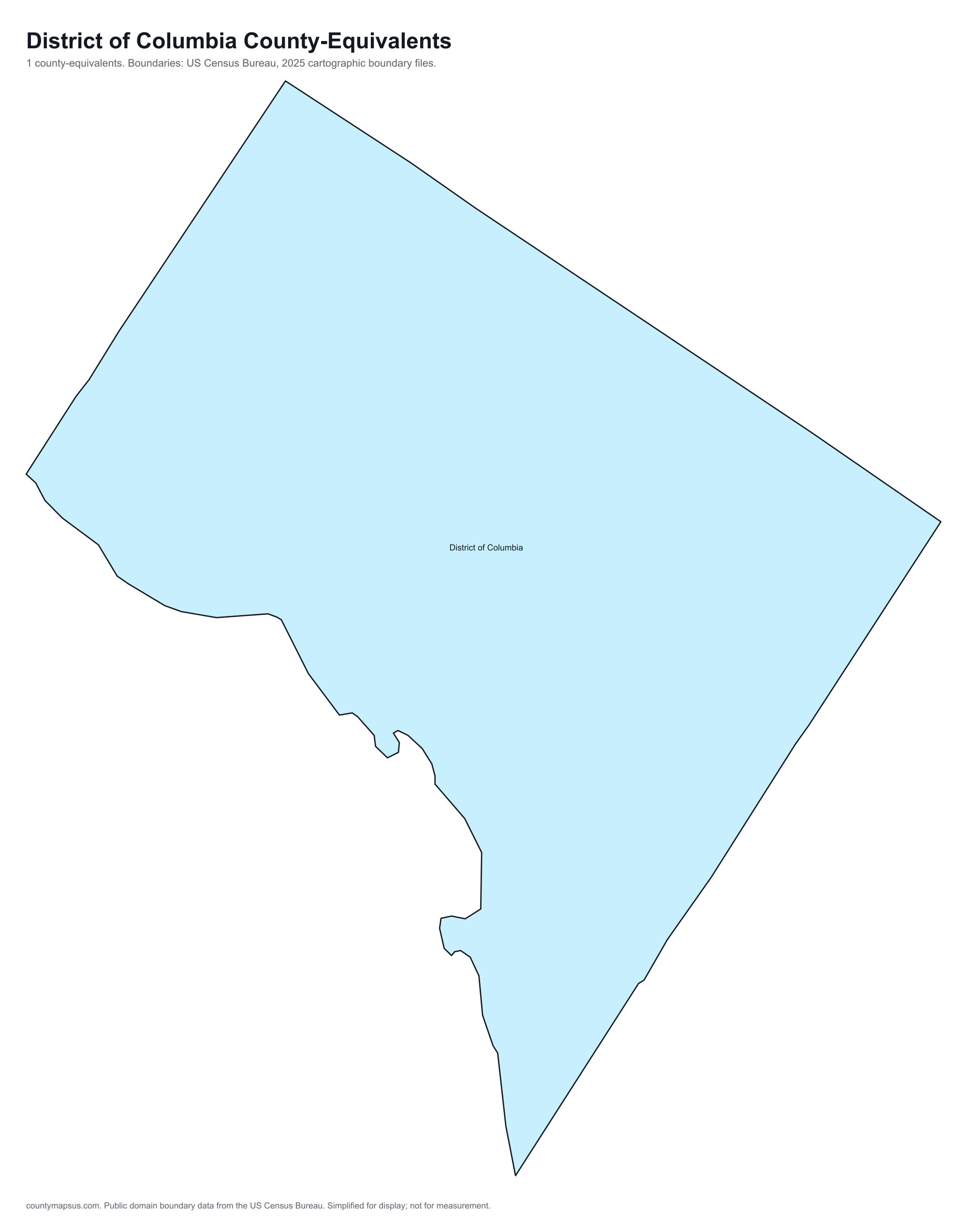
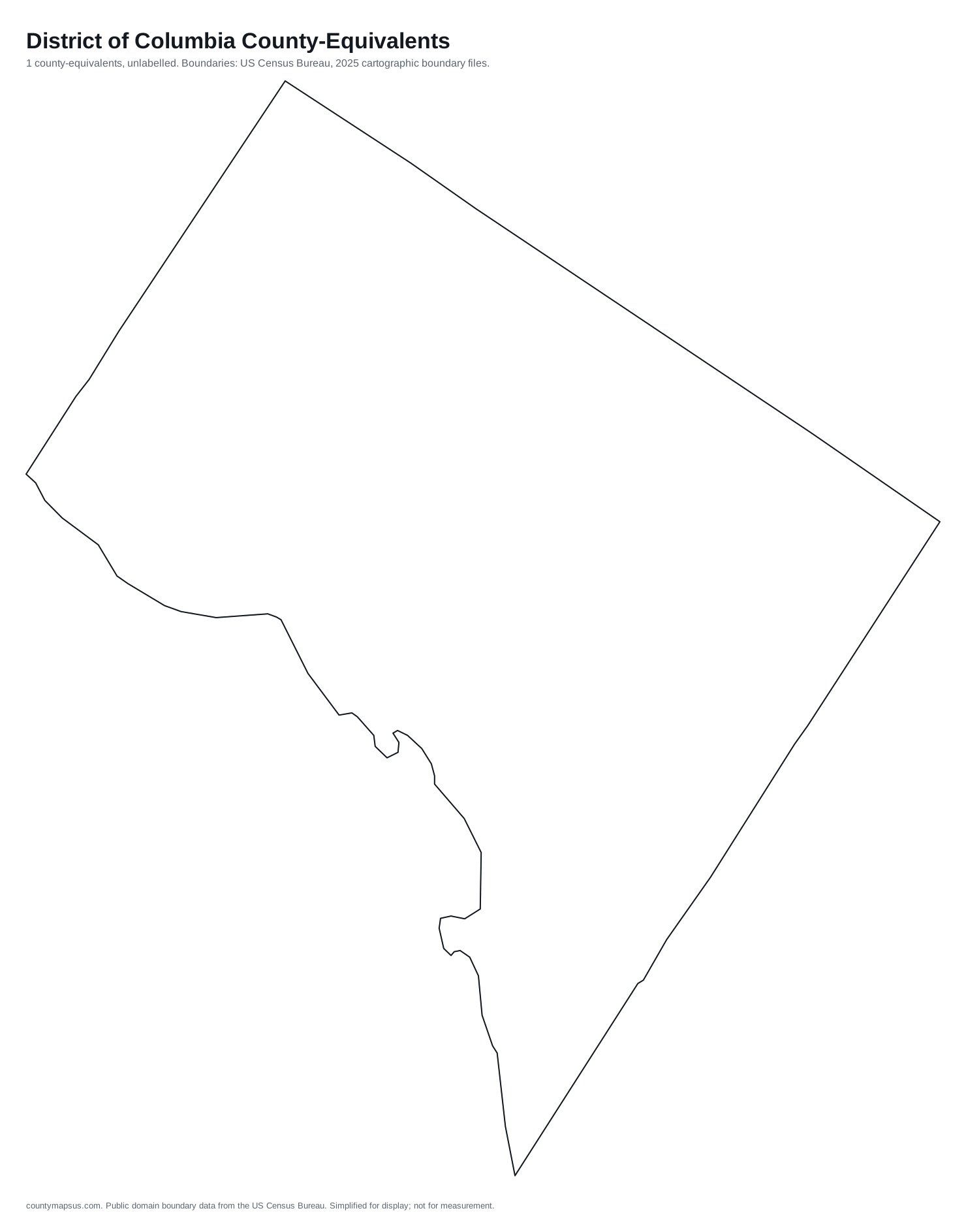
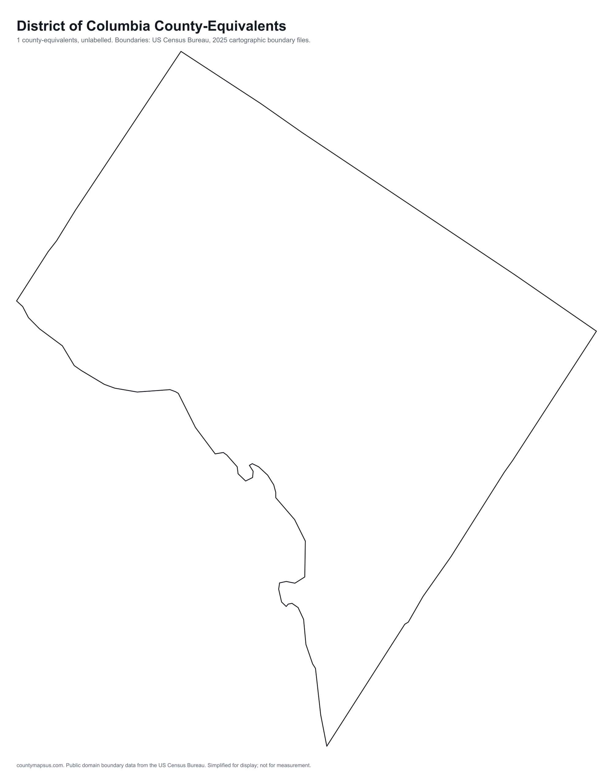
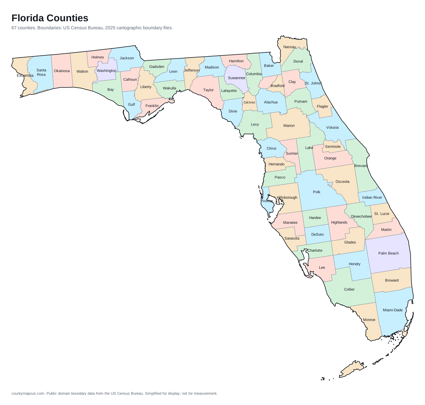
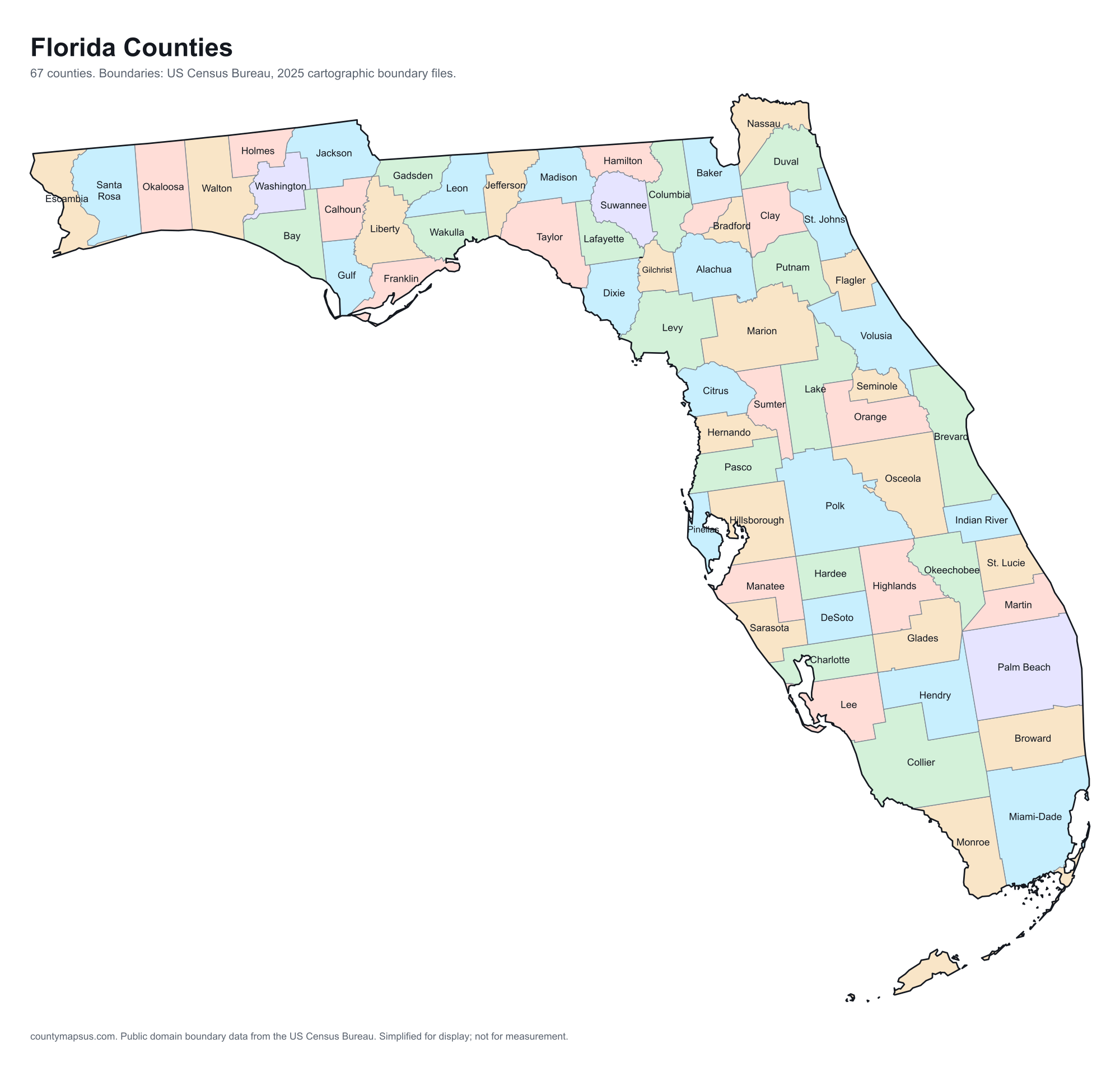
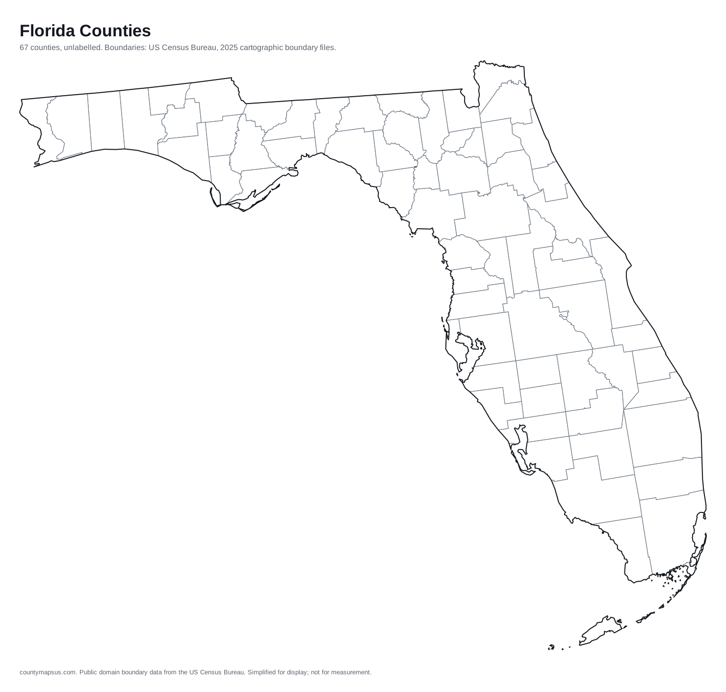
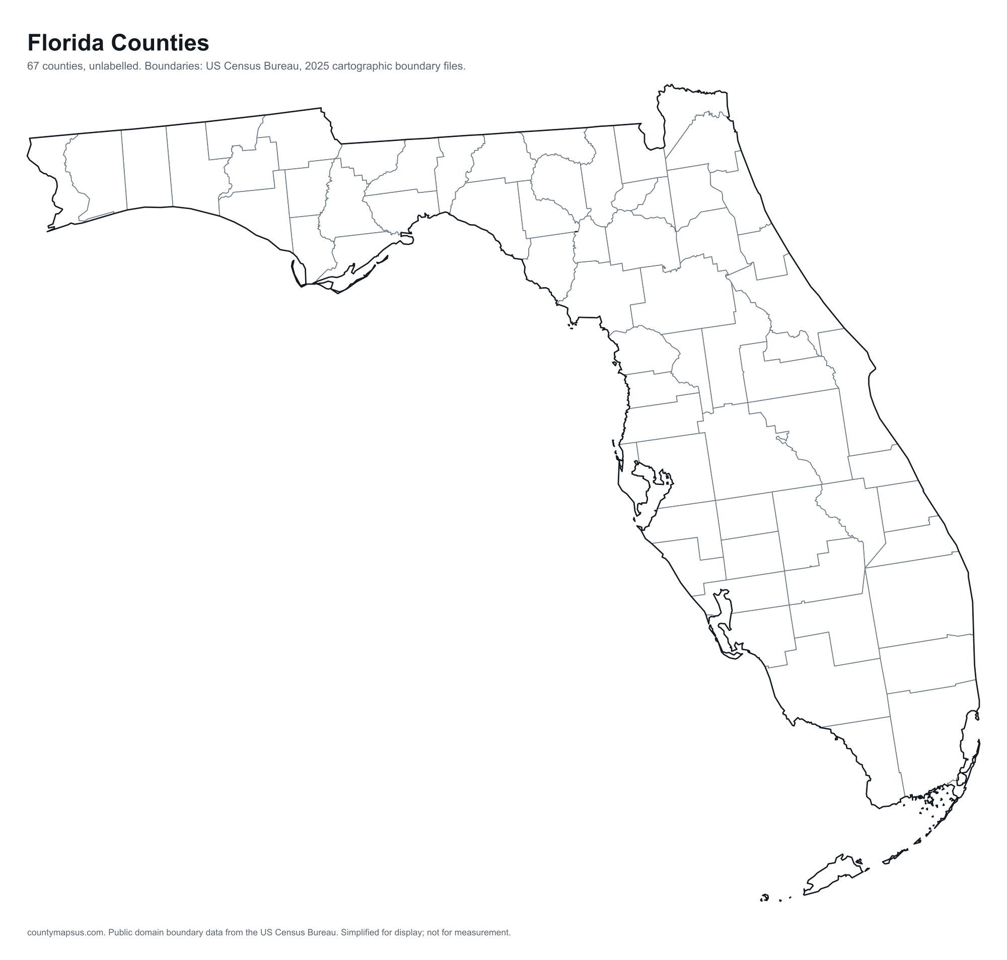
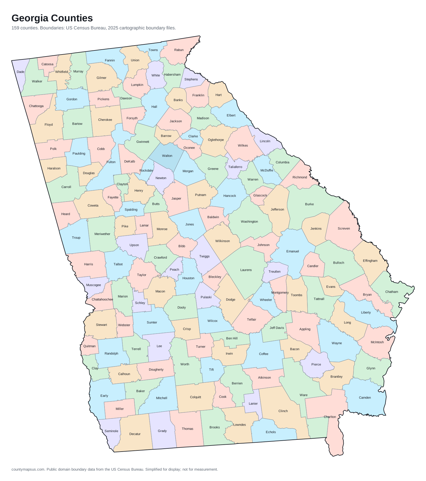
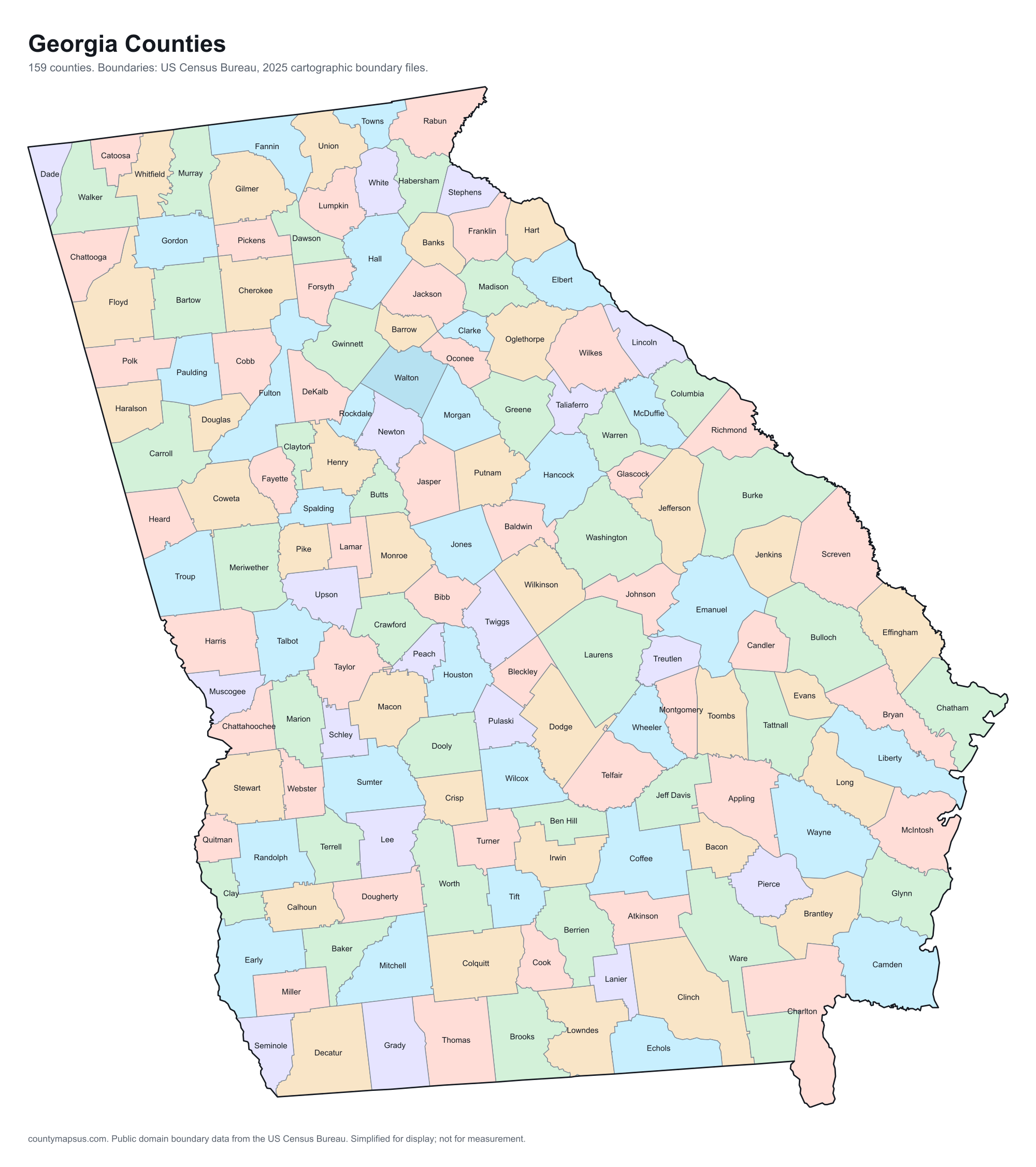
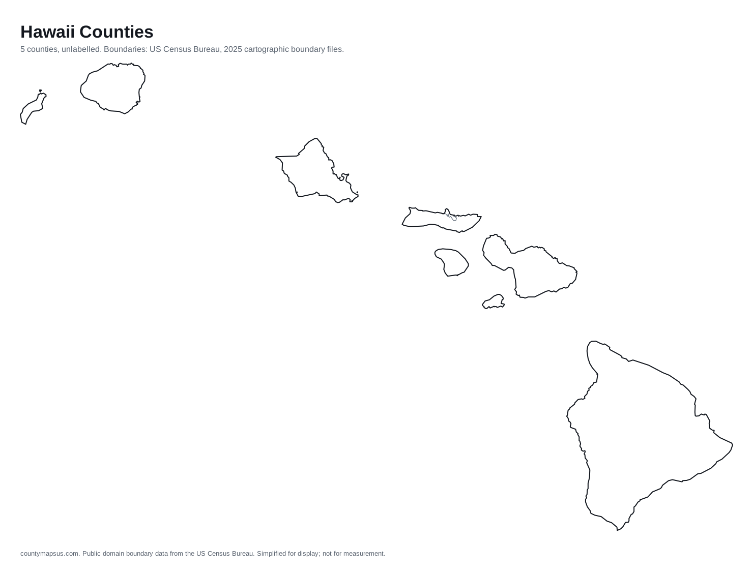
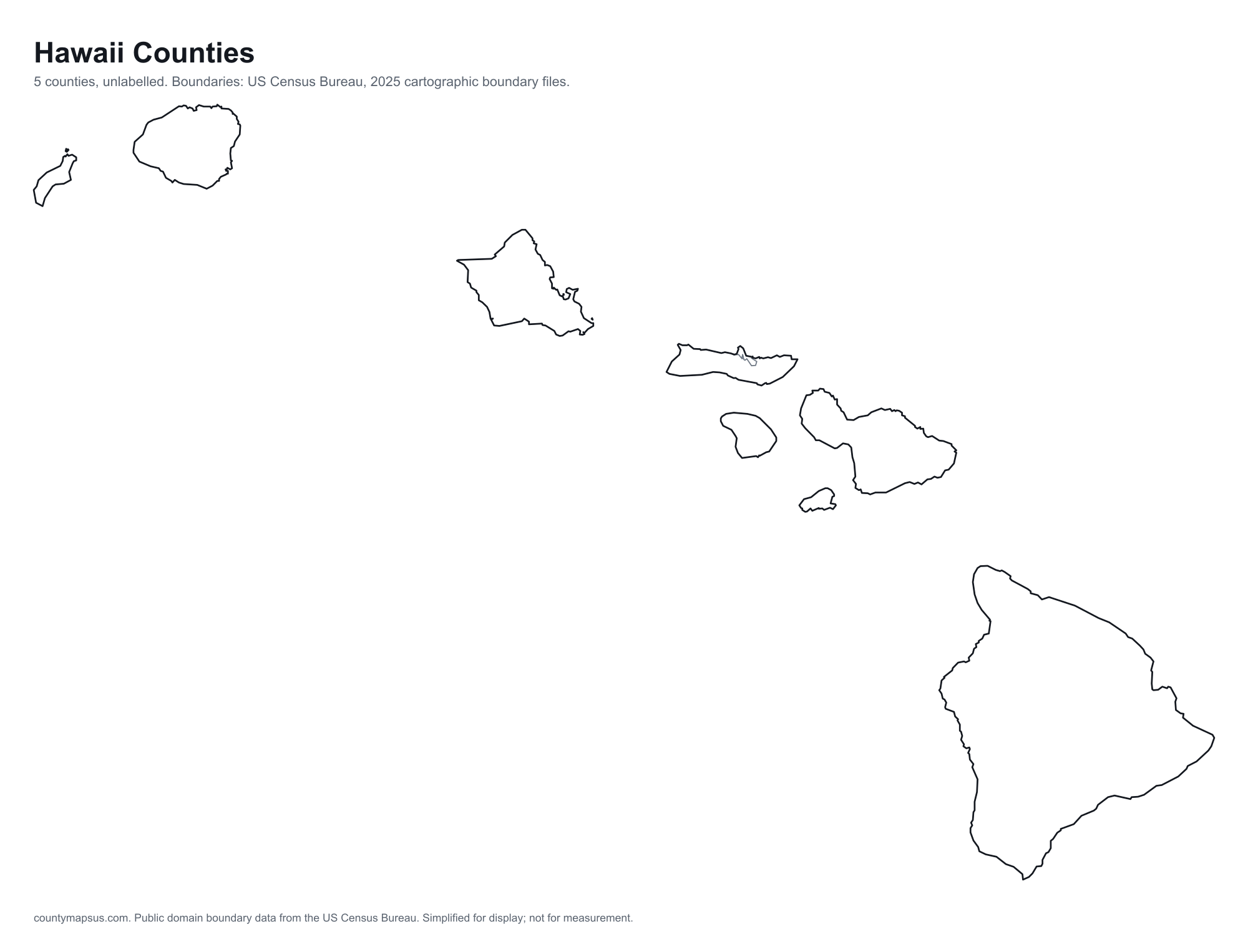
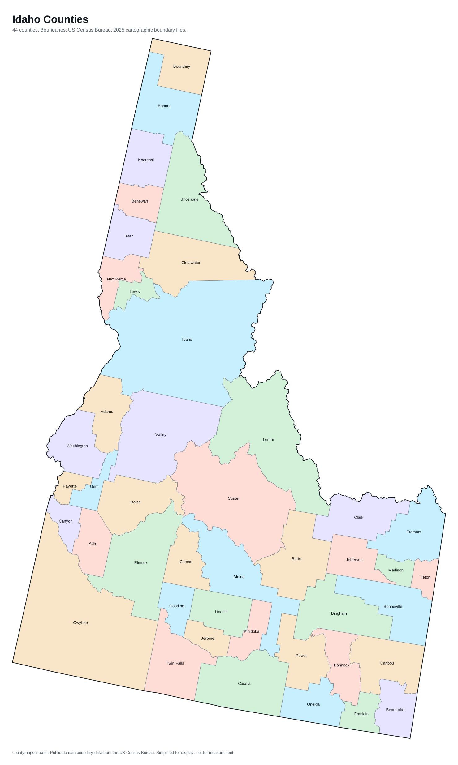
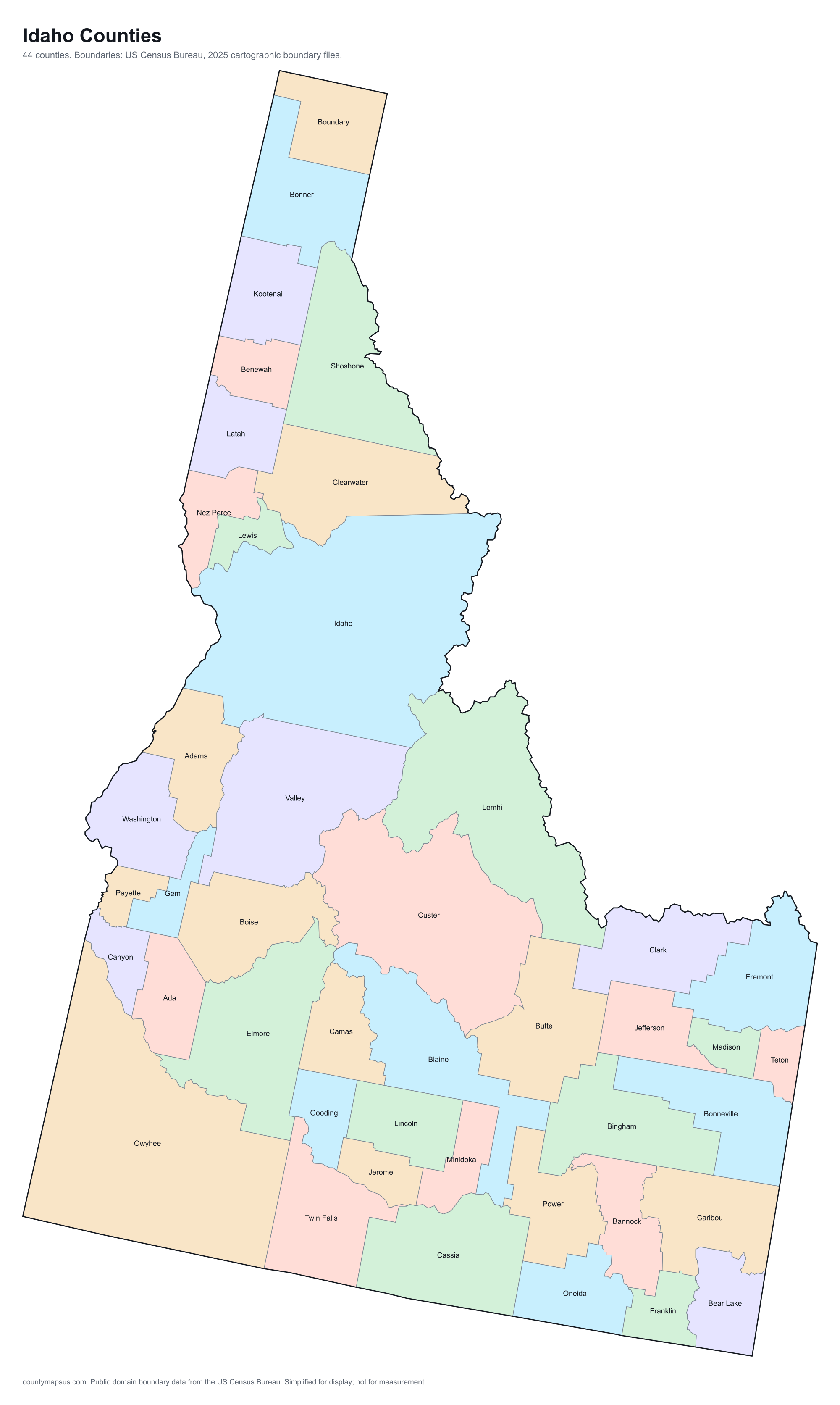
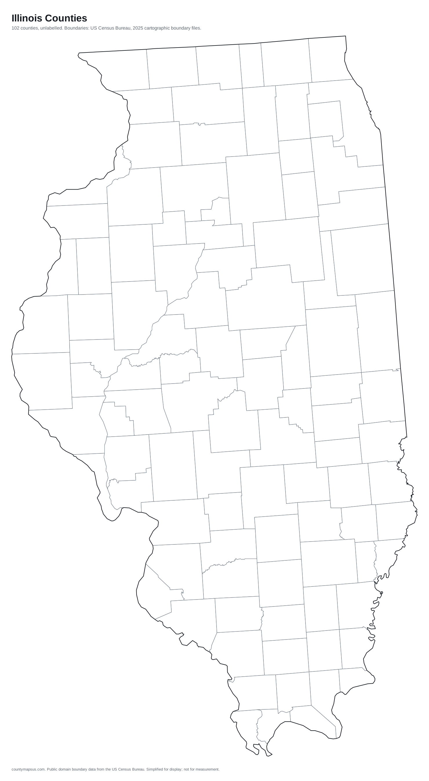
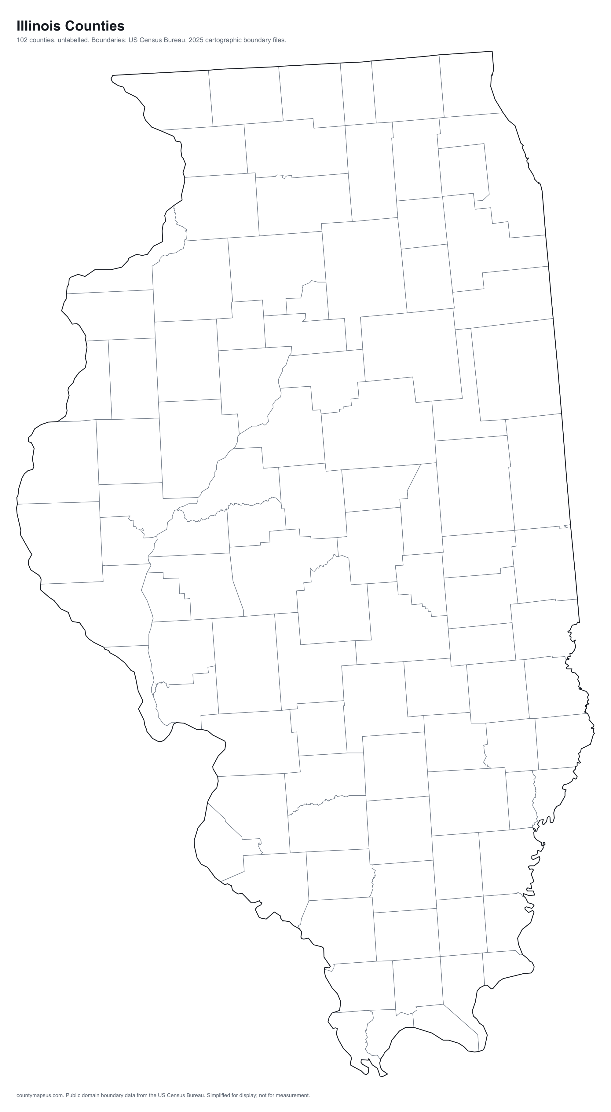
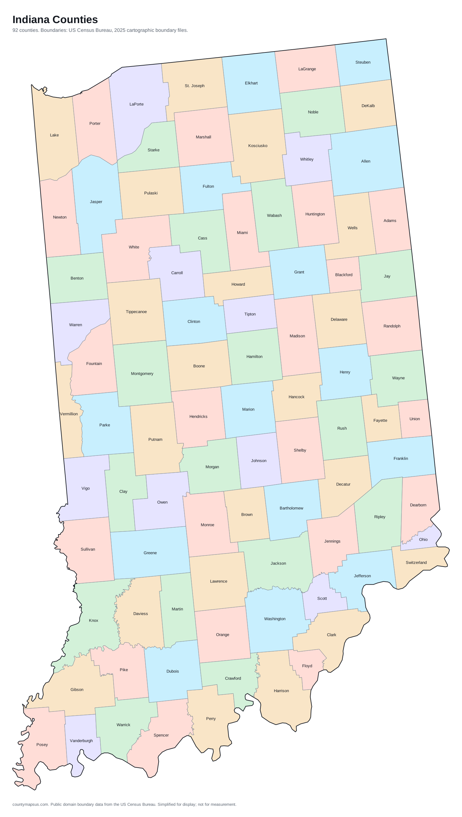
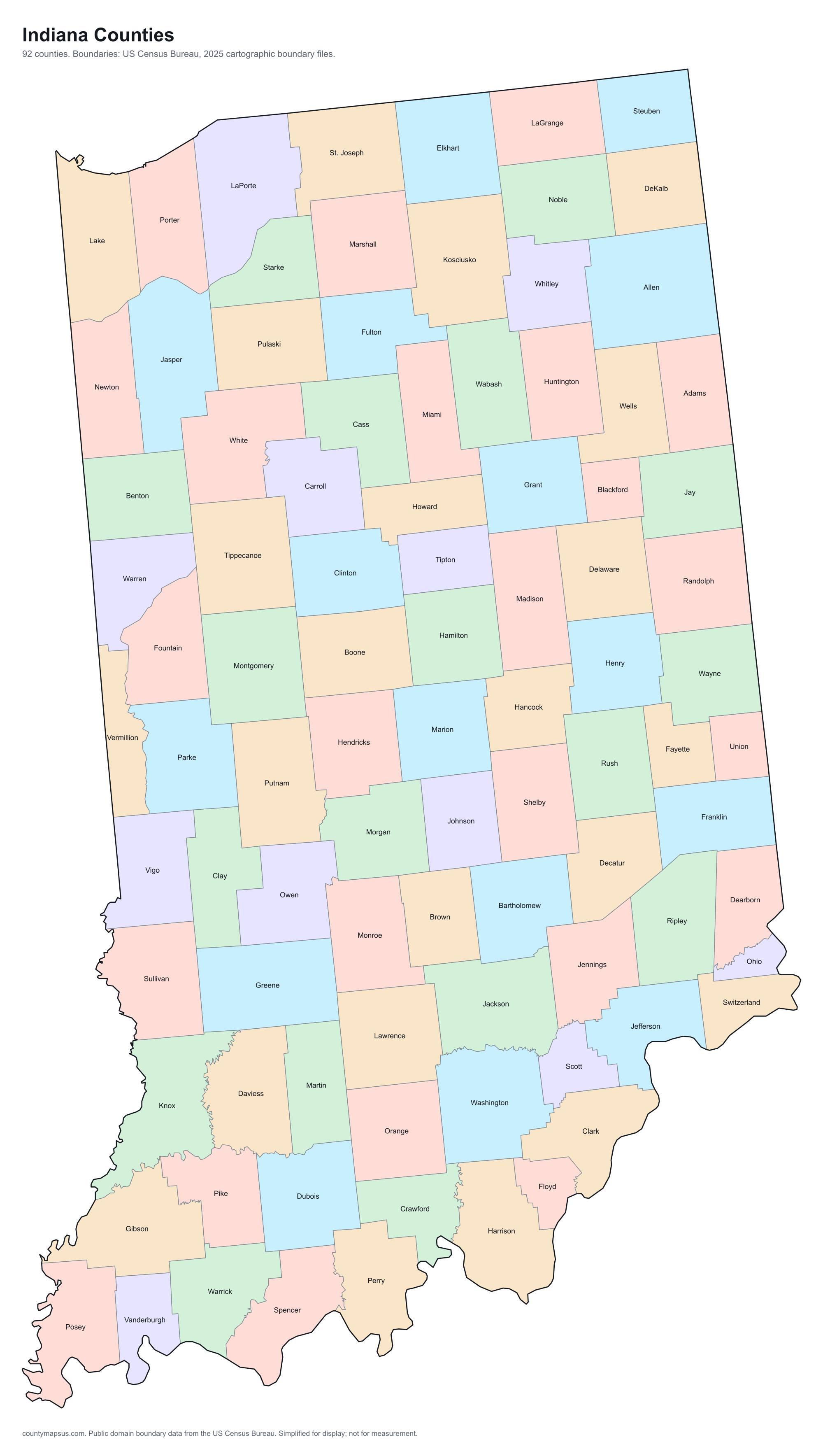
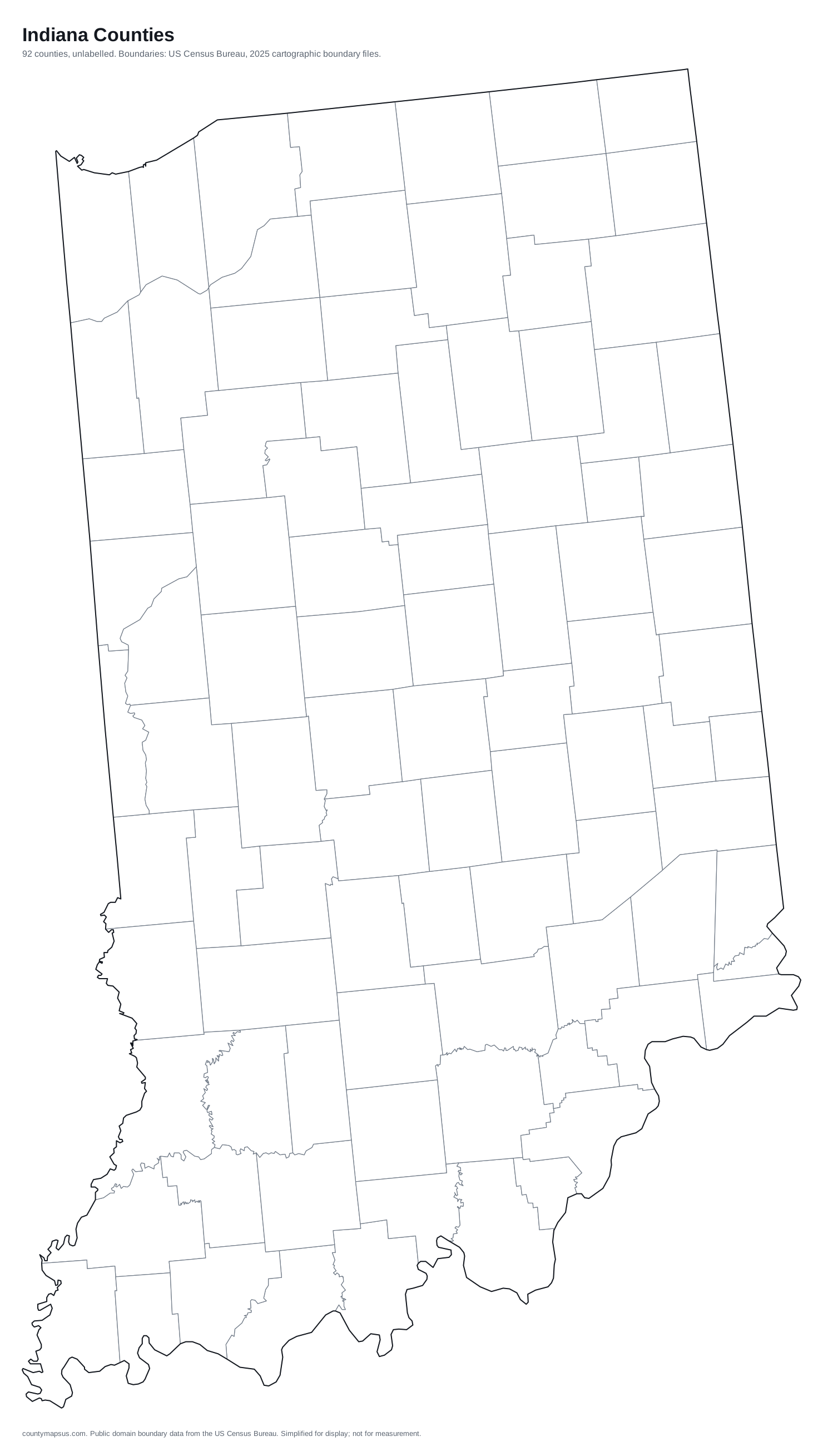
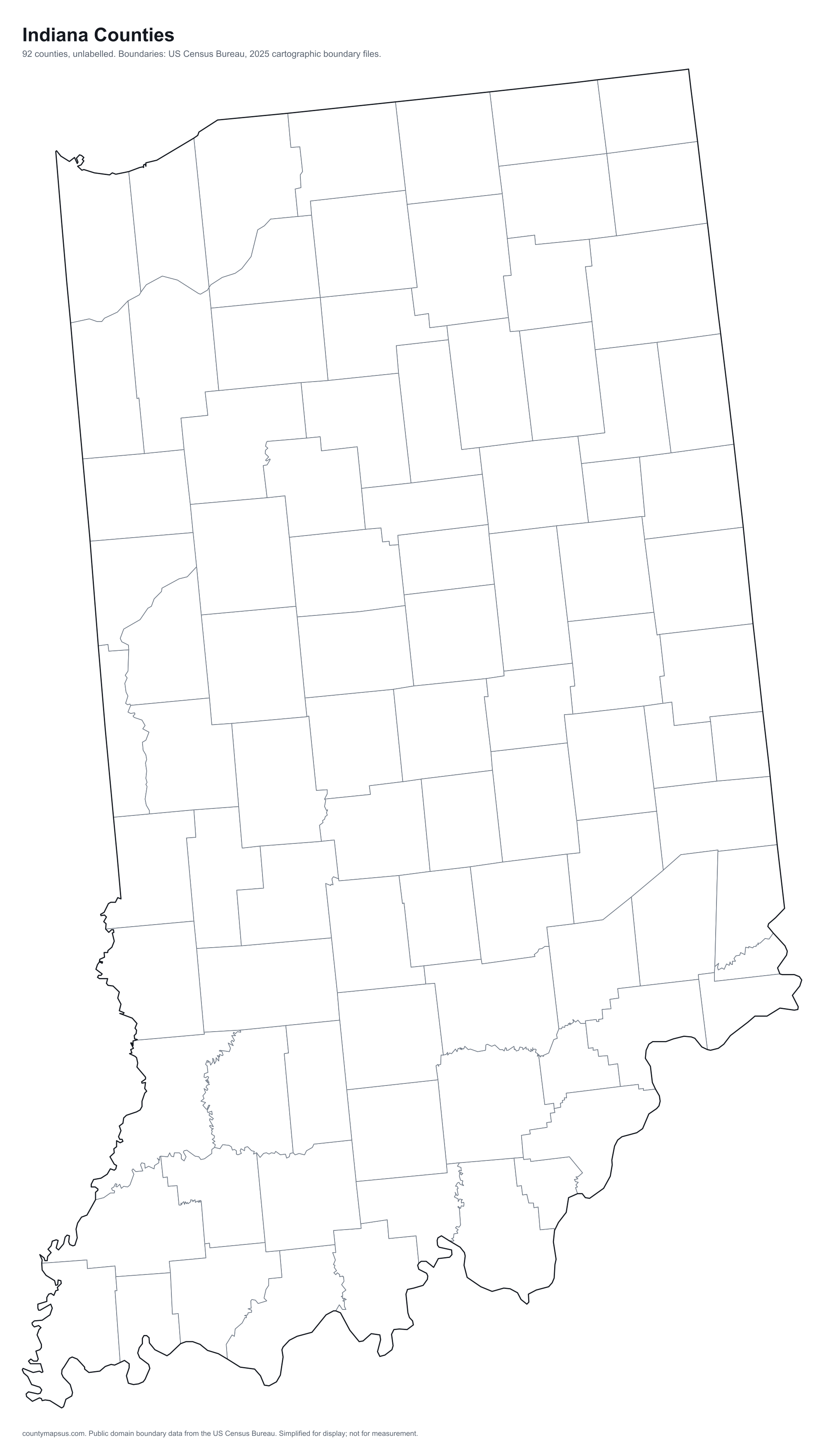
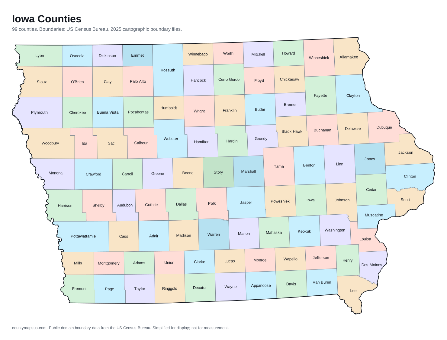
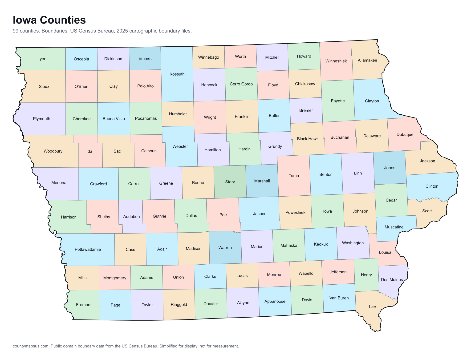
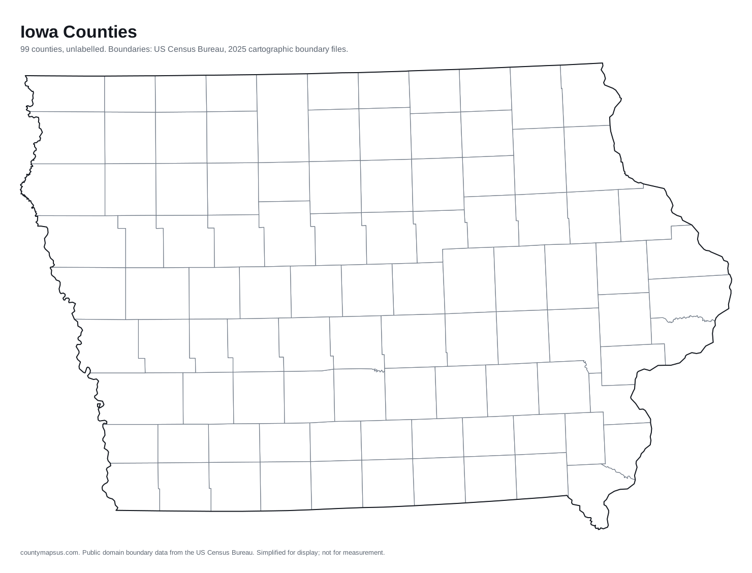
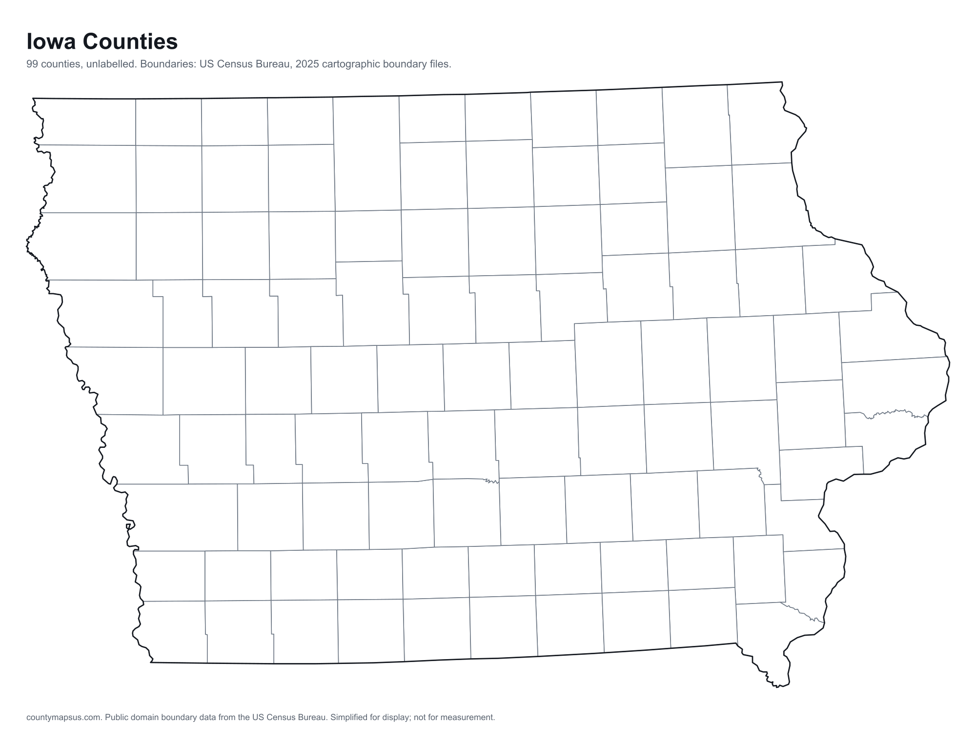
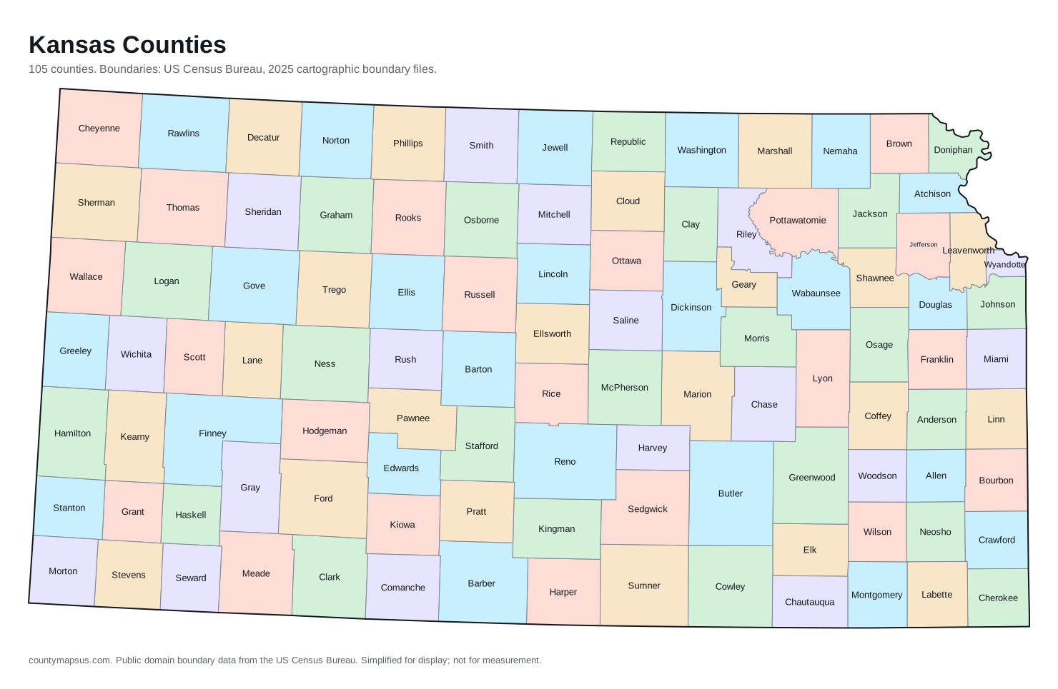
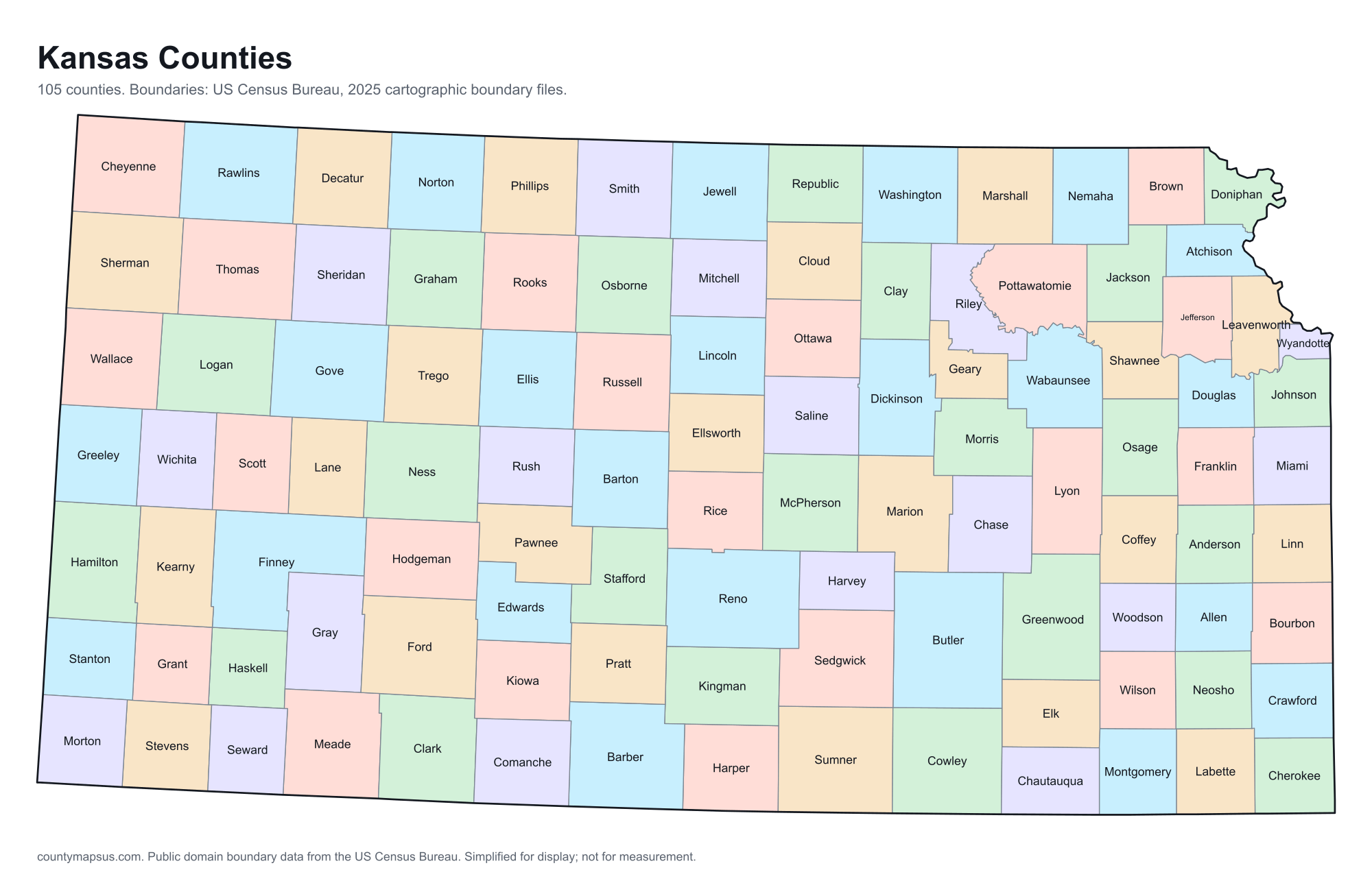
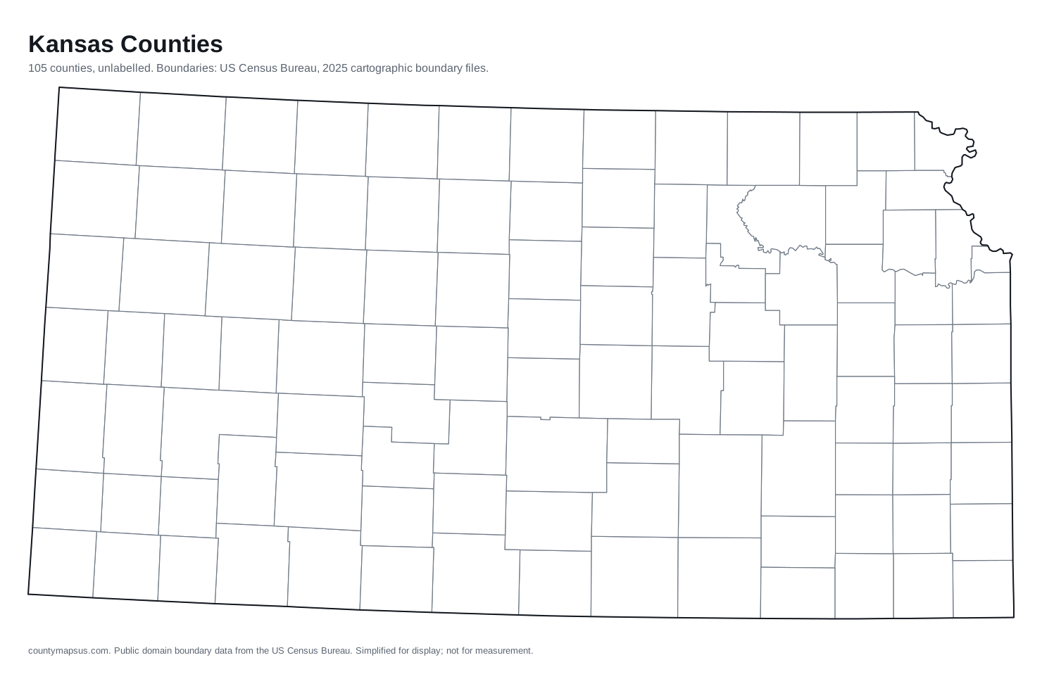
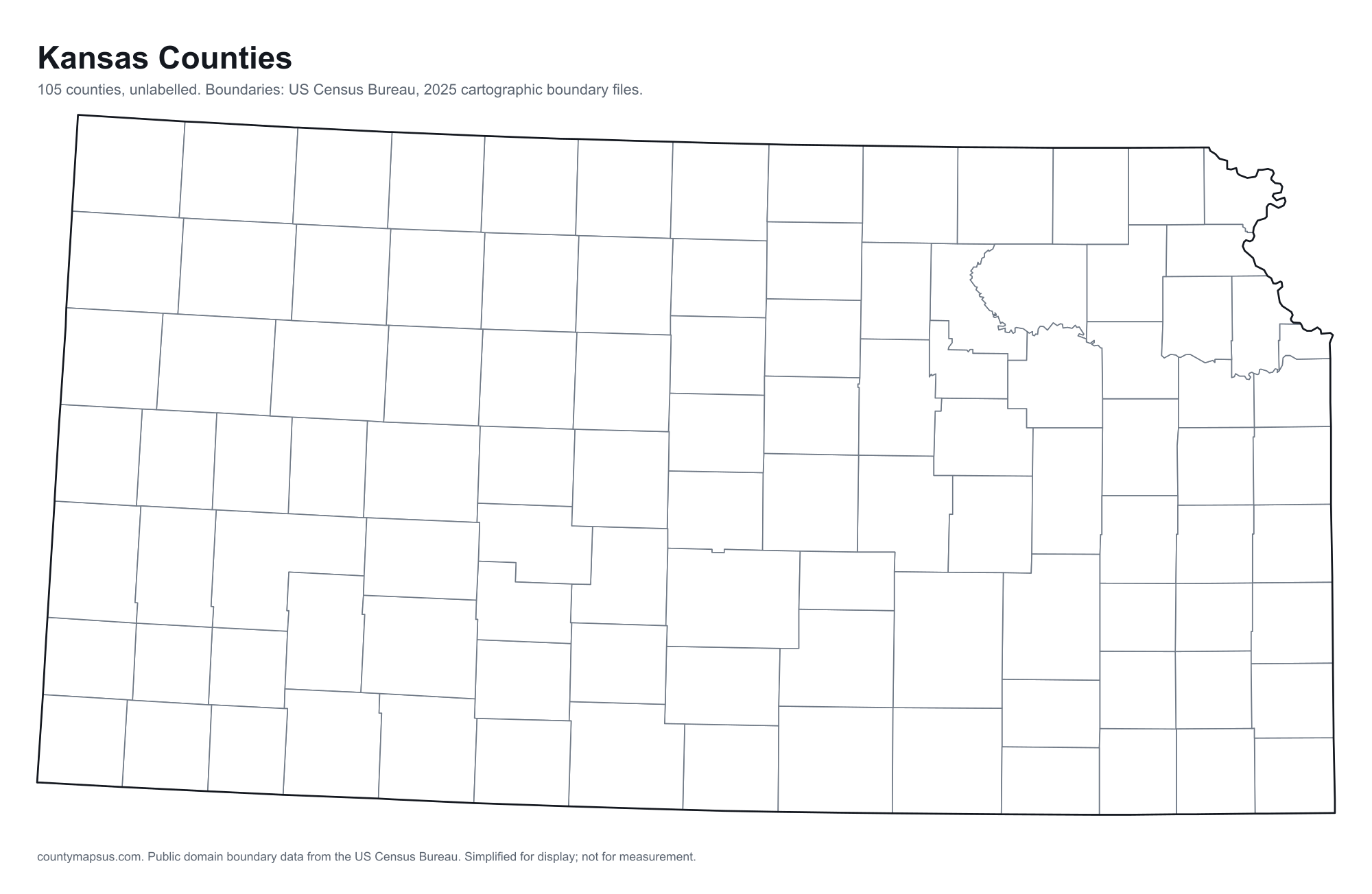
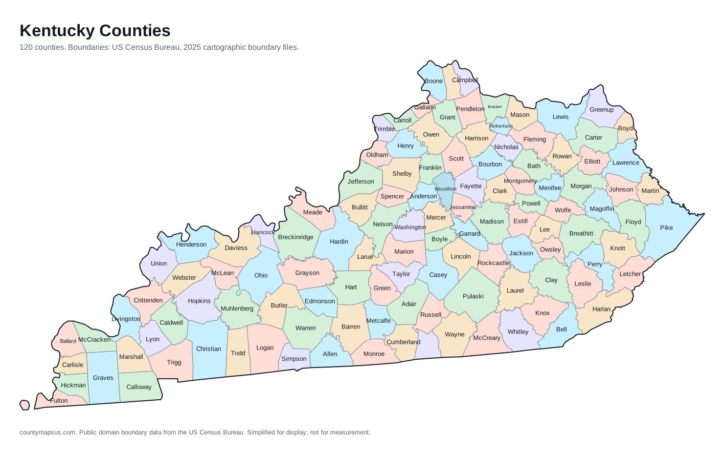
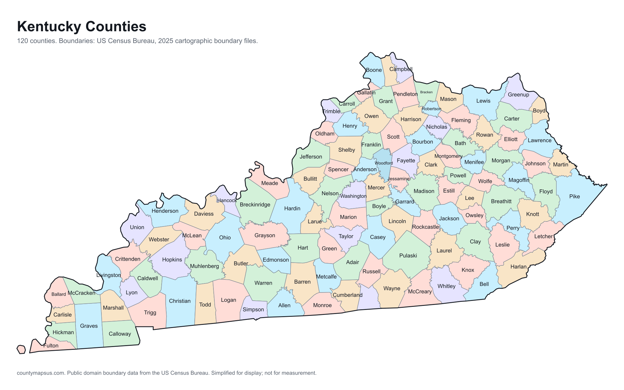
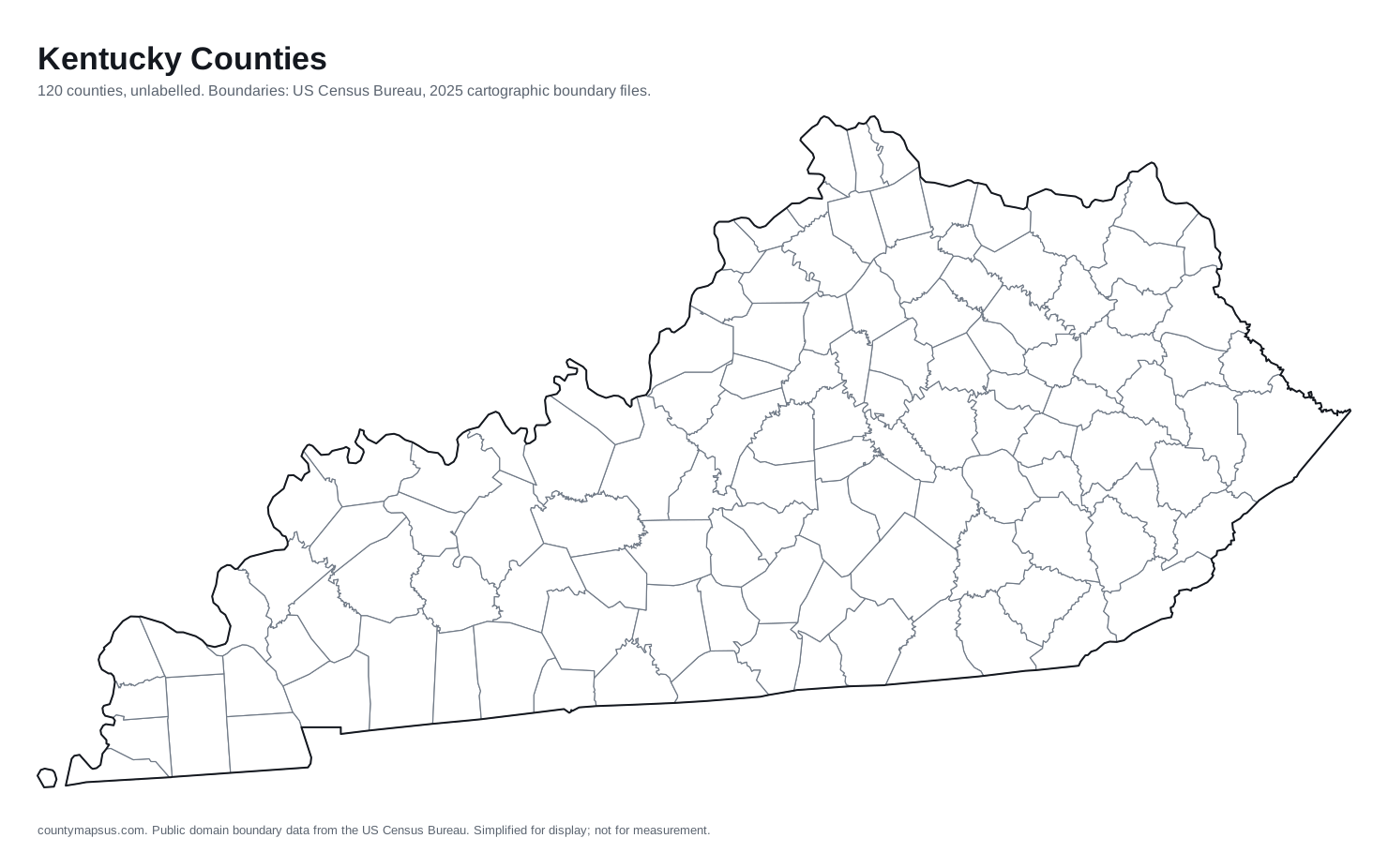
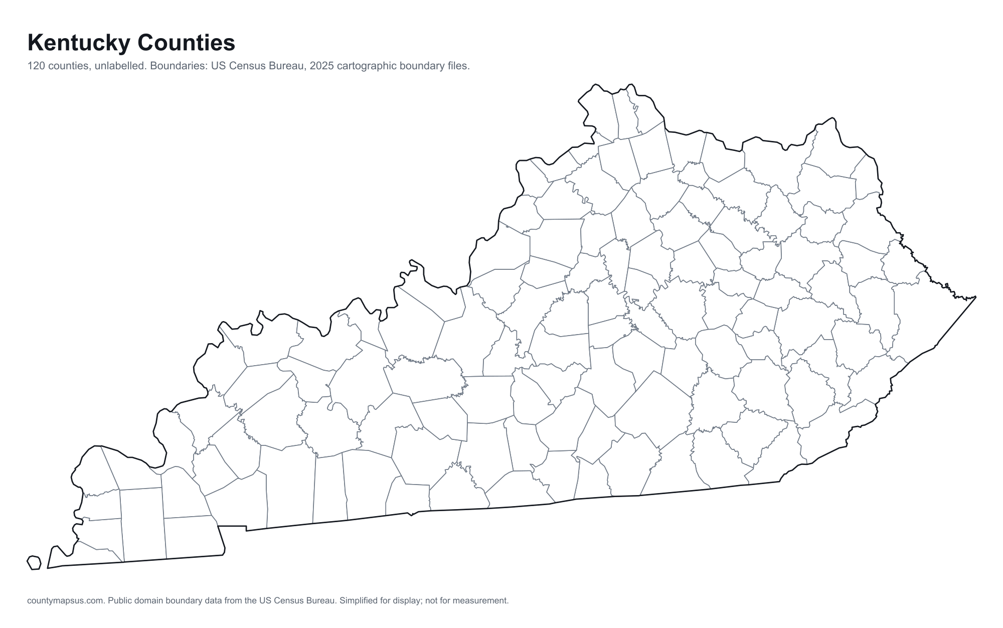
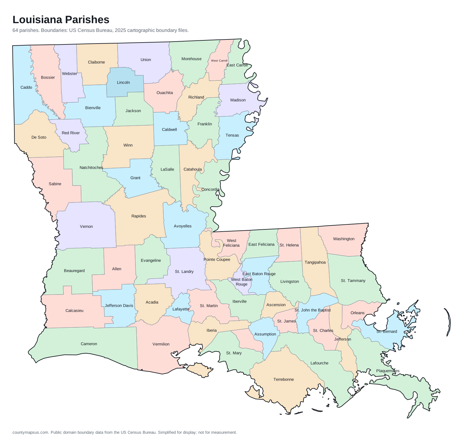
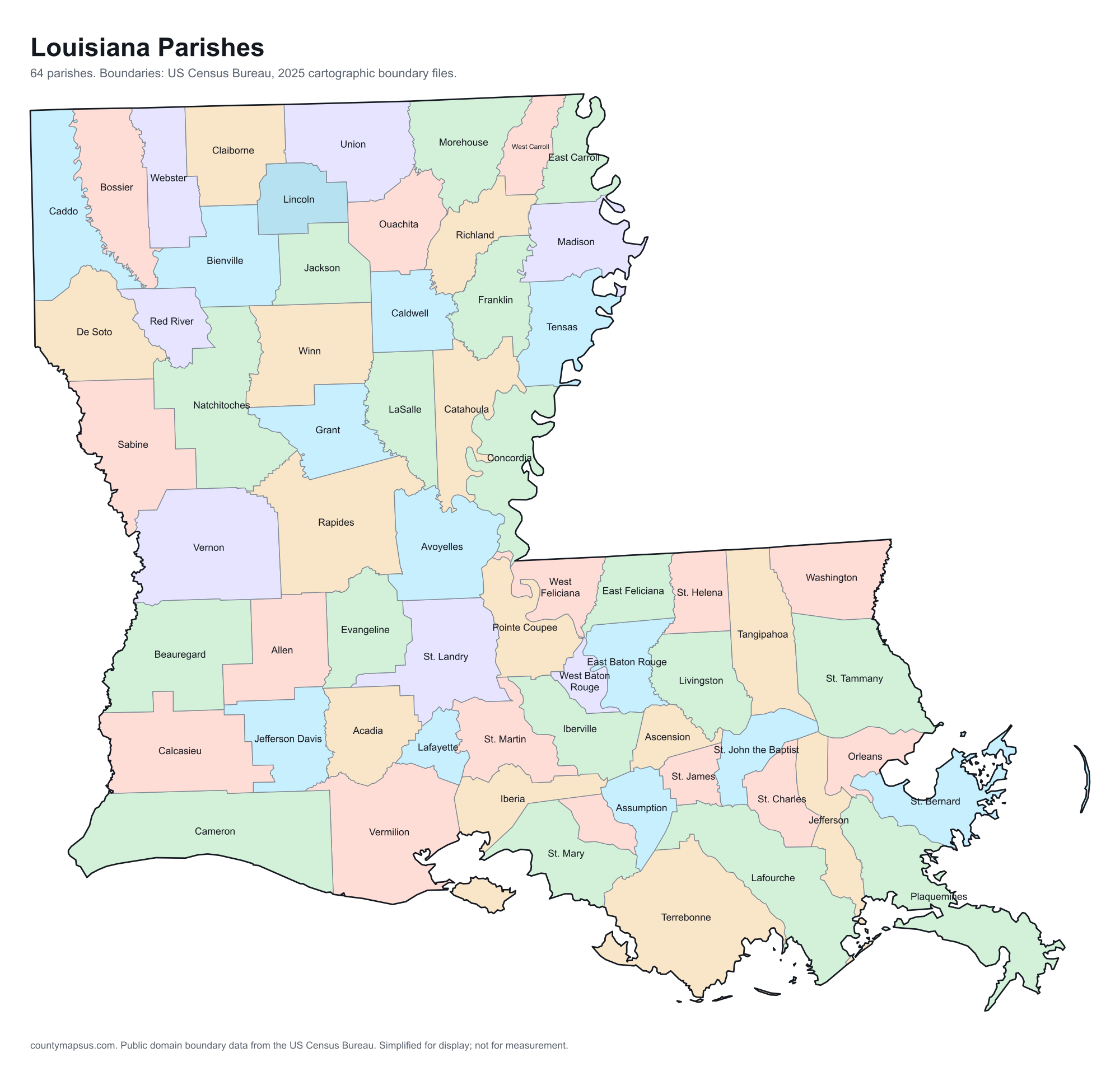
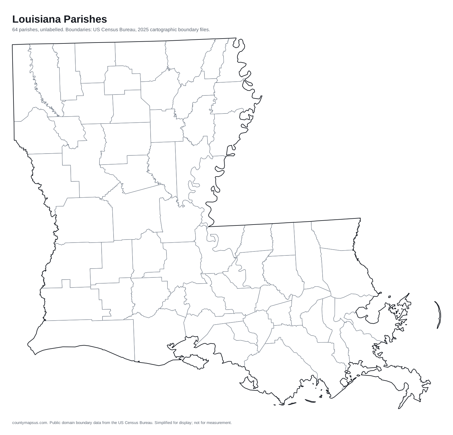
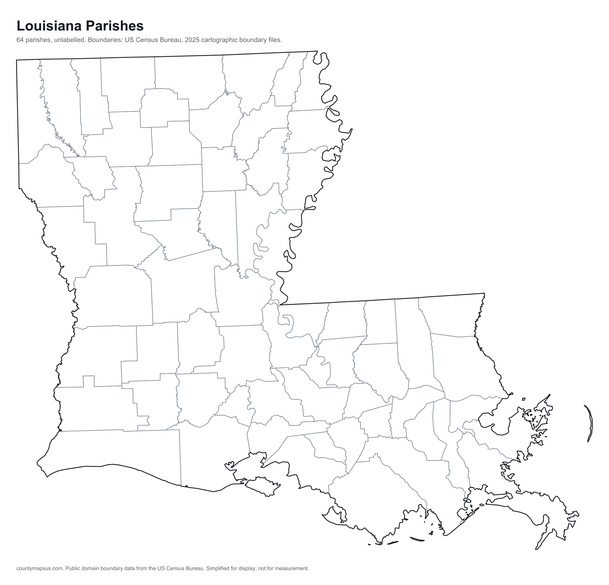
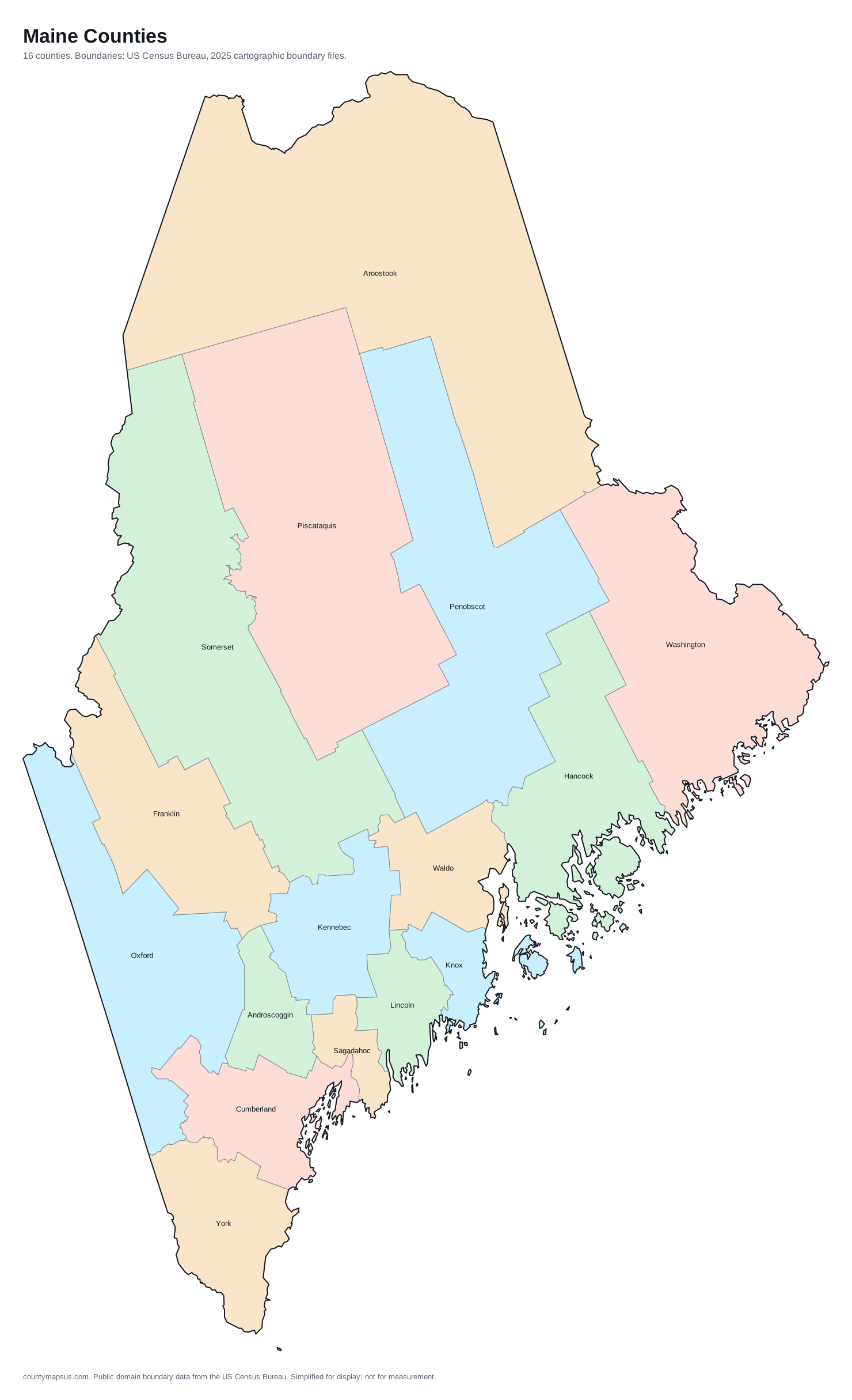
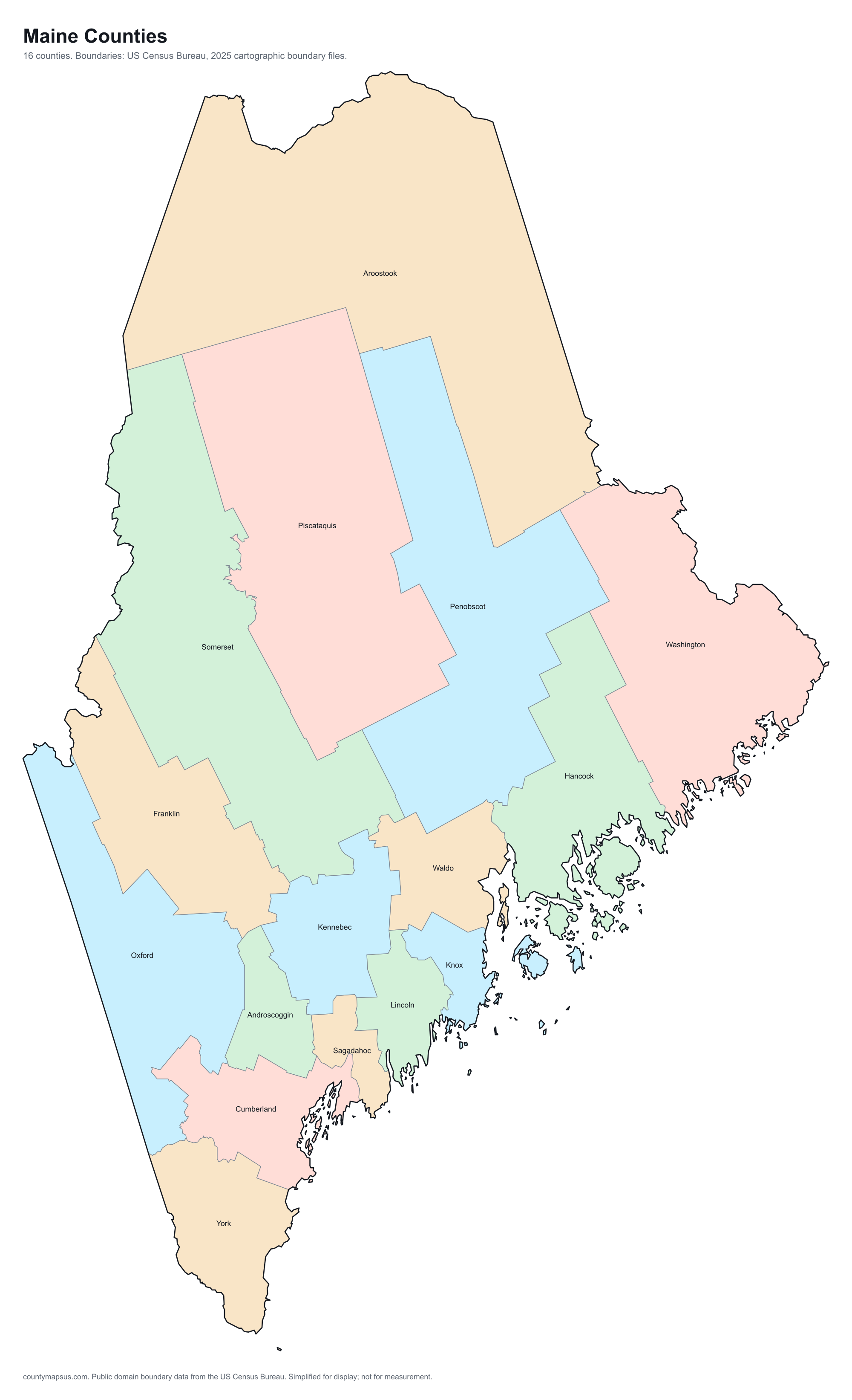
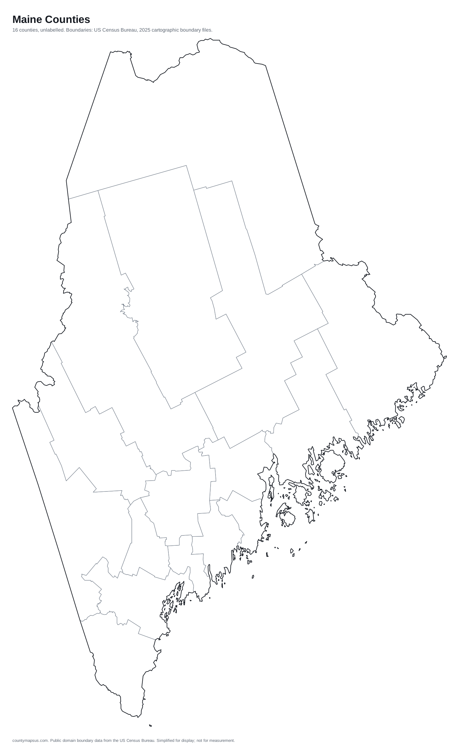
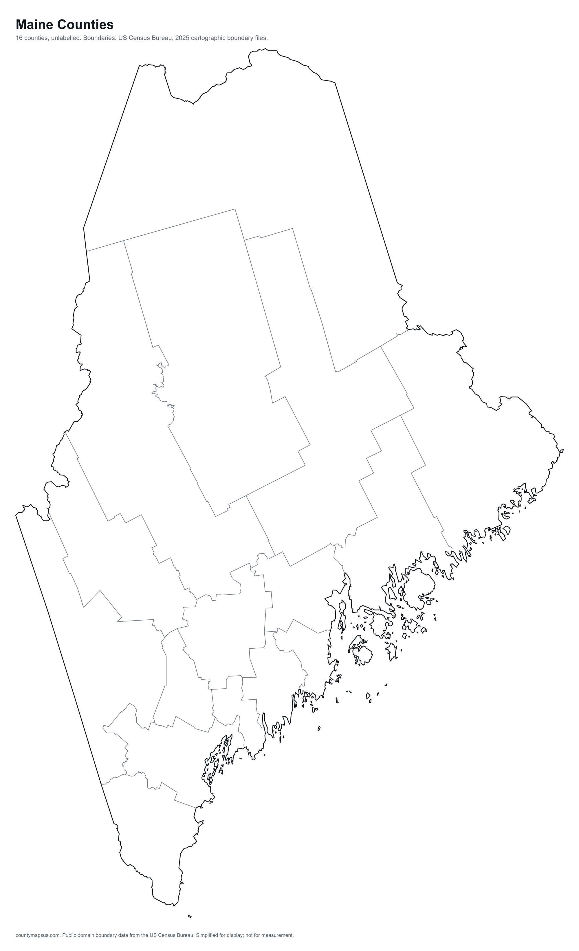
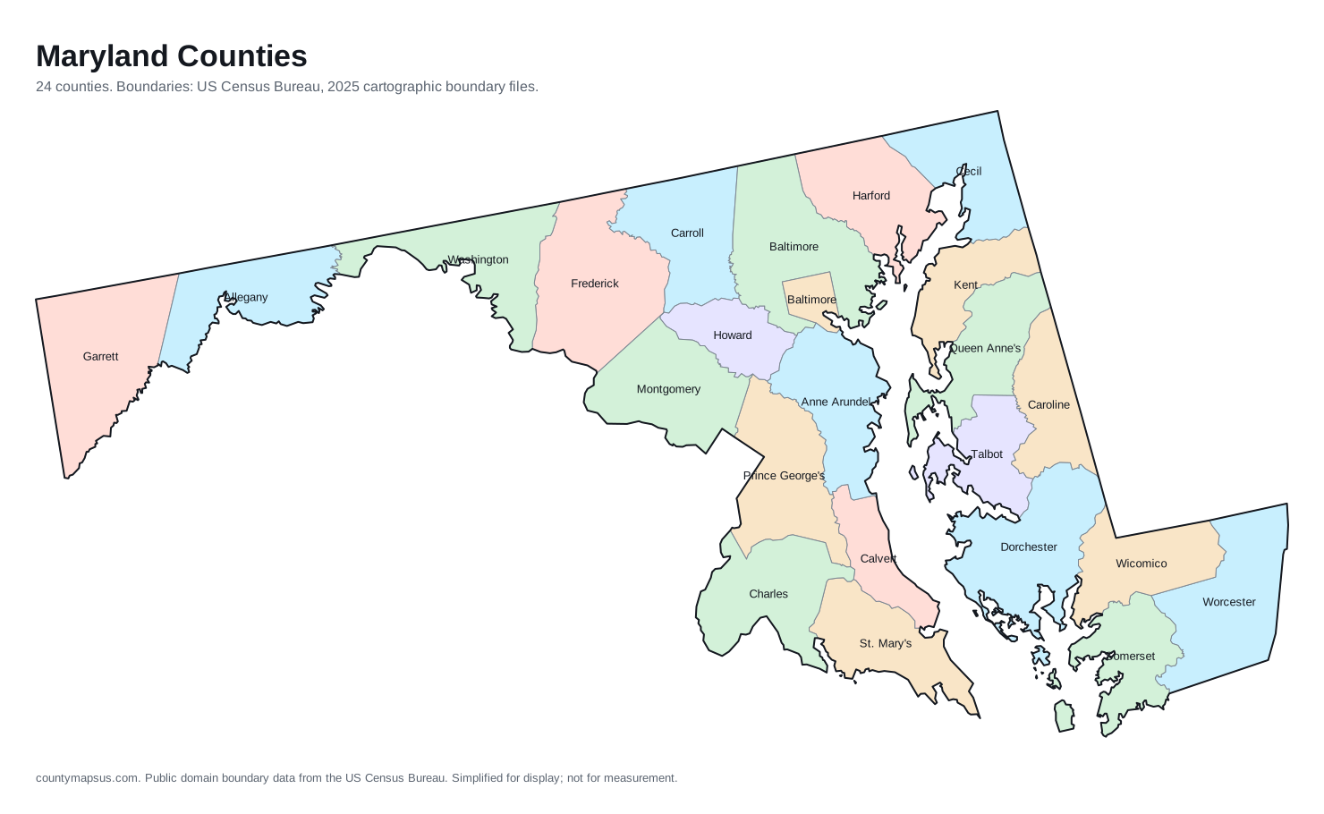
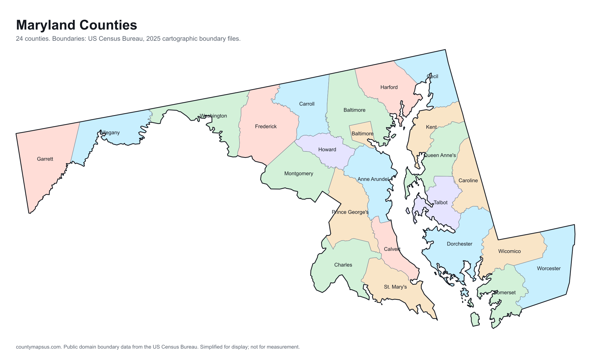
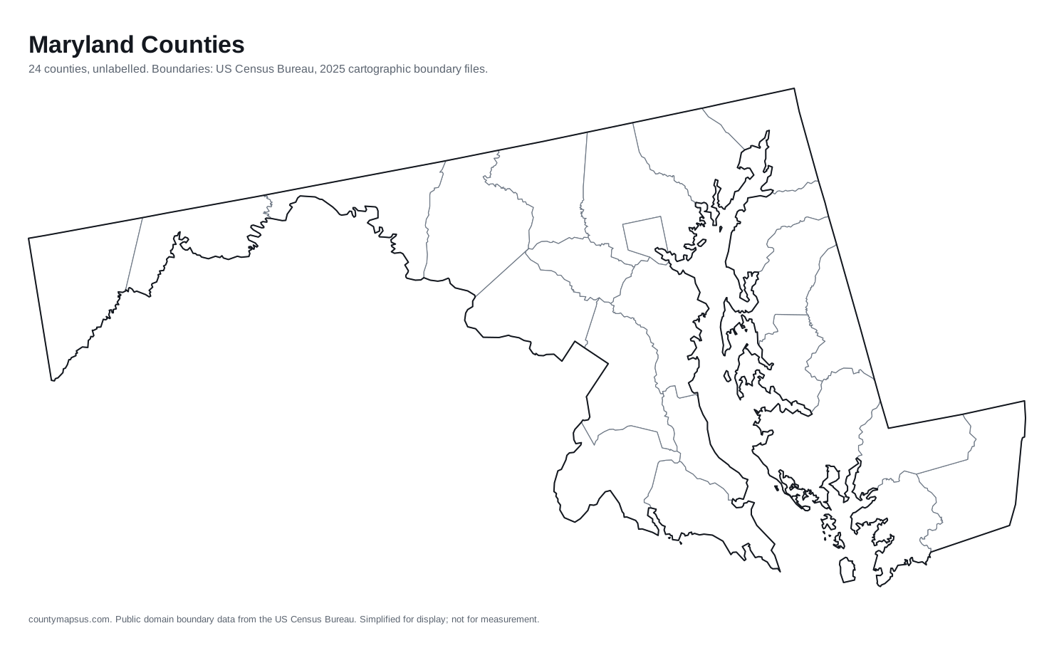
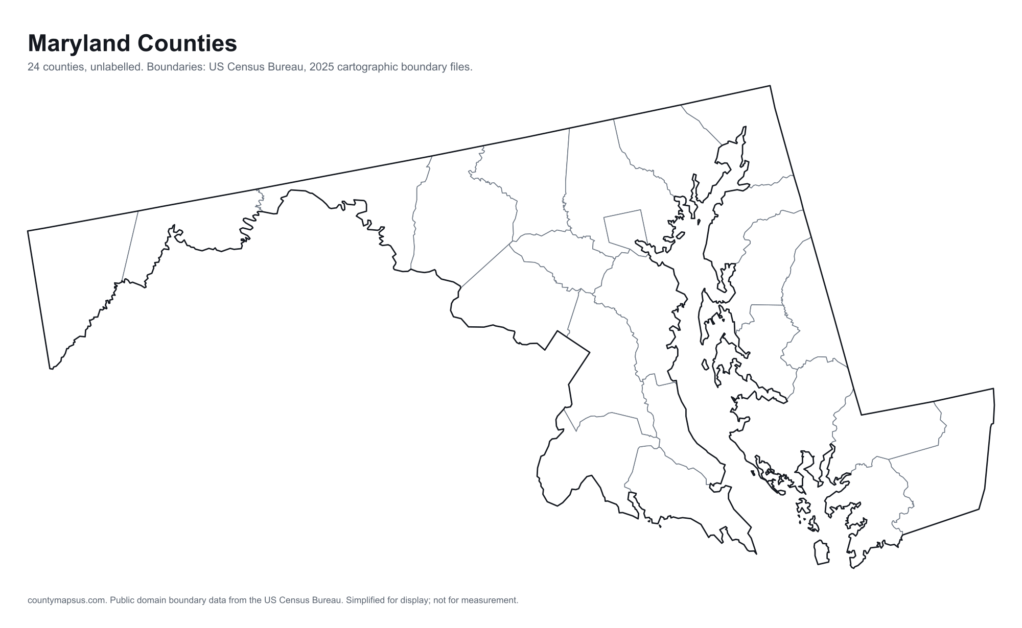
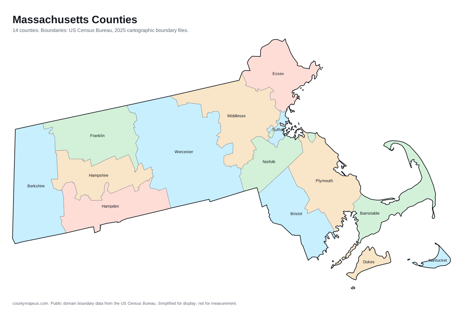
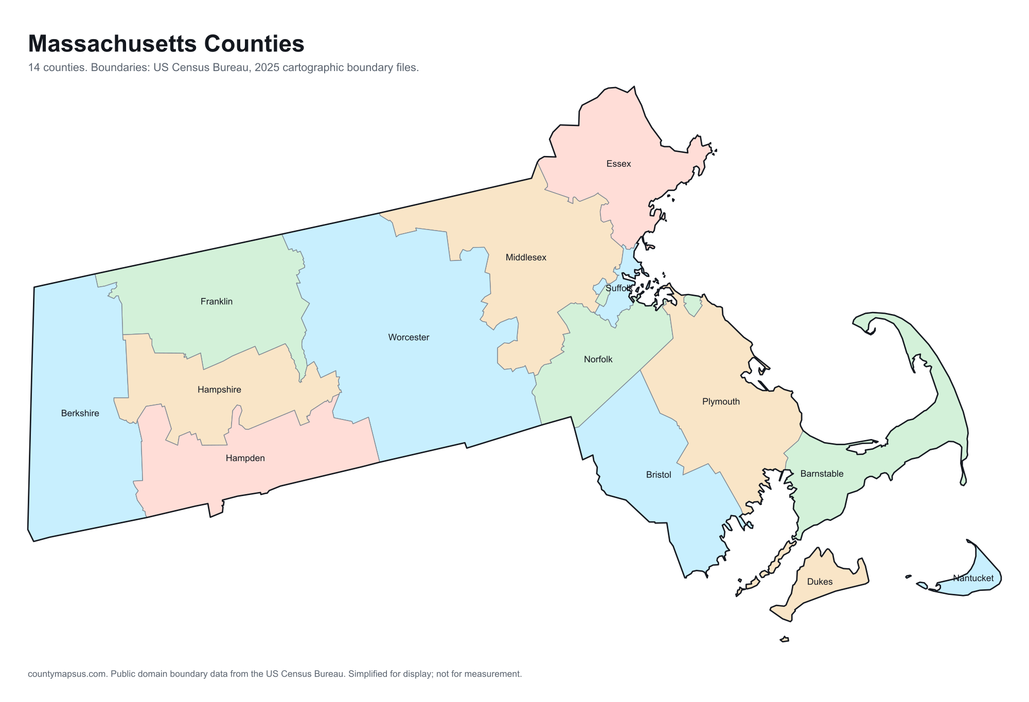
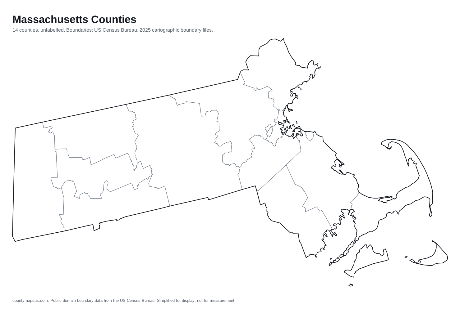
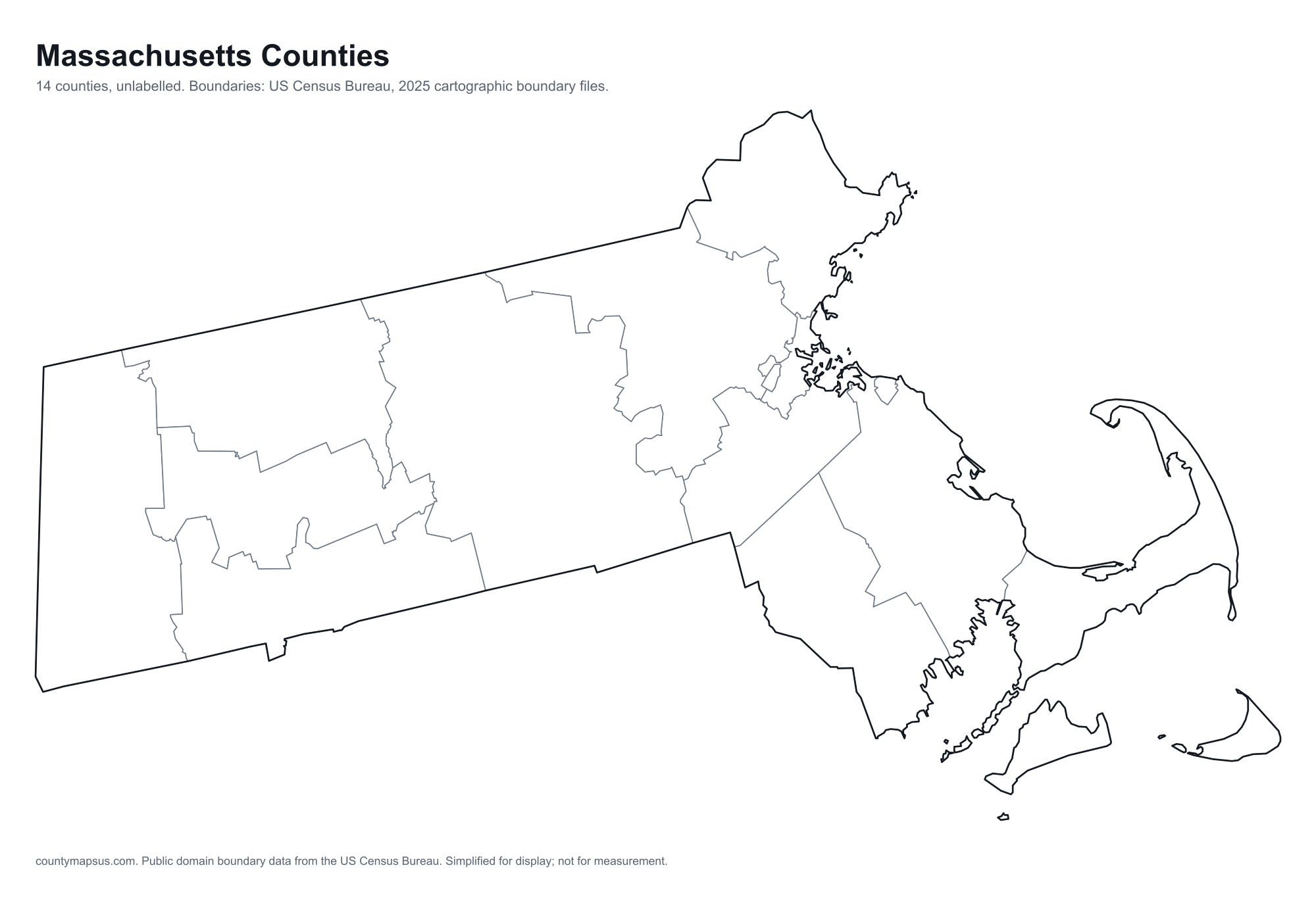
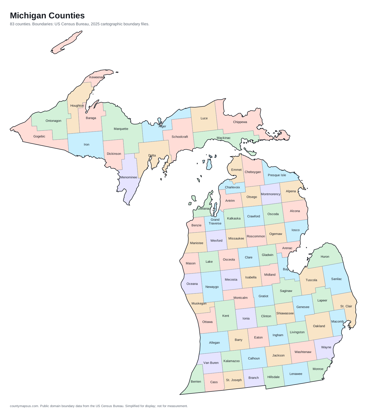
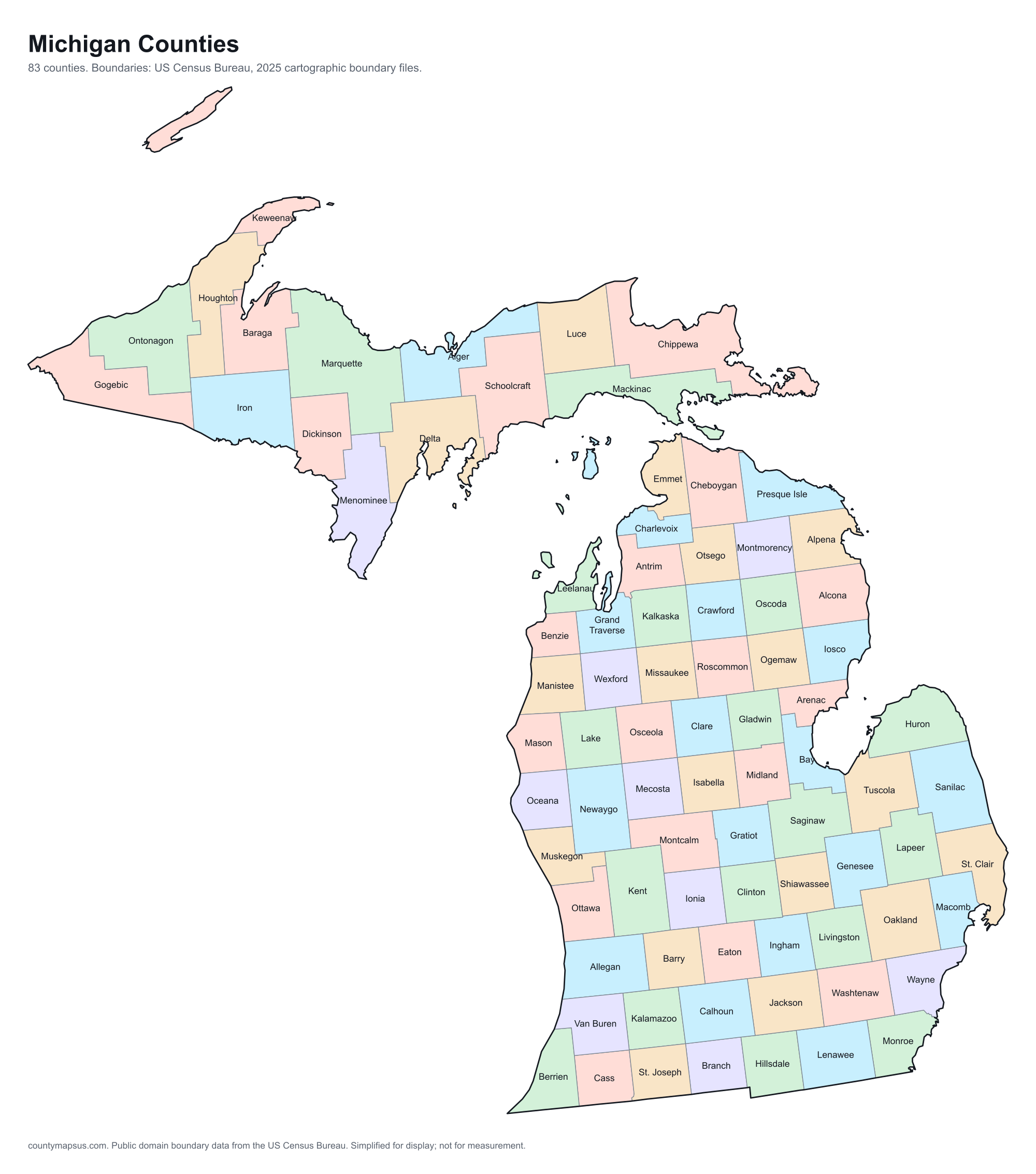
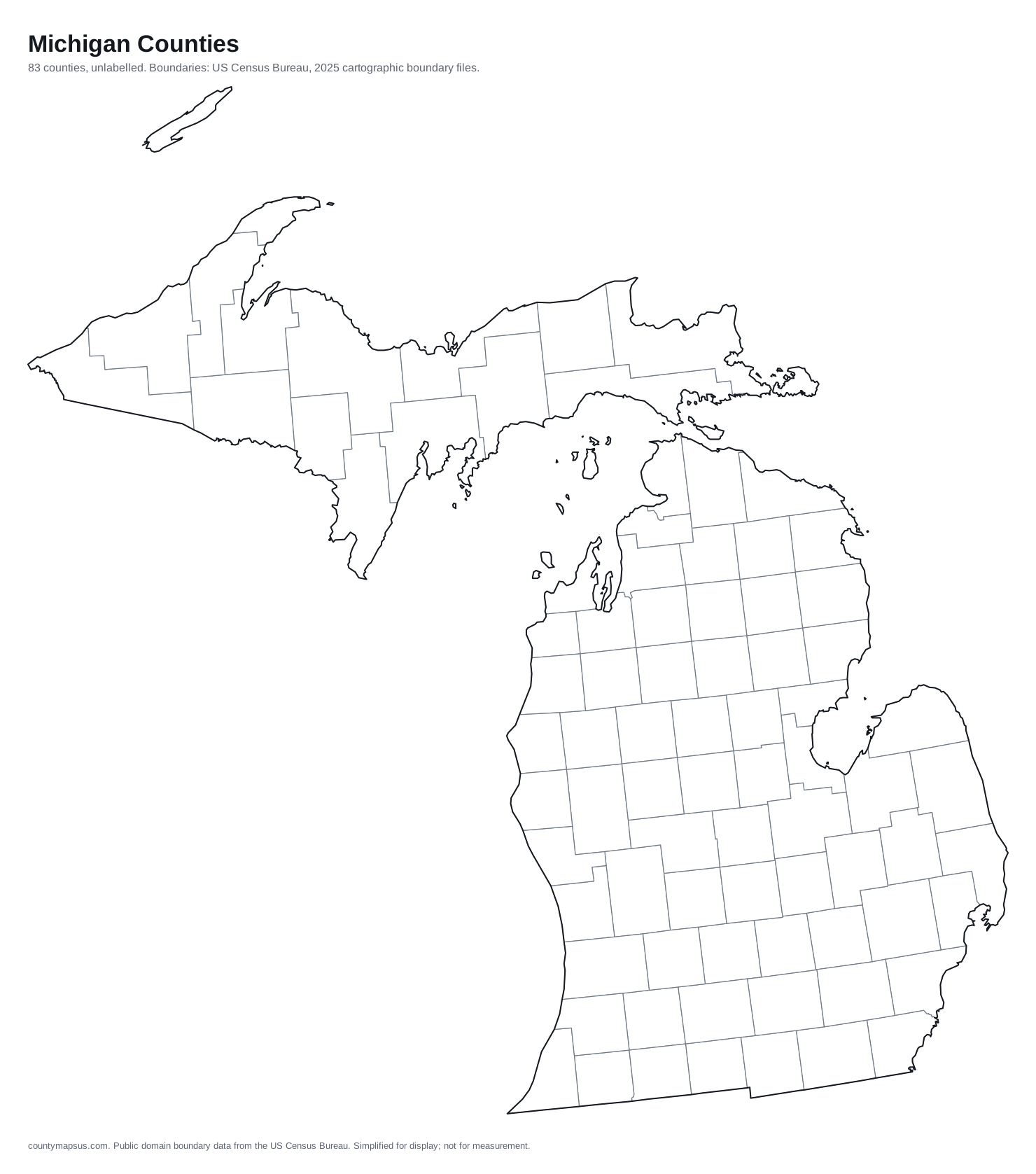
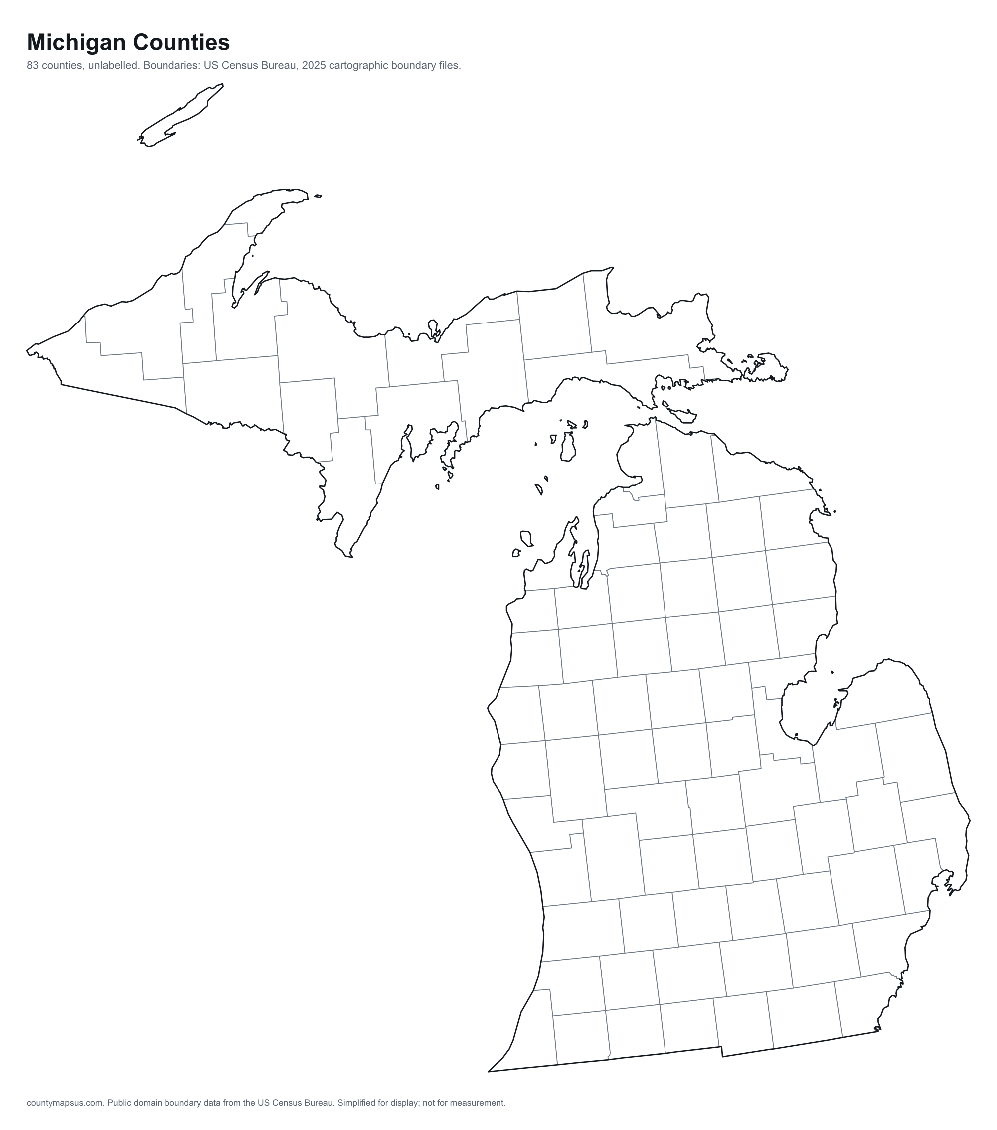
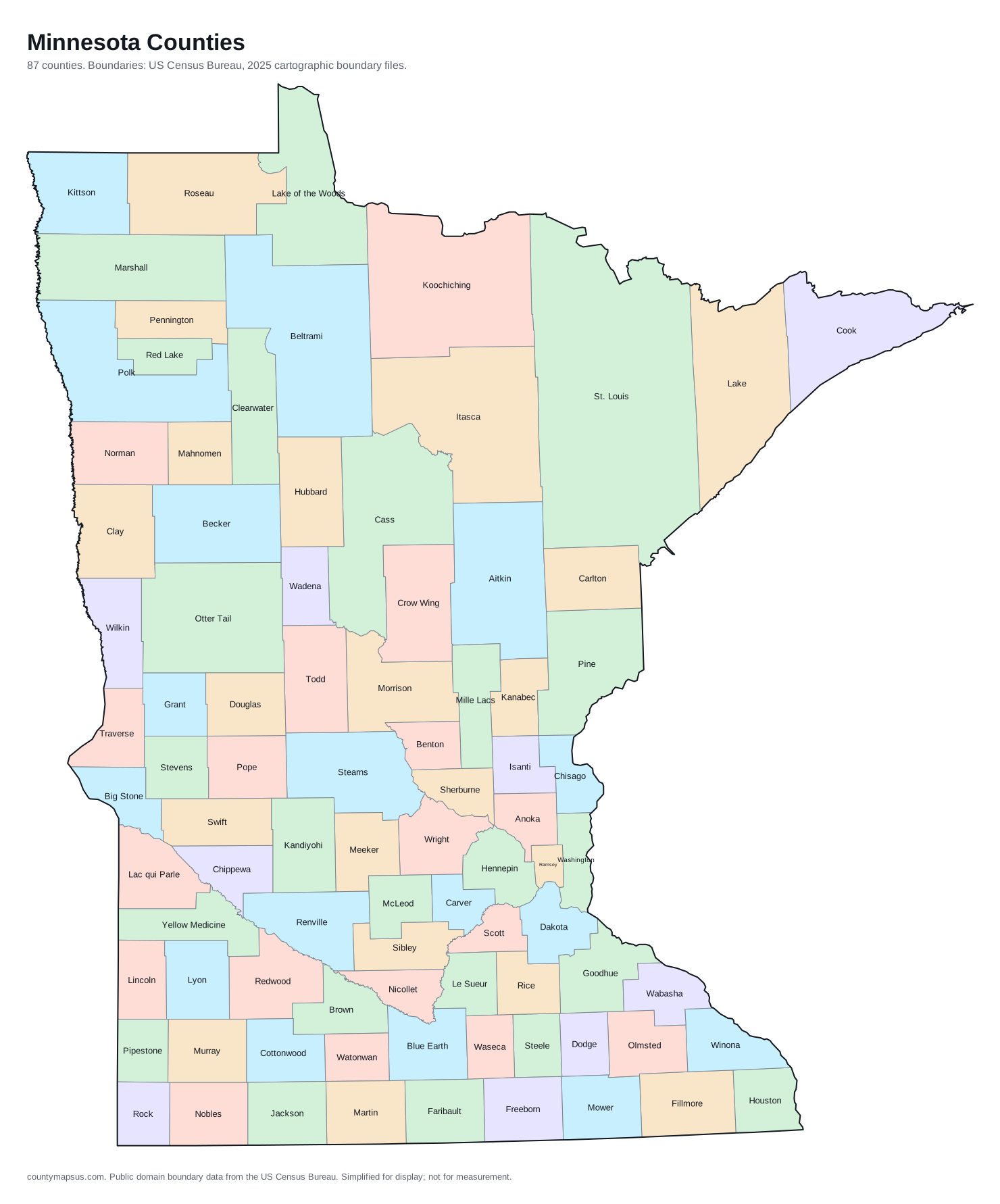
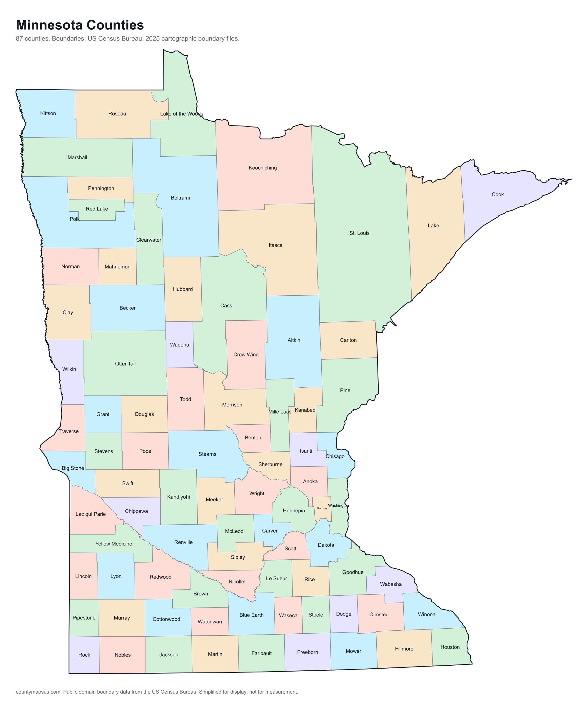
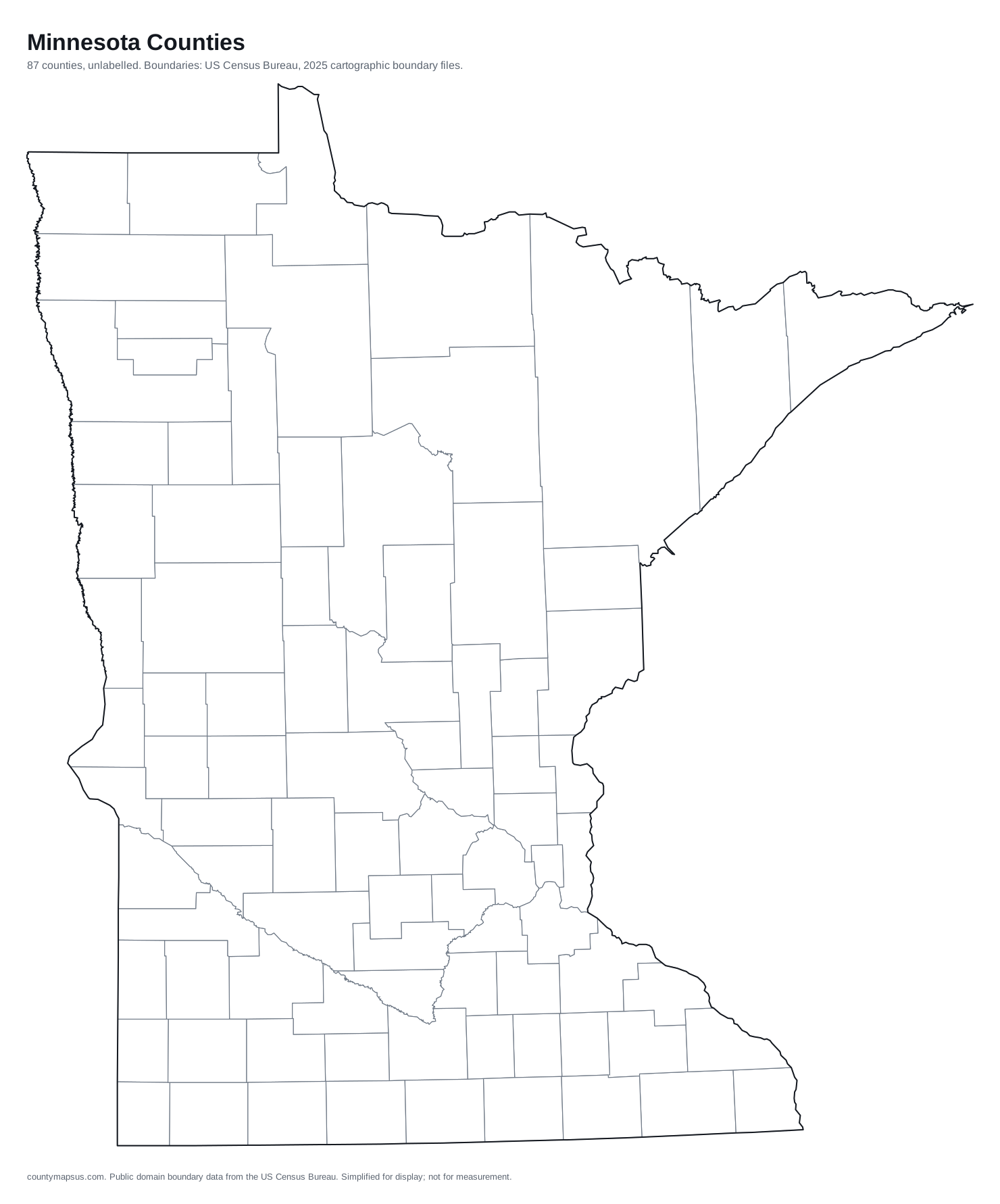
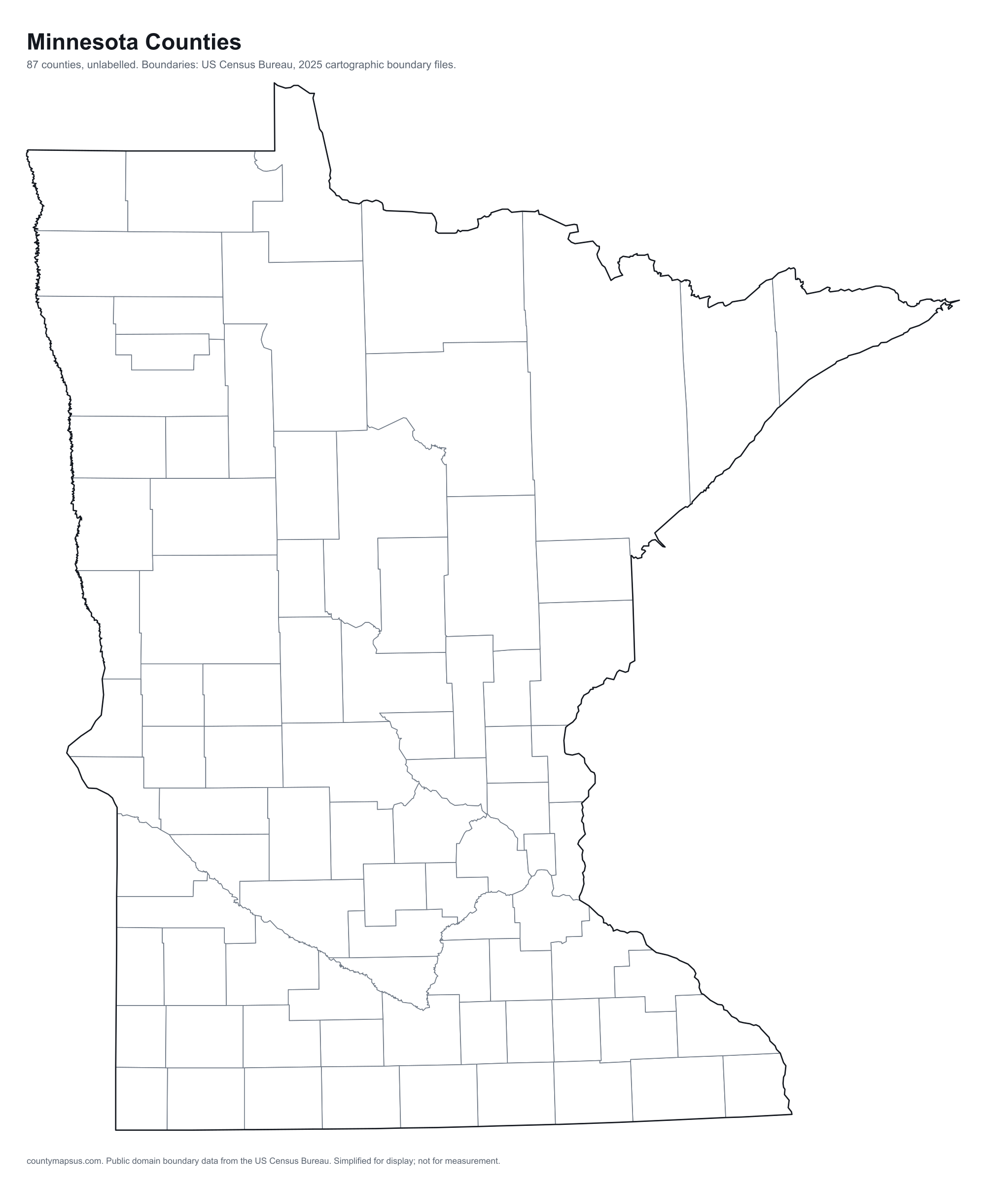
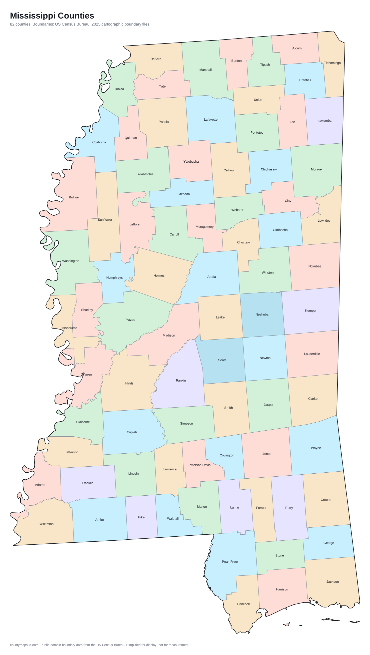
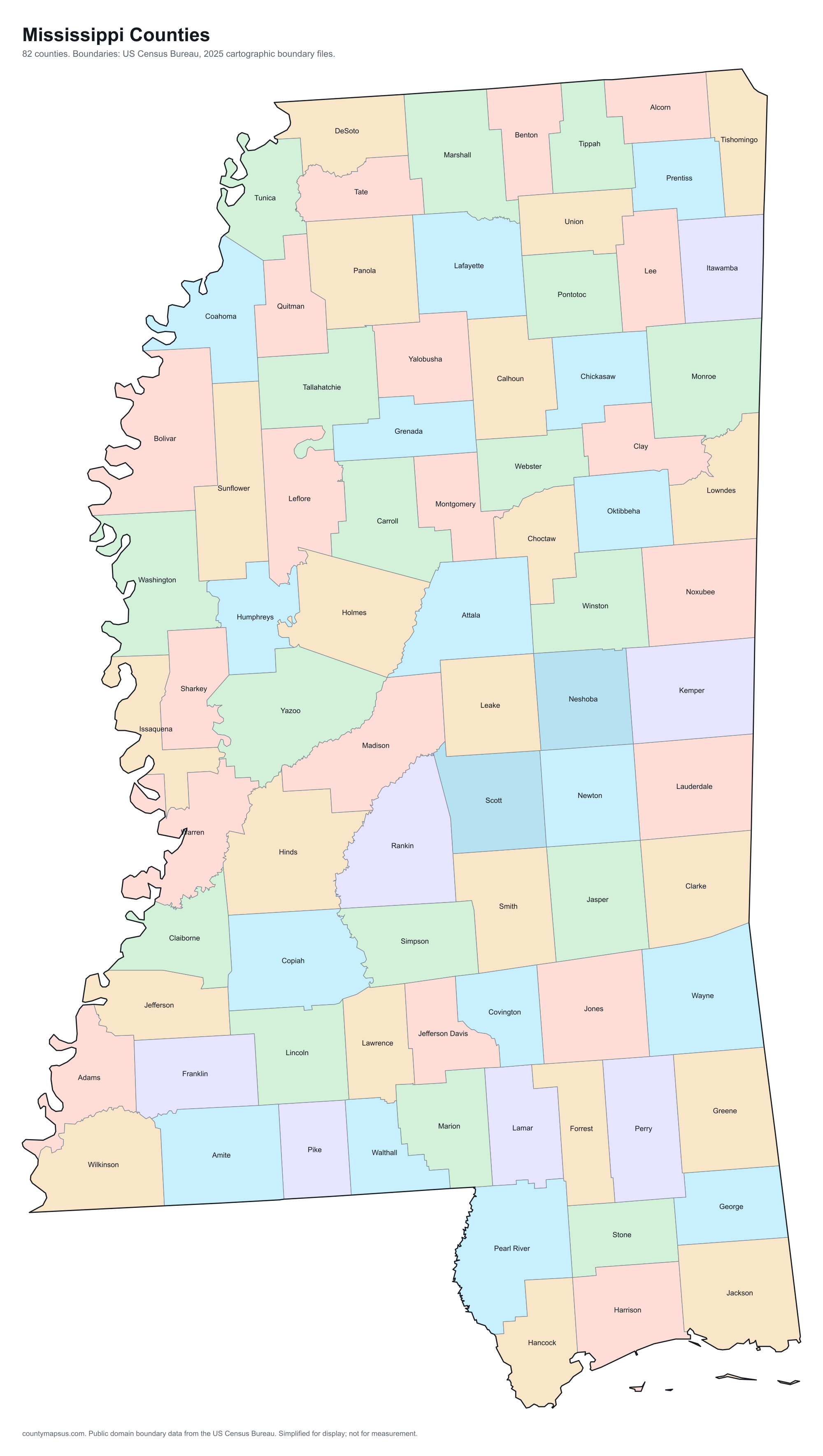
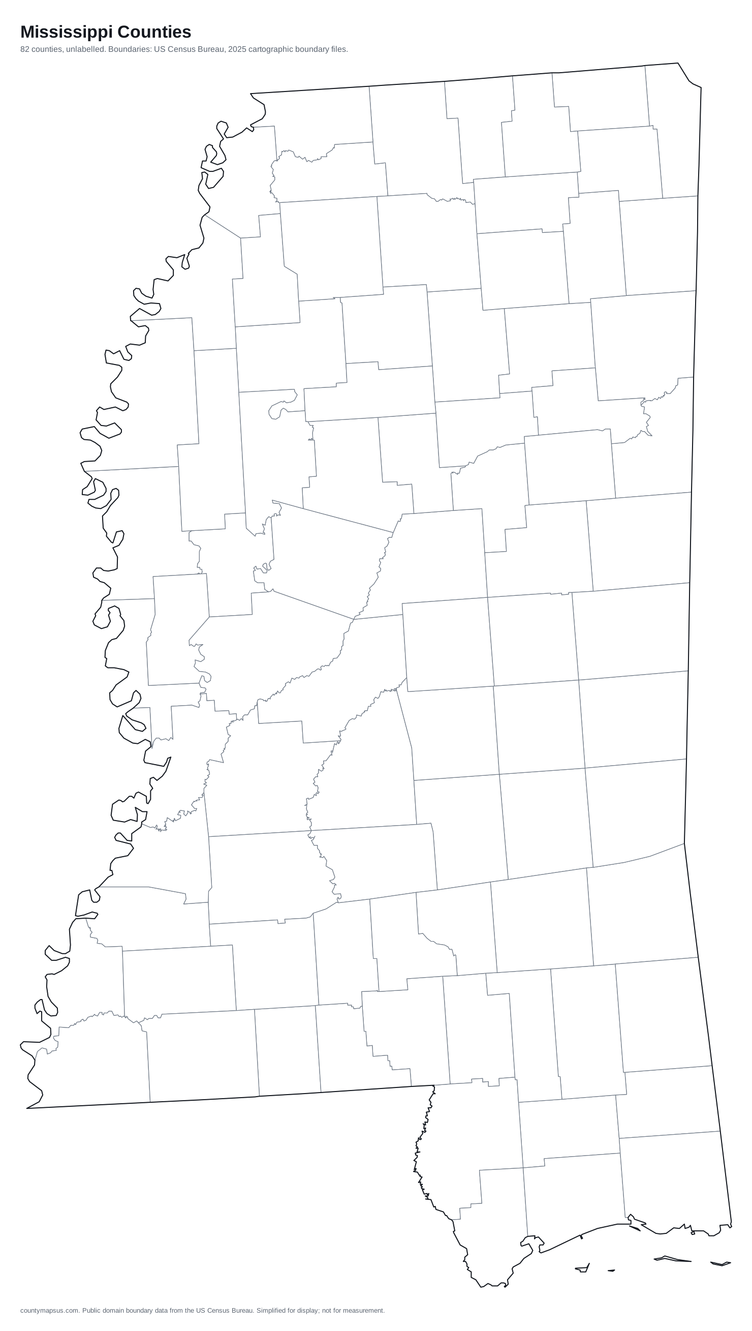
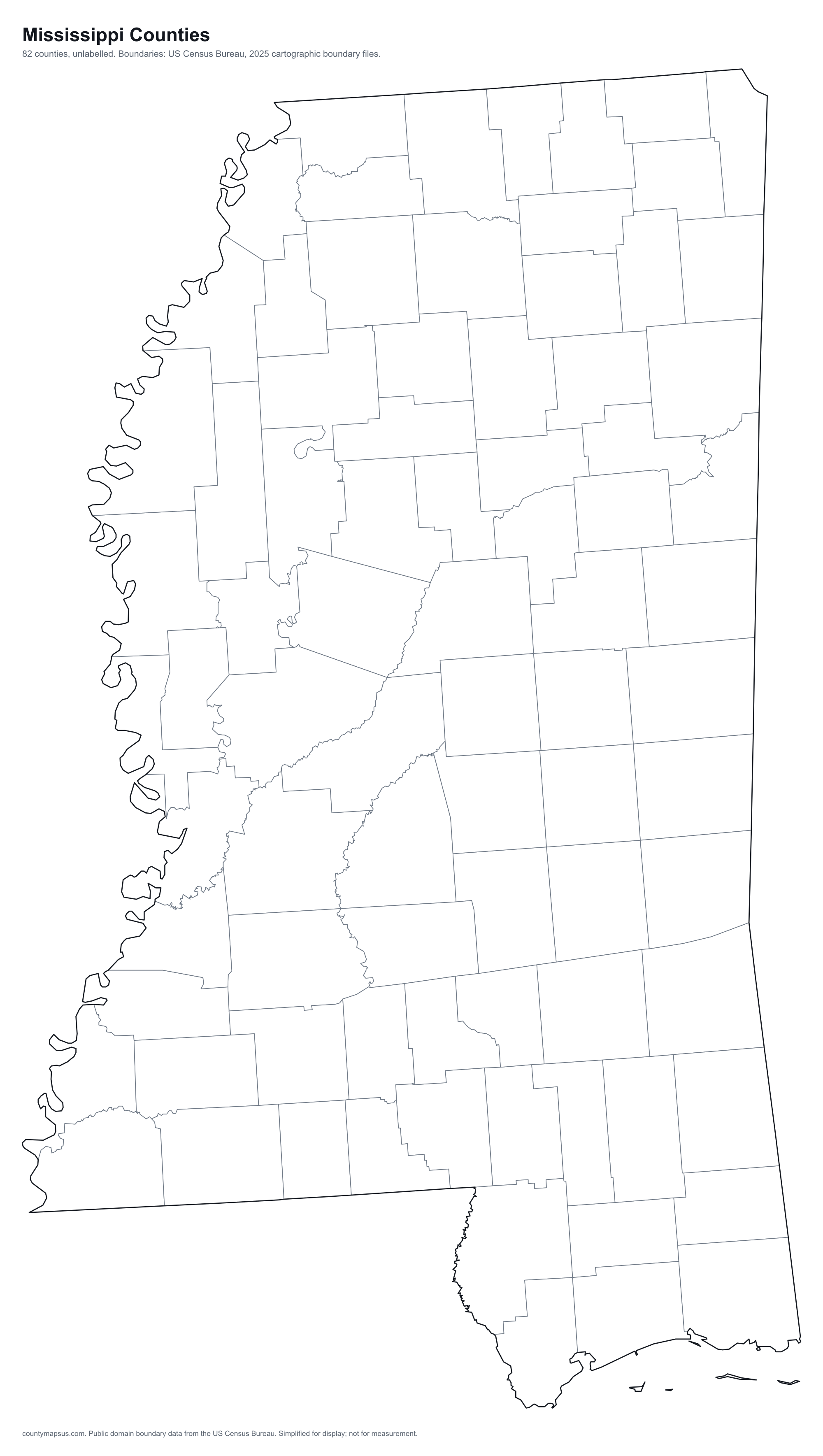
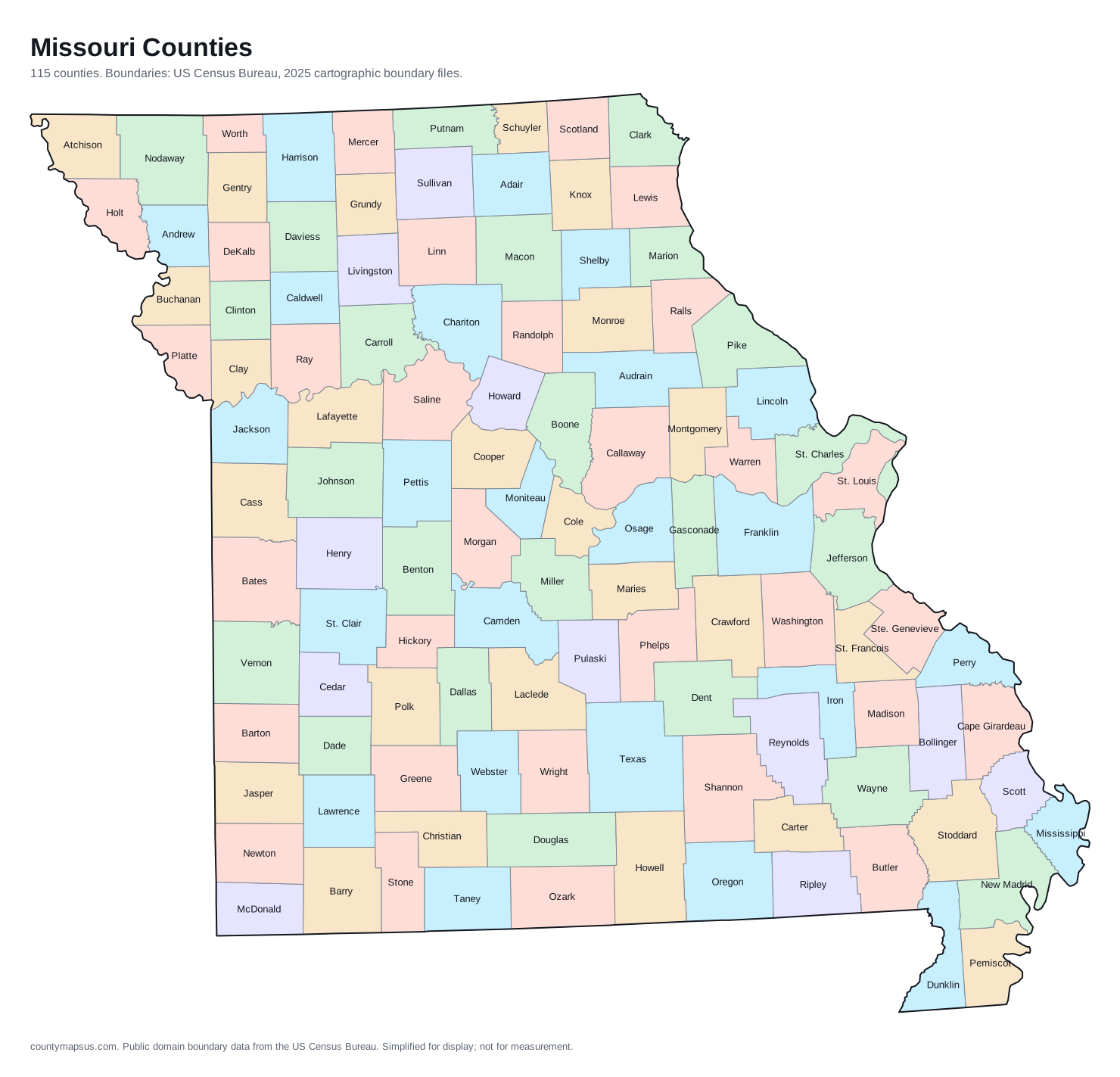
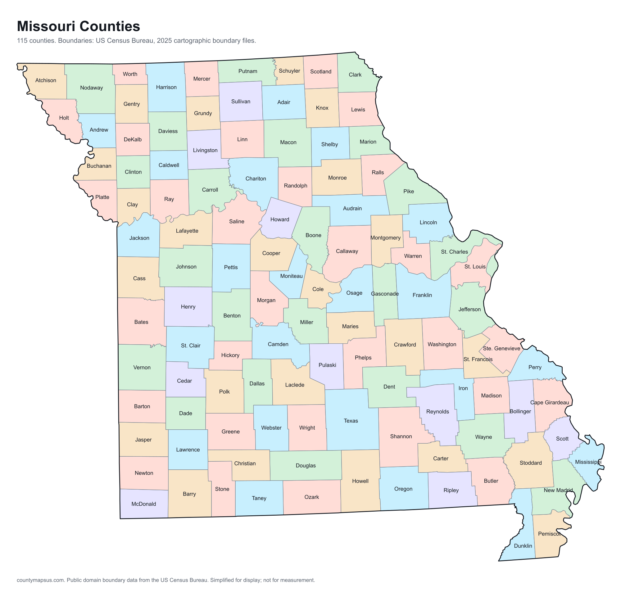
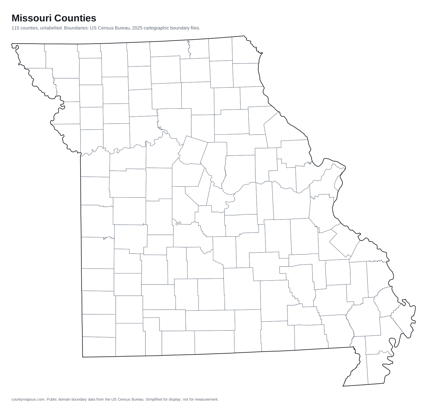
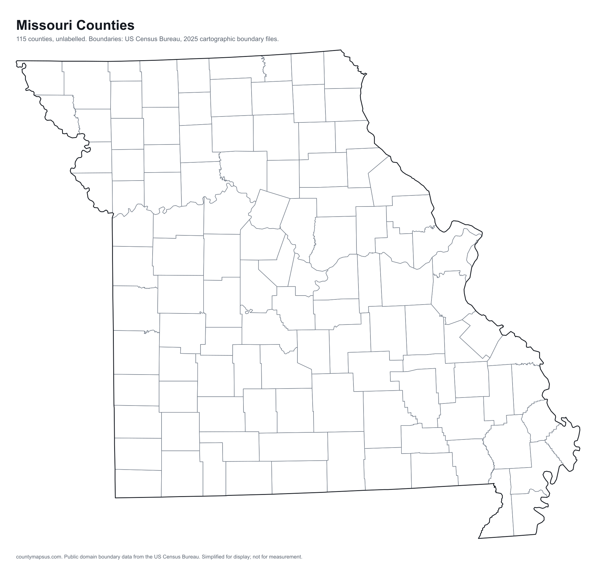
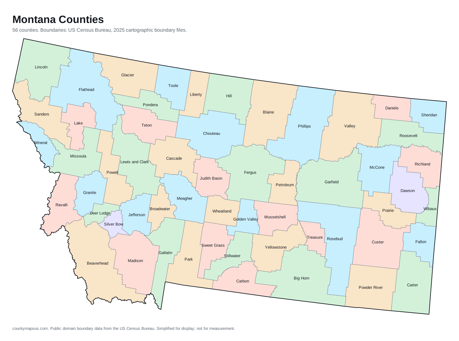
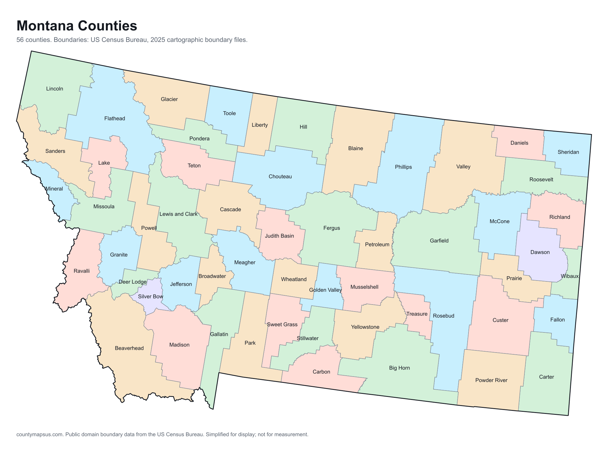
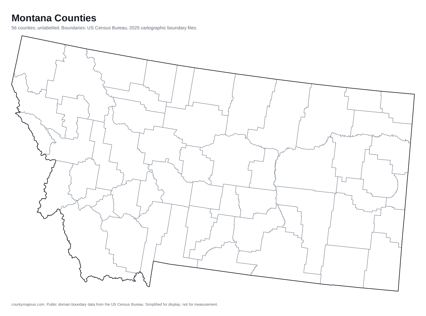
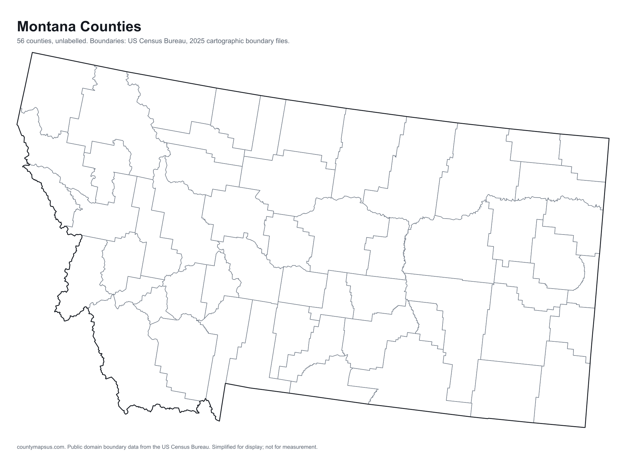
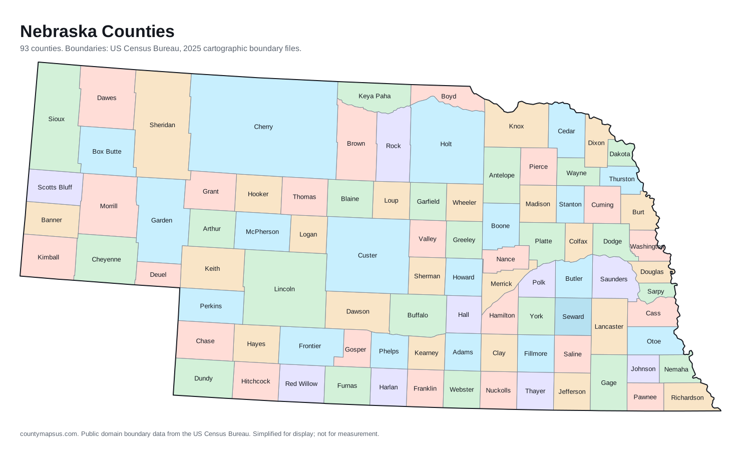
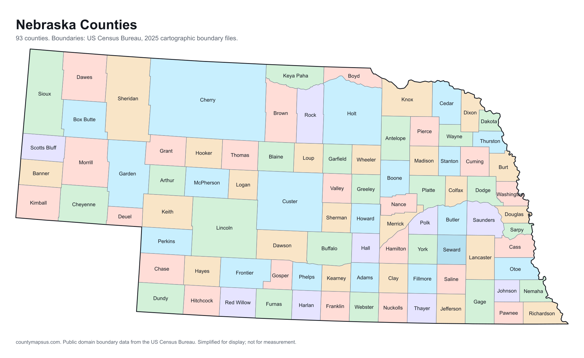
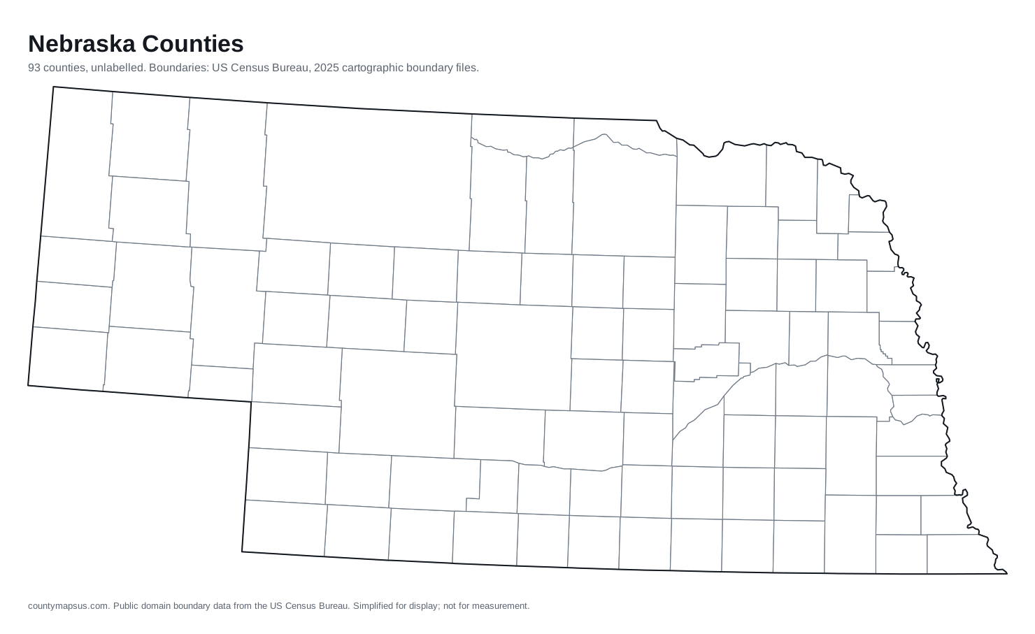
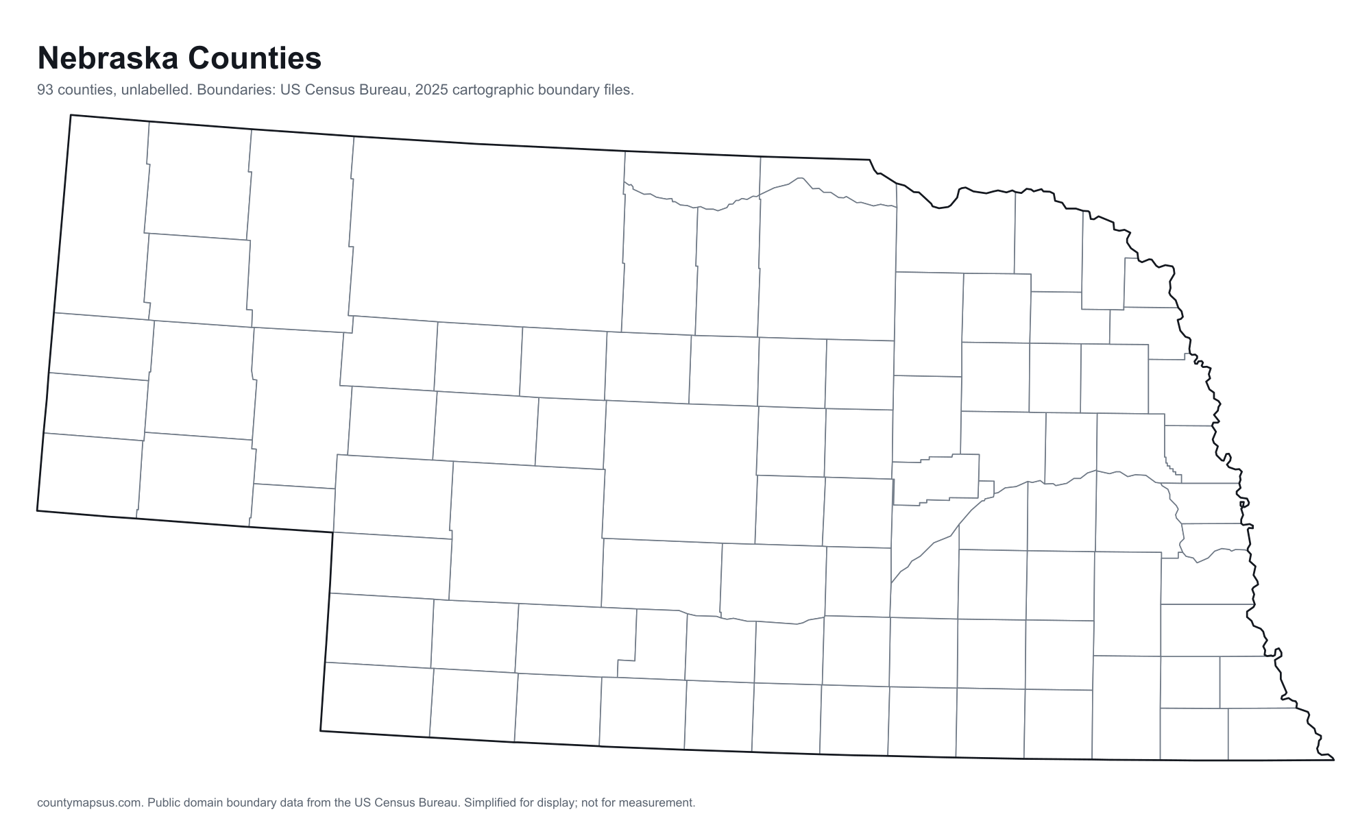
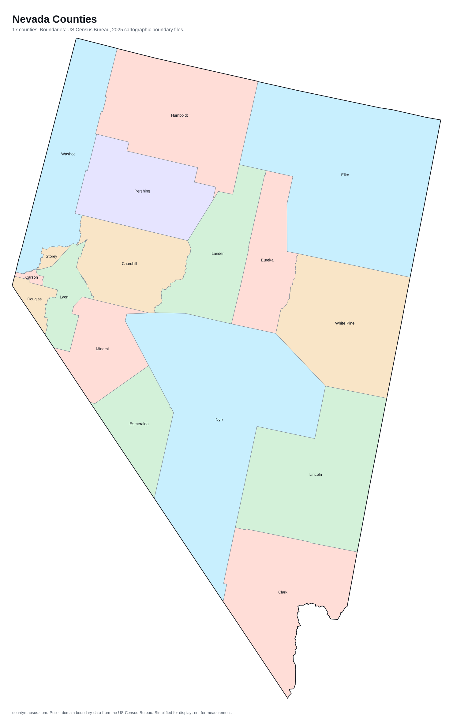
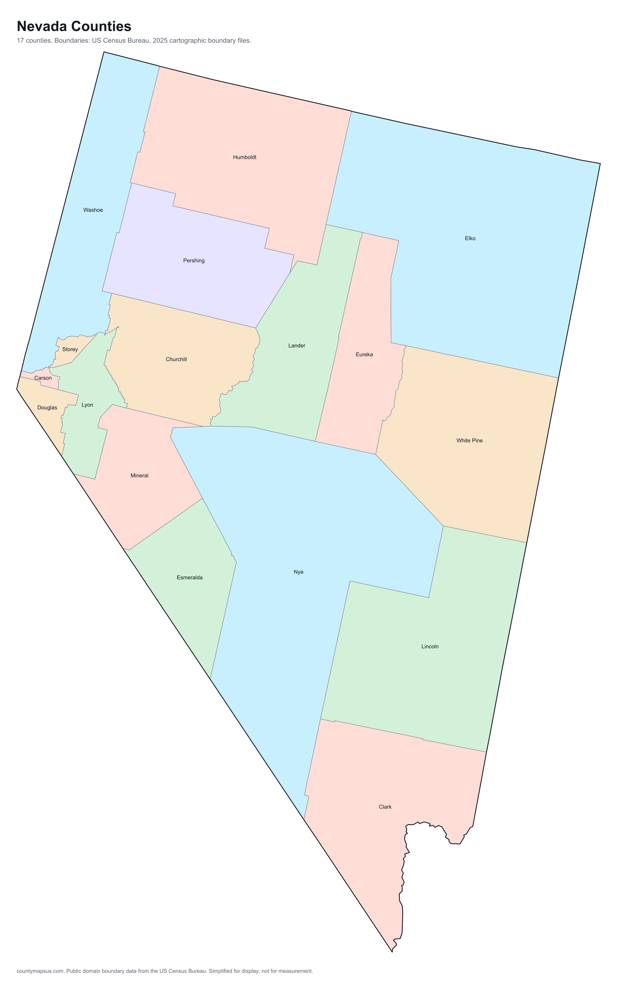
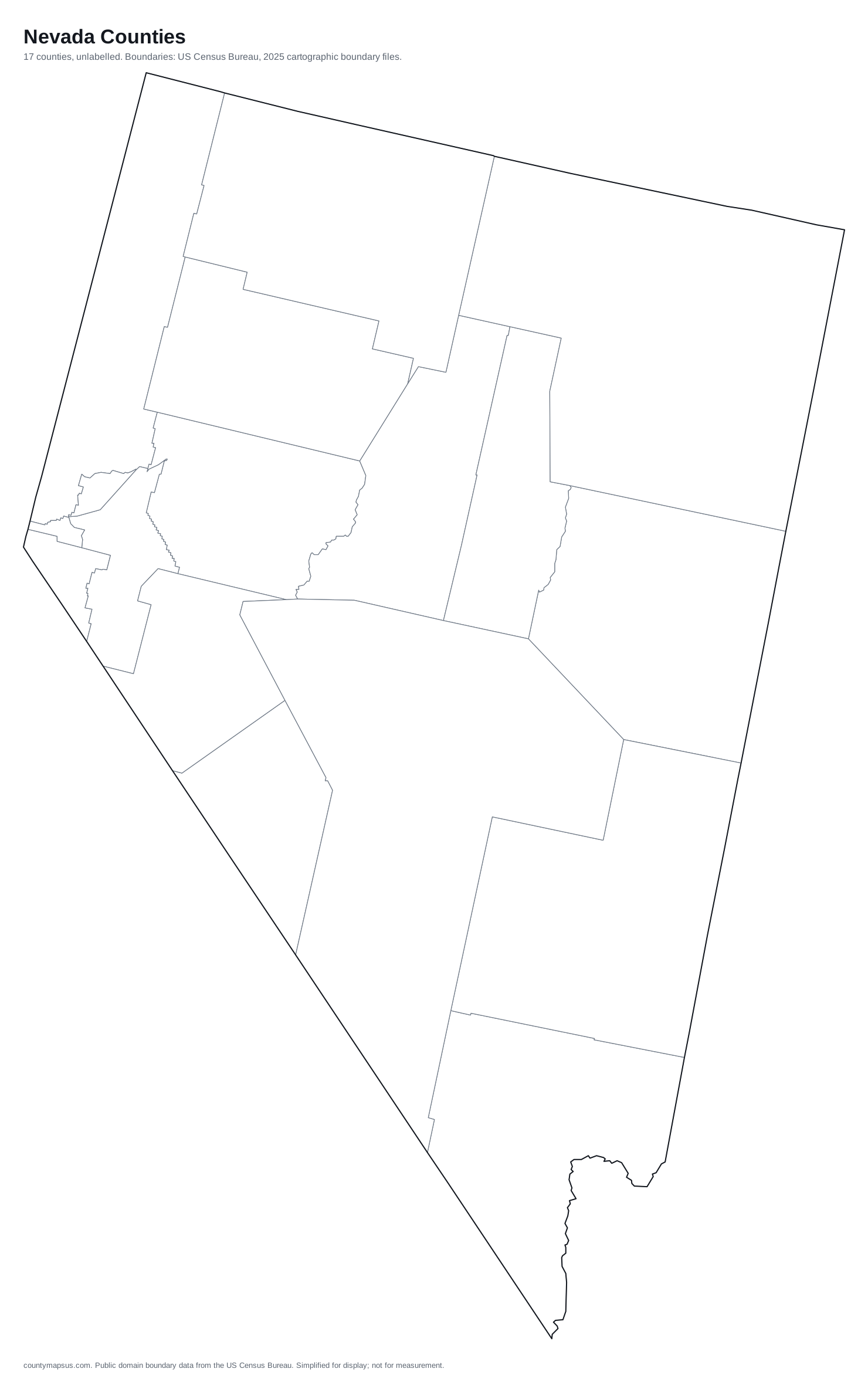
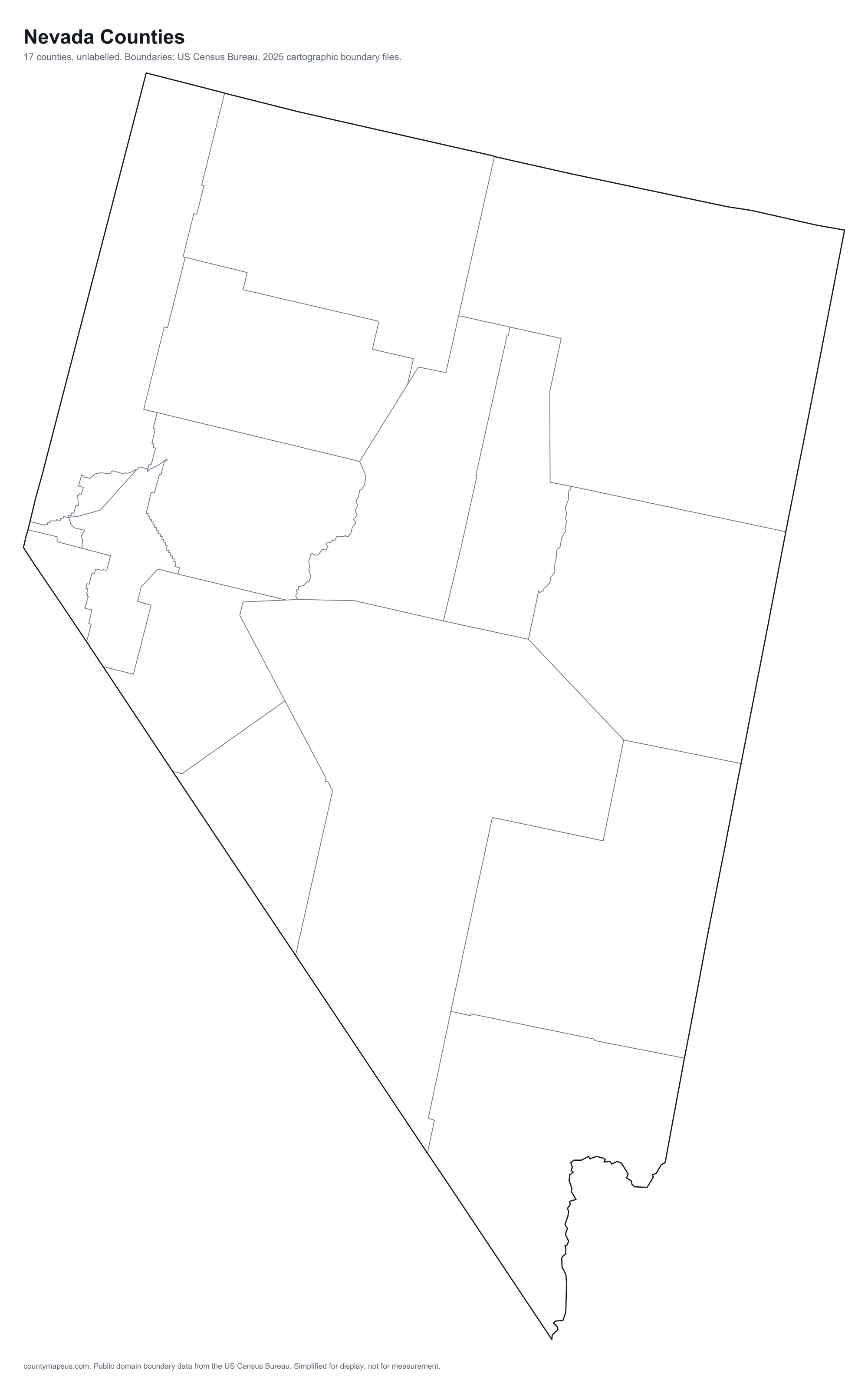
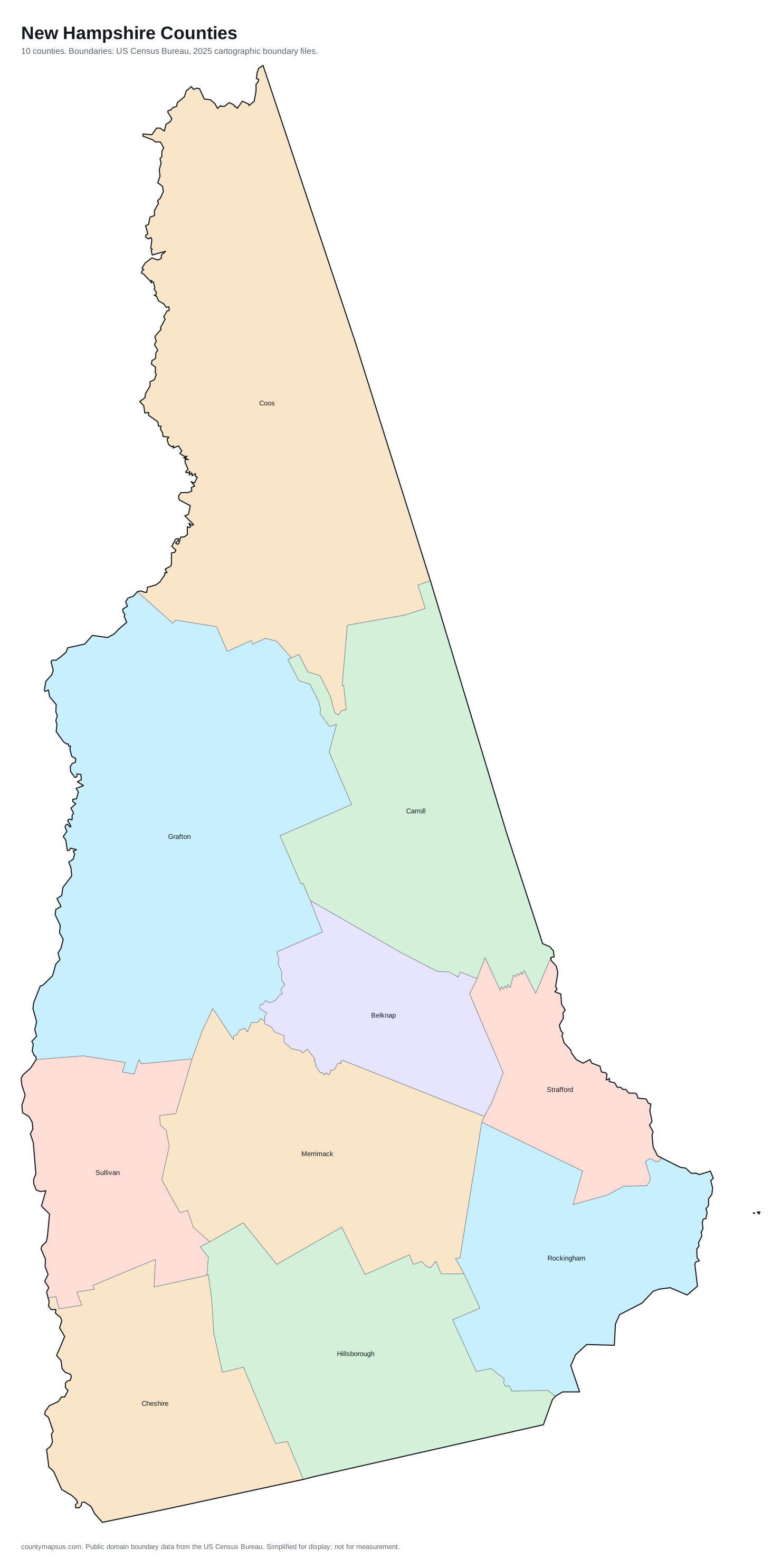
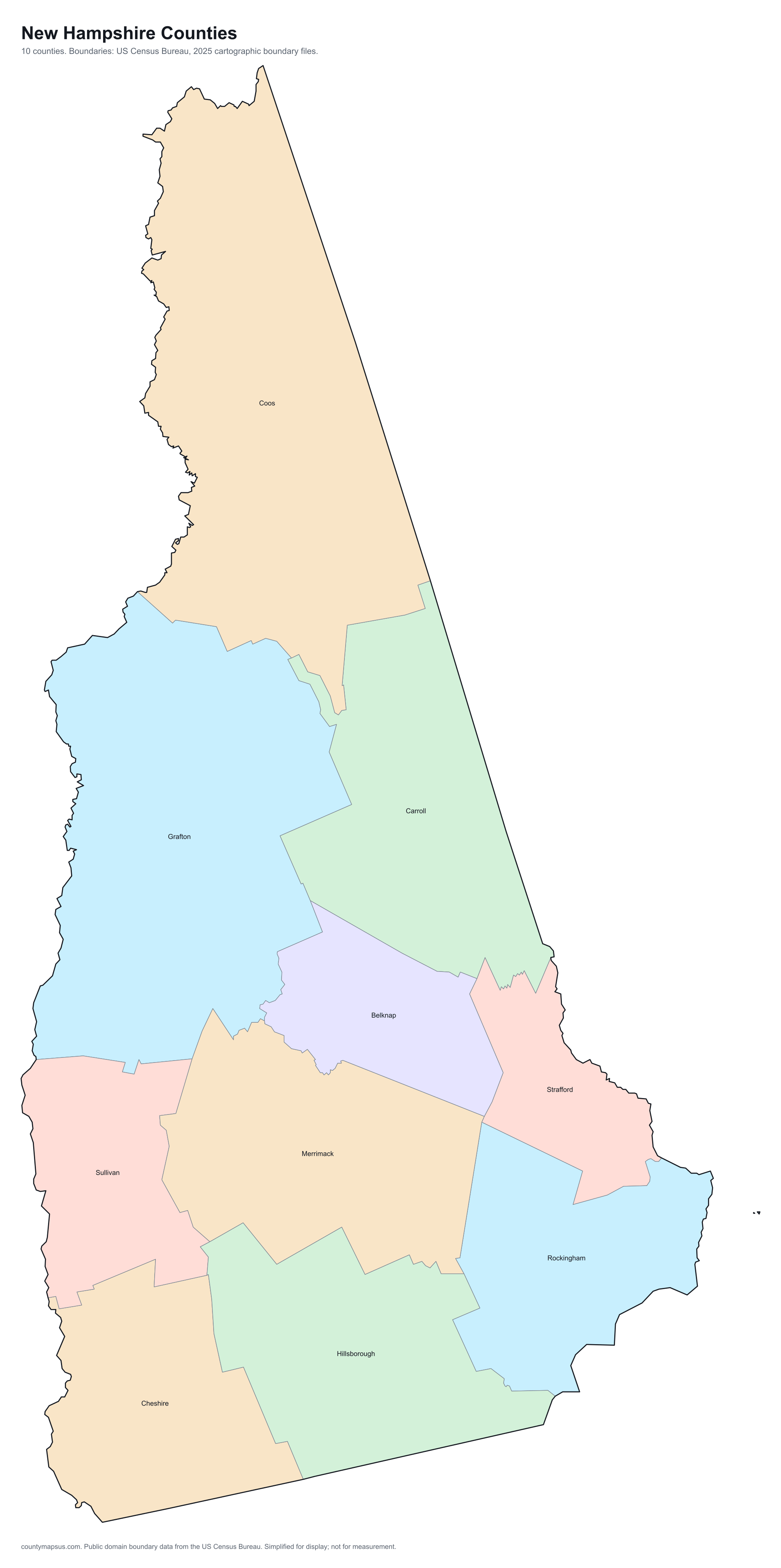
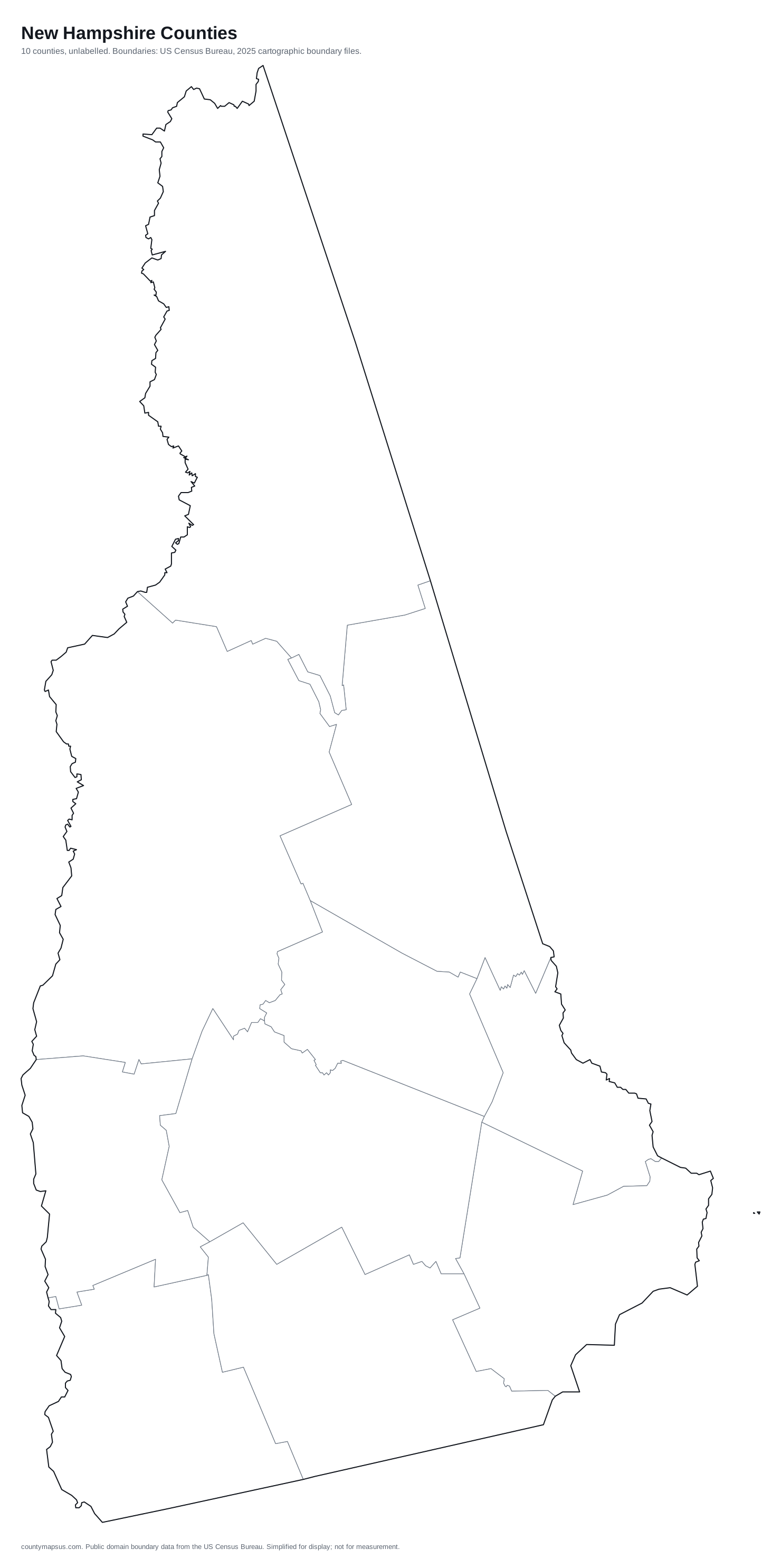
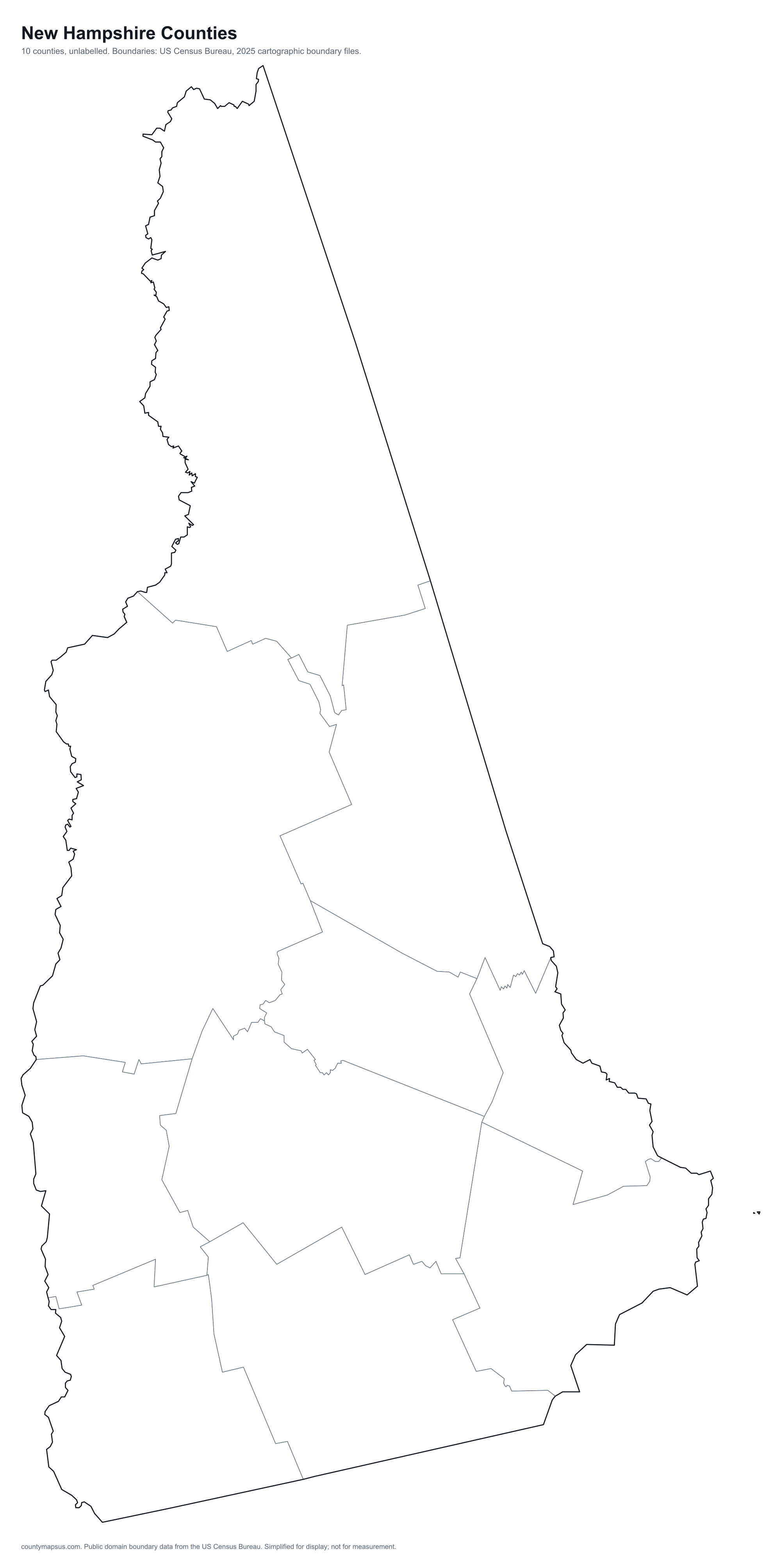
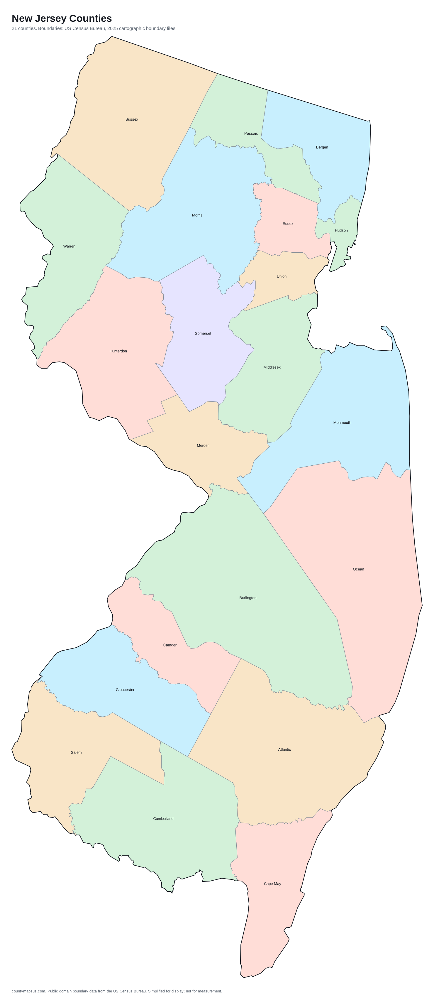
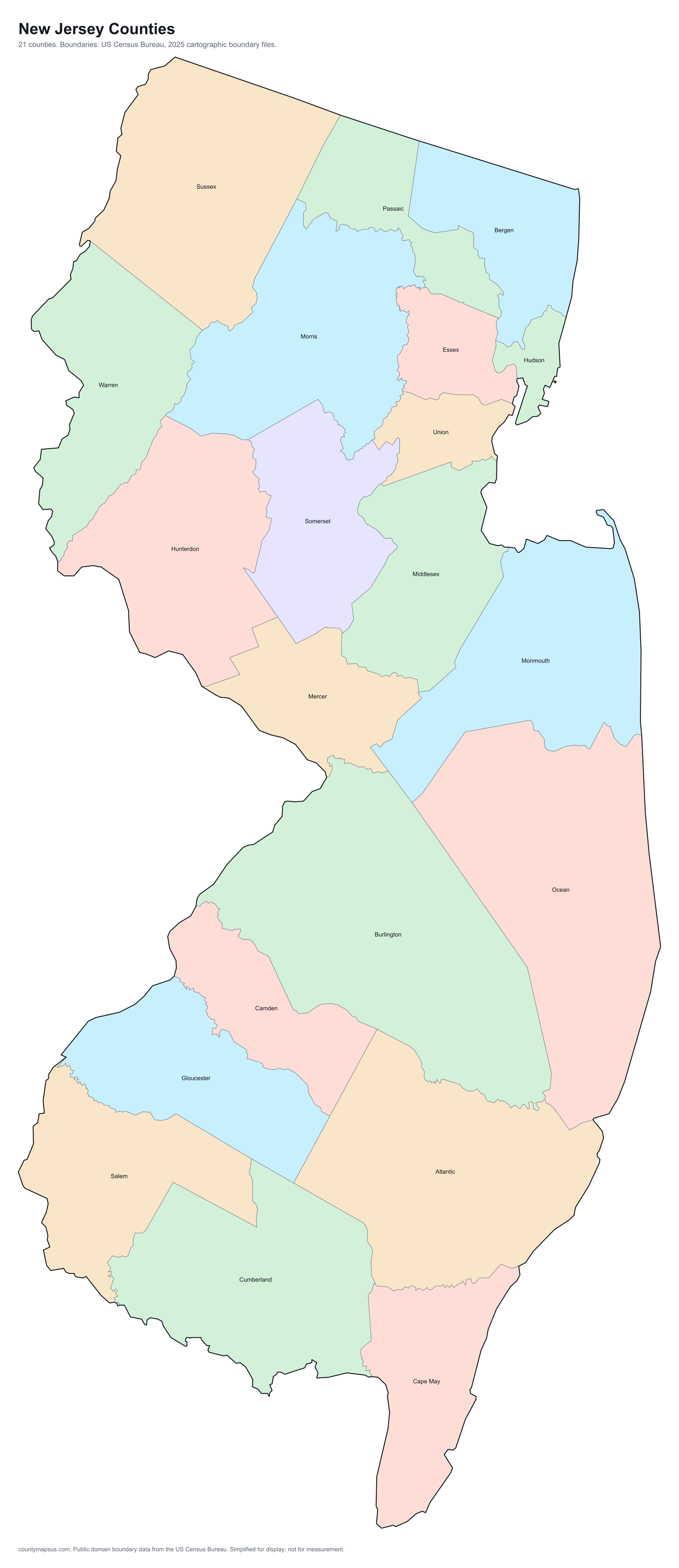
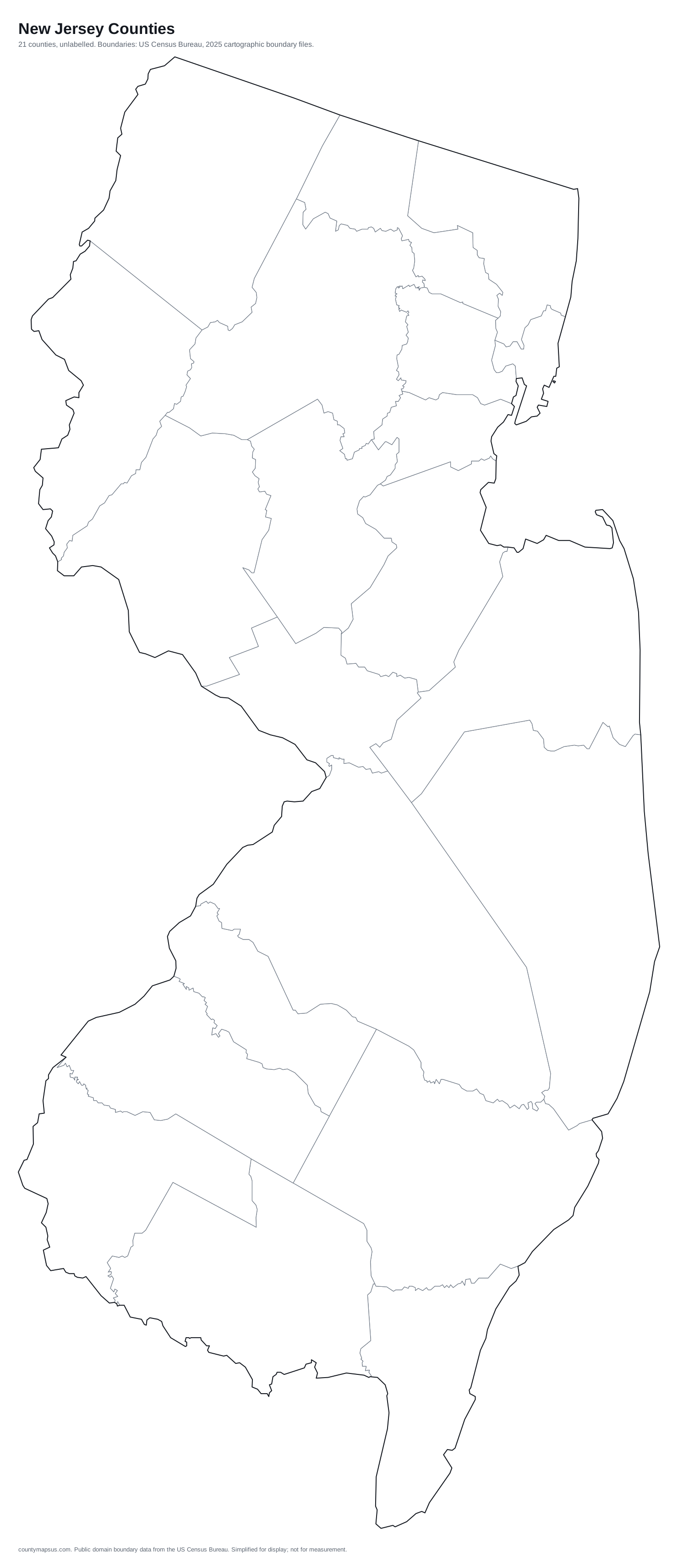
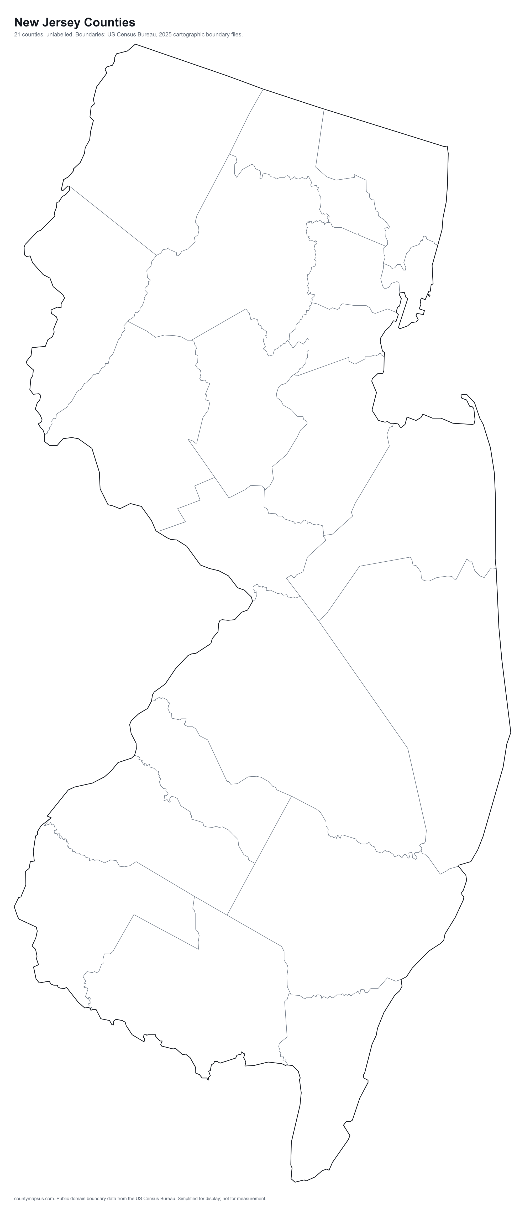
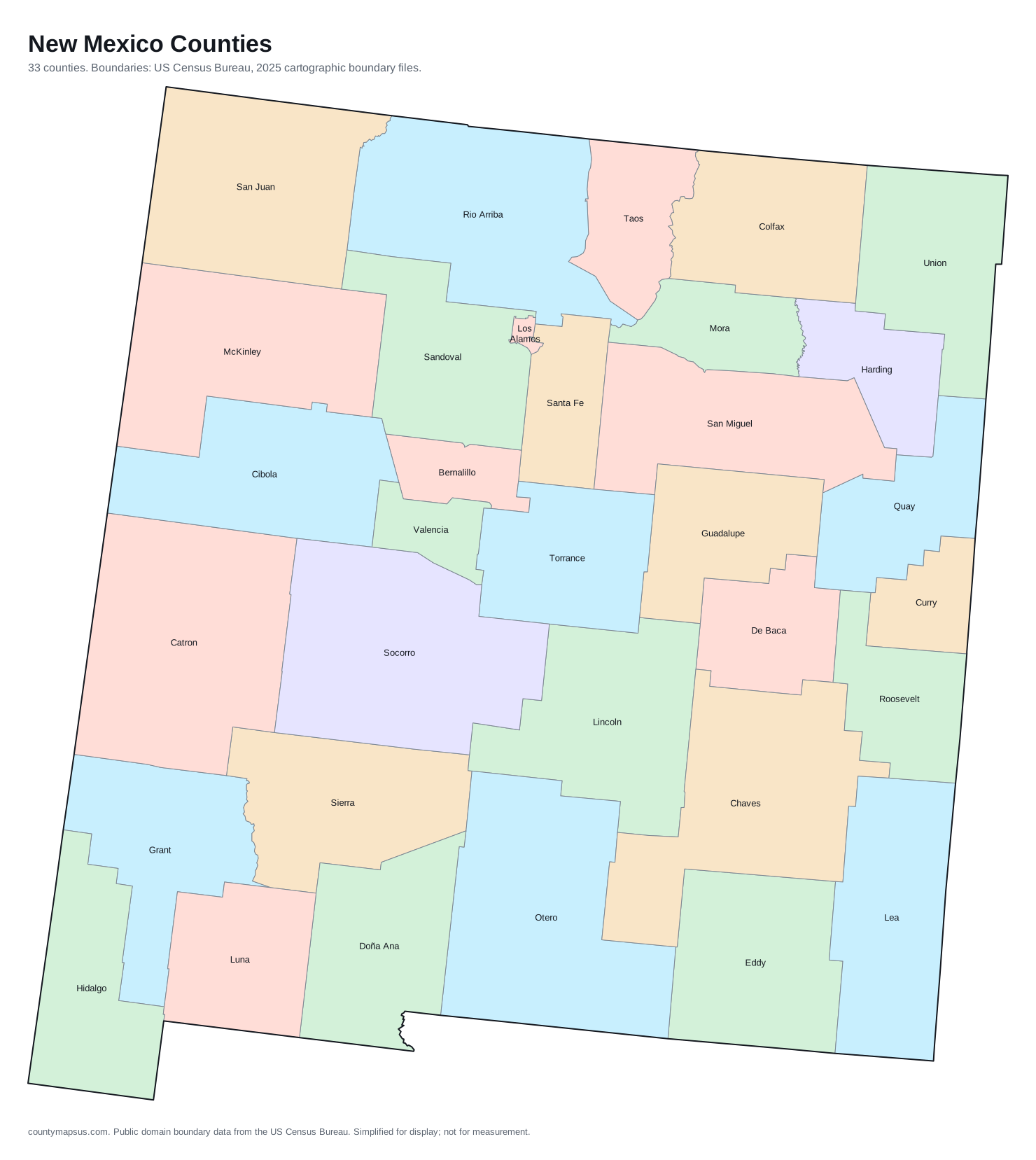
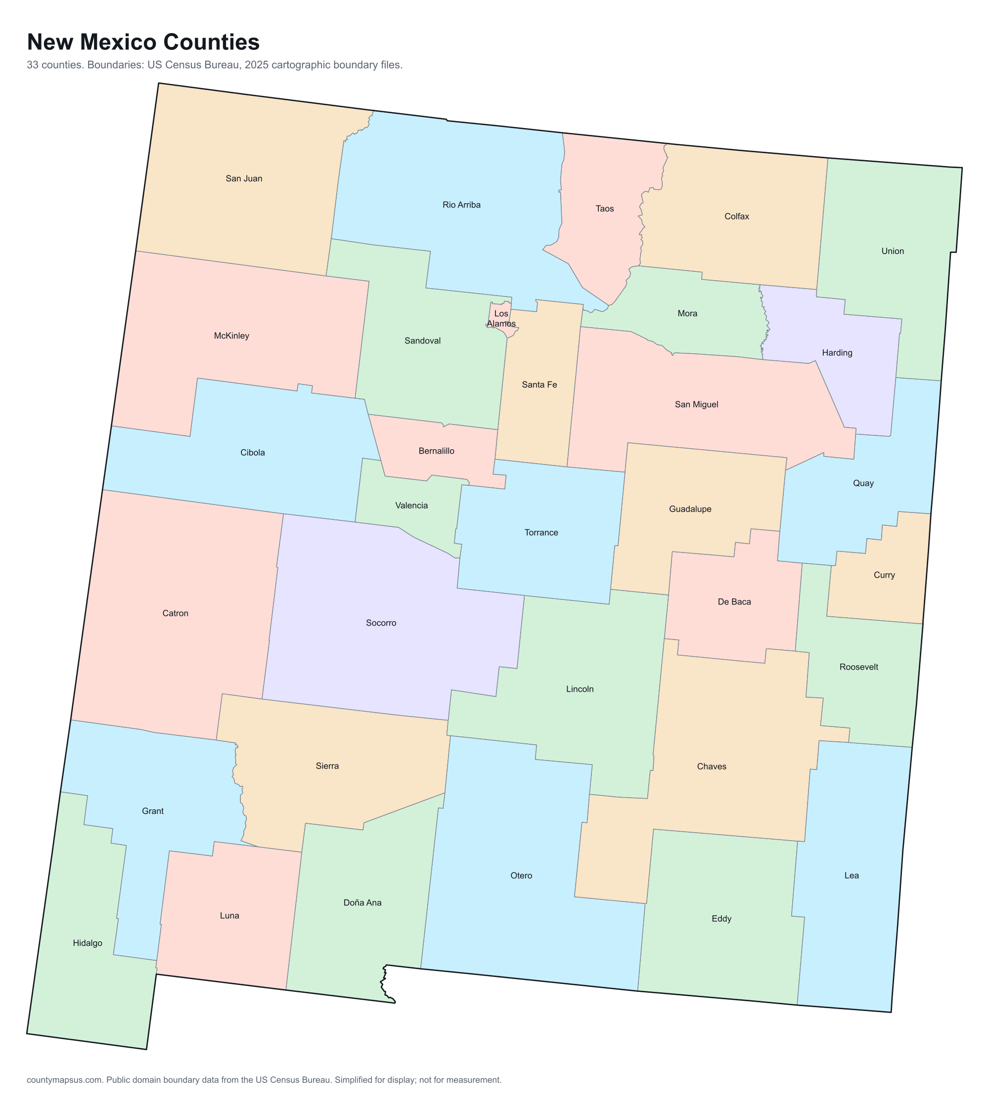
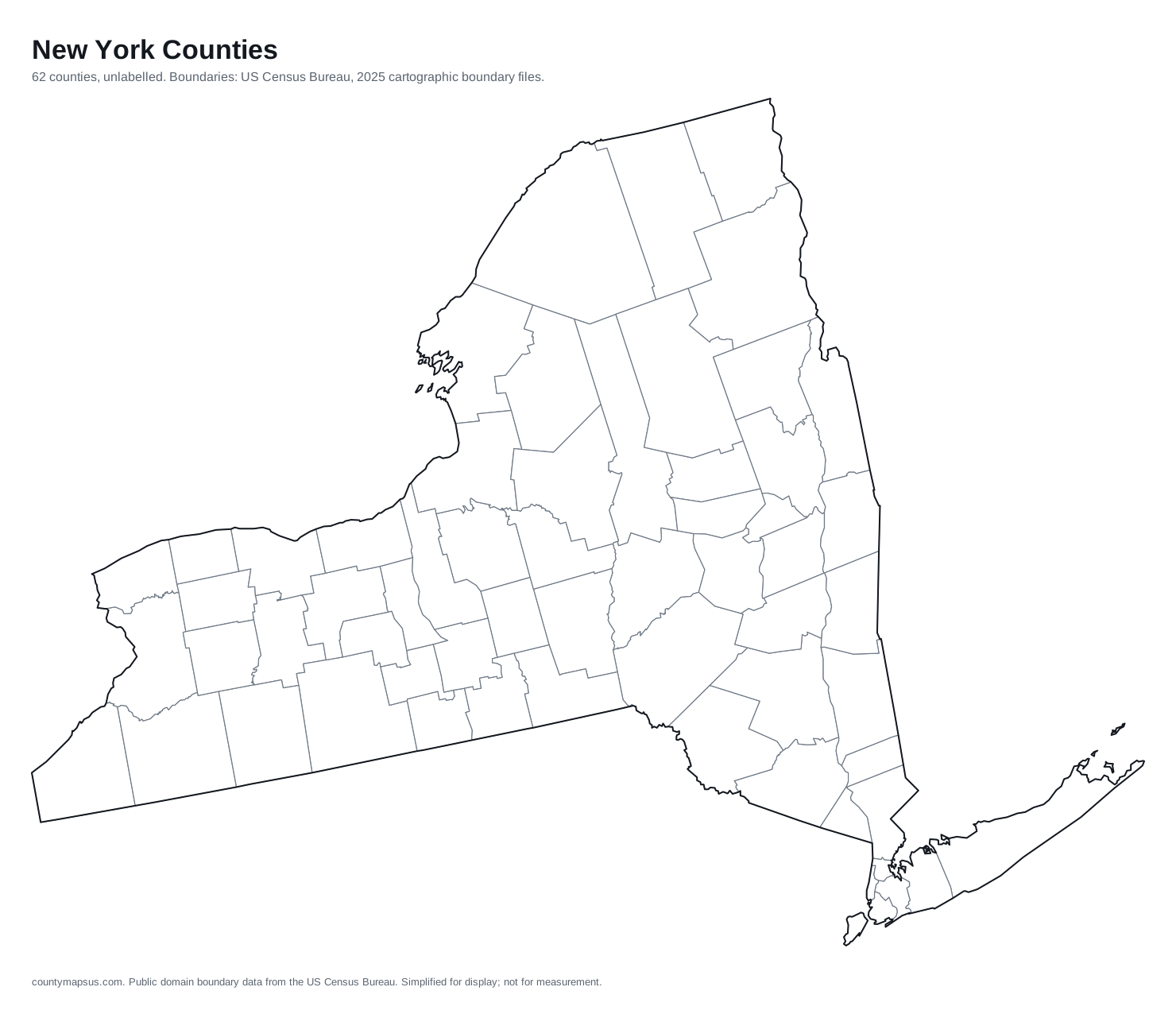
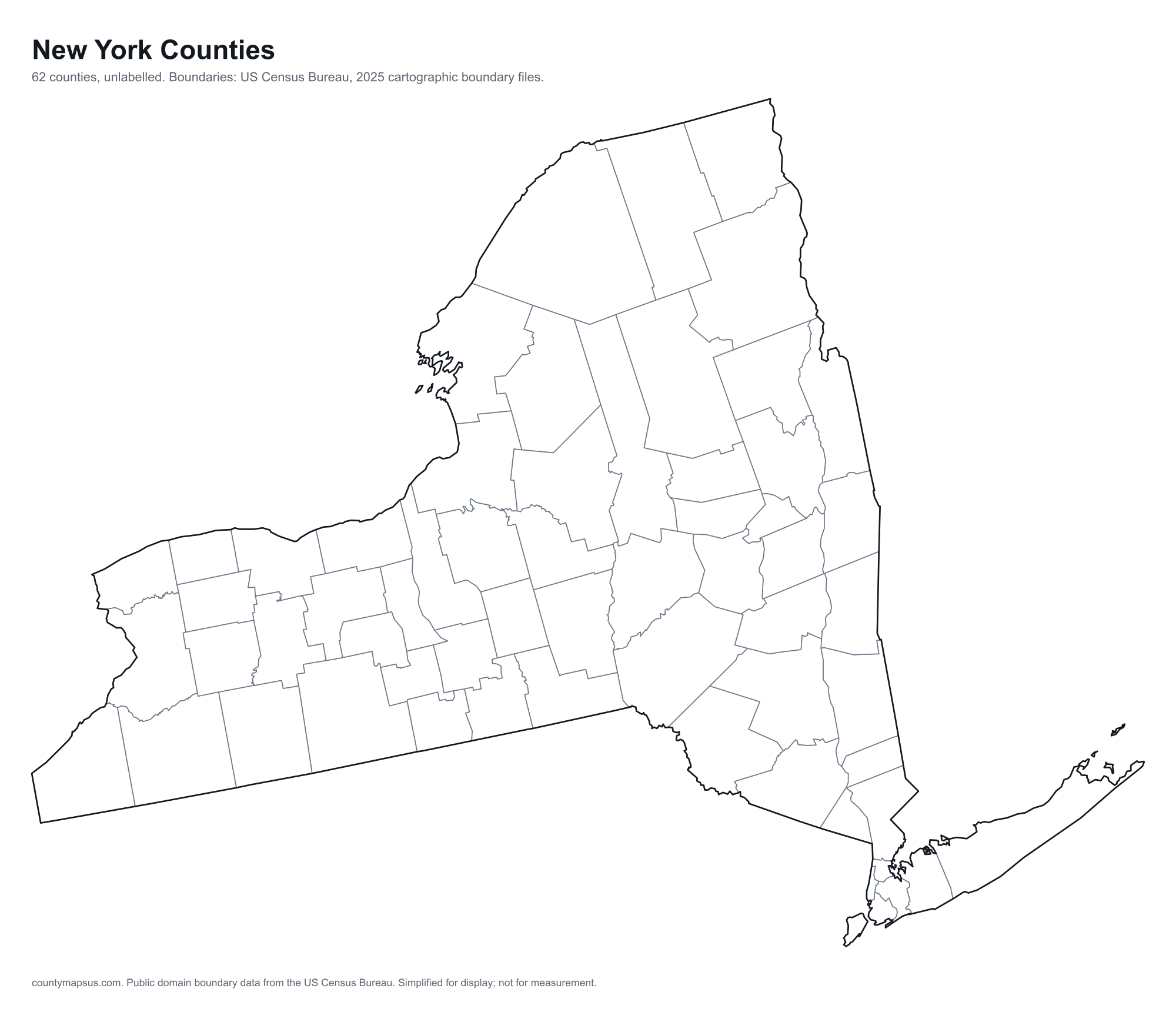
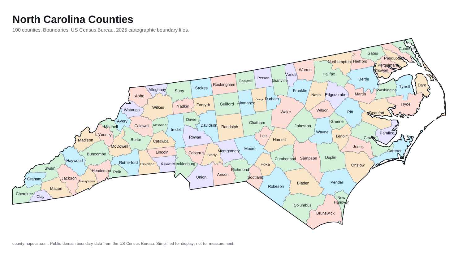
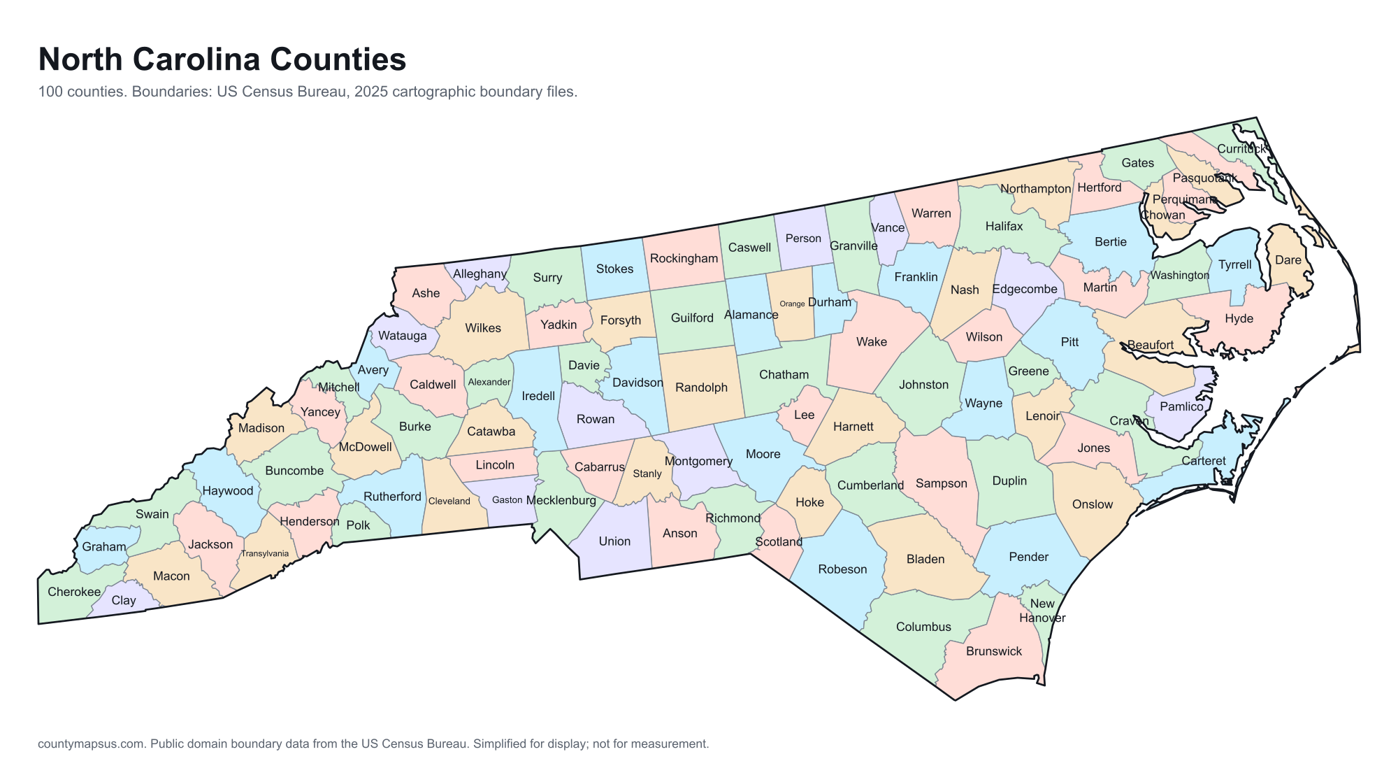
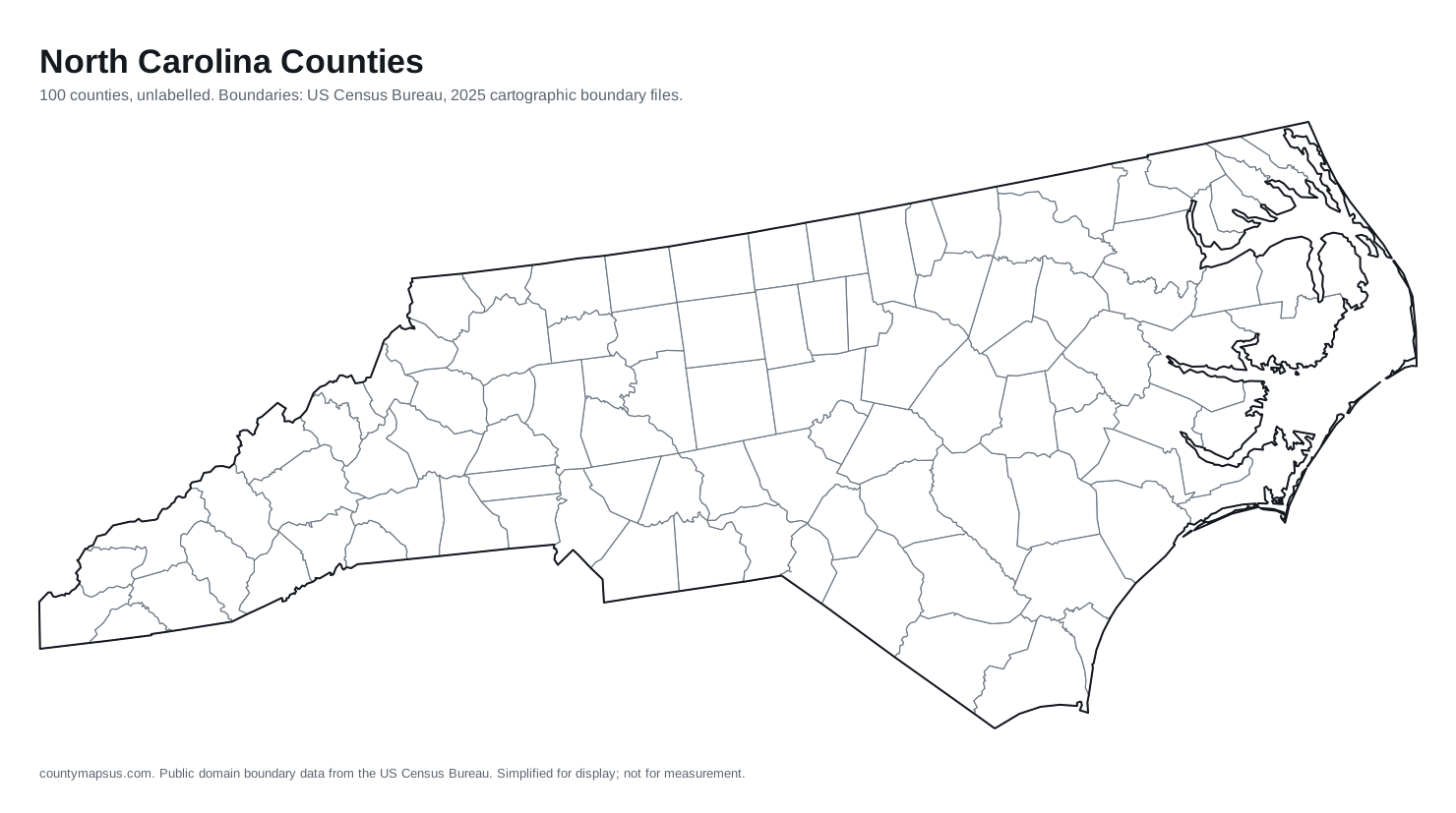
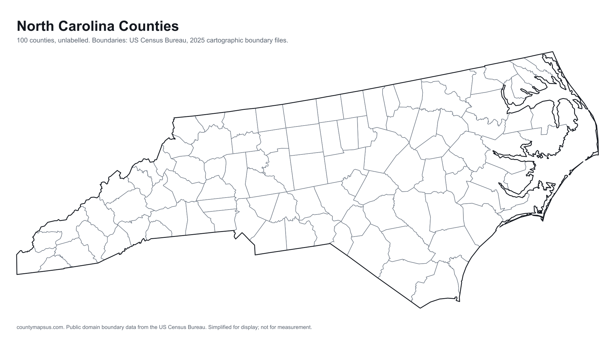
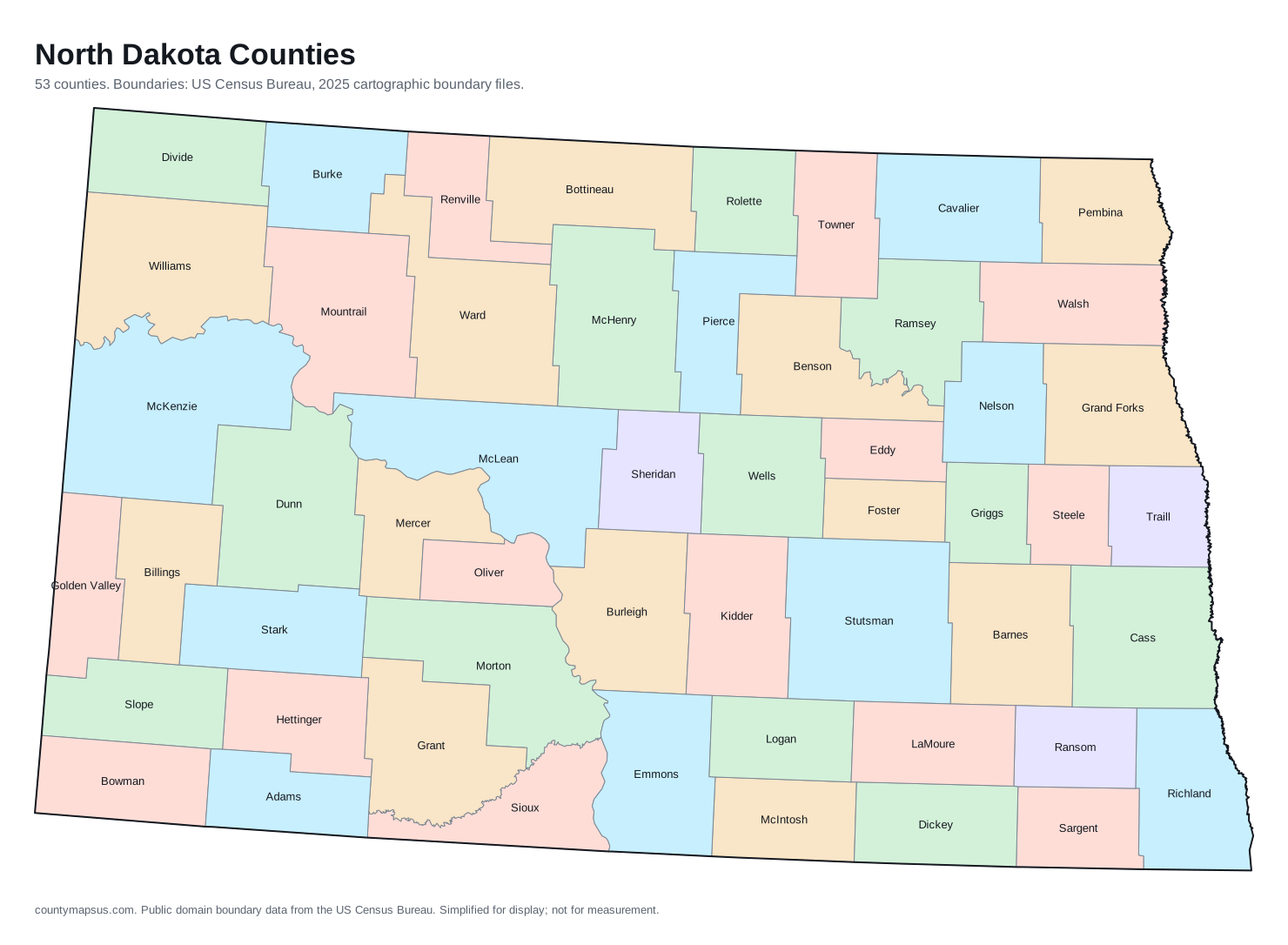
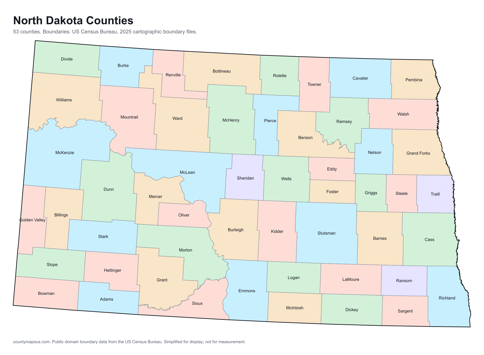
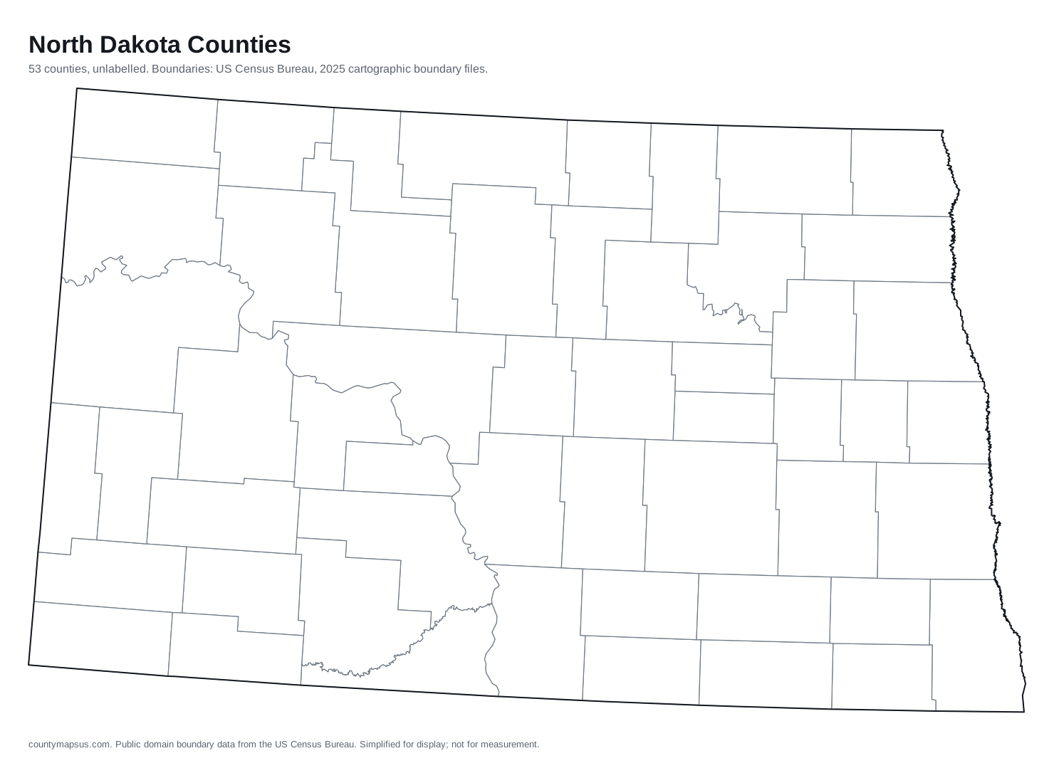
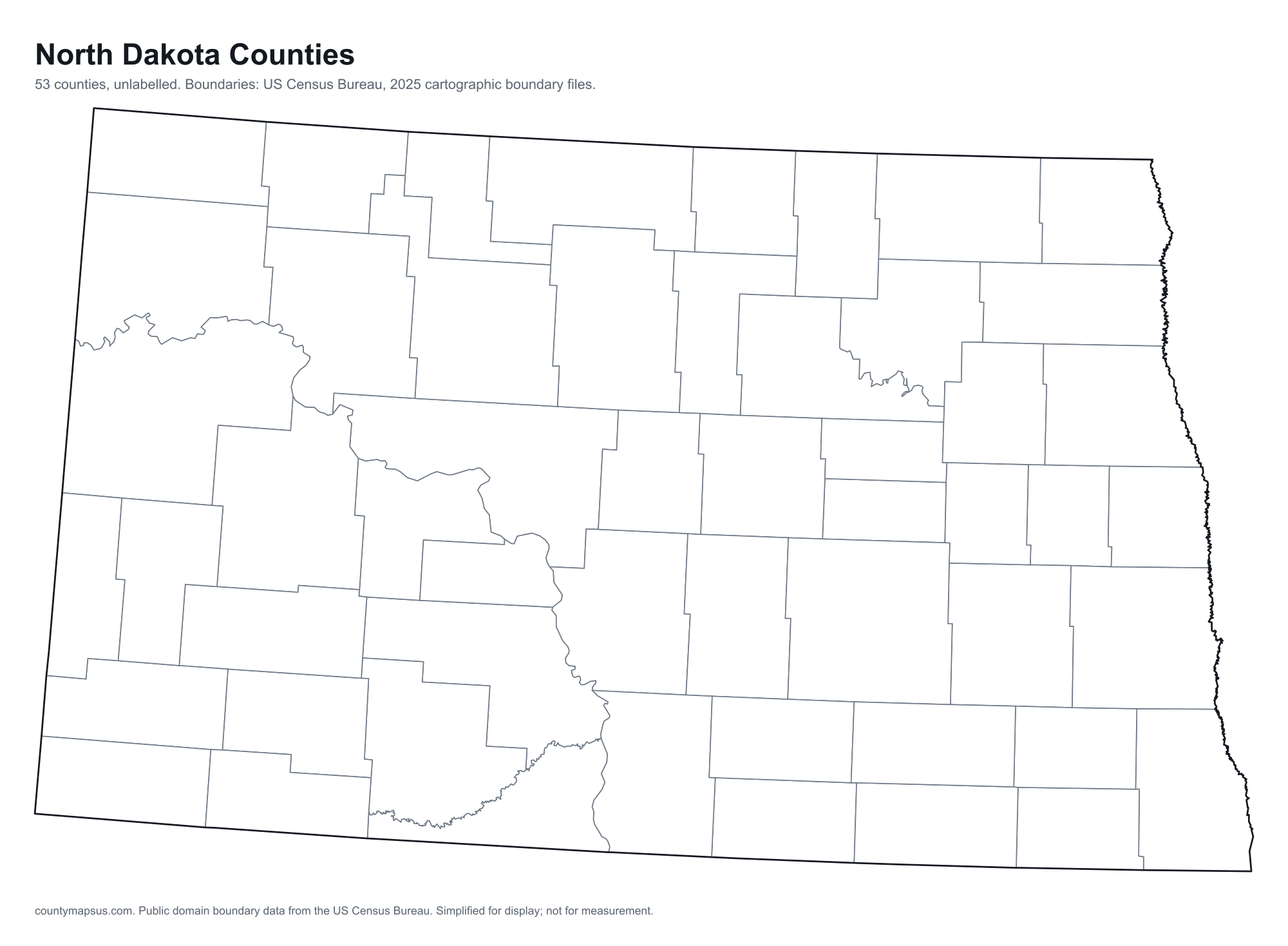
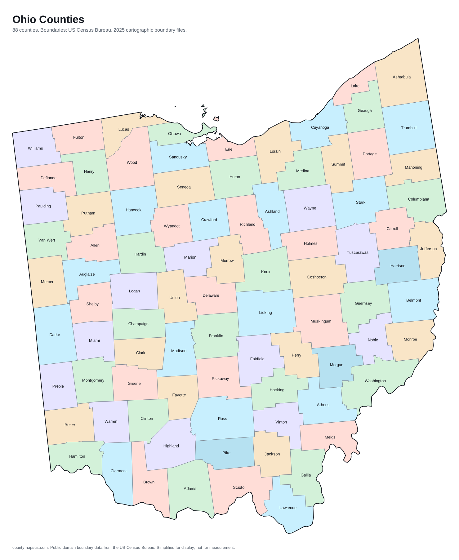
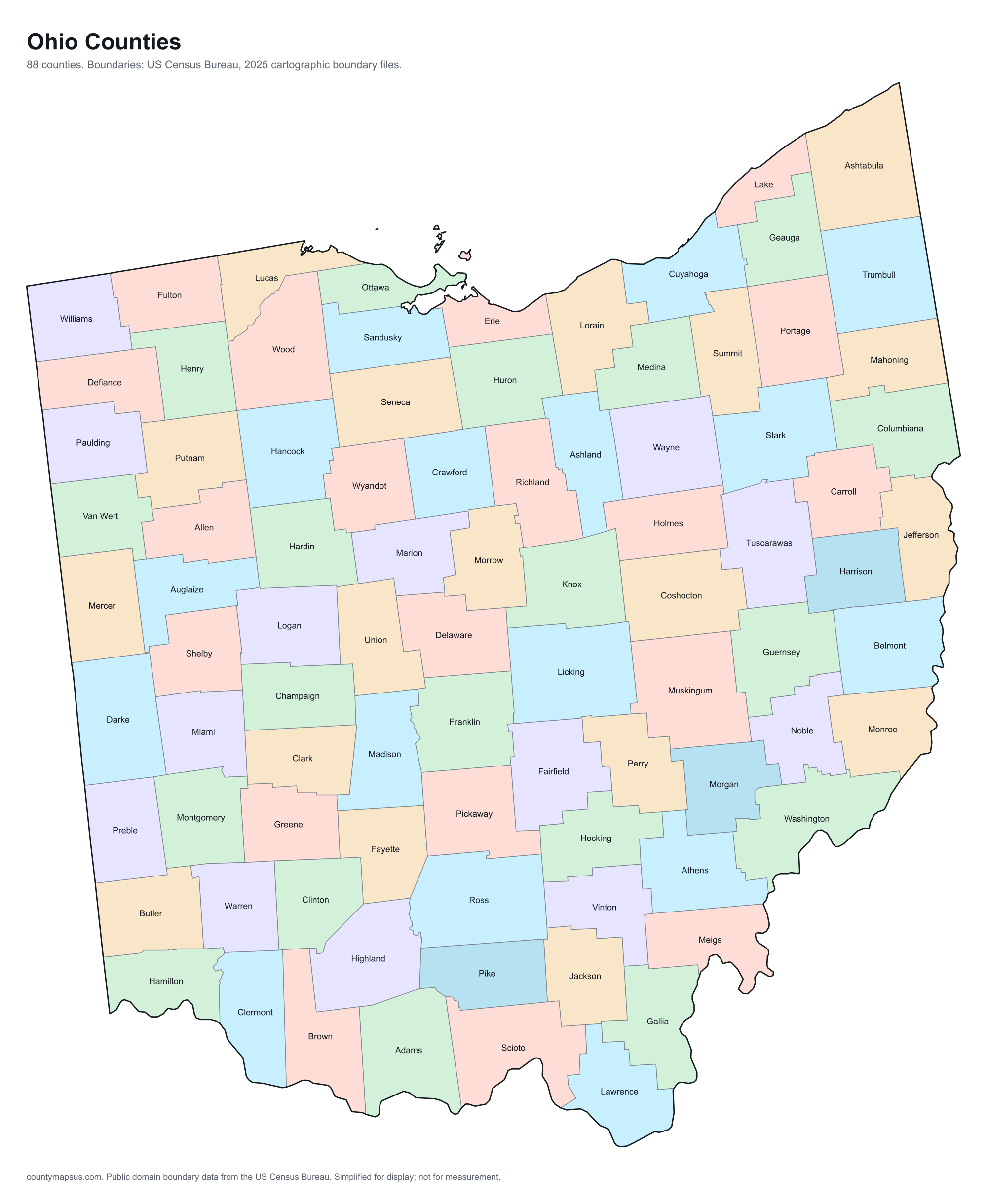
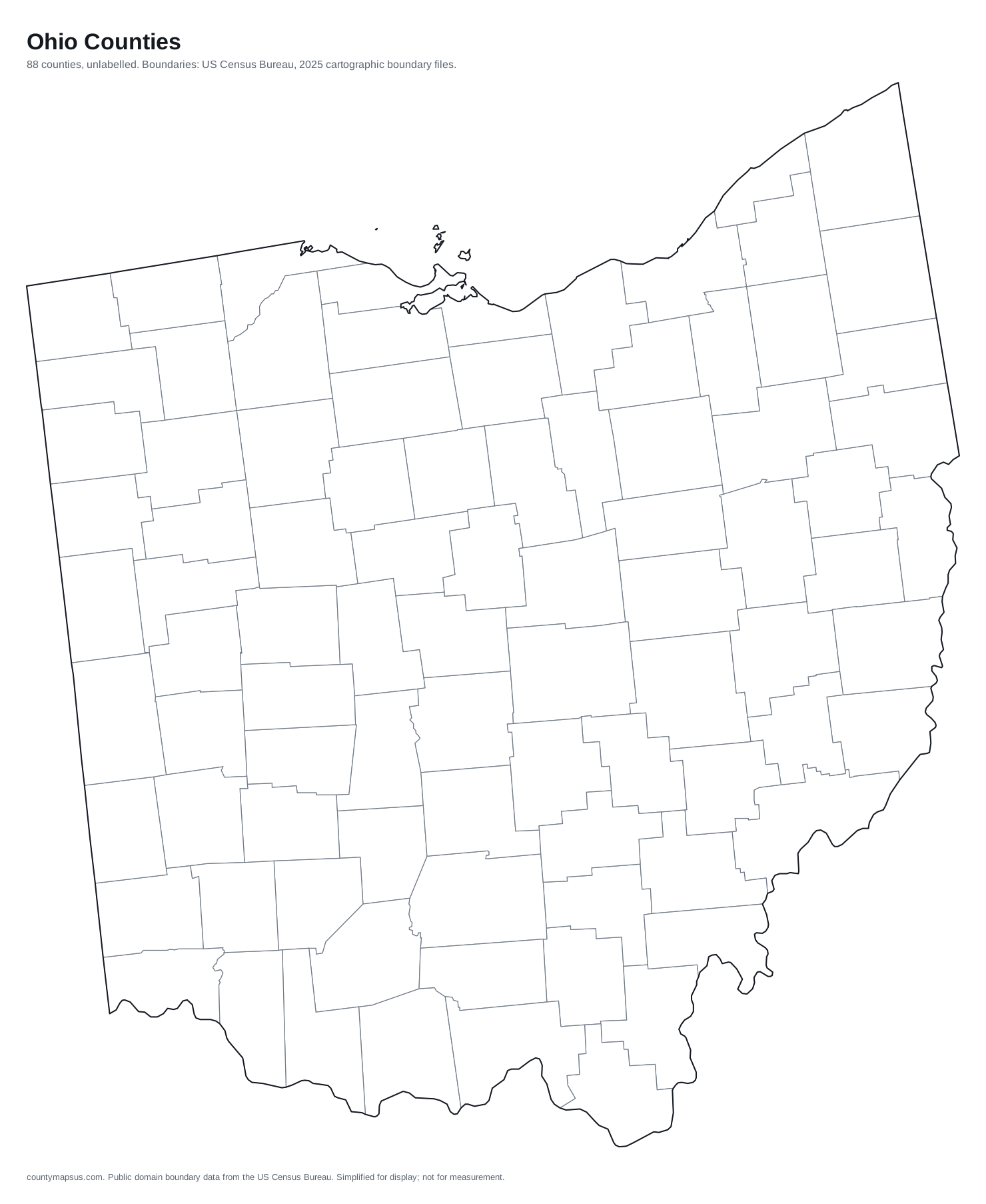
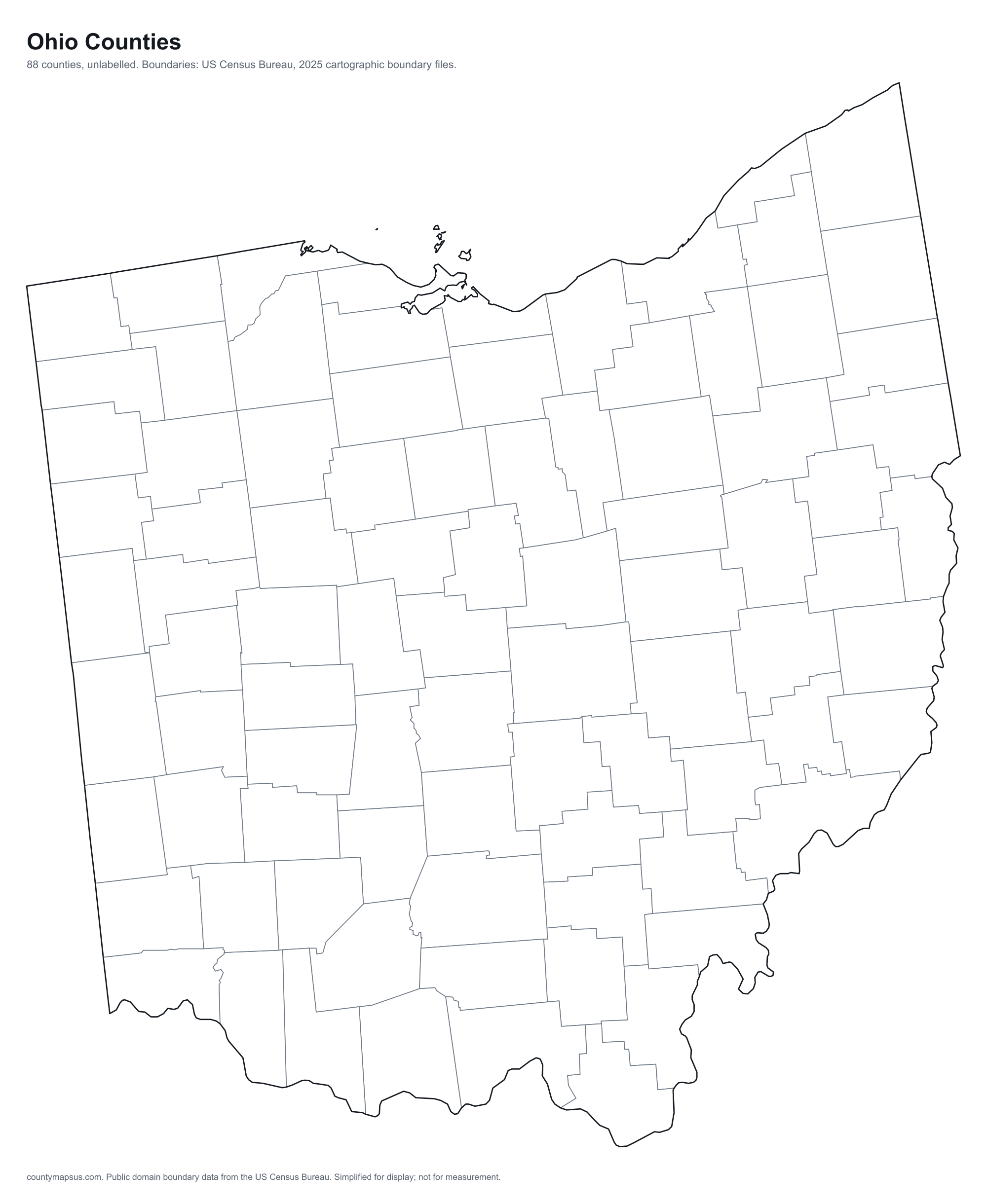
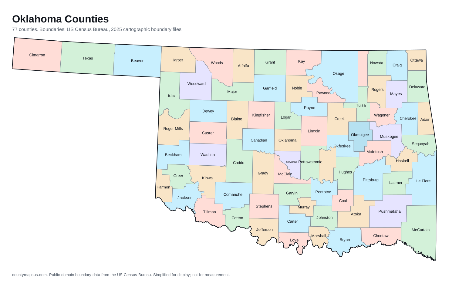
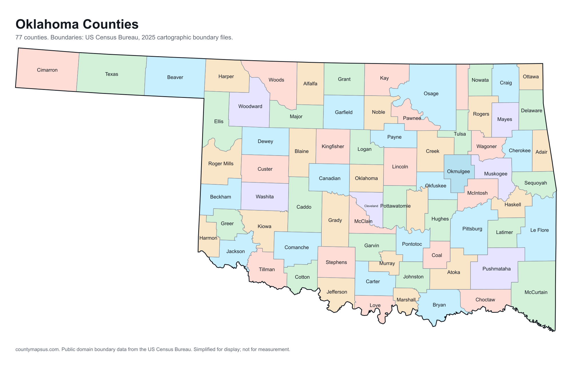
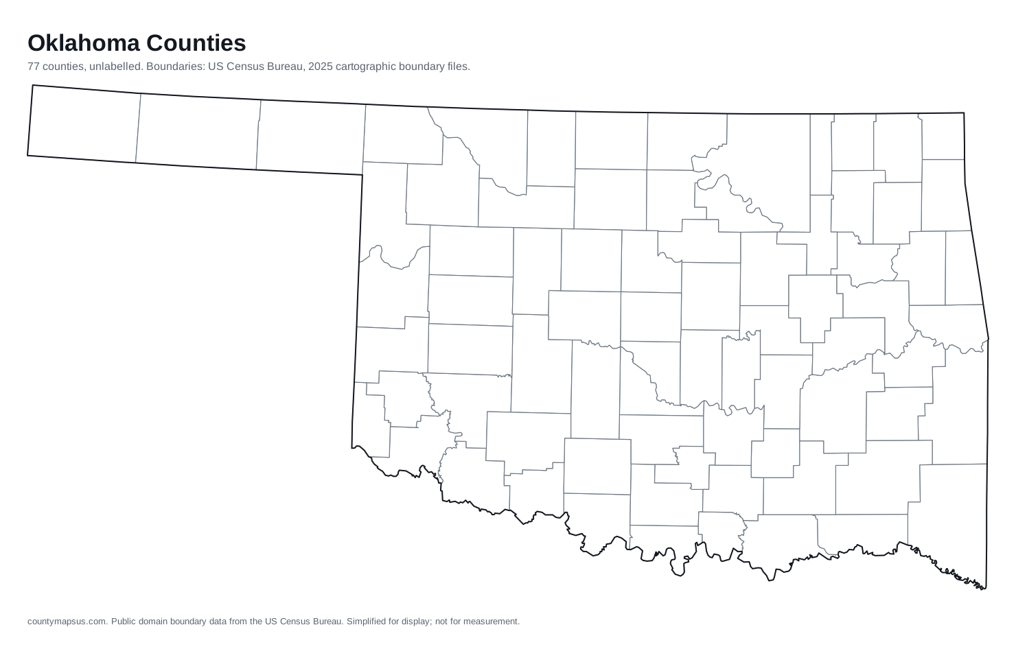
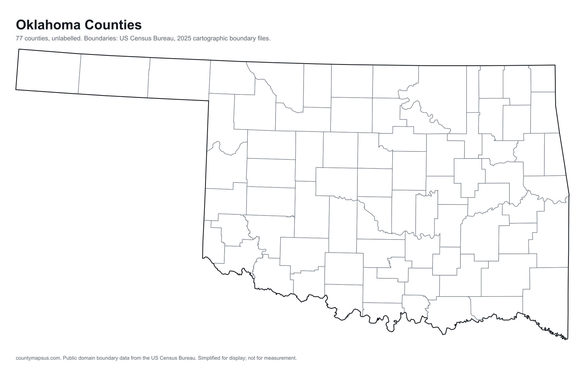
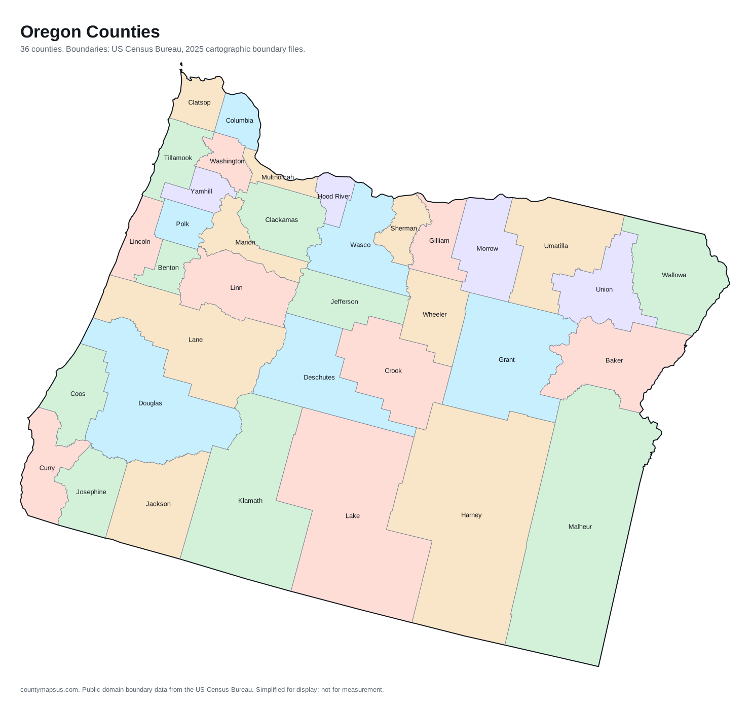
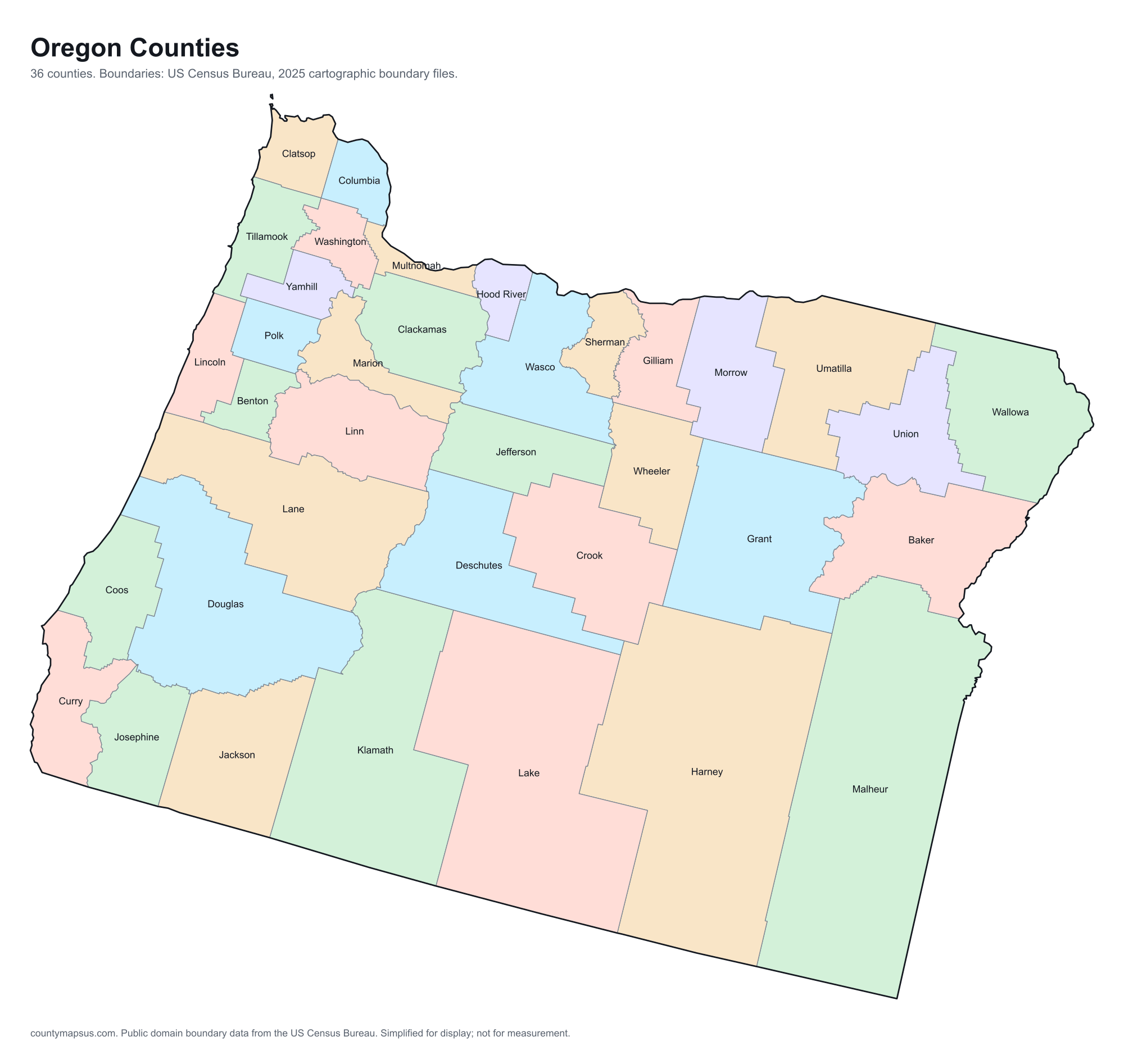
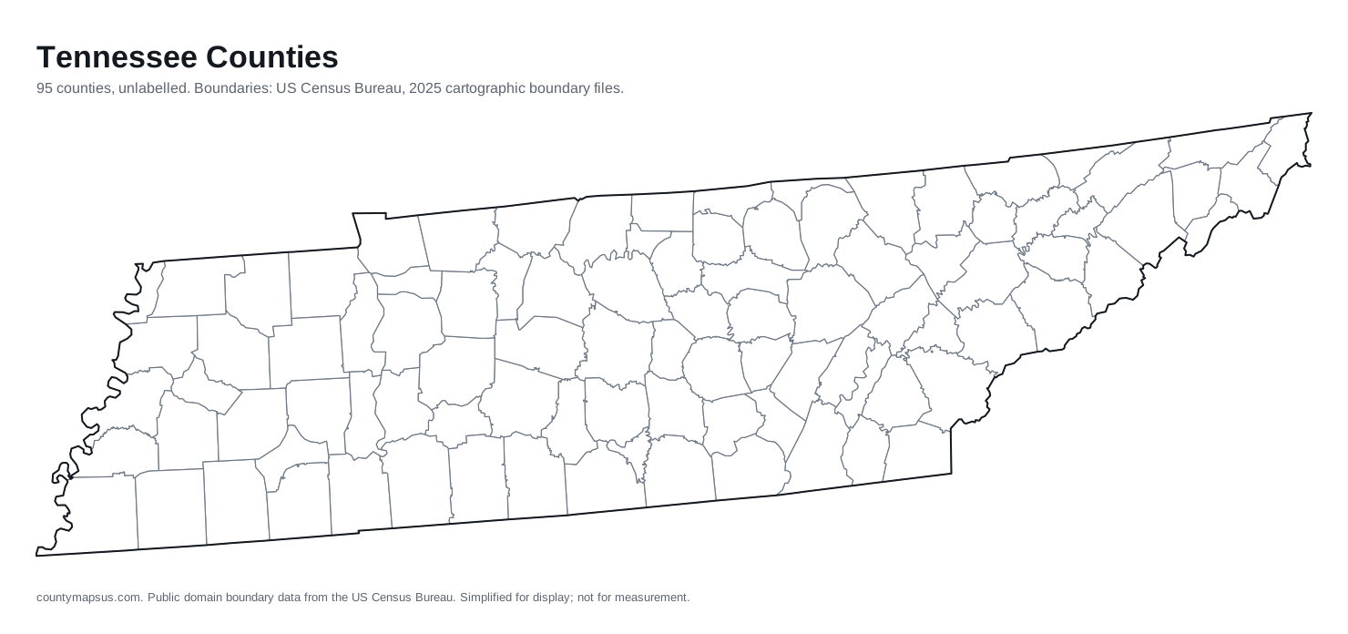
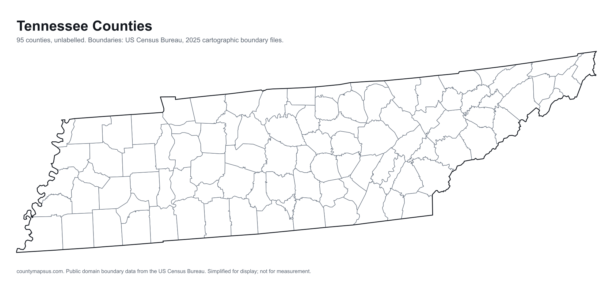
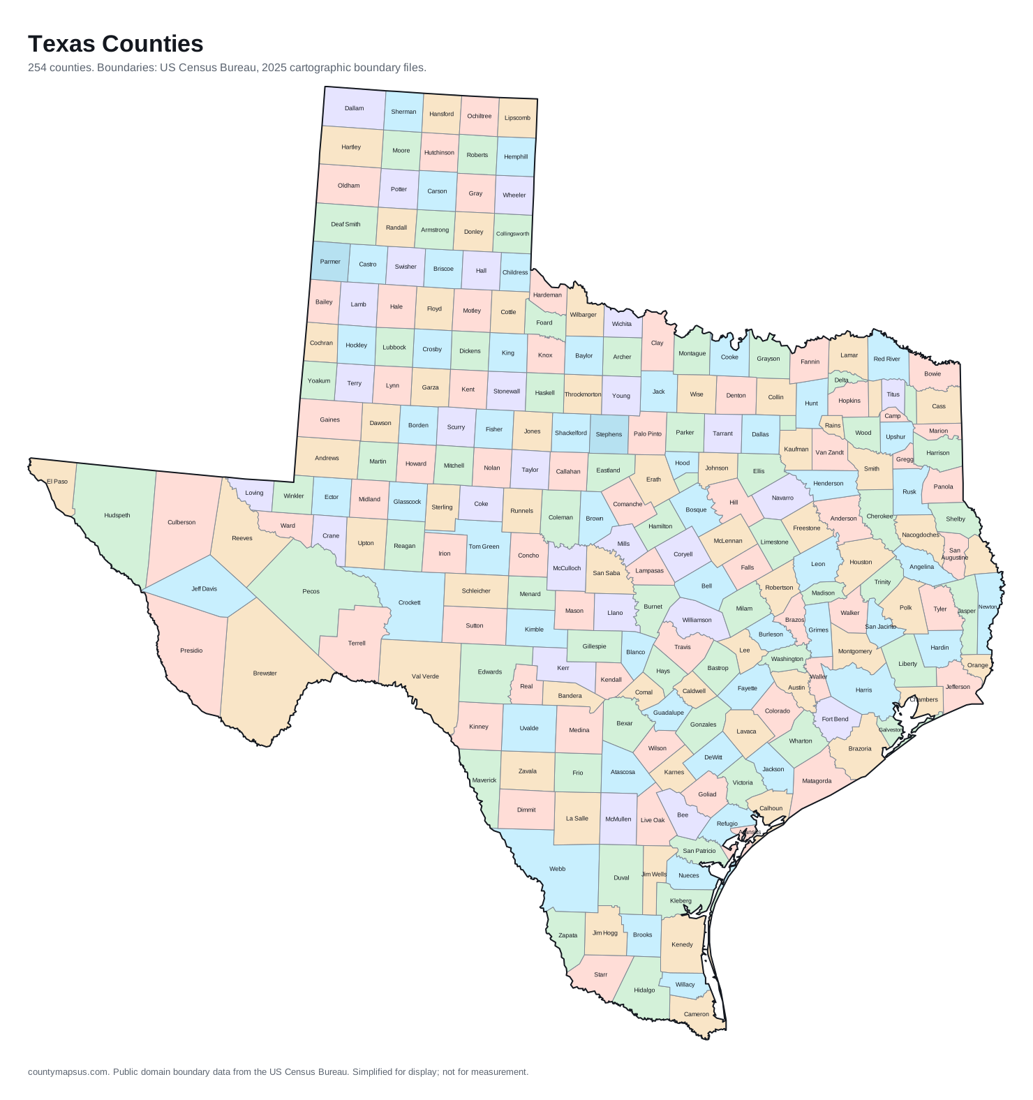
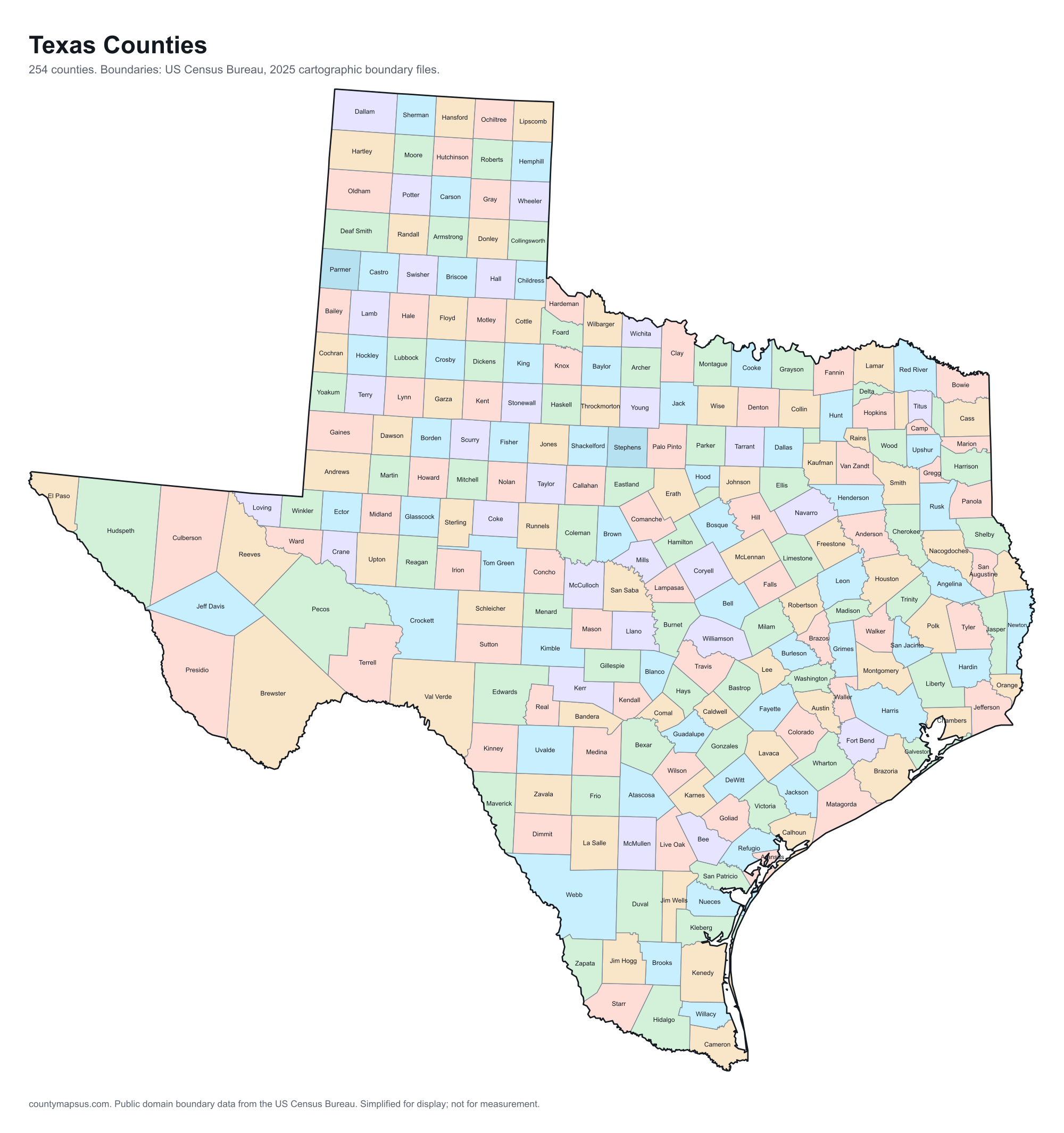
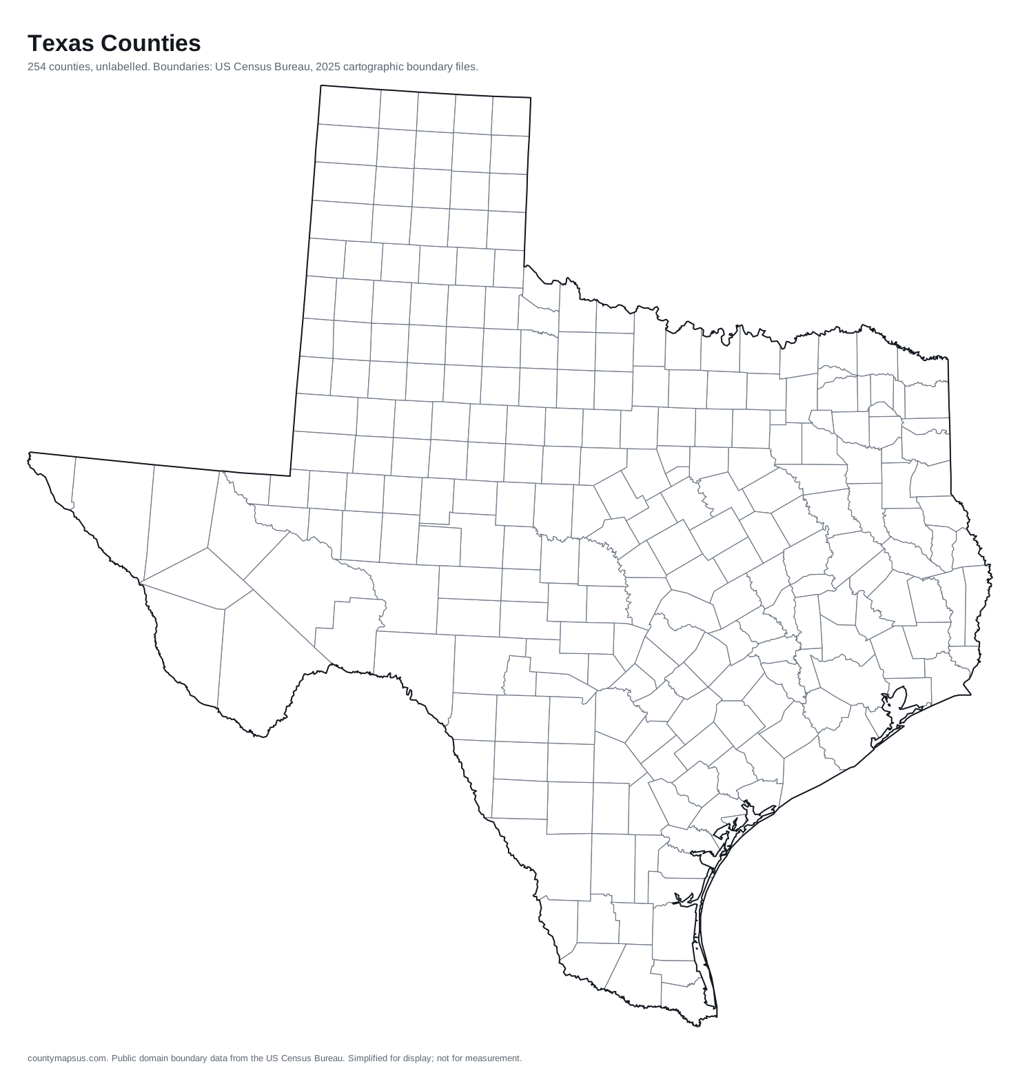
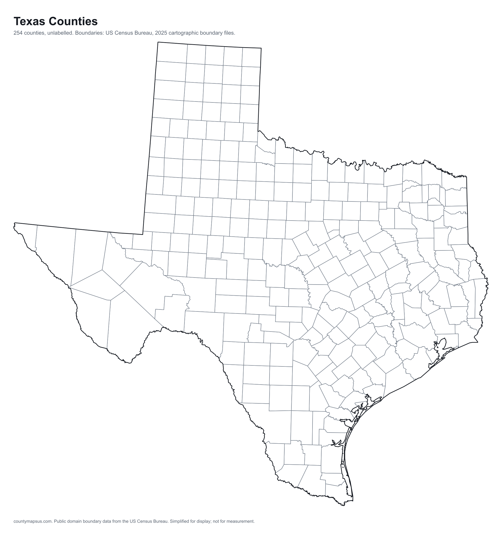
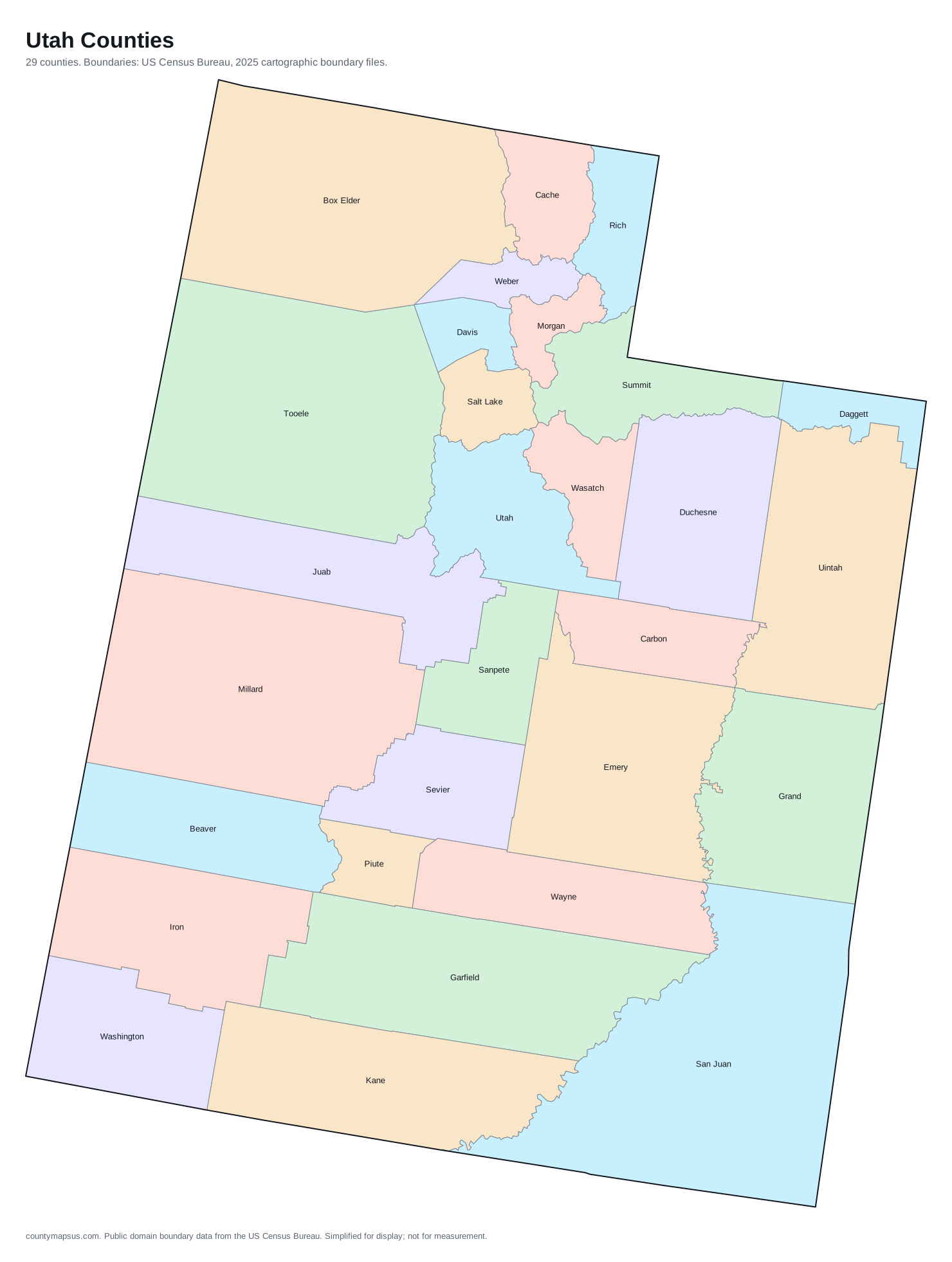
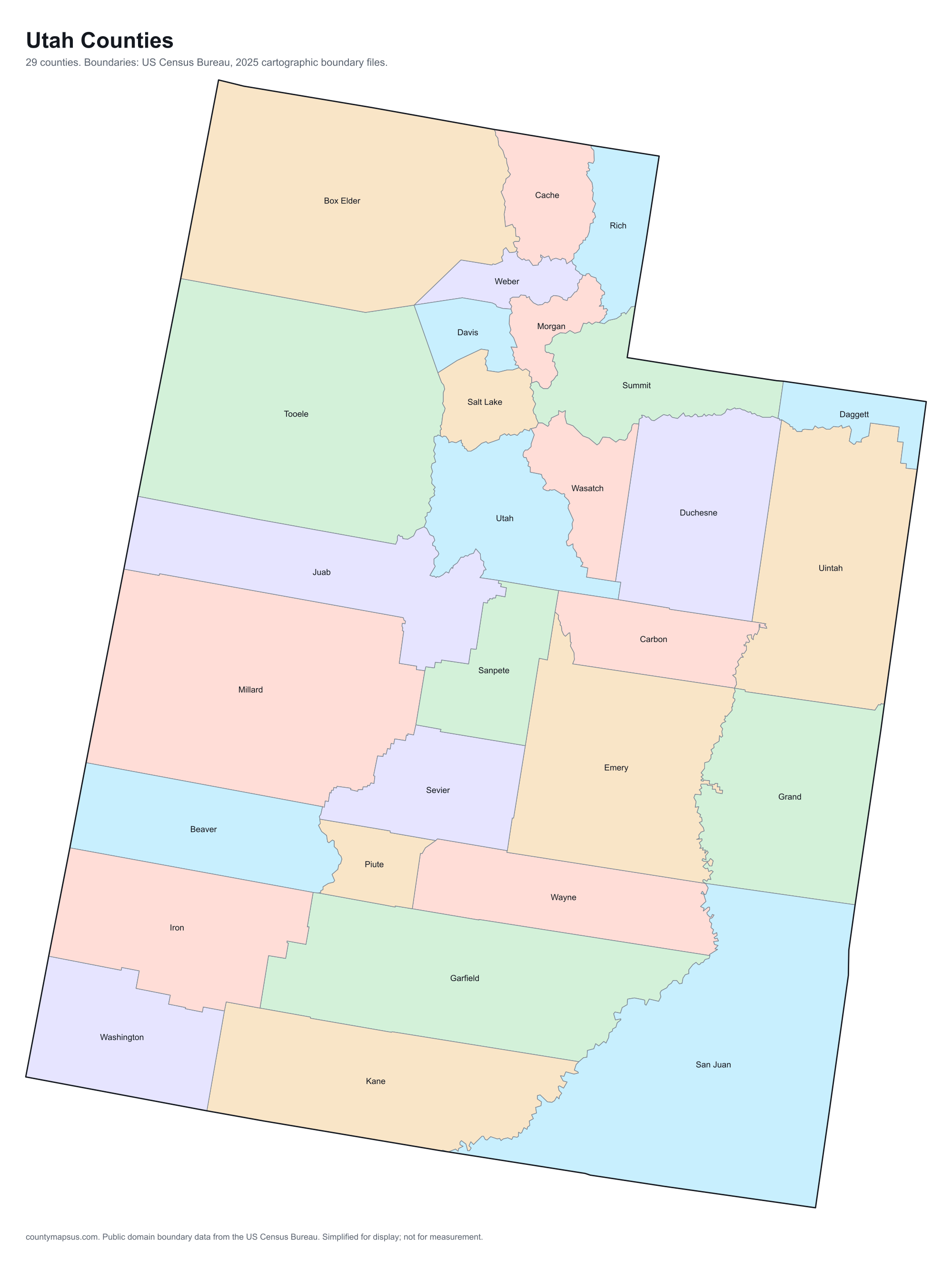
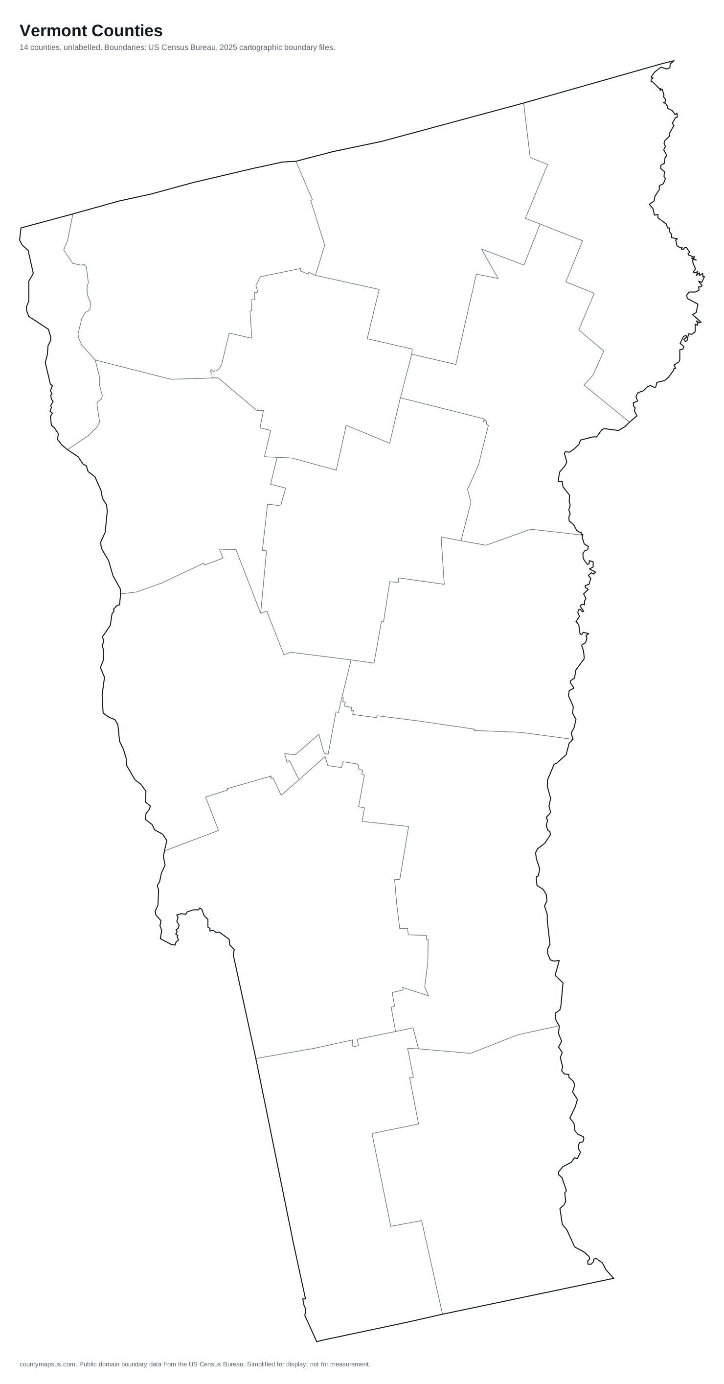
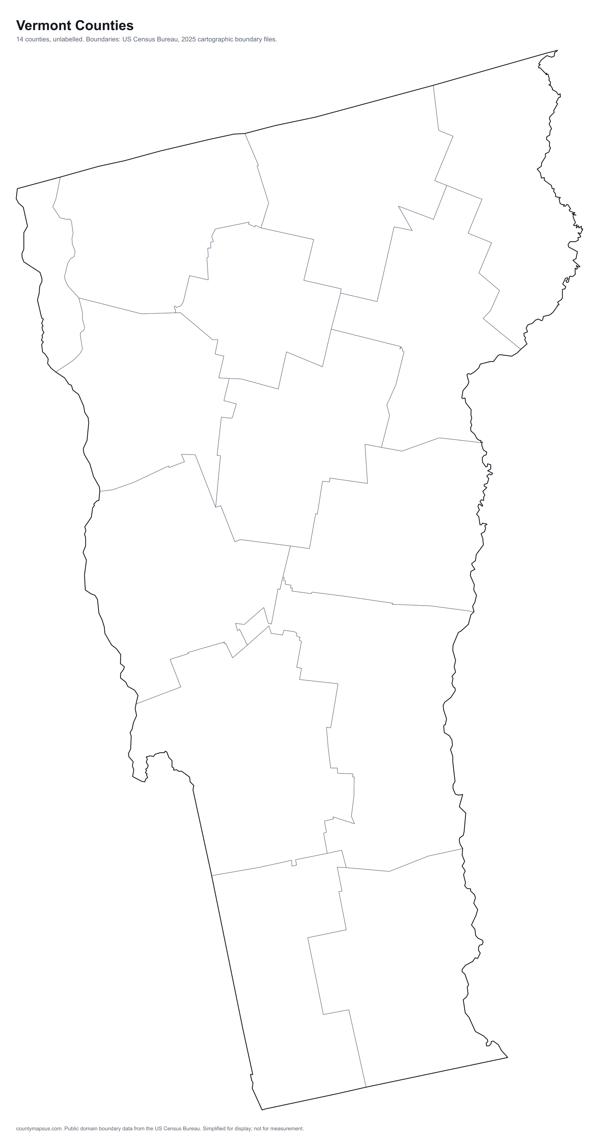
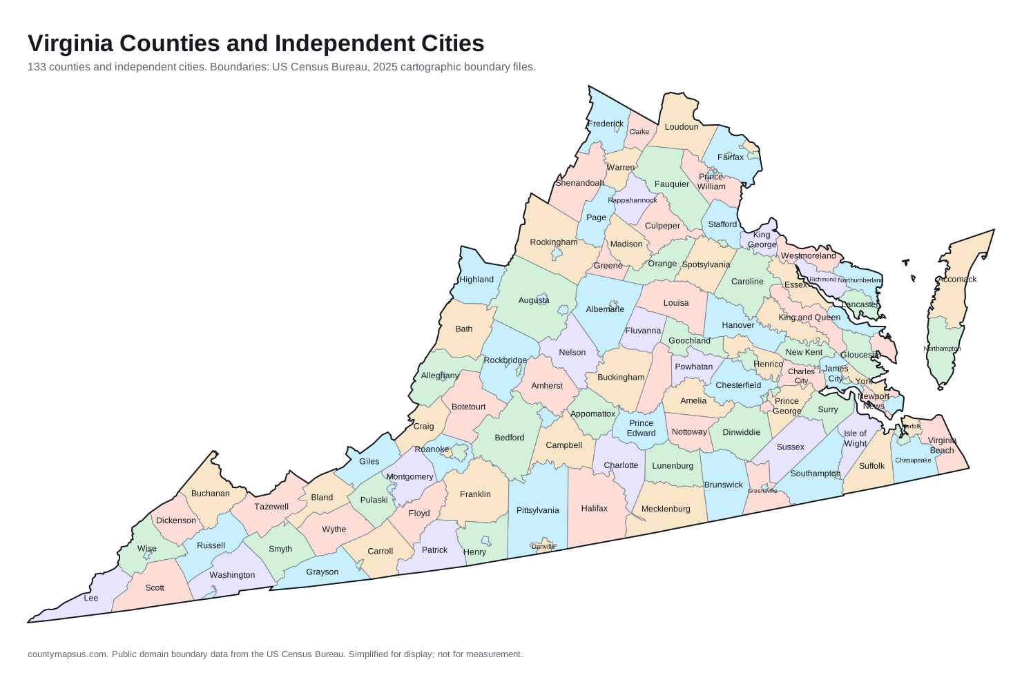
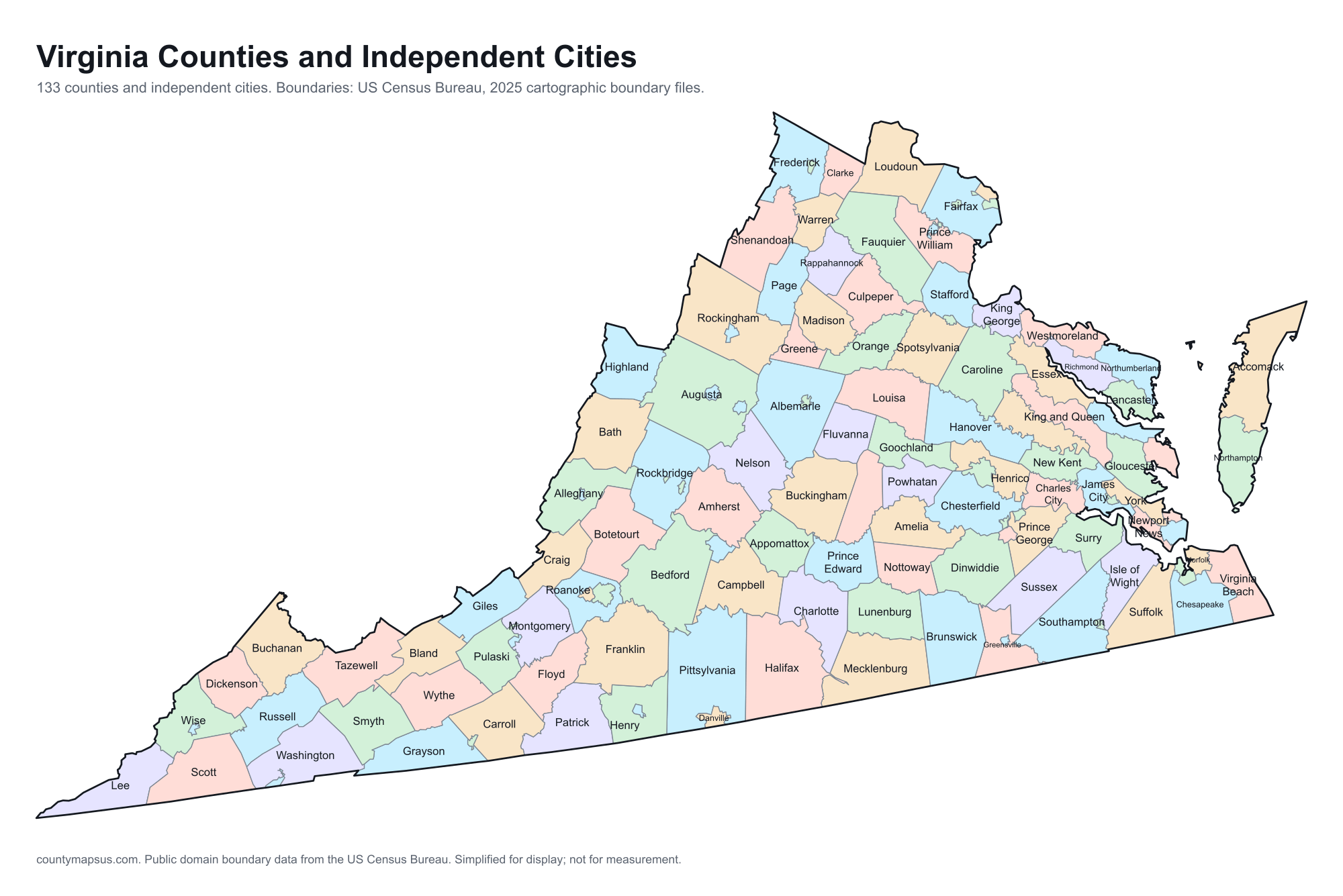
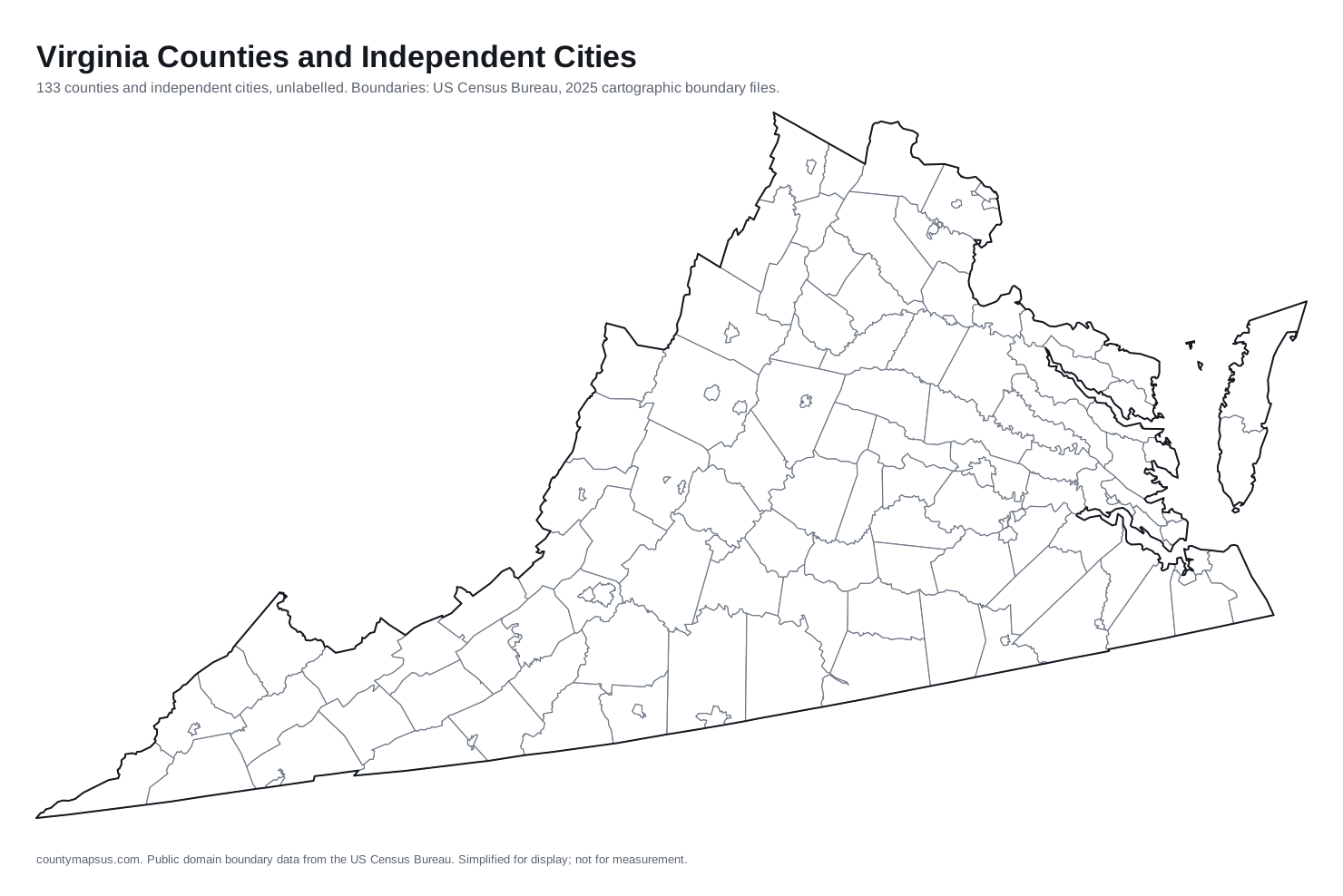
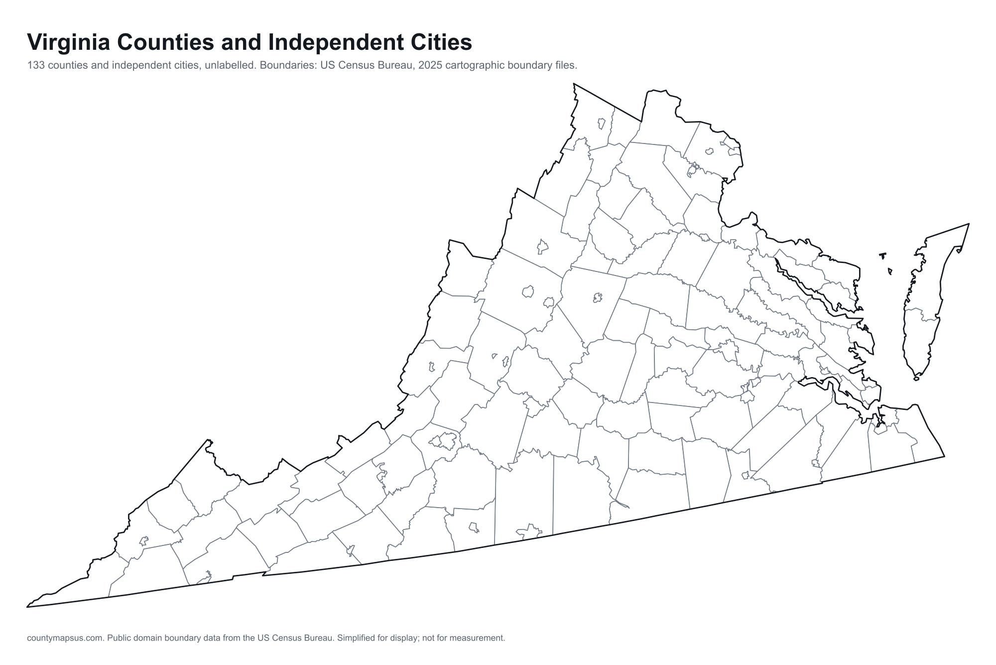
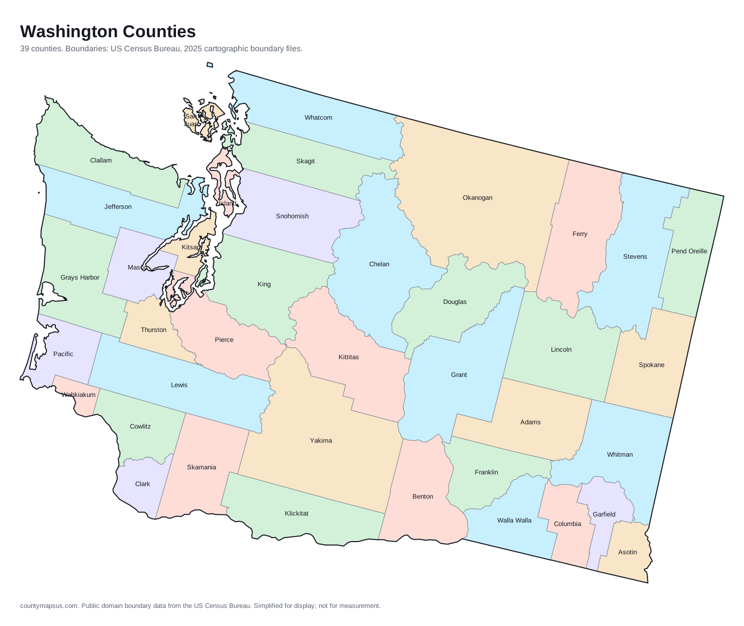
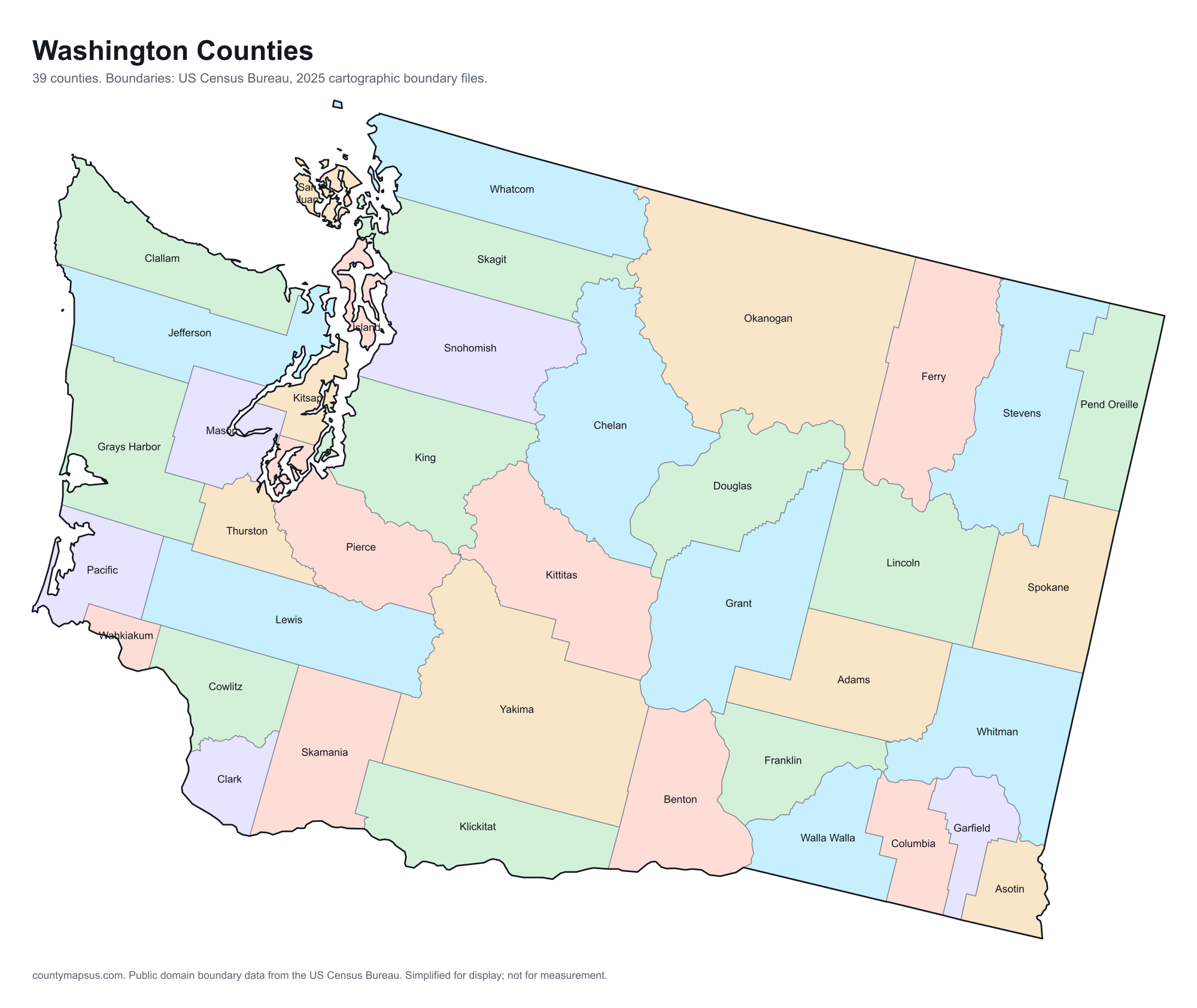
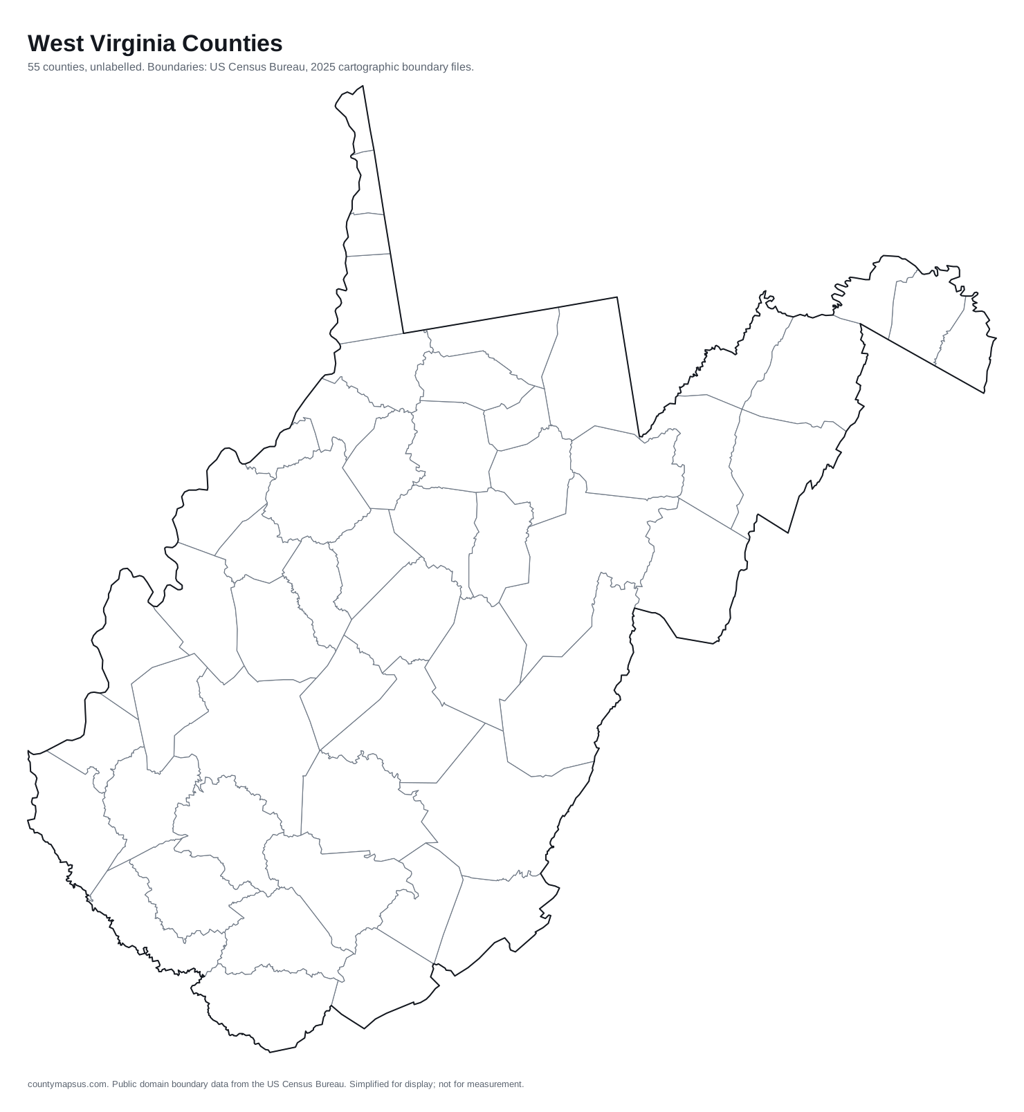
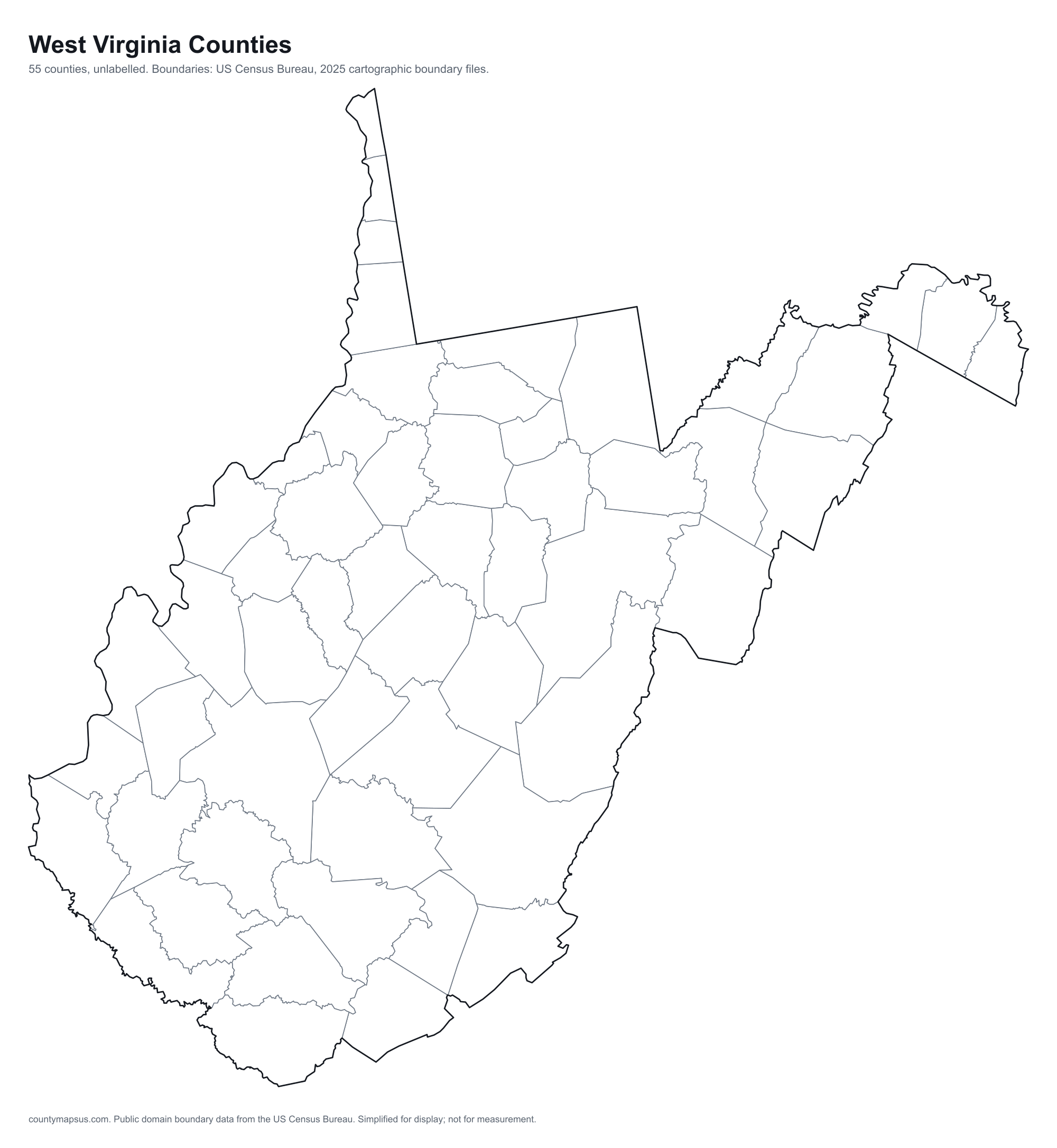
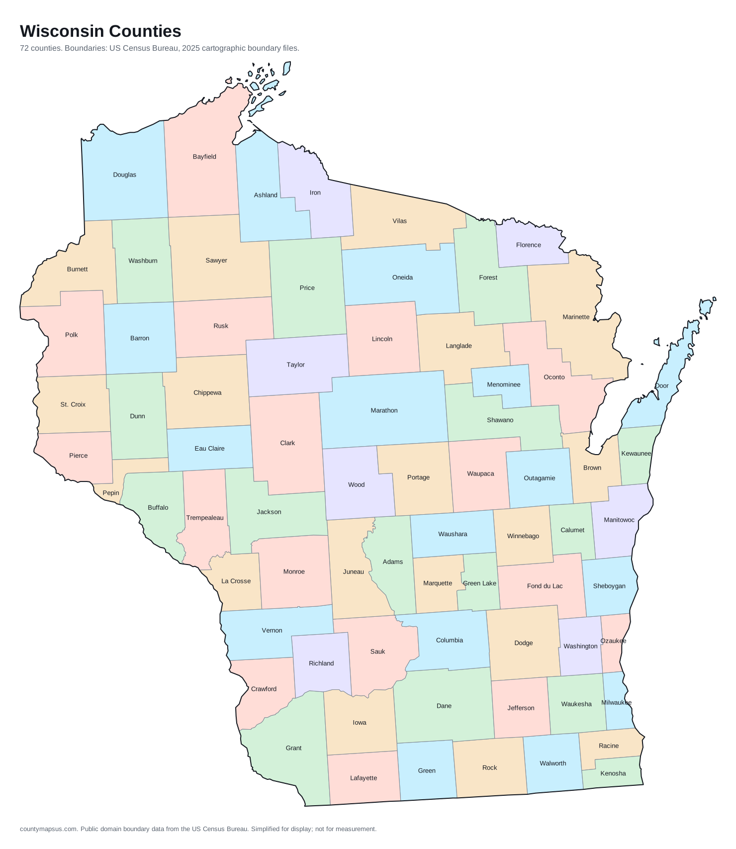
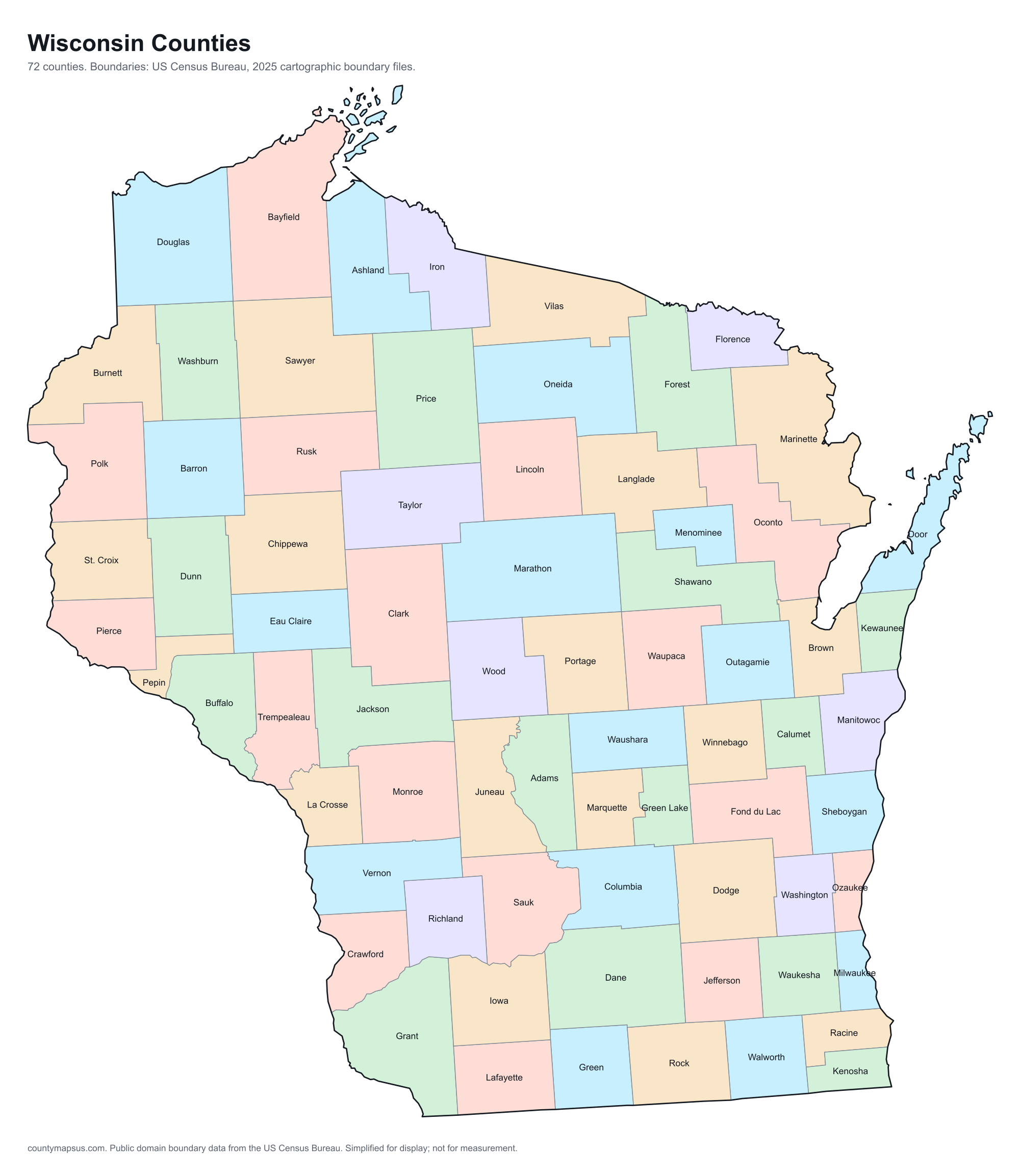
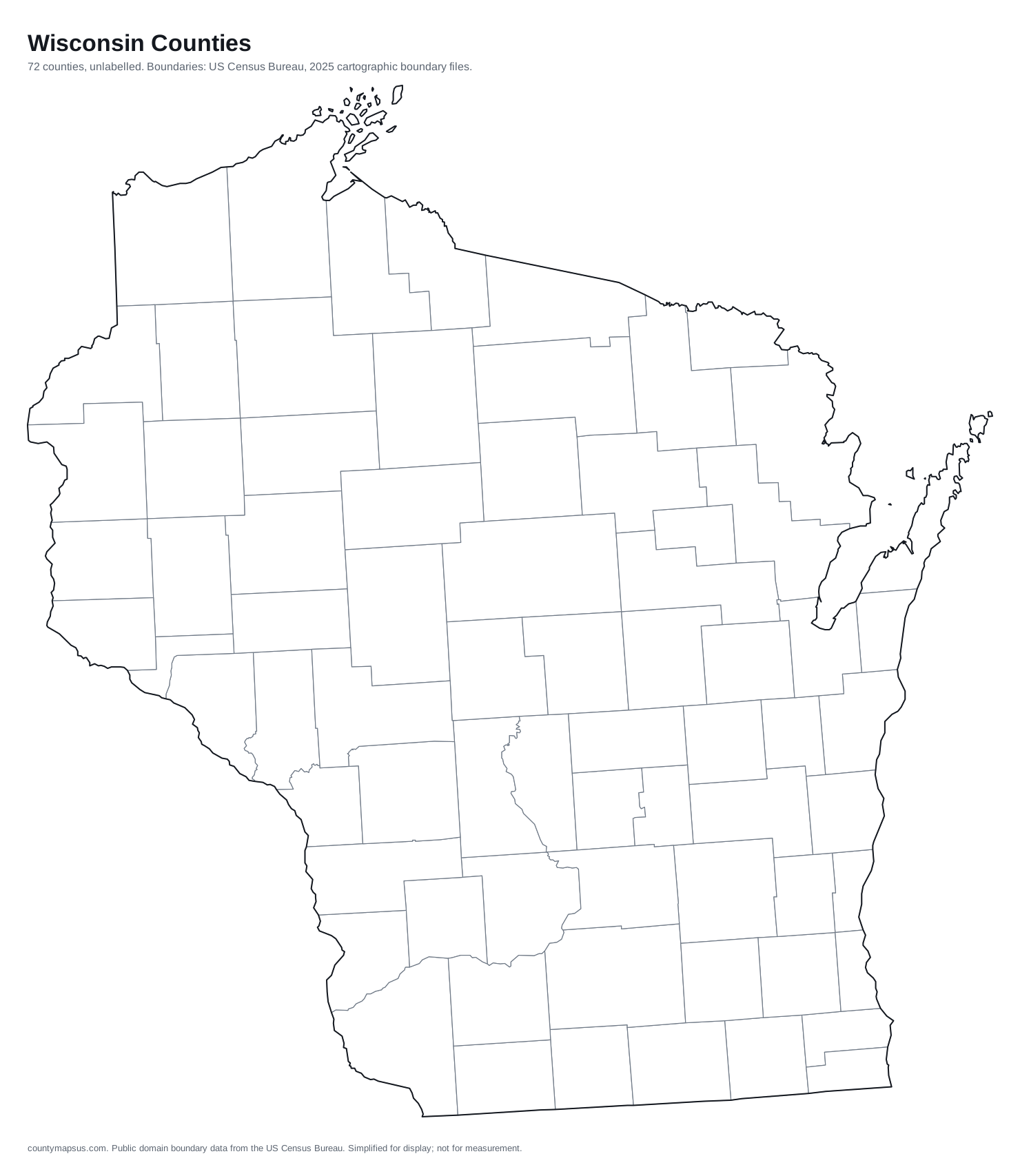
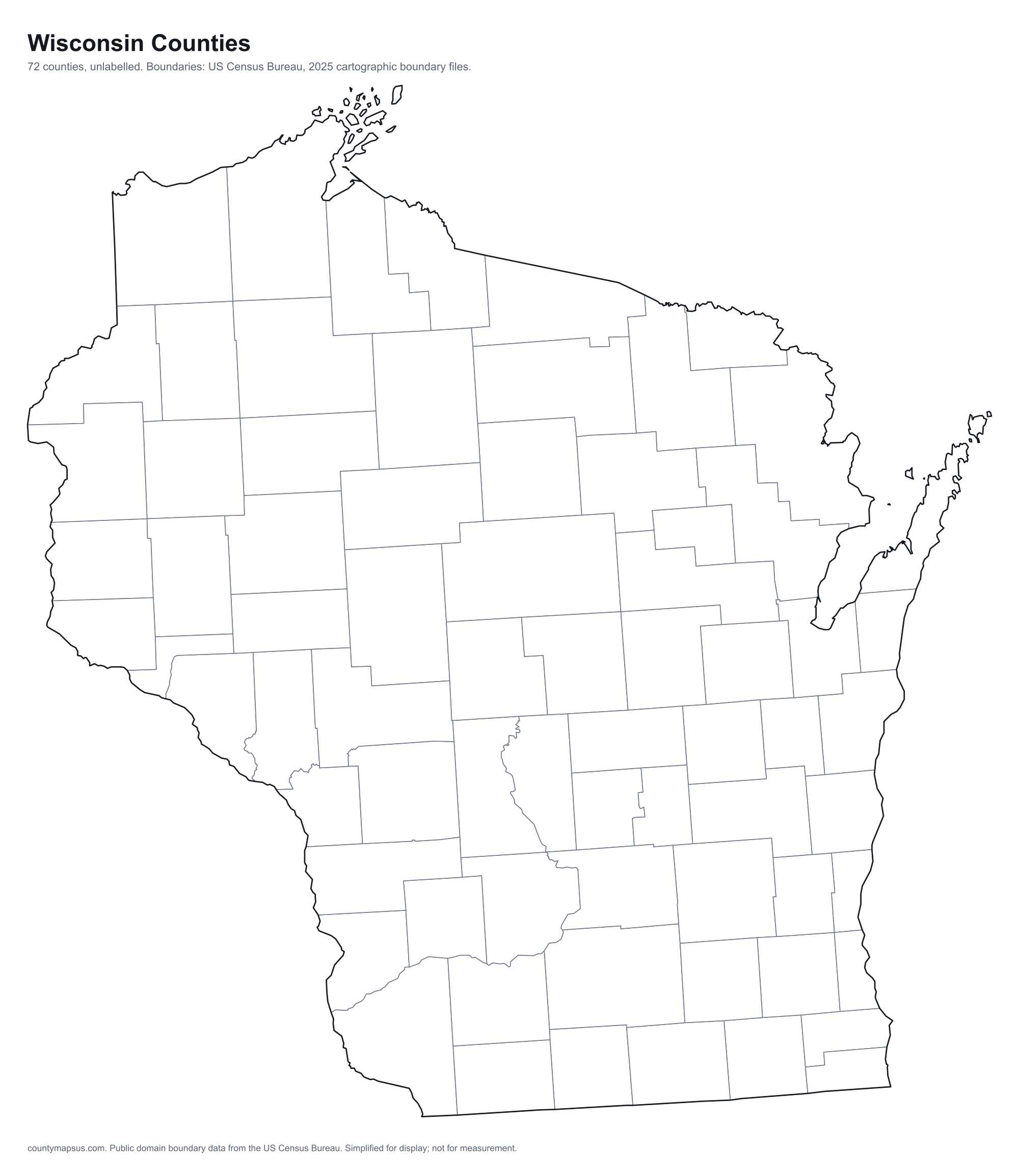
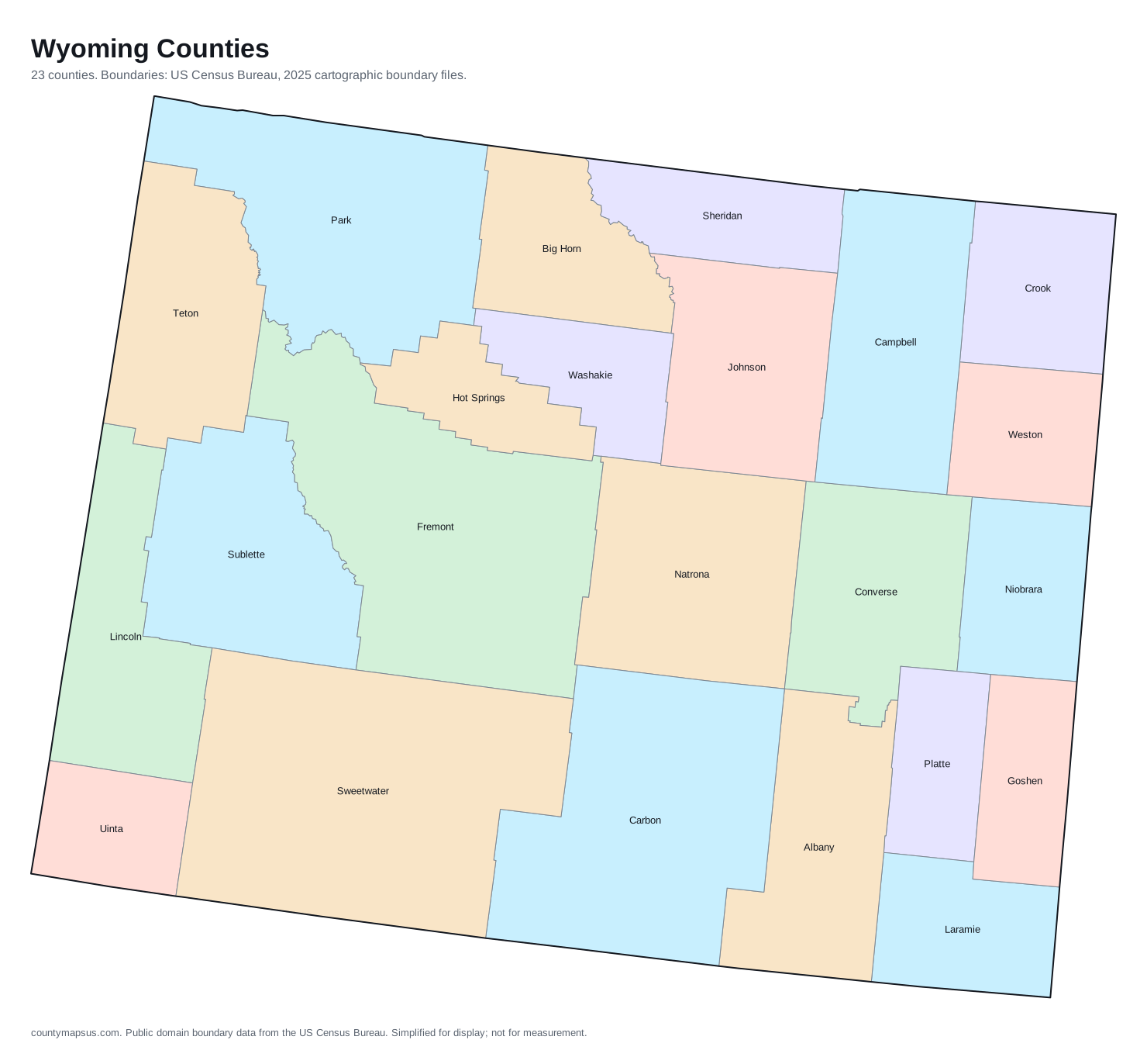
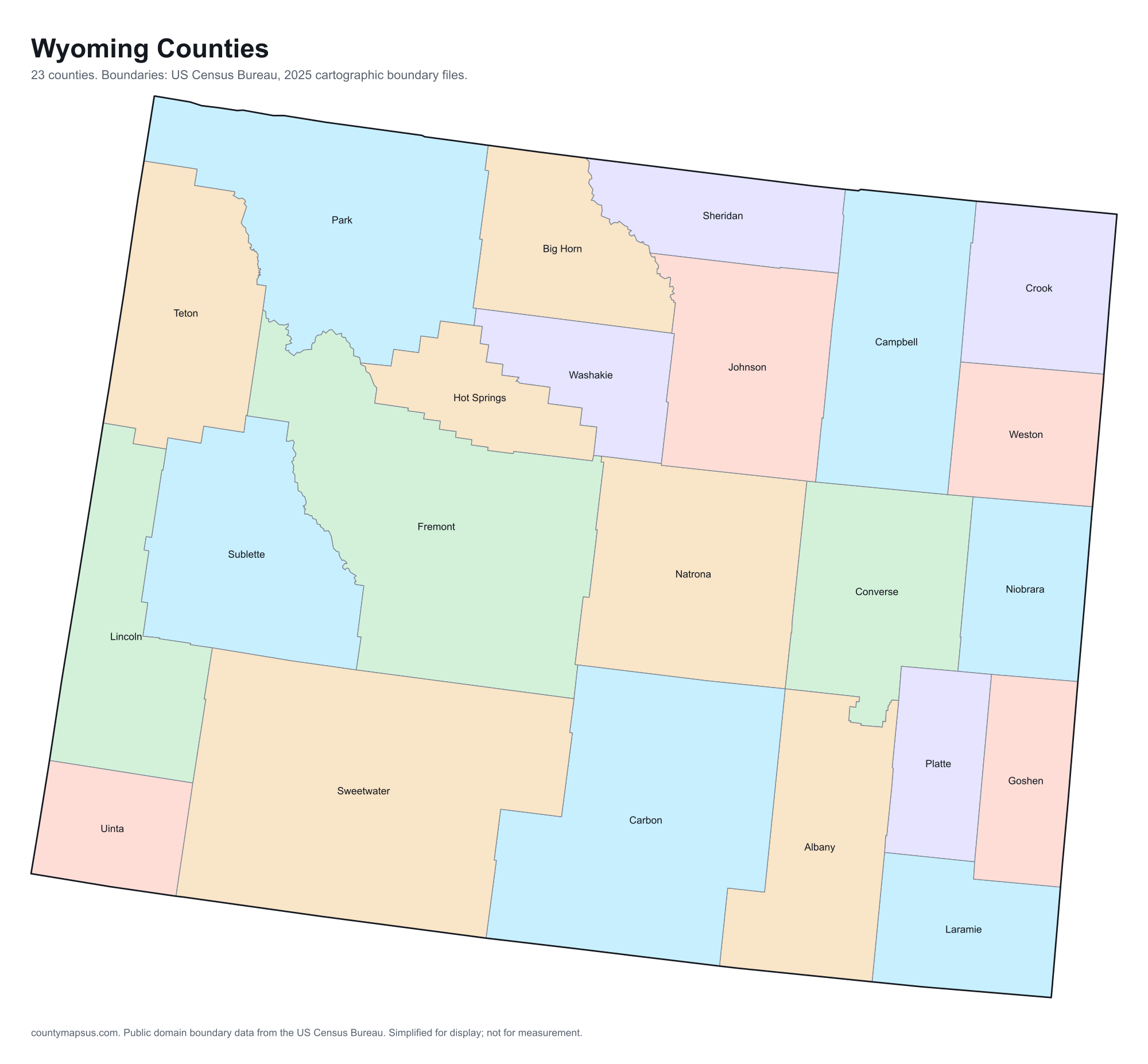
Five files per state: a labelled SVG, a blank SVG, a labelled PNG at 2,000 pixels wide, a blank PNG, and a print-ready PDF. The blank versions are outlines only, which is what you want for colouring, annotating or teaching. The labelled versions carry the county name inside every county large enough to hold one, which on most states is all of them.
Boundaries come from the US Census Bureau's 2025 cartographic boundary files and are in the public domain. Attribution to County Maps US is appreciated and not required; crediting the Census Bureau as the origin of the boundaries is the part that matters.
The national map
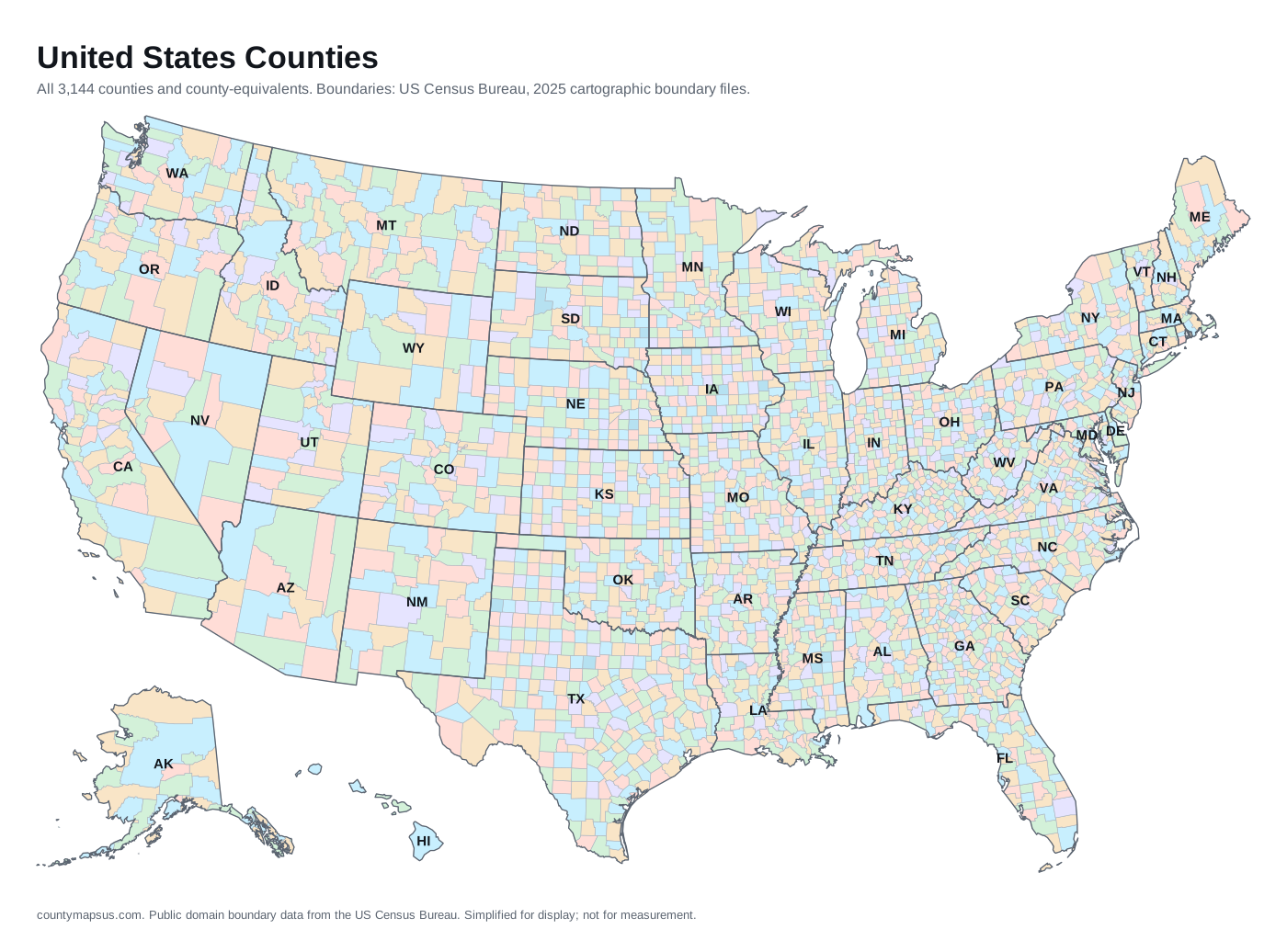
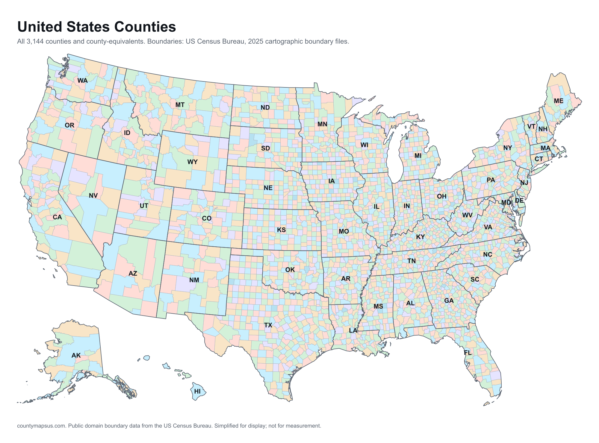
All 3,144 counties and county-equivalents in one frame, with state outlines and two-letter codes on top. No page on this site renders this map live, because three thousand shapes in one HTML response is a weight problem; as a file it has no such constraint.SVG, PNG at 2,000 pixels, or print-ready PDF.
County maps
Every one of the 3,144 county pages carries a download of its own map: the county's shape, its name, its population, land area and seat, and a locator showing where it sits in its state. The SVG is a file; the PNG is rendered in your browser from that SVG at 2,000 pixels, which is why it needs JavaScript and the SVG does not. Find any county through theA to Z index and the download sits directly under its map.
State maps
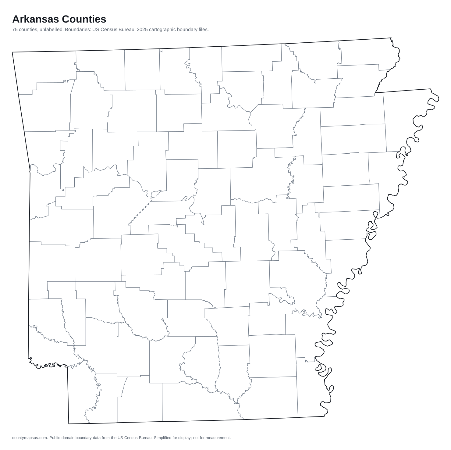
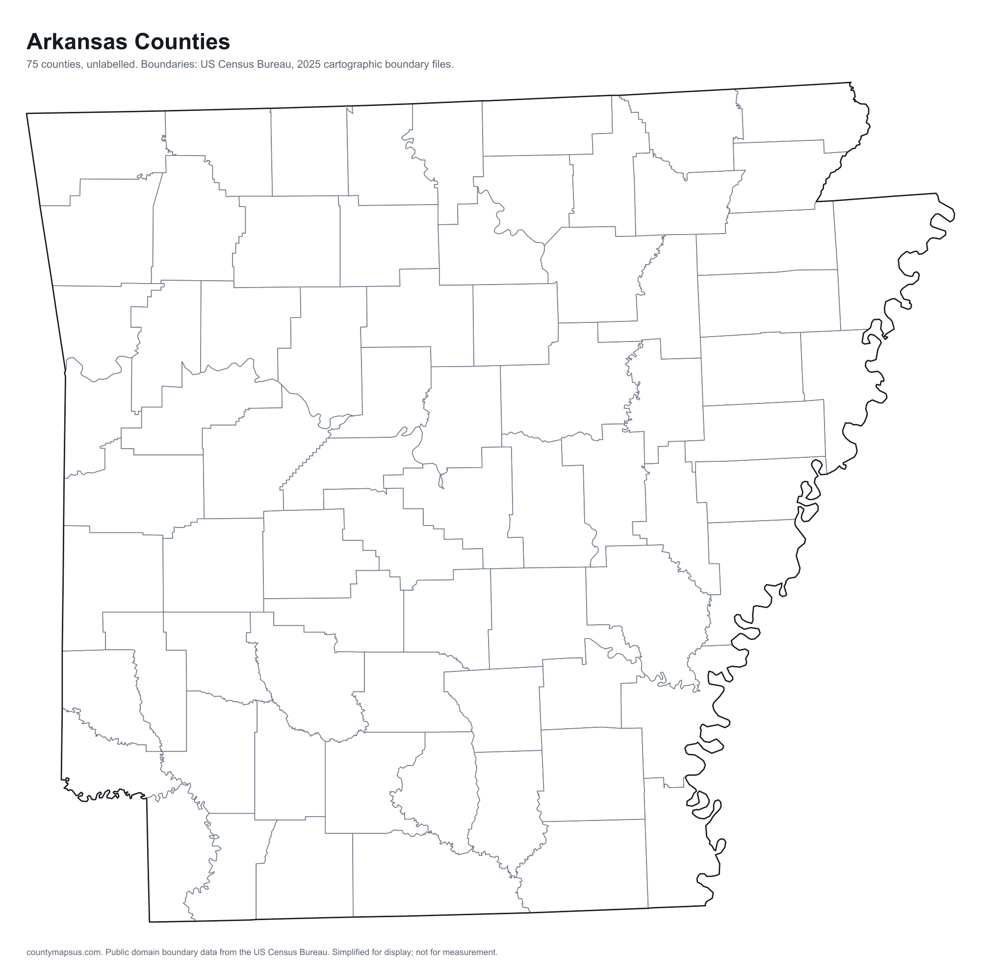
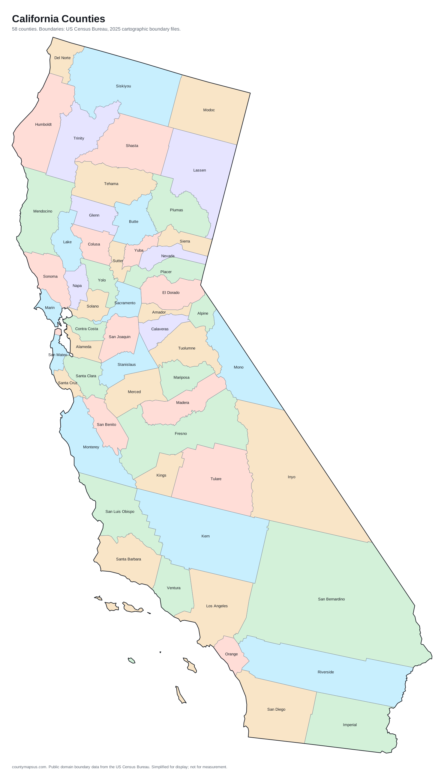
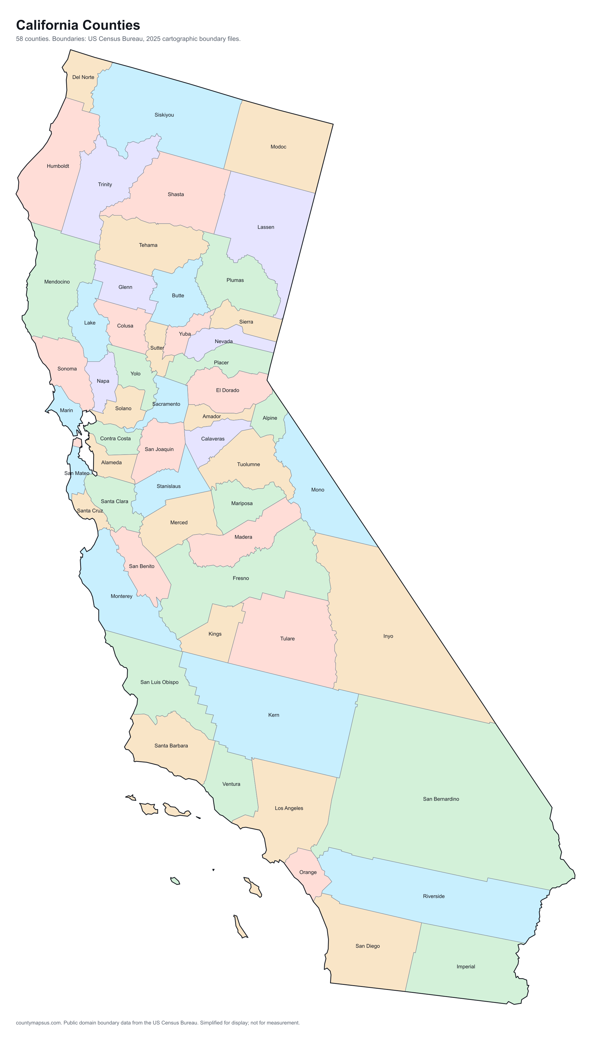
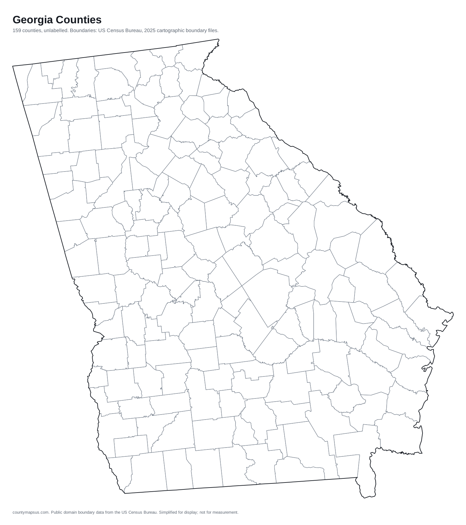
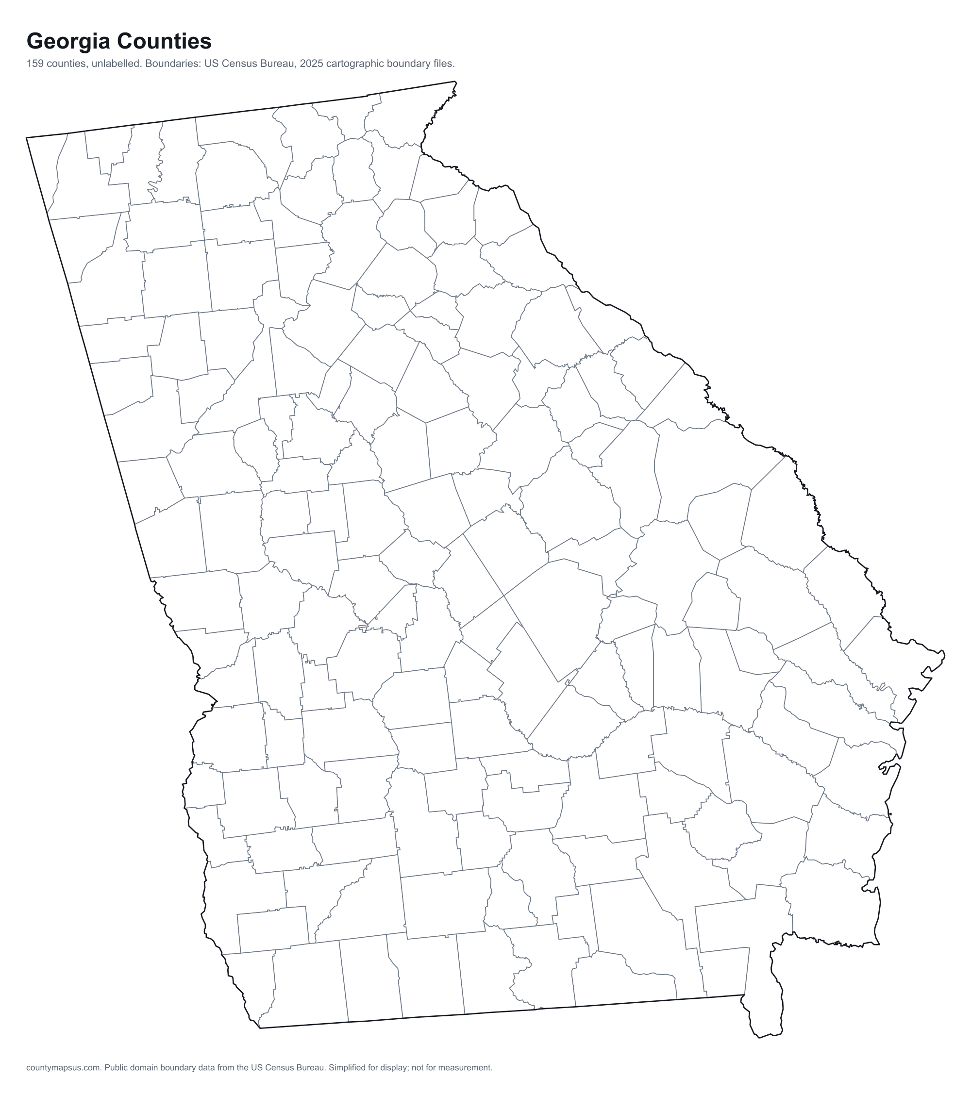
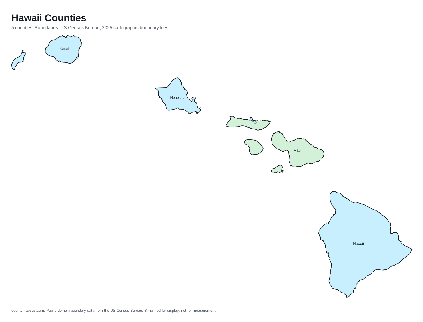
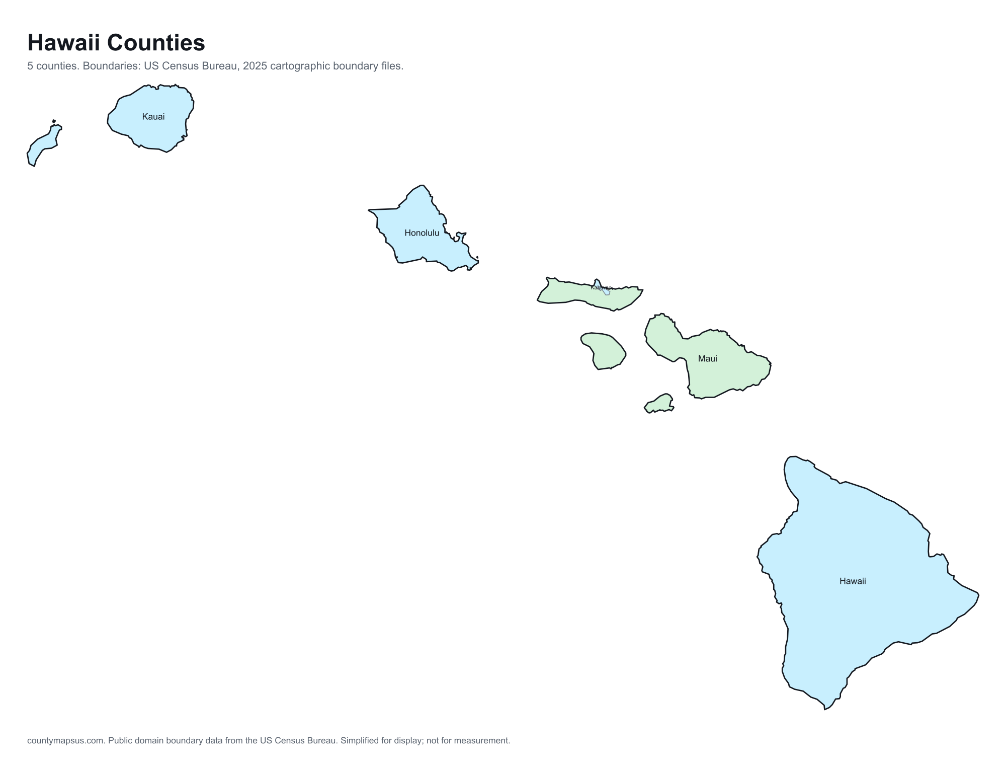
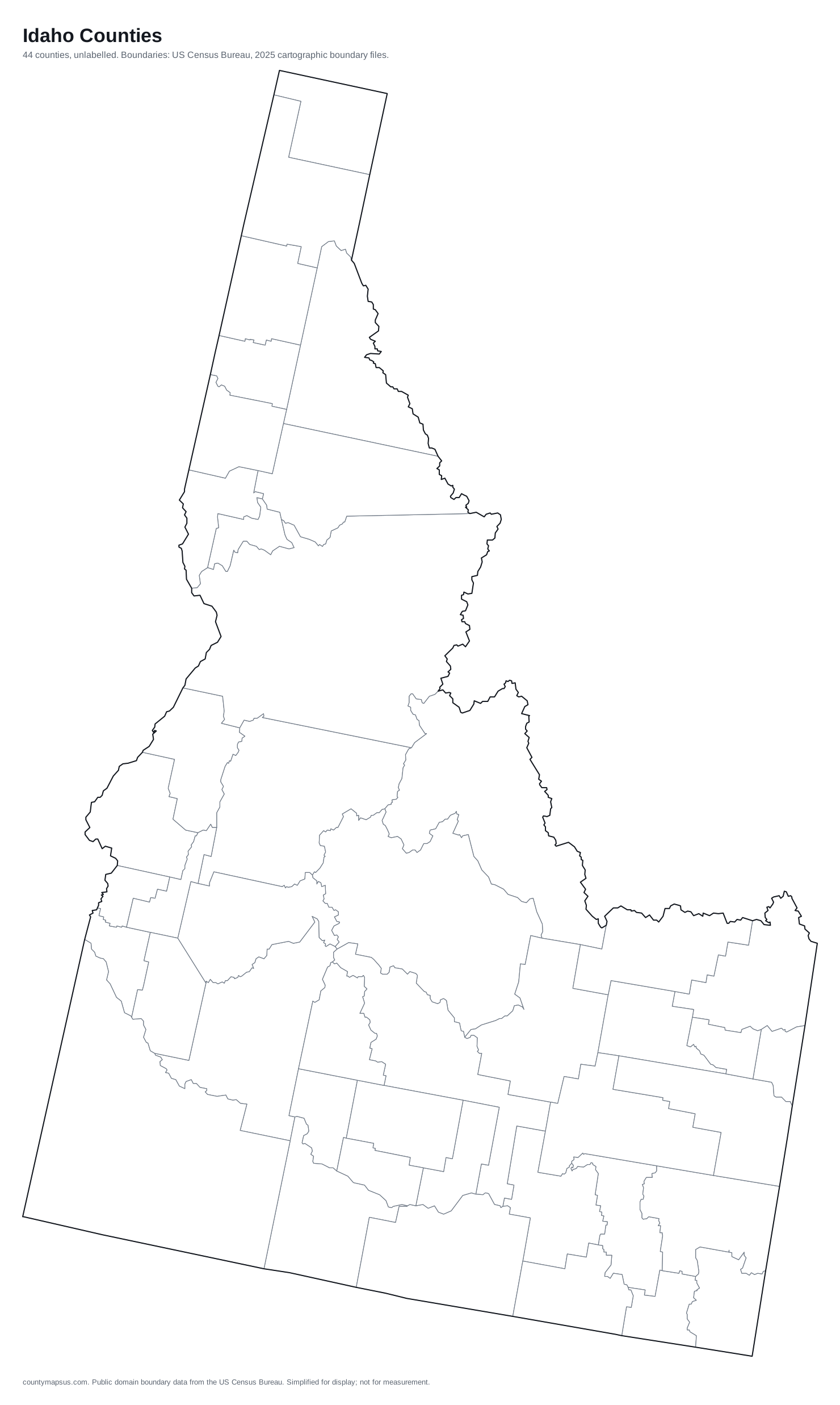
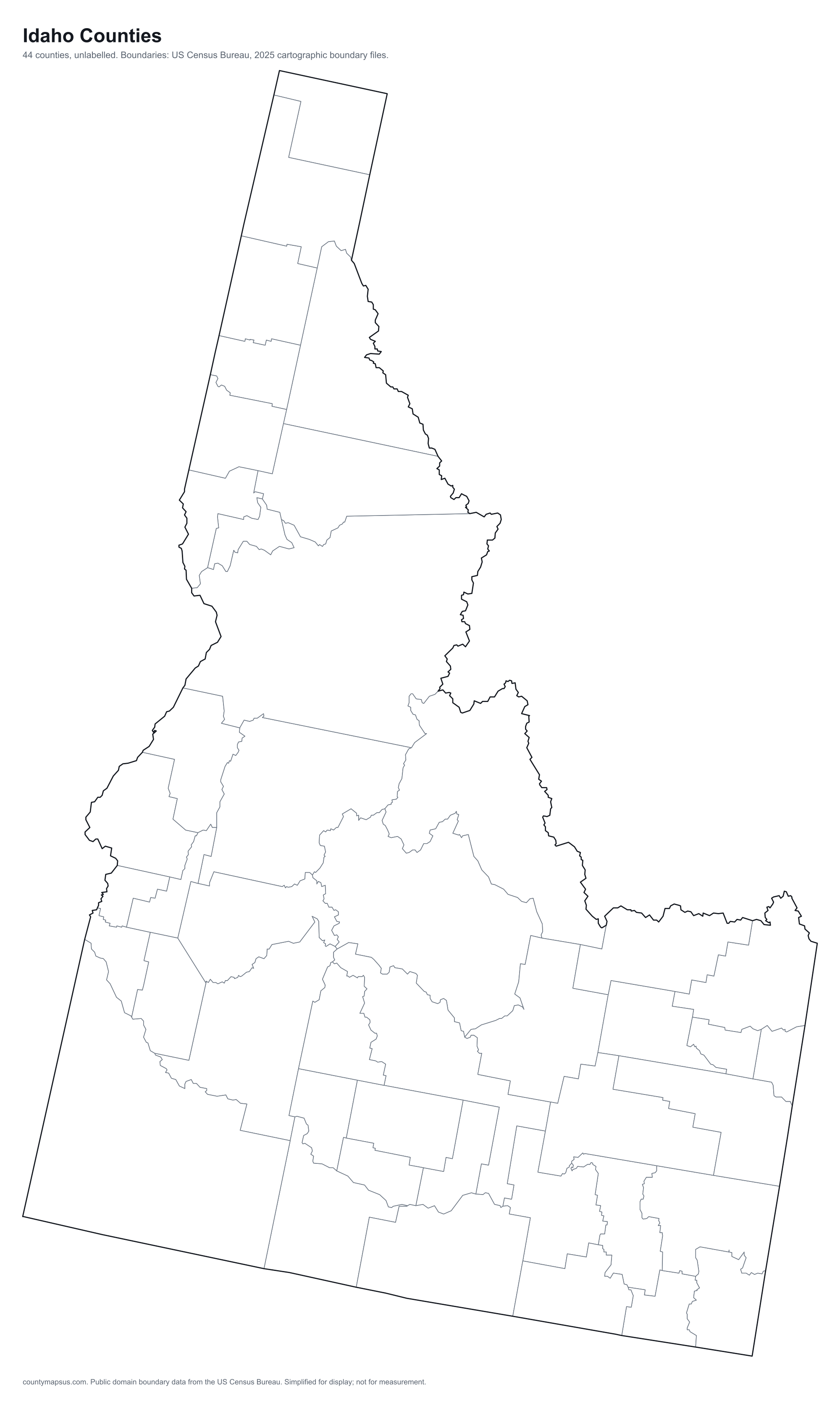
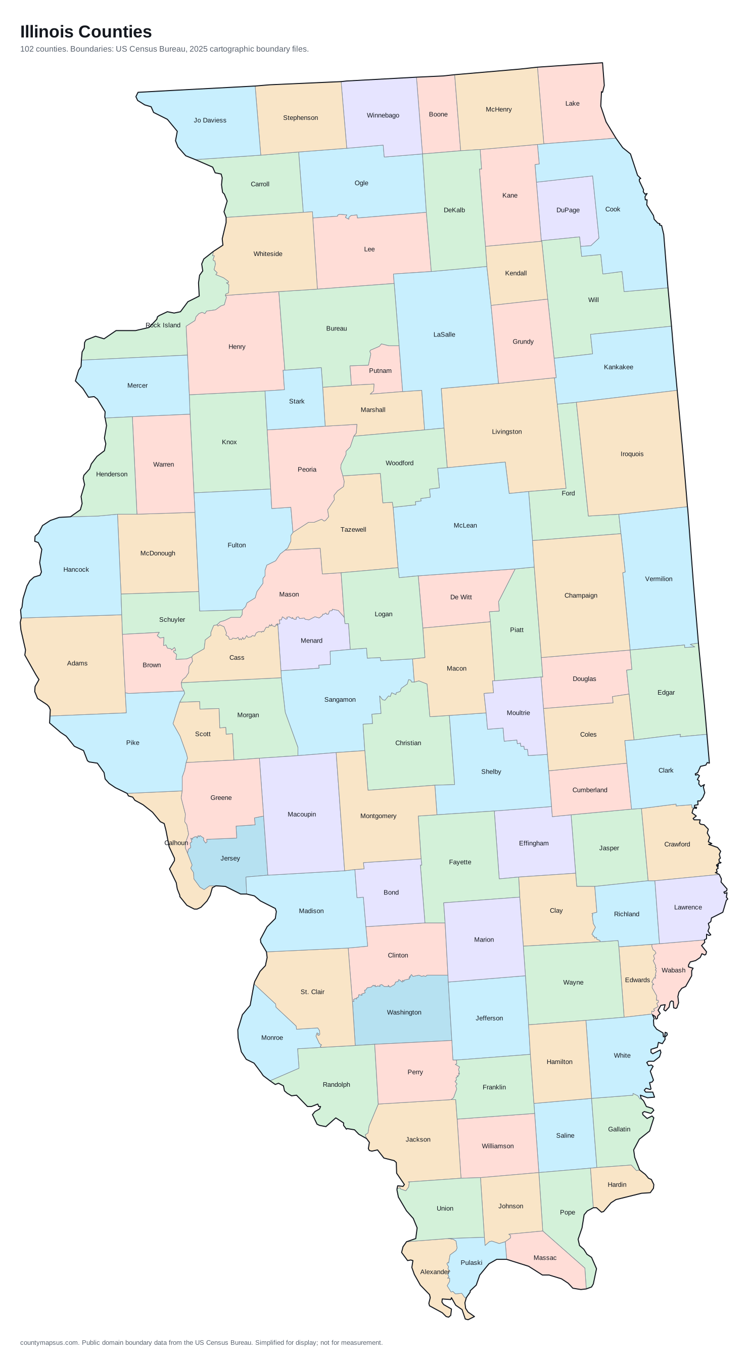
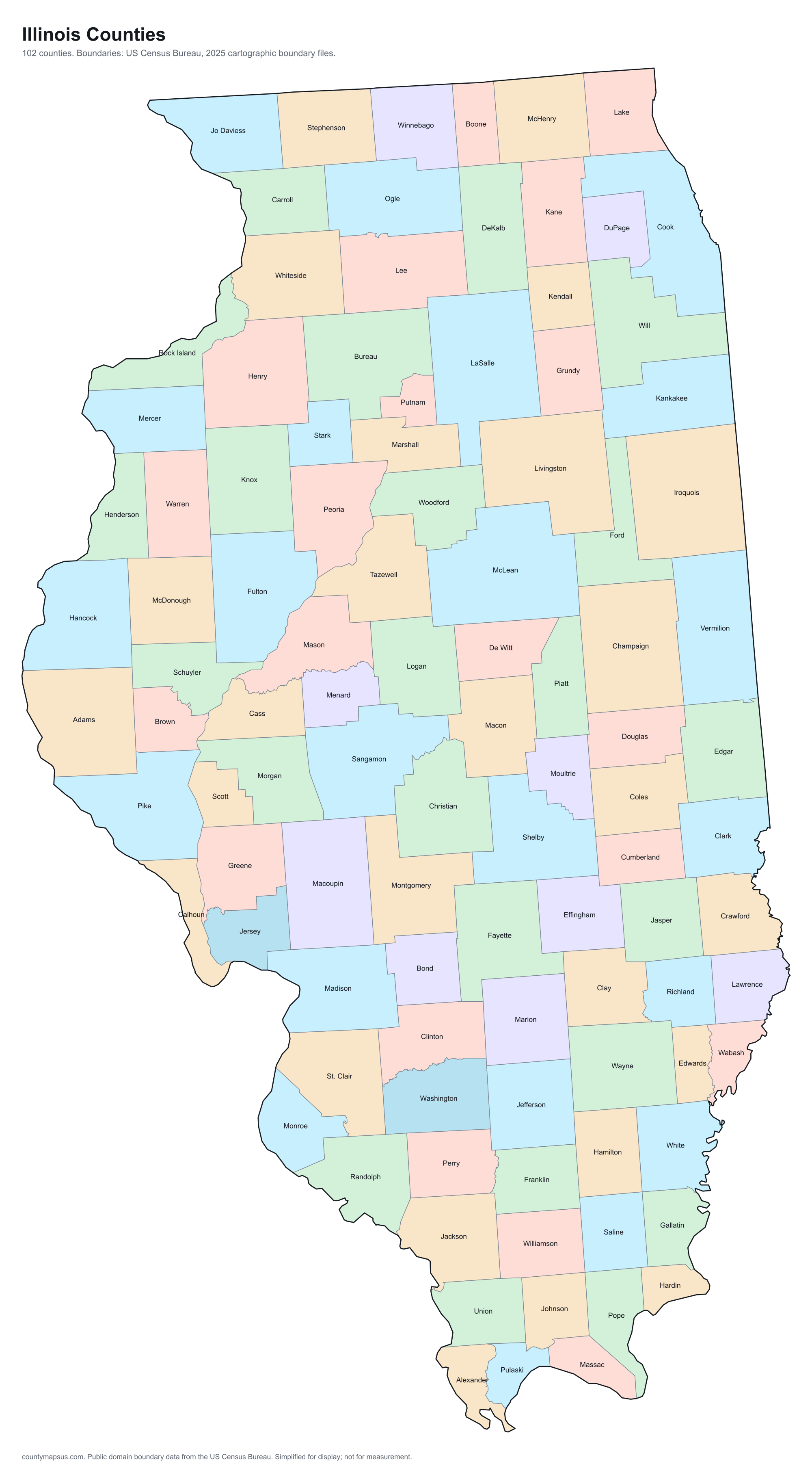
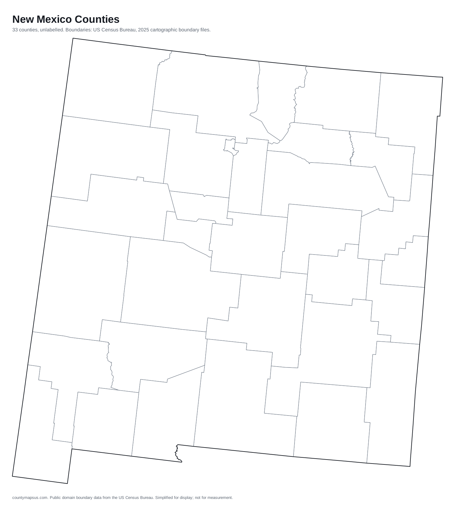
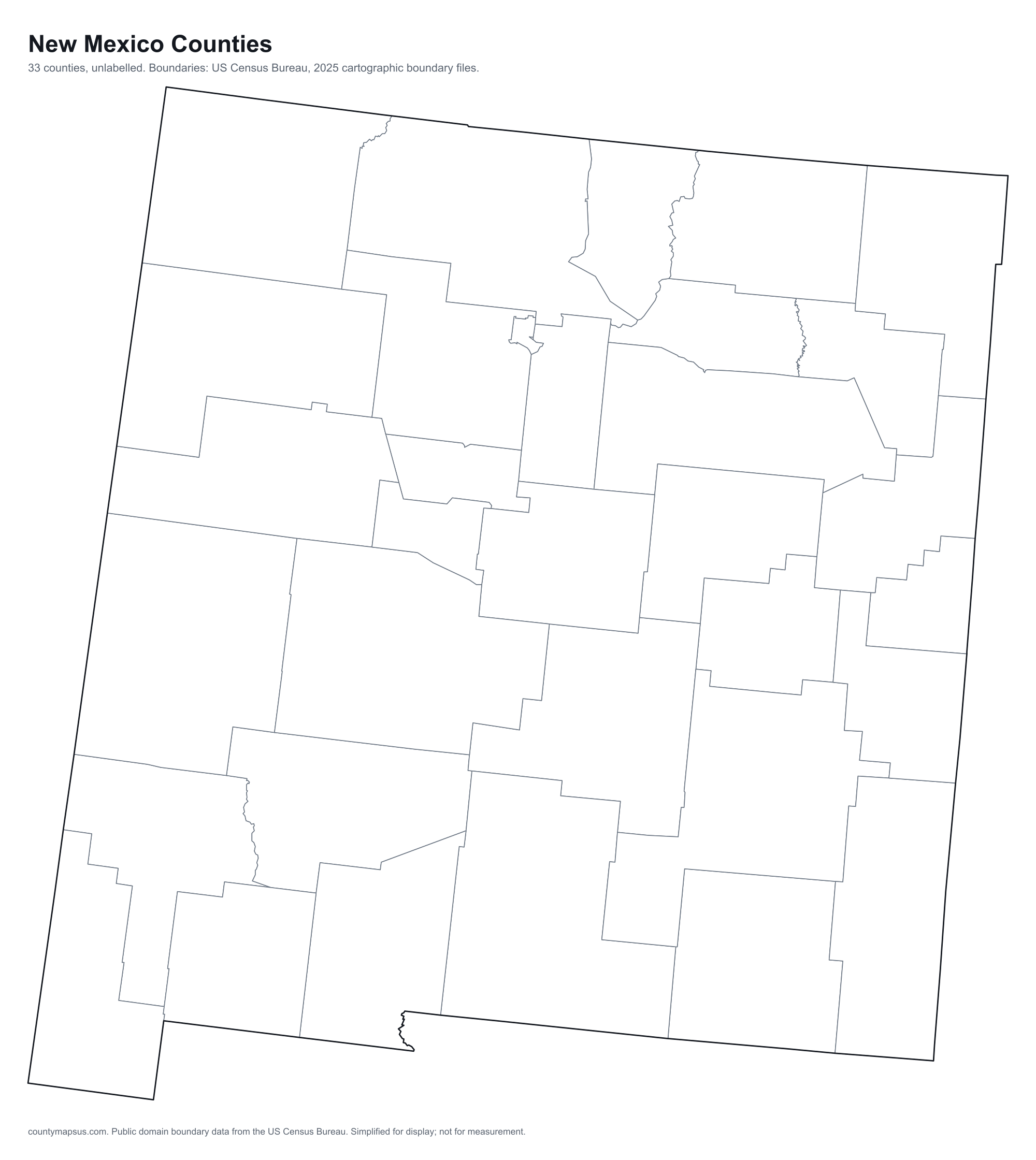
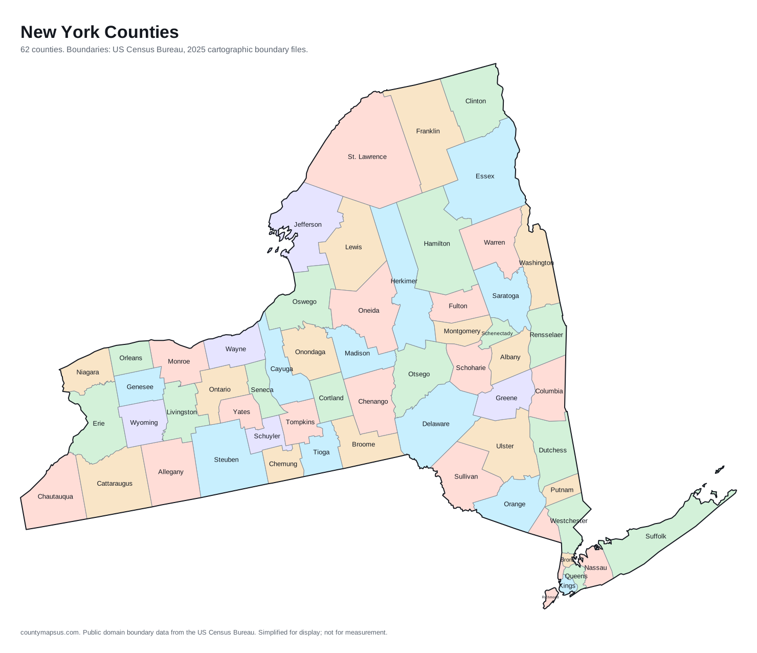
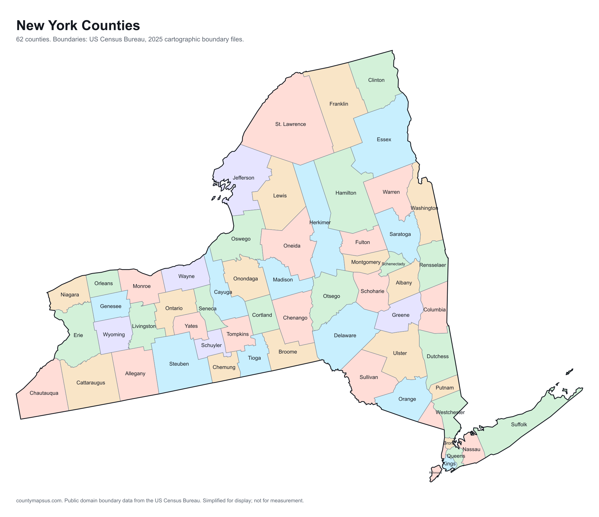
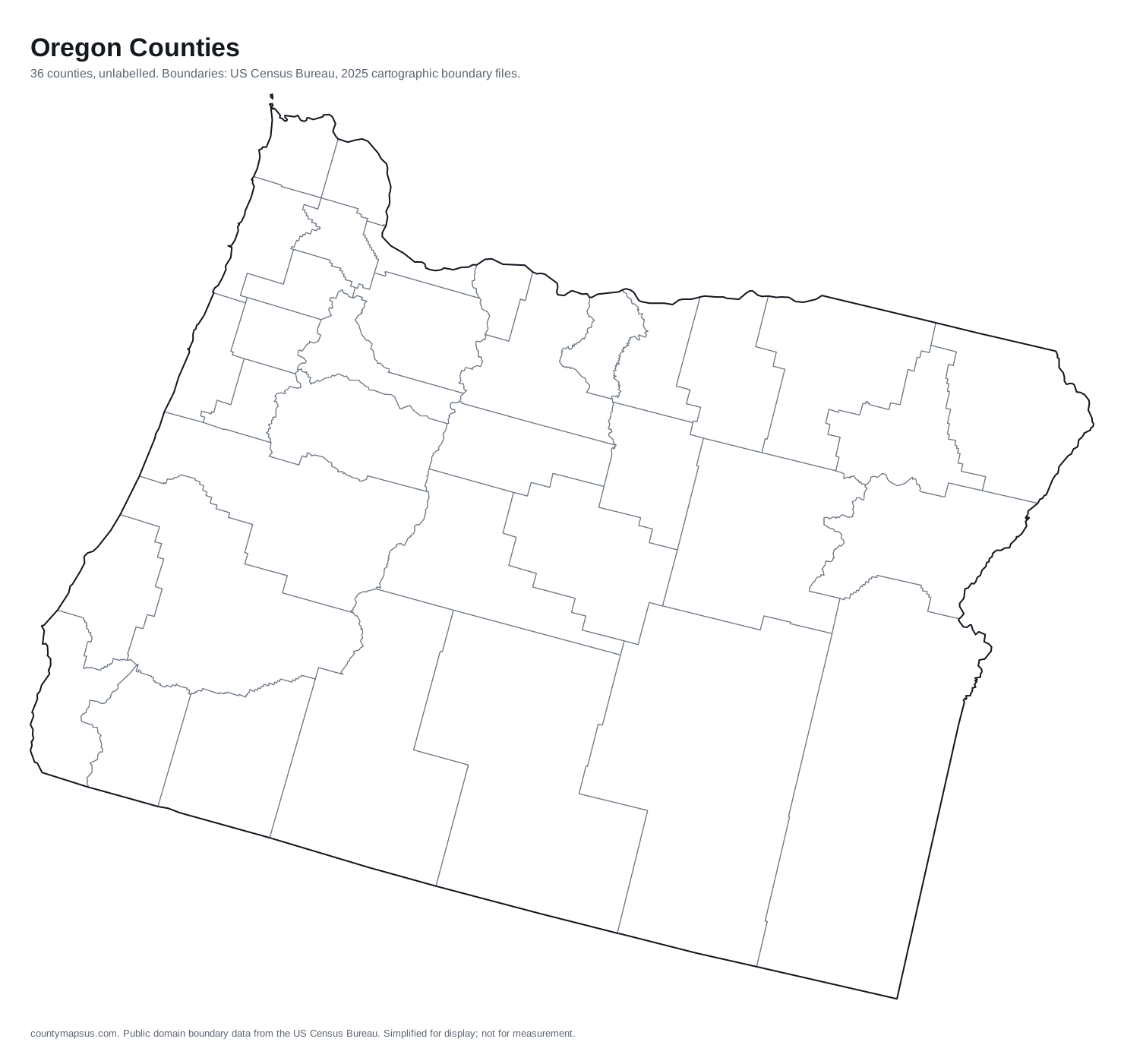
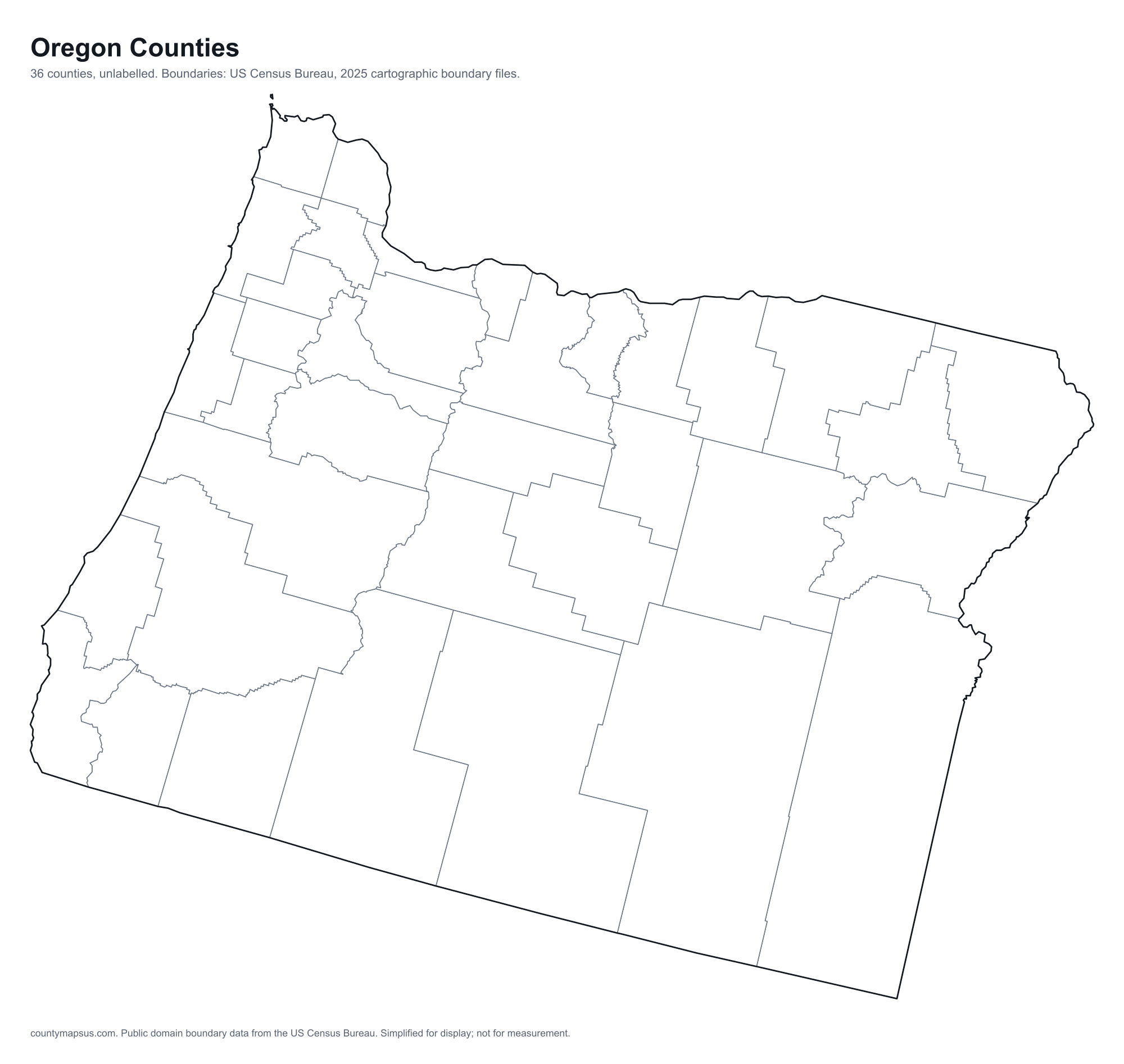
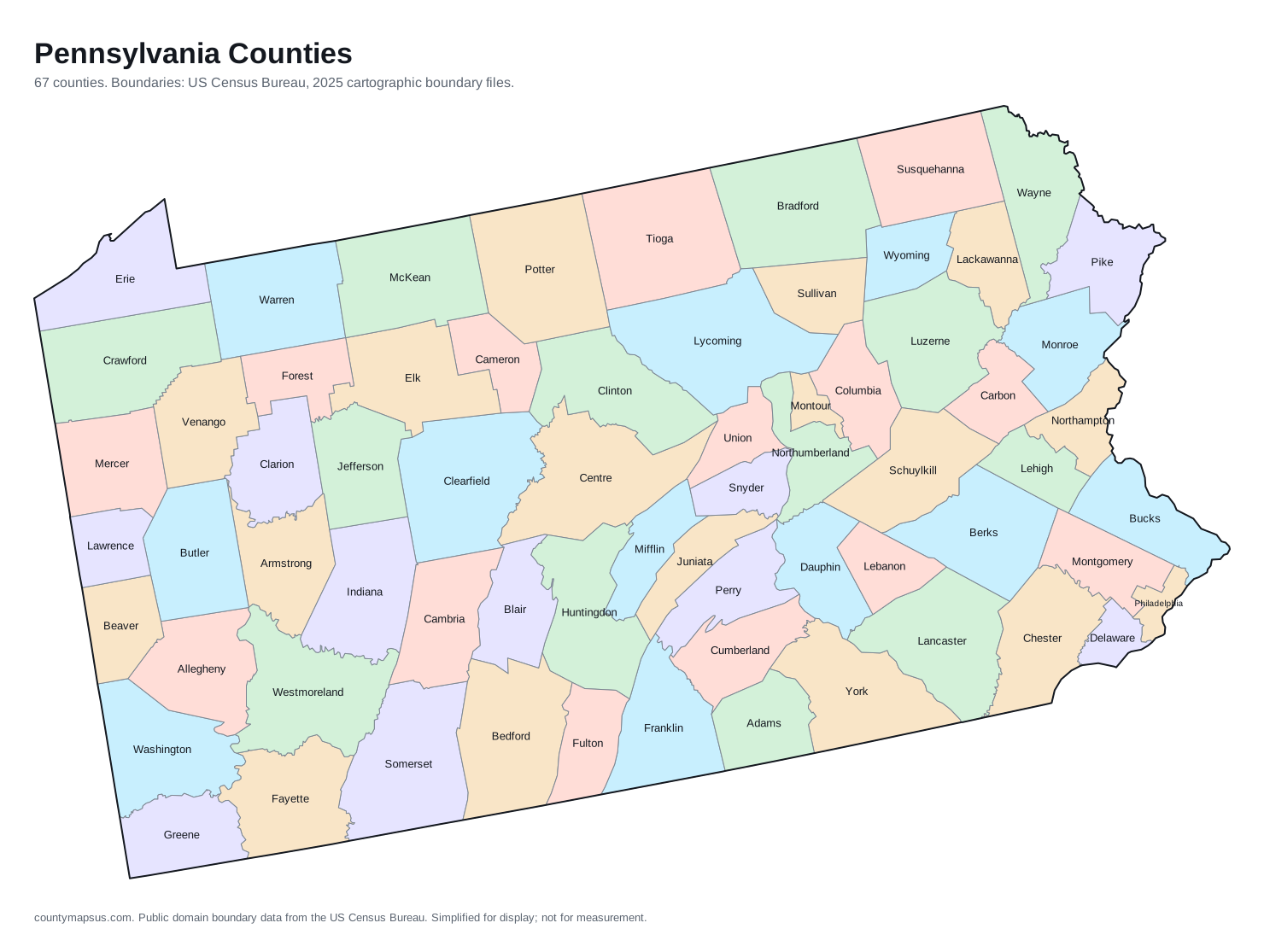
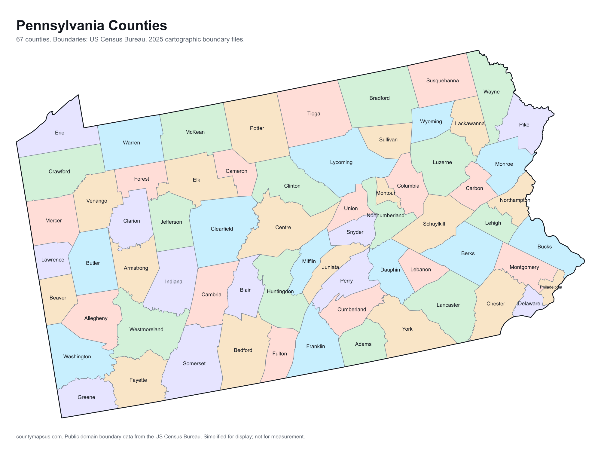
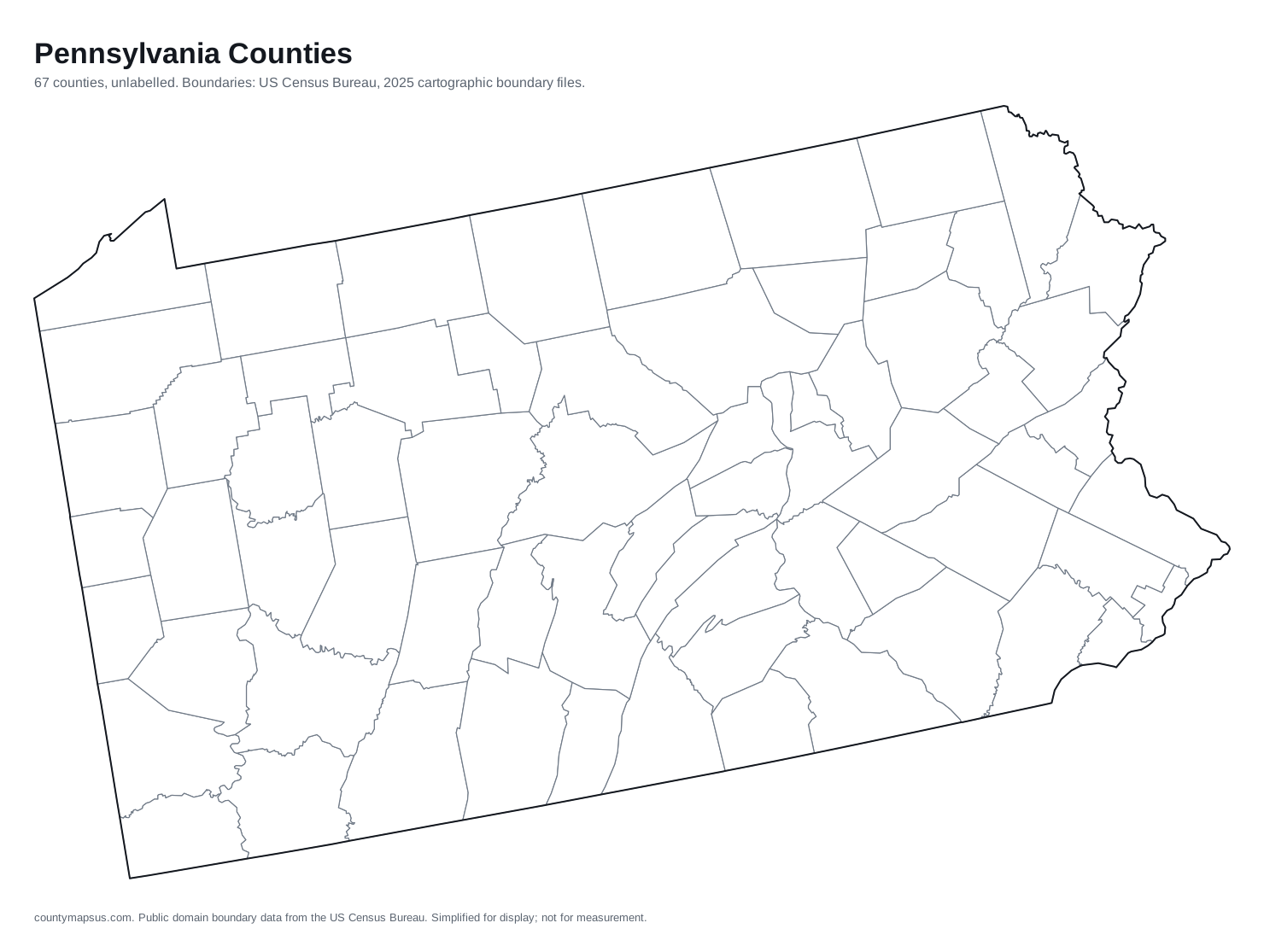
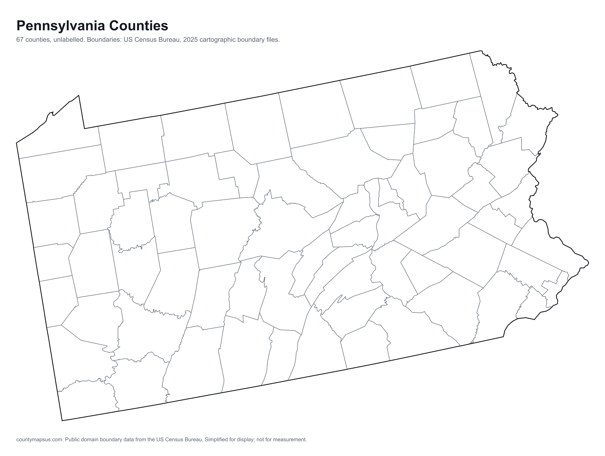
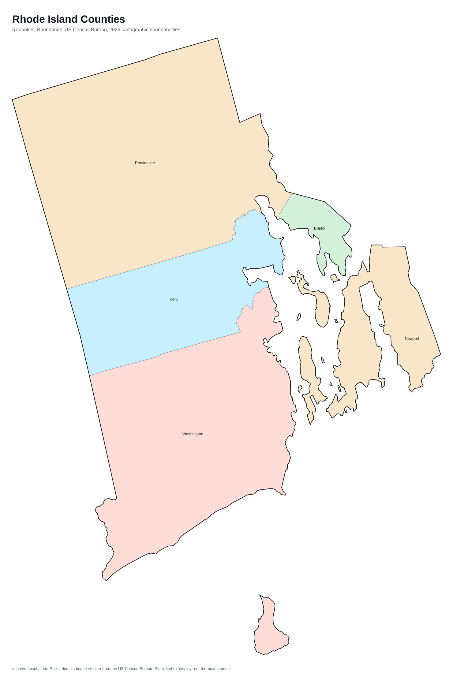
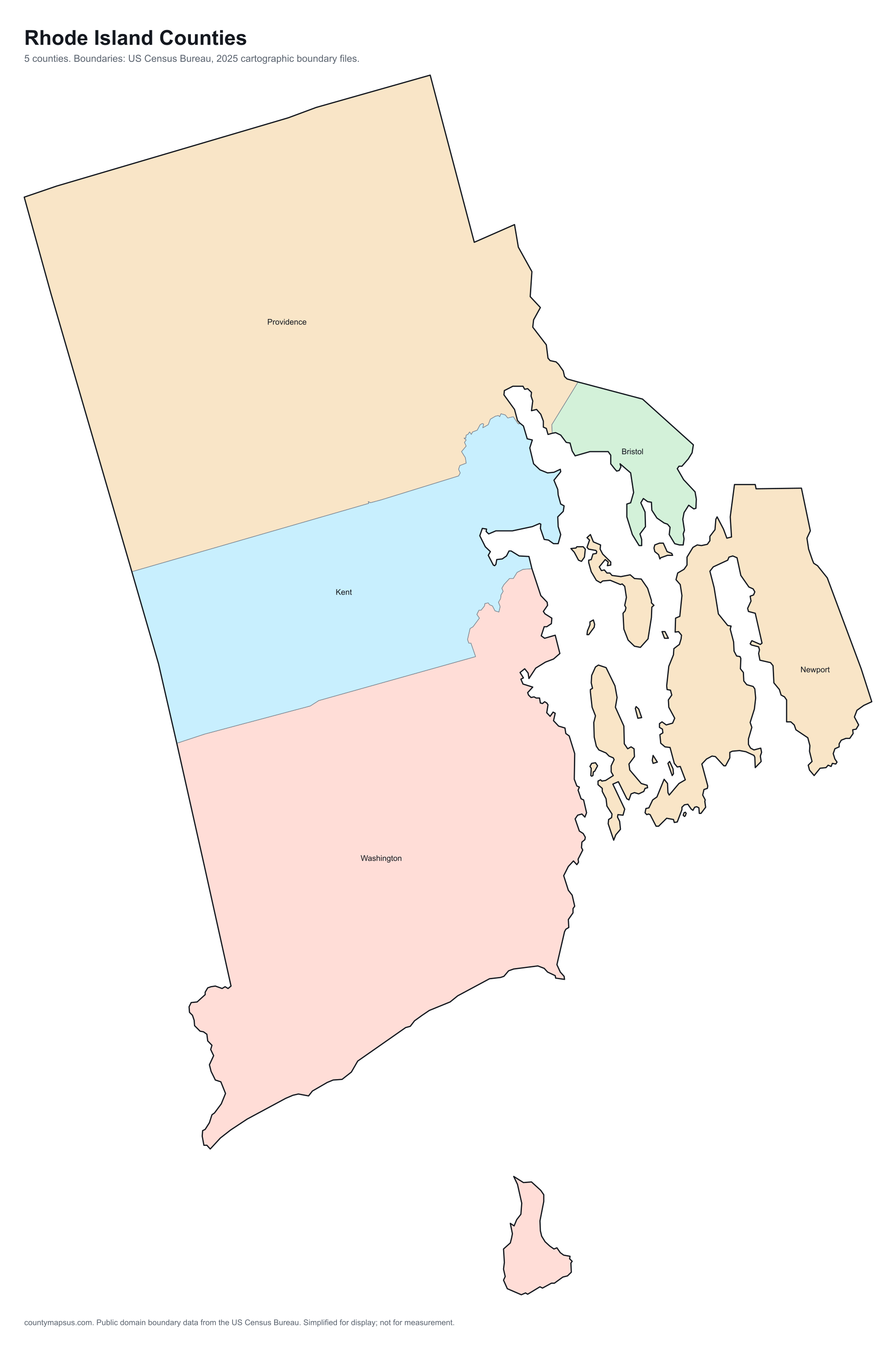
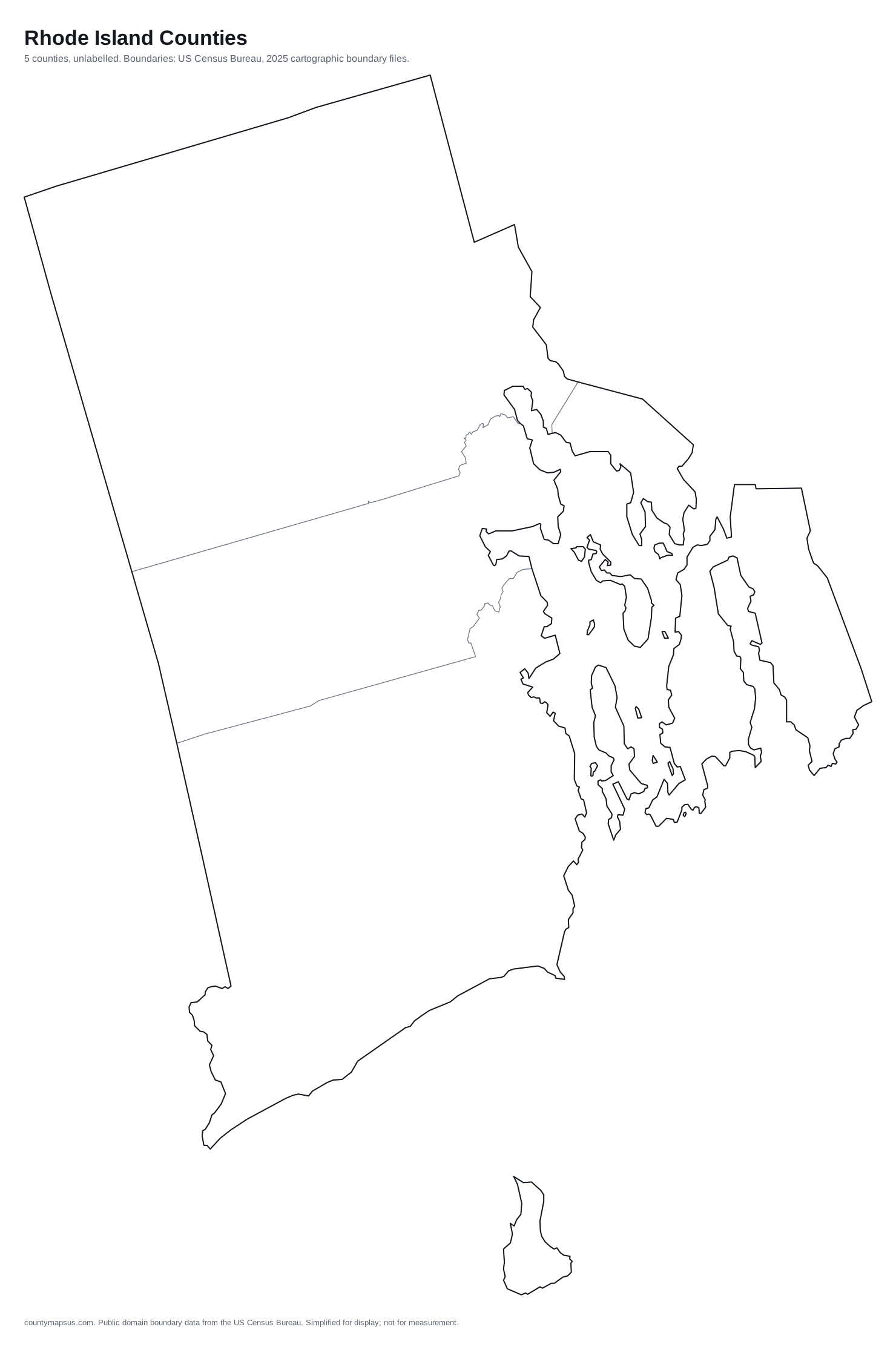
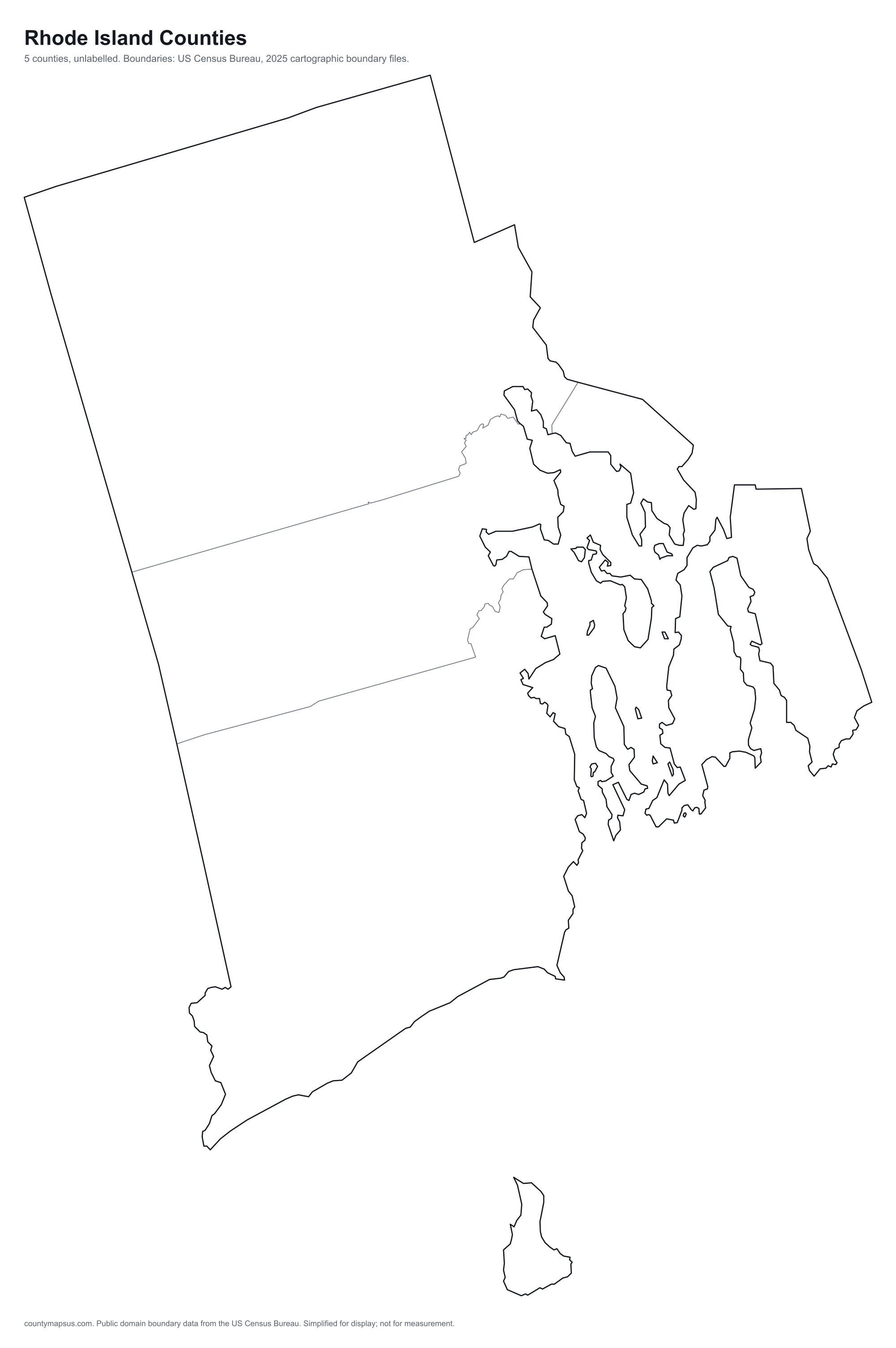
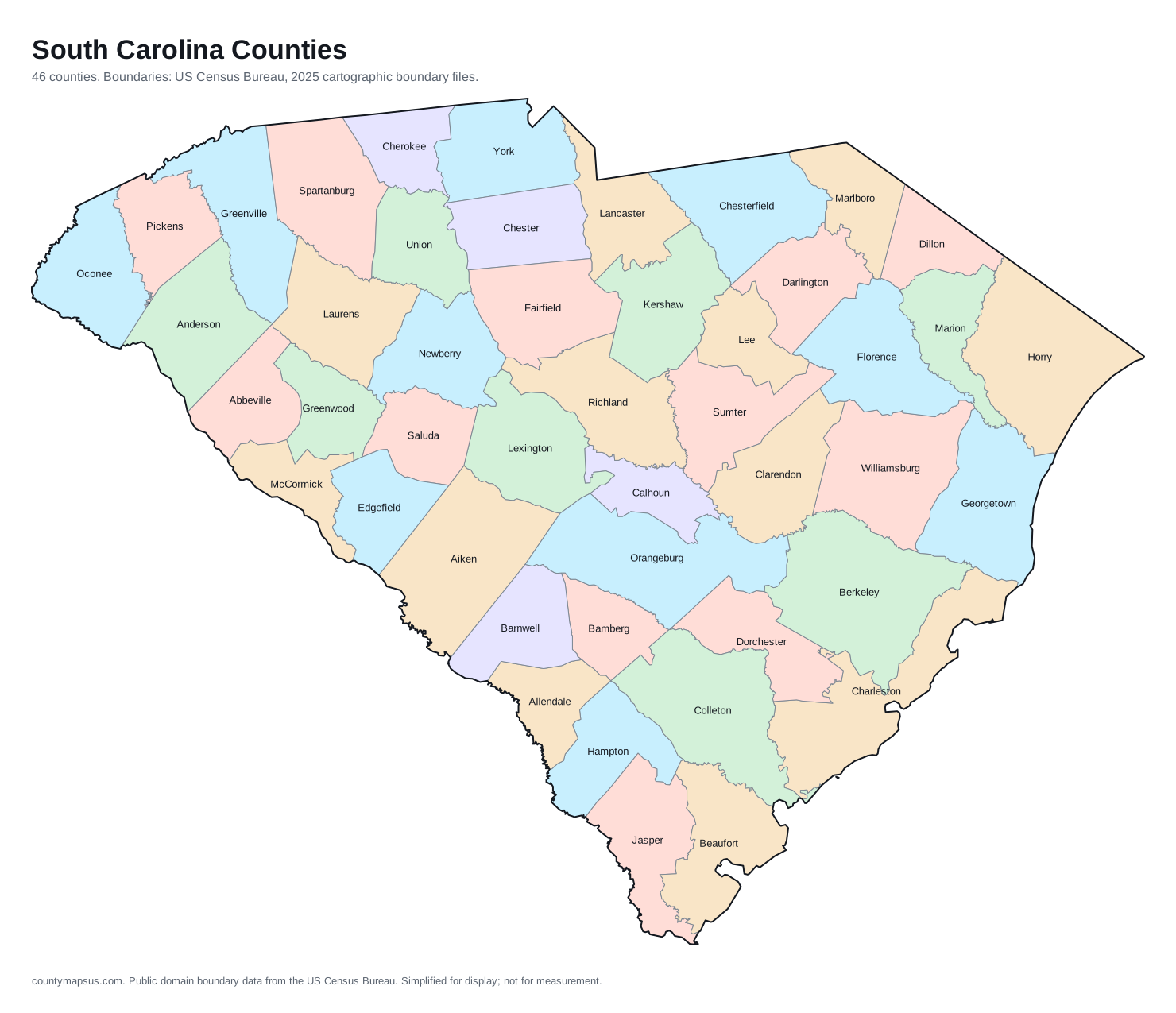
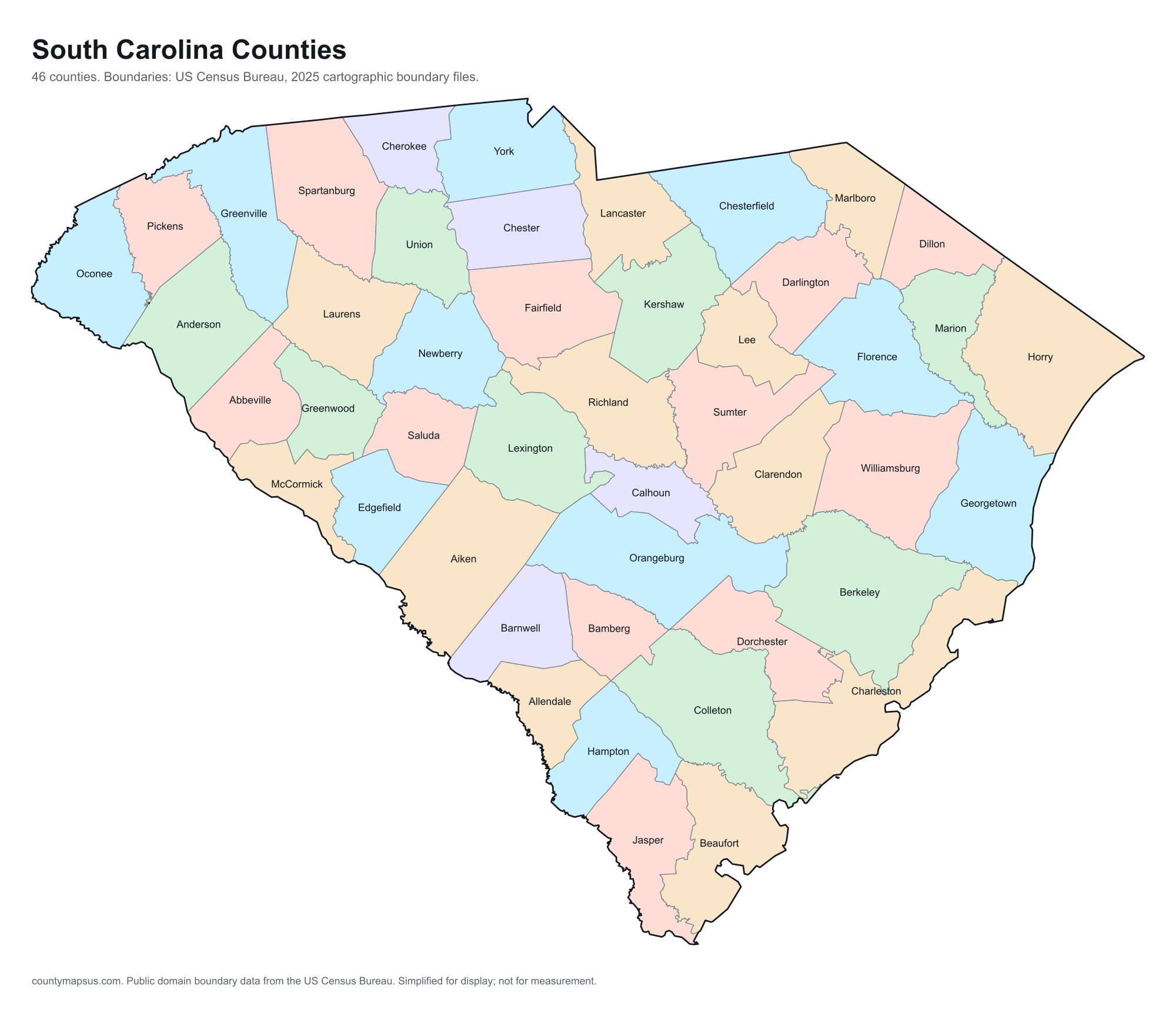
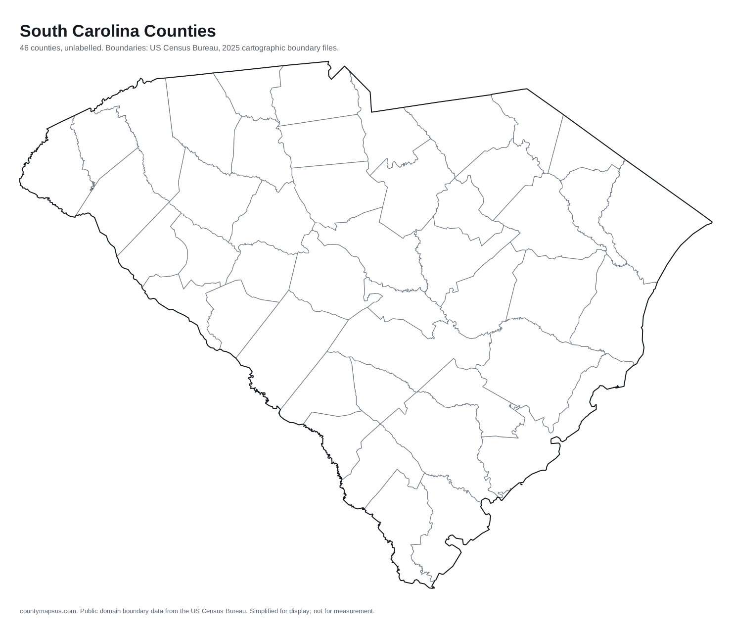
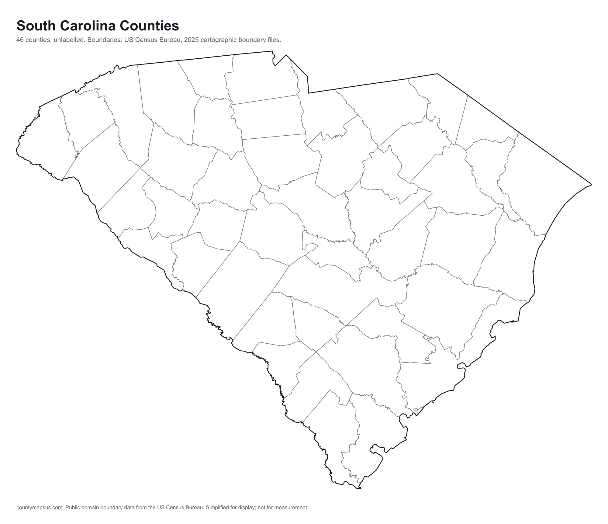
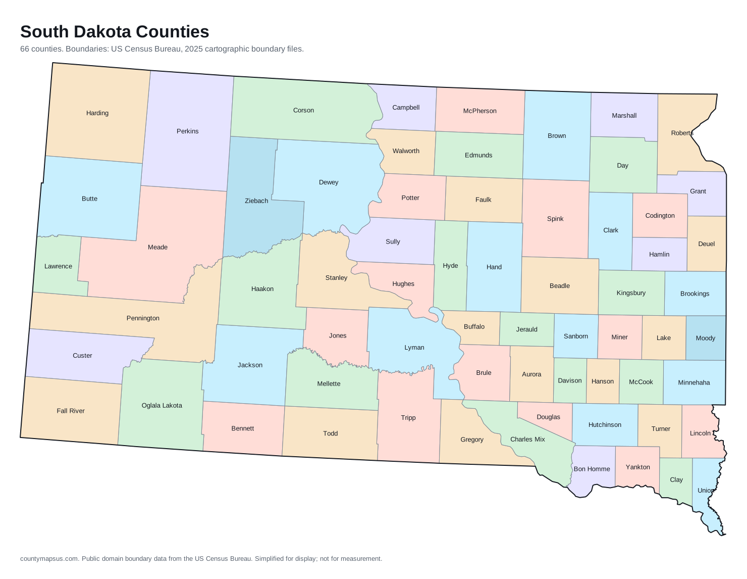
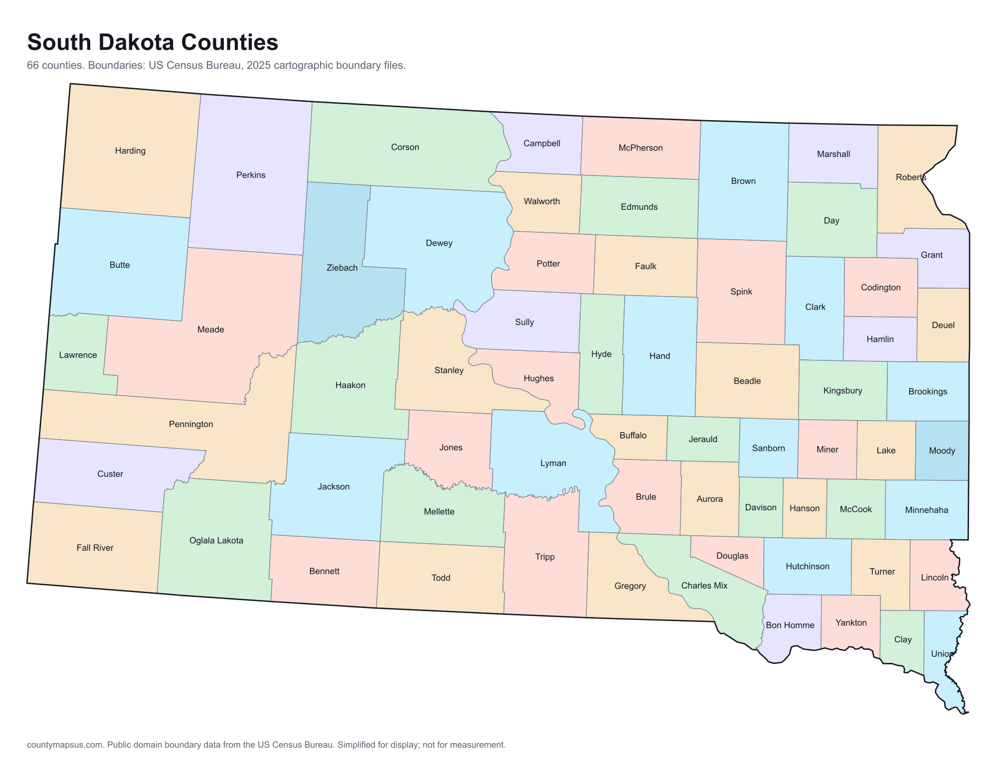
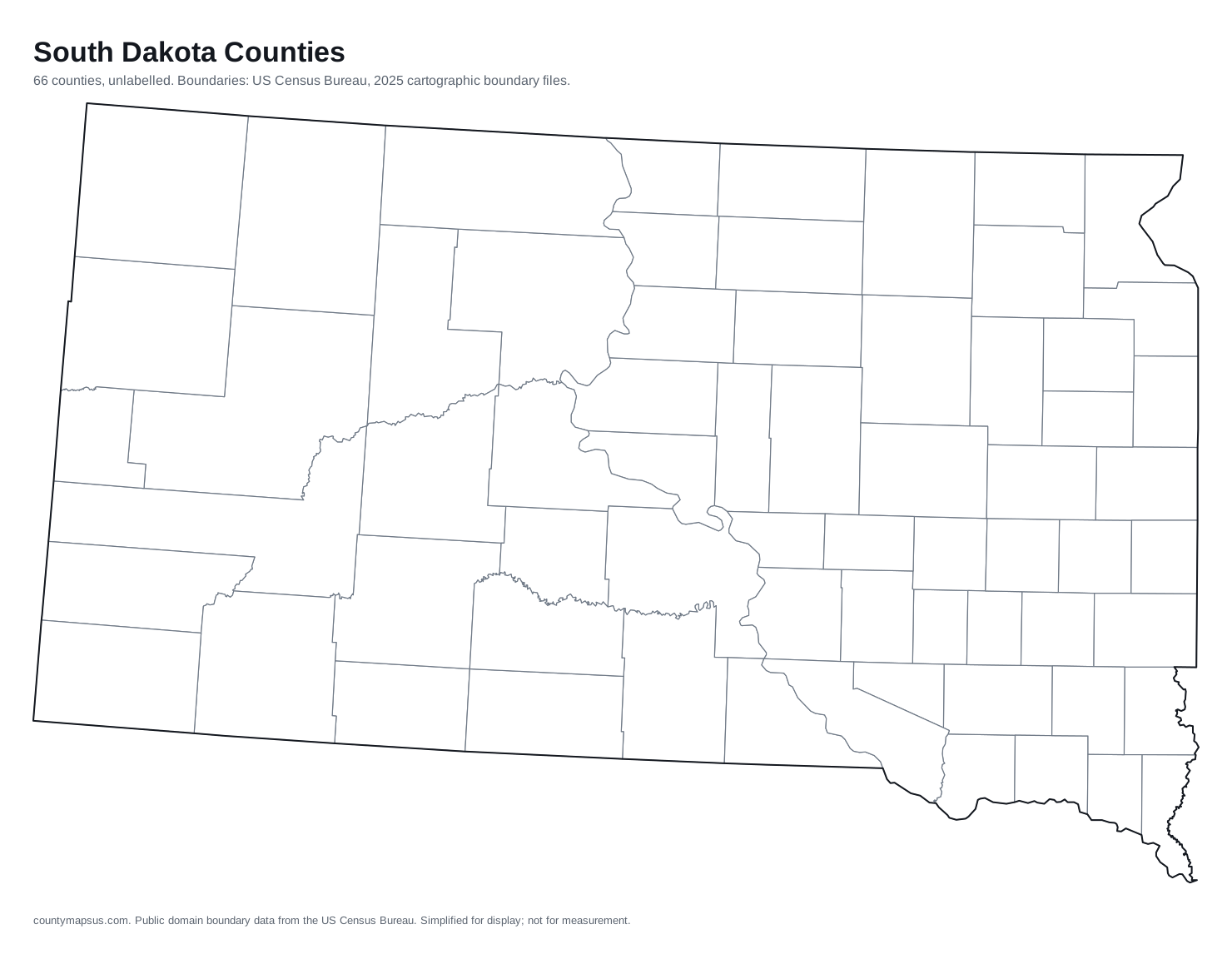
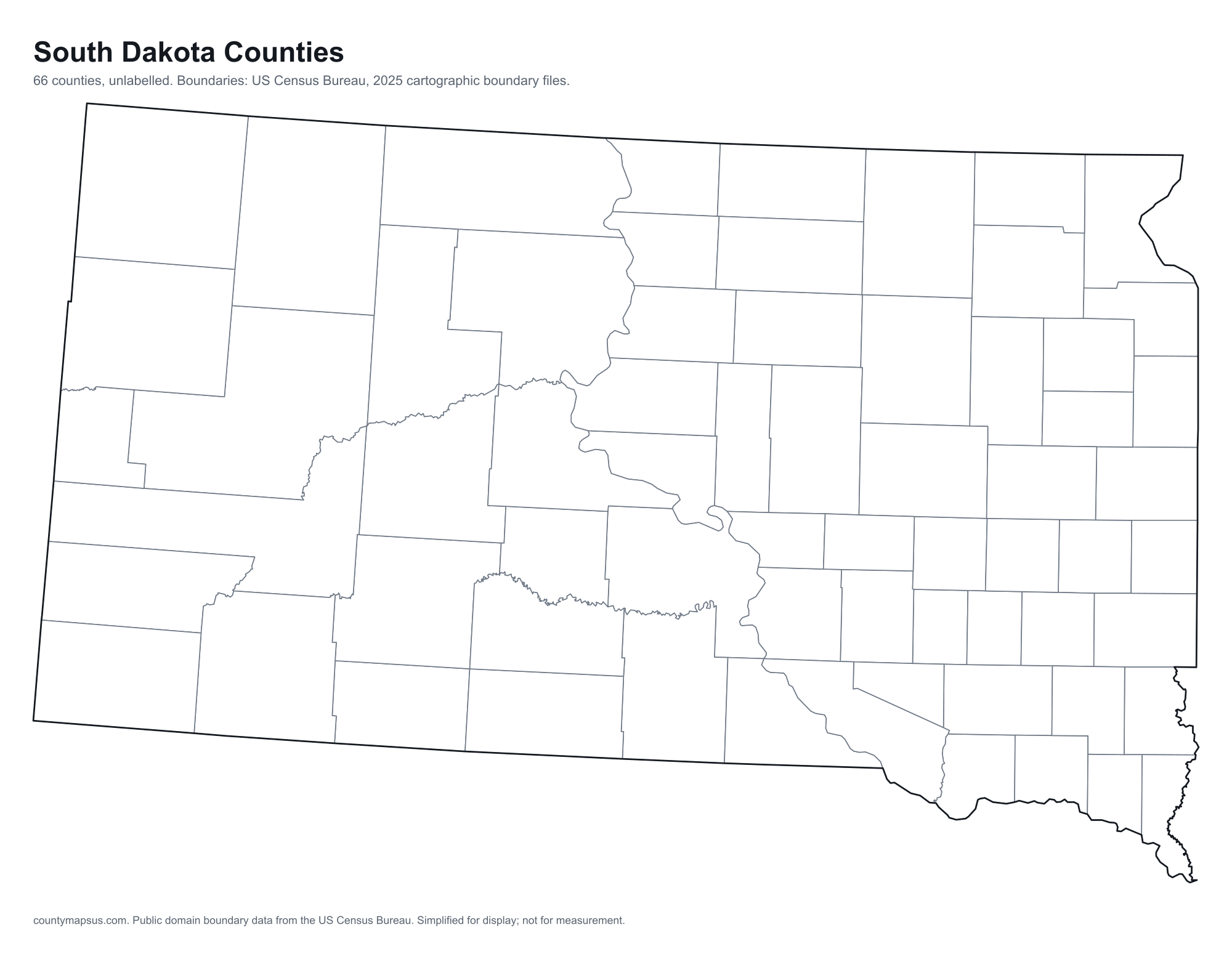
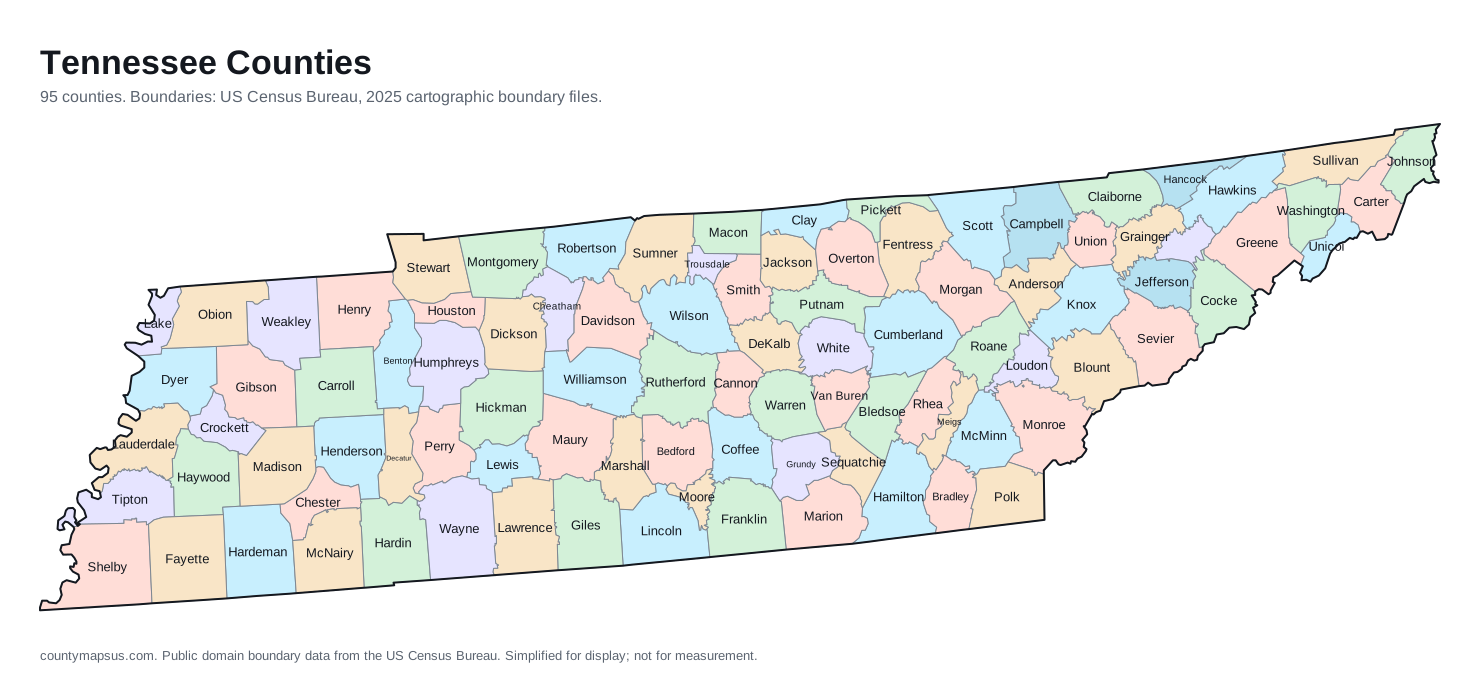
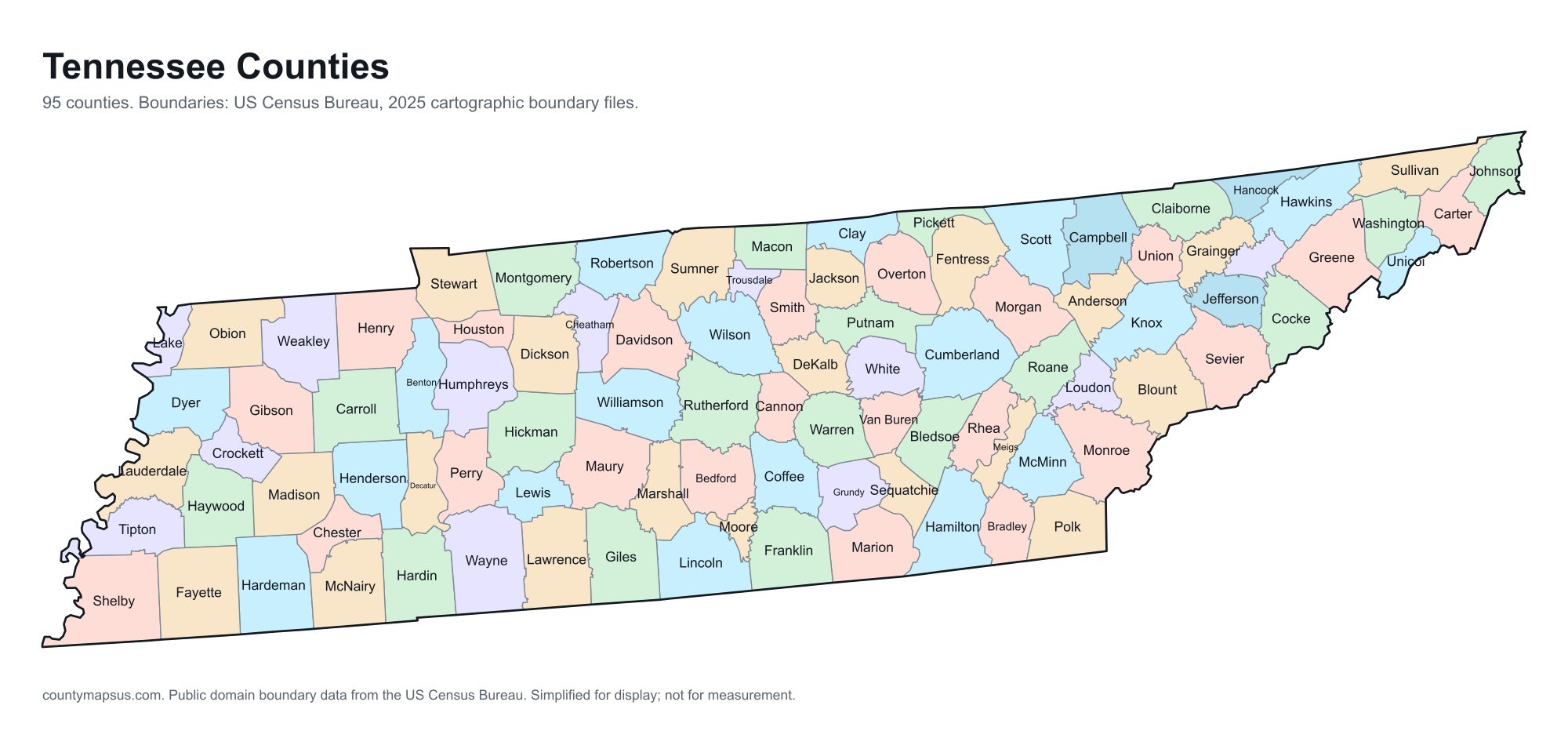
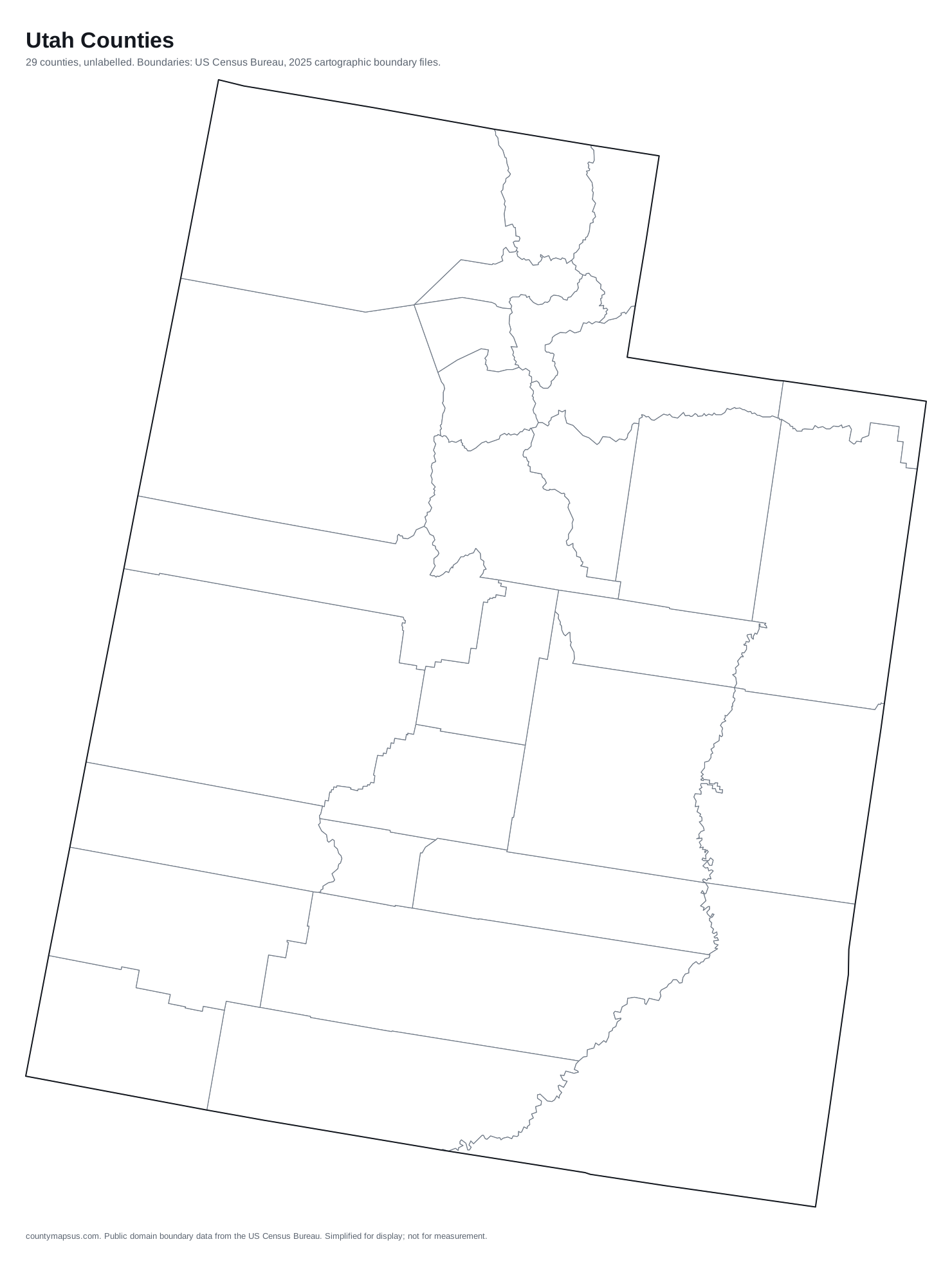
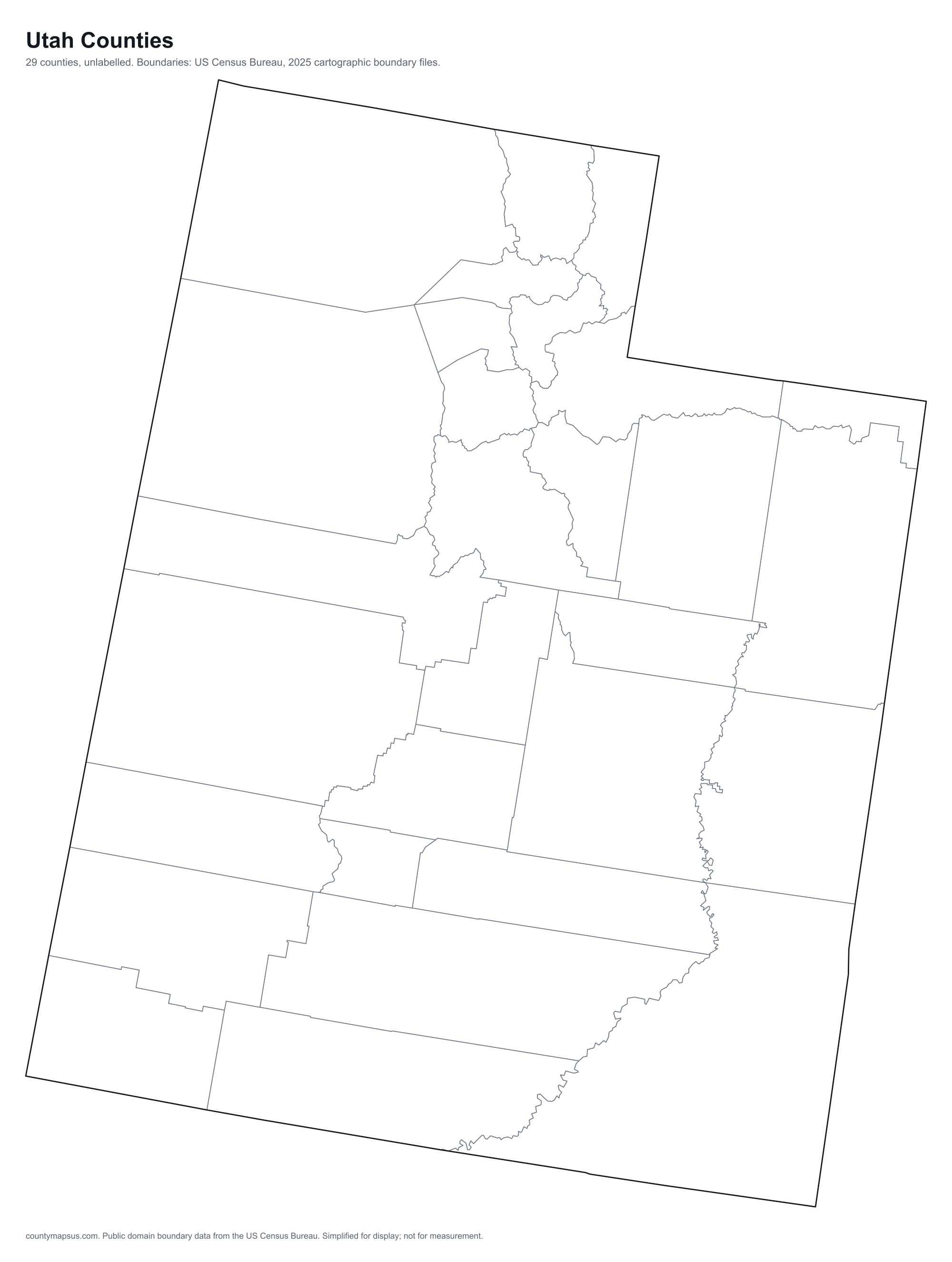
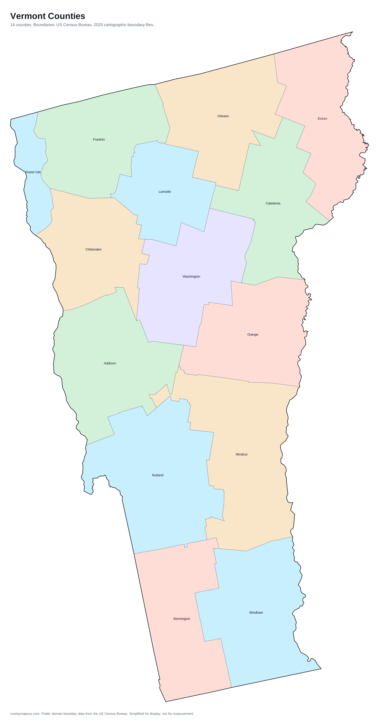
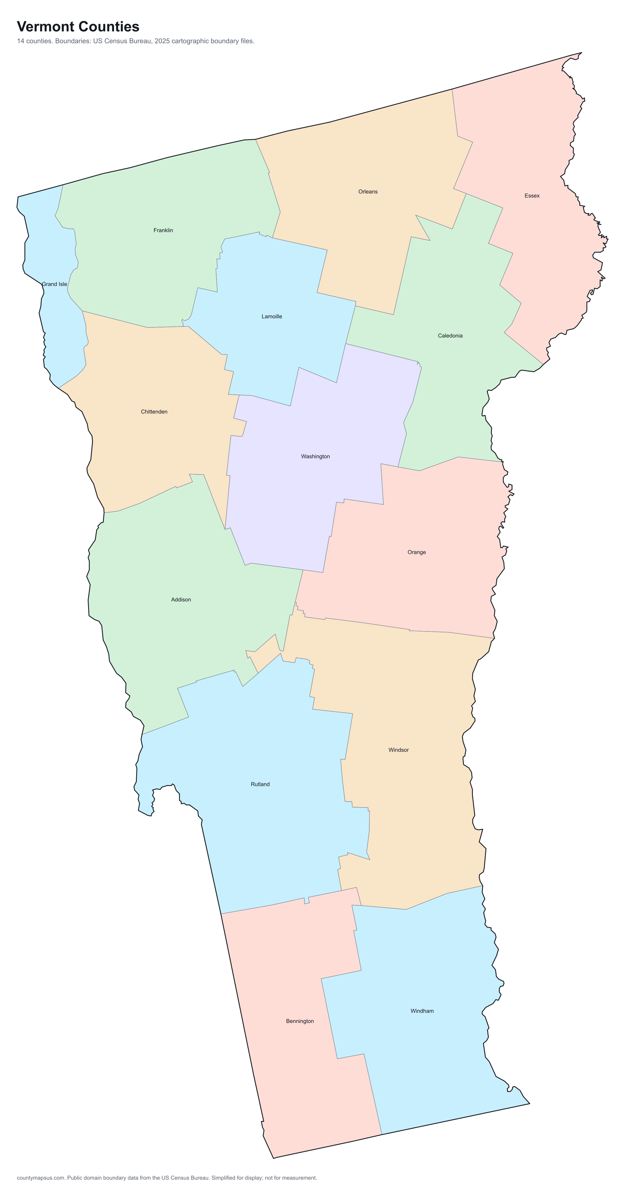
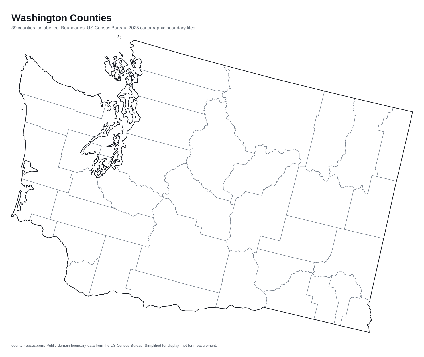
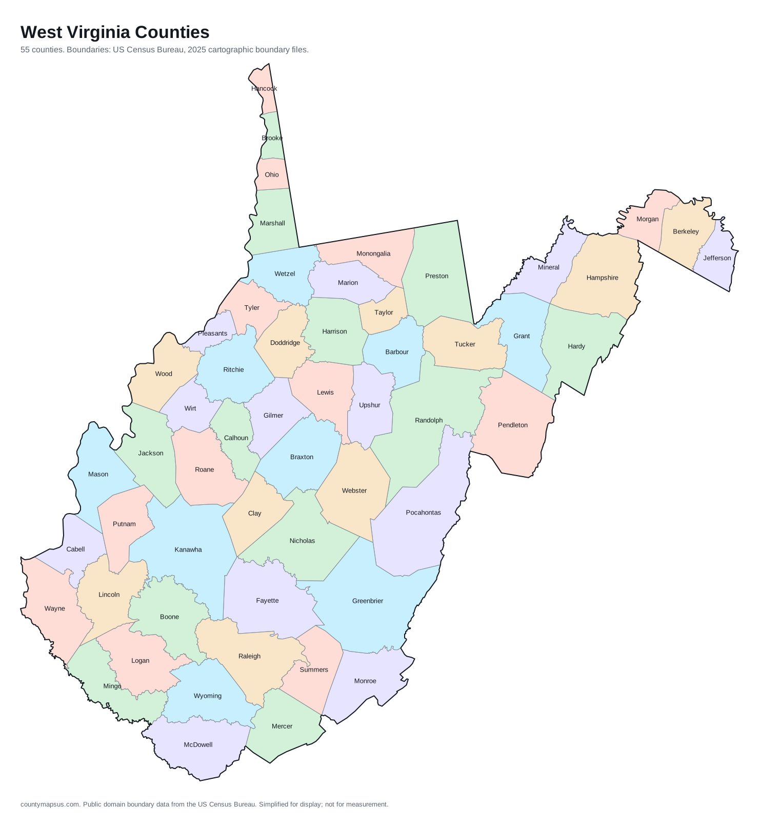
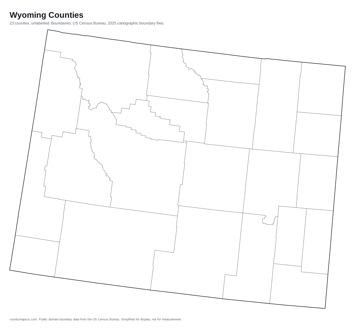
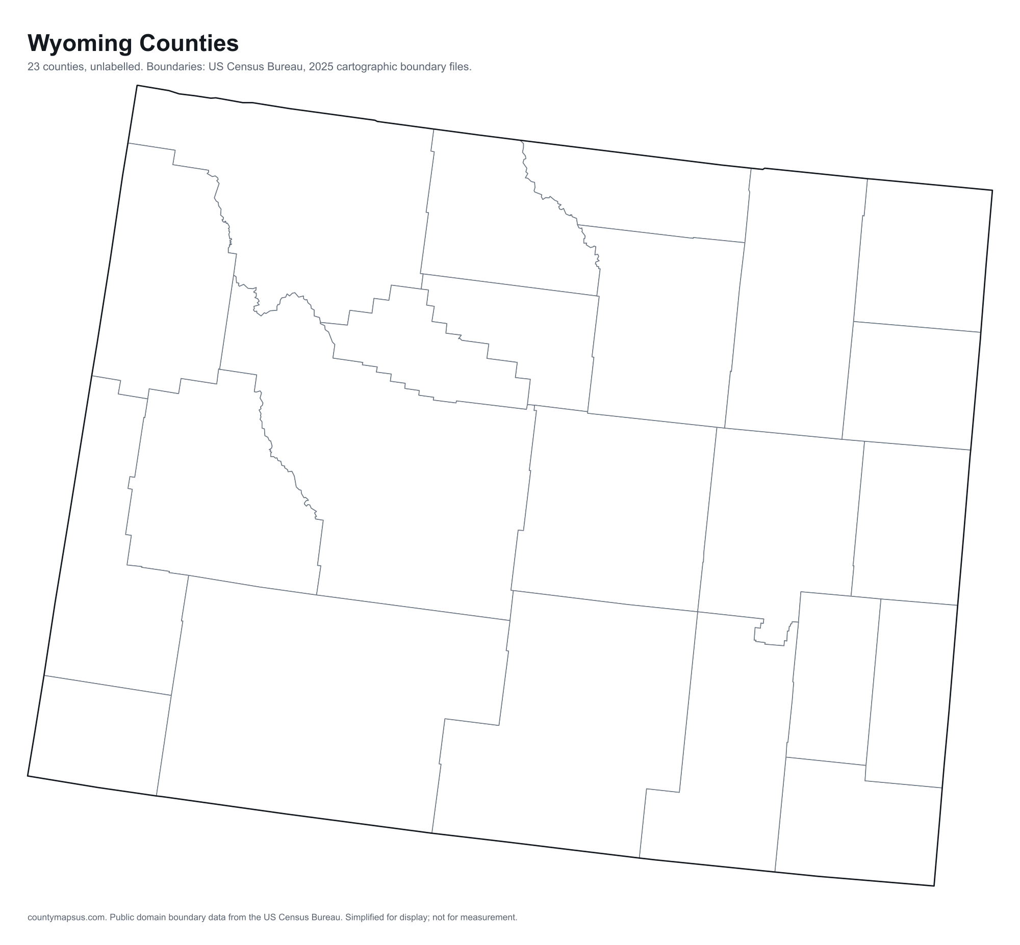
Data
One CSV per ranking table, and one containing everything. All are UTF-8 with a header row and a trailing comment giving the source and retrieval date. Empty cells mean no figure is published, never zero.
| File | Contents | Download |
|---|---|---|
| Everything | All 3,144 counties with 24 columns: identifiers, legal type, government flag, population series, area, density, seat, founding year, largest city, income, housing, coordinates and neighbour count | CSV |
| US counties by population | Rank, FIPS, name, state and the value, sorted | CSV |
| US counties by land area | Rank, FIPS, name, state and the value, sorted | CSV |
| US counties by population density | Rank, FIPS, name, state and the value, sorted | CSV |
| US counties by median household income | Rank, FIPS, name, state and the value, sorted | CSV |
| US counties by median age | Rank, FIPS, name, state and the value, sorted | CSV |
| US counties by housing units | Rank, FIPS, name, state and the value, sorted | CSV |
Boundary geometry
The simplified boundaries behind the interactive maps are available as TopoJSON, one file per state, projected to an Albers USA composite and already in pixel coordinates. These are what the site itself uses.
/geo/nation.jsonthe 51 state outlines/geo/states/OH.jsonand the same pattern for every other two-letter state code
For unsimplified, survey-grade geometry go to the Census Bureau's TIGER/Line files directly.Sources and licences.
Terms
Free for any use, commercial or otherwise. No account, no rate limit, no API key. If you need something in a format not listed here, ask: we would rather add a file than have someone scrape the site. Files are regenerated whenever the underlying data is refreshed, most recently on the date at the top of this page.The refresh schedule.